Pearcehill Plantation
Wood, Forest in Derbyshire North East Derbyshire
England
Pearcehill Plantation
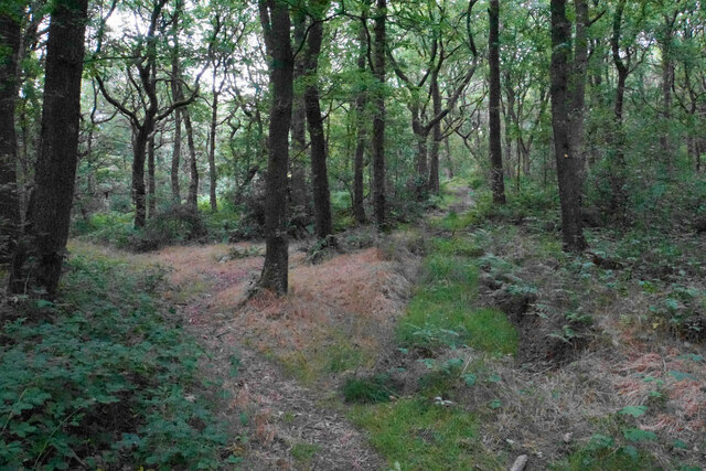
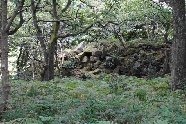
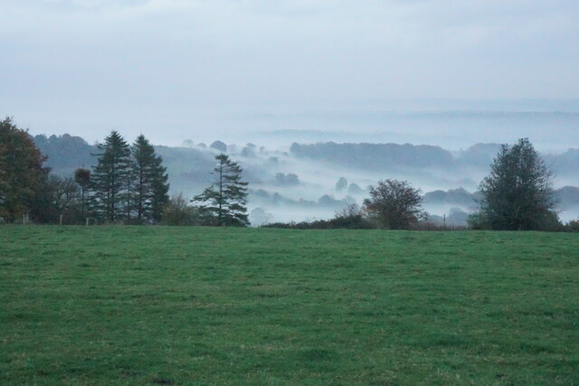
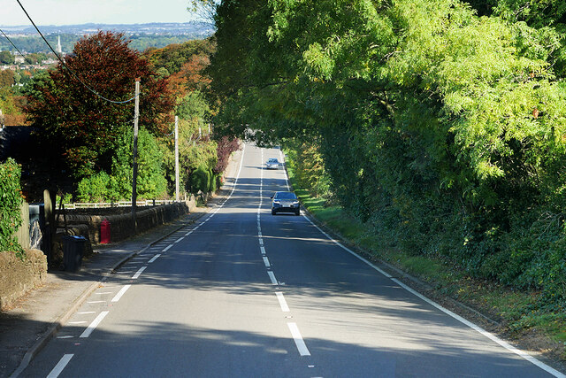
Pearcehill Plantation is a picturesque woodland located in the county of Derbyshire, England. Situated near the village of Wood, the plantation covers an area of approximately 200 acres, making it one of the largest forested areas in the region.
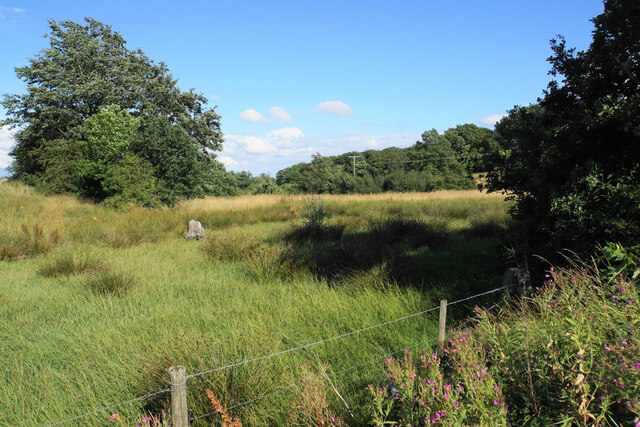
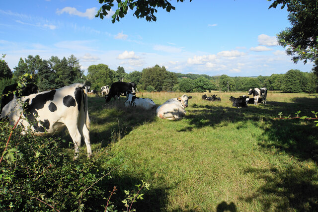
The woodland is characterized by a diverse range of tree species, including oak, beech, ash, and birch, which create a rich and vibrant tapestry of colors throughout the year. The density of the plantation provides an ideal habitat for a variety of wildlife, including deer, foxes, badgers, and a wide array of bird species.
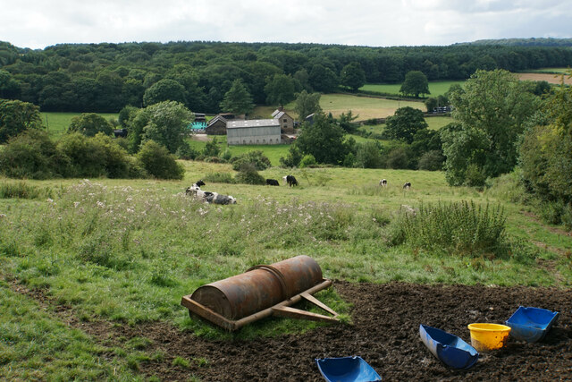
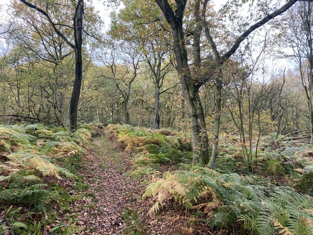
A network of well-maintained footpaths and trails crisscrosses the plantation, offering visitors the opportunity to explore its natural beauty. These paths are suitable for both leisurely walks and more challenging hikes, providing options for people of all fitness levels. Additionally, there are several designated picnic areas and benches scattered throughout the woodland, allowing visitors to relax and enjoy the peaceful surroundings.
Pearcehill Plantation is not only a haven for nature enthusiasts but also serves as an important ecological resource. The forest contributes to the local ecosystem by improving air quality, reducing soil erosion, and providing a natural habitat for a variety of flora and fauna.
The woodland is open to the public year-round and is managed by the local forestry commission. A small parking lot is available at the entrance, and visitors are advised to follow the designated trails and respect the natural environment. Pearcehill Plantation offers a tranquil escape from the hustle and bustle of daily life, providing an opportunity to connect with nature and enjoy the beauty of Derbyshire's woodlands.
If you have any feedback on the listing, please let us know in the comments section below.
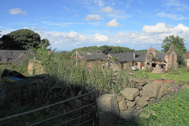
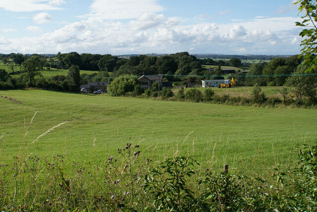
Pearcehill Plantation Images
Images are sourced within 2km of 53.203556/-1.4639699 or Grid Reference SK3567. Thanks to Geograph Open Source API. All images are credited.

Pearcehill Plantation is located at Grid Ref: SK3567 (Lat: 53.203556, Lng: -1.4639699)
Administrative County: Derbyshire
District: North East Derbyshire
Police Authority: Derbyshire
What 3 Words
///fruit.airstrip.providing. Near Walton, Derbyshire
Related Wikis
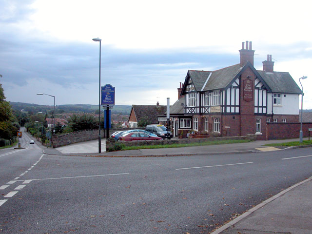
Walton, Chesterfield
Walton is a suburb of Chesterfield, in the Chesterfield district, in the county of Derbyshire, England. Walton extends into the neighbouring North East...

Holymoorside
Holymoorside is a village in the civil parish of Holymoorside and Walton, in the North East Derbyshire district, in the county of Derbyshire, England,...

Walton Hall, Chesterfield
Walton Hall is a late 18th-century country house, now a farmhouse, situated at Foljambe Avenue, Walton, Chesterfield. It is a Grade II listed building...
Wingerworth
Wingerworth is a large village and parish in North East Derbyshire, England. Its population, according to the 2011 census, was 6,533. Wingerworth is 3...

All Saints' Church, Wingerworth
All Saints’ Church, Wingerworth is a Grade I listed parish church in the Church of England in Wingerworth, Derbyshire. == History == The church dates from...

North East Derbyshire
North East Derbyshire is a local government district in Derbyshire, England. The council is based in the large village of Wingerworth. The district also...
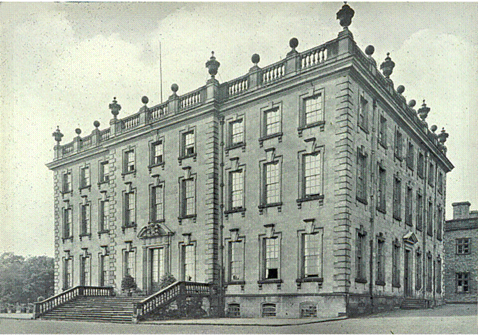
Wingerworth Hall
Wingerworth Hall, demolished 1927, was the ancestral home of the Hunloke family in the village of Wingerworth, Derbyshire, England. It was built on an...
Somersall Hall
Somersall Hall is a small country house near Brampton, Chesterfield, Derbyshire. It is a Grade II listed building.The Clarke family owned the estate in...
Nearby Amenities
Located within 500m of 53.203556,-1.4639699Have you been to Pearcehill Plantation?
Leave your review of Pearcehill Plantation below (or comments, questions and feedback).