Embury Beacon
Heritage Site in Devon Torridge
England
Embury Beacon
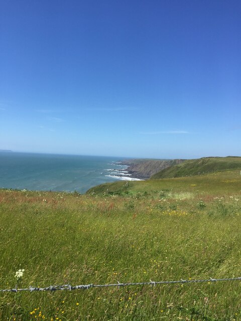
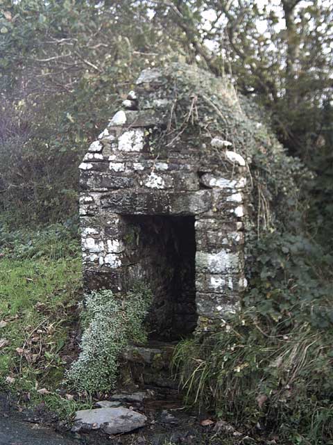
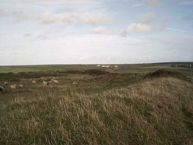
Embury Beacon is a historic landmark situated in Devon, England. This heritage site holds significant historical and cultural value for the local community and visitors alike. The beacon is located on a hilltop, offering breathtaking panoramic views of the surrounding countryside.
Dating back to the 16th century, Embury Beacon was originally constructed as a signaling point to warn of impending threats, such as enemy invasions or fires. It played a crucial role in the region's defense system, enabling the transmission of messages across long distances using a series of fires or smoke signals.
The structure itself consists of a tall stone tower, which stands as a testament to the architectural prowess of the time. The tower has undergone several renovations over the years to preserve its historical integrity, making it an excellent example of traditional English craftsmanship.
Today, Embury Beacon serves as a popular tourist attraction, drawing visitors who are keen to explore its rich heritage. The site offers educational exhibits and informative displays detailing the function and significance of the beacon throughout history. Additionally, visitors can enjoy guided tours that provide insights into the site's past and its connection to the local area.
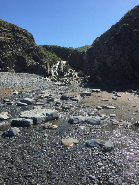
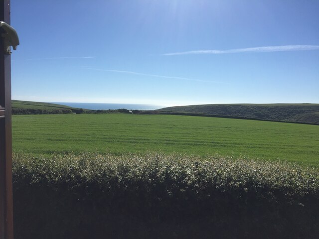
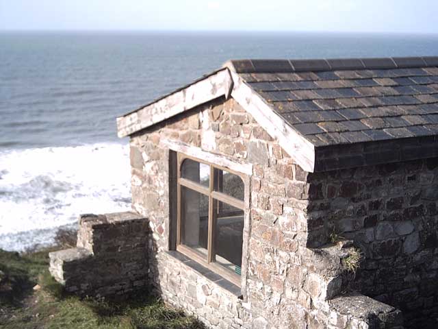
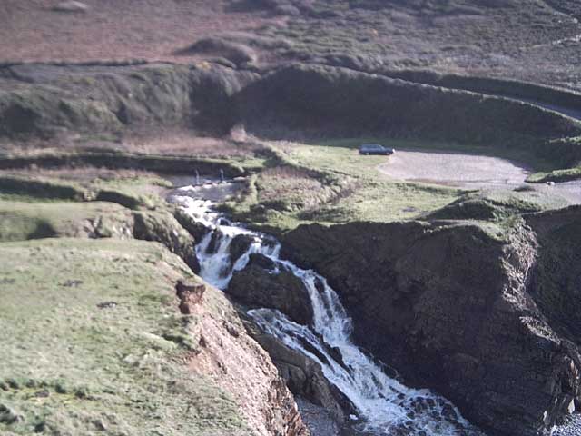
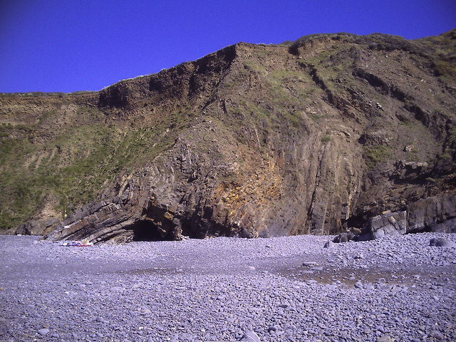
Embury Beacon is not only a heritage site but also a place of natural beauty. Its elevated position allows visitors to relish in stunning vistas of the rolling hills, verdant valleys, and picturesque landscapes that characterize the Devon region.
Whether for its historical significance, architectural splendor, or stunning views, Embury Beacon continues to captivate visitors, providing a glimpse into England's past and a connection to its natural surroundings.
If you have any feedback on the listing, please let us know in the comments section below.
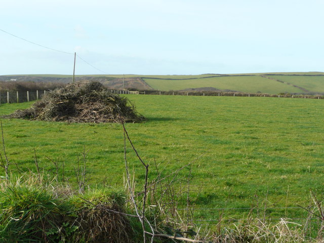
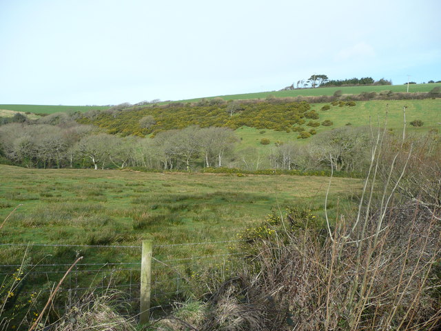
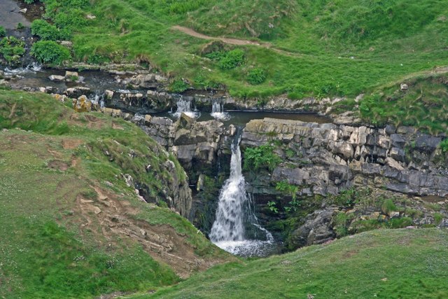
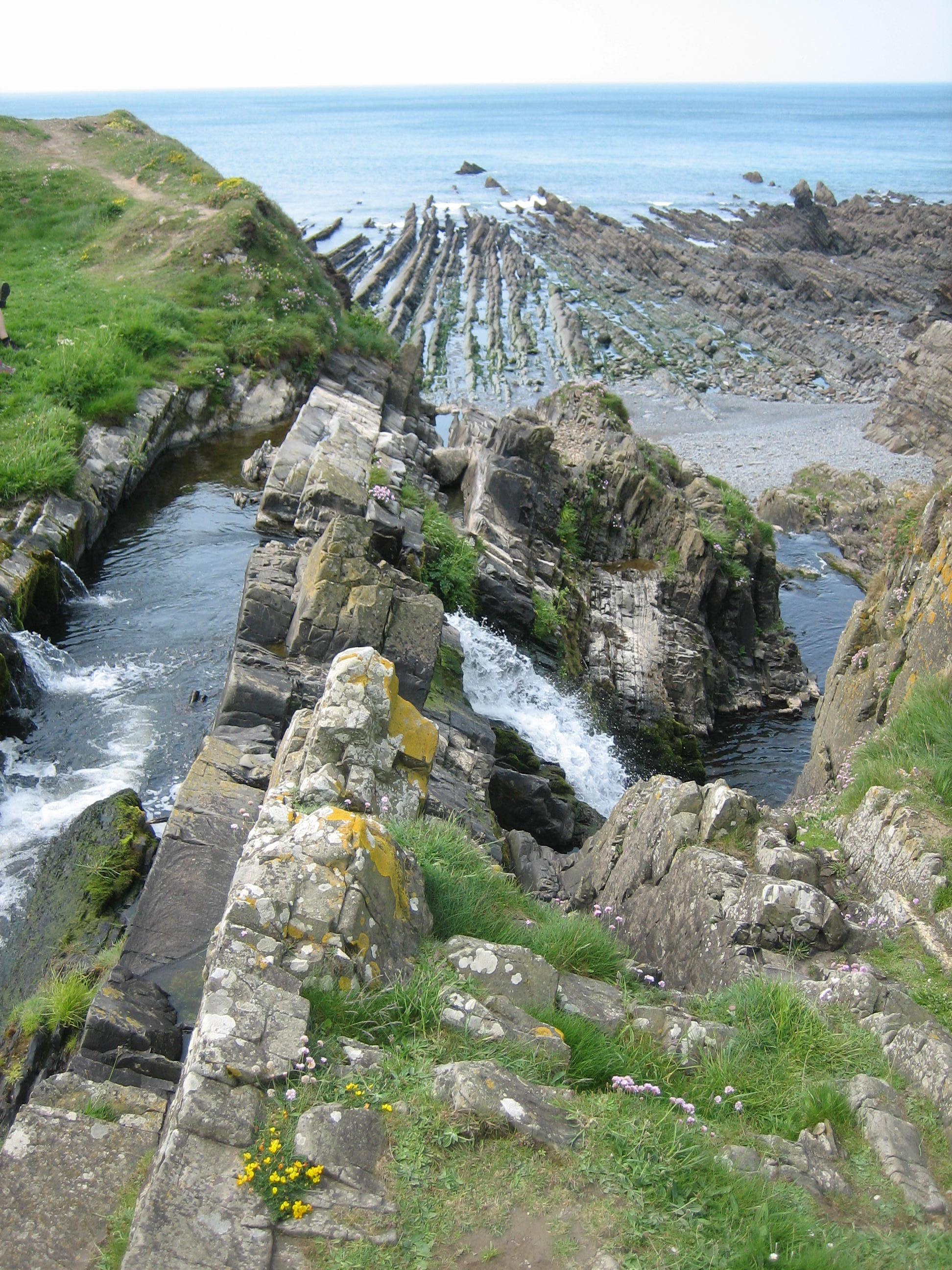
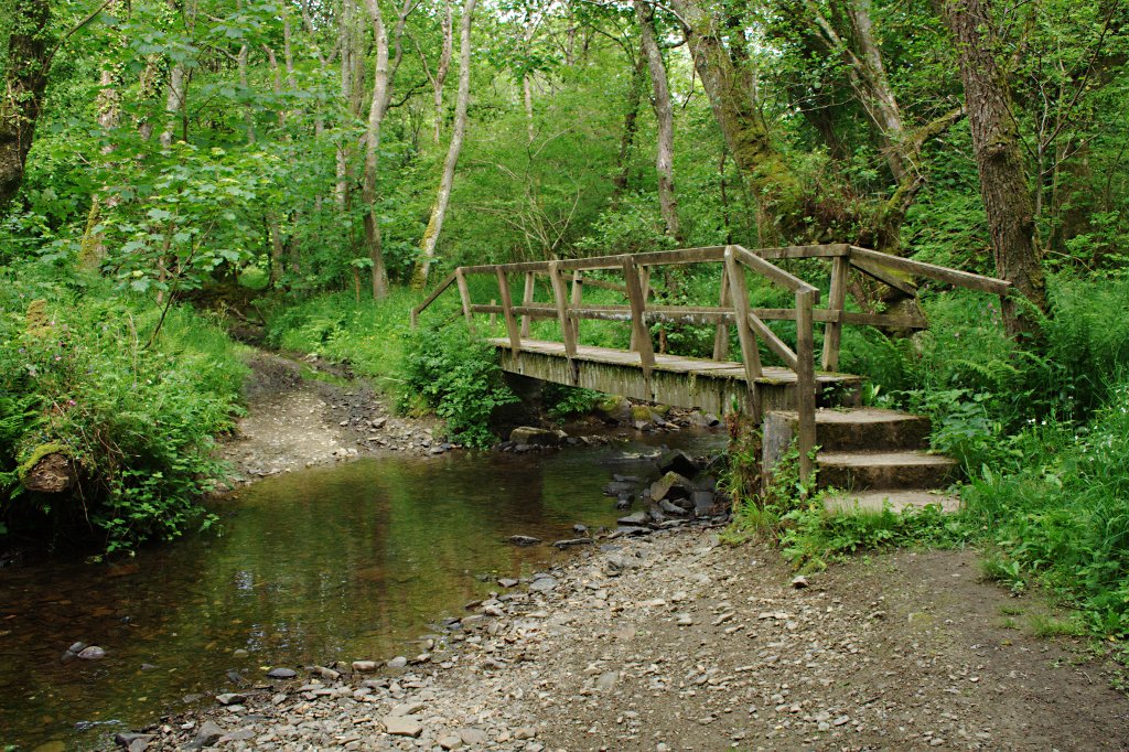
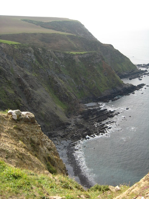
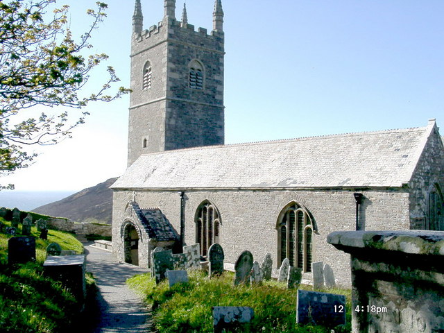
Embury Beacon Images
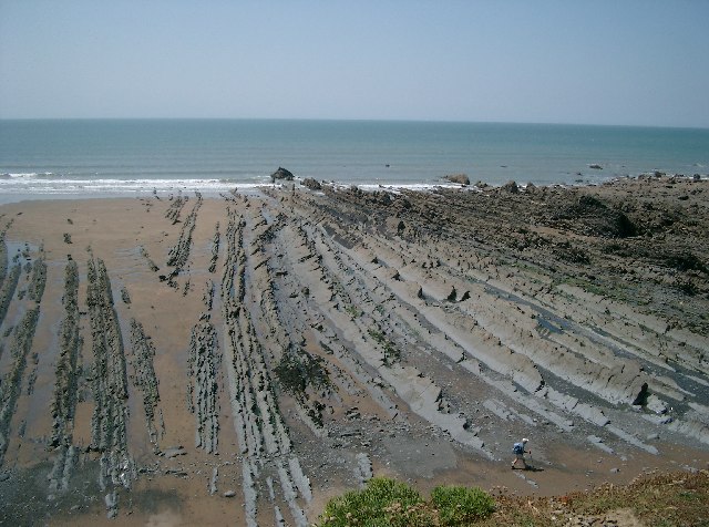
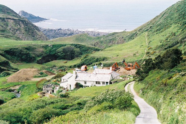
Images are sourced within 2km of 50.947/-4.542 or Grid Reference SS2119. Thanks to Geograph Open Source API. All images are credited.


Embury Beacon is located at Grid Ref: SS2119 (Lat: 50.947, Lng: -4.542)
Administrative County: Devon
District: Torridge
Police Authority: Devon and Cornwall
What 3 Words
///showrooms.configure.punters. Near Flexbury, Cornwall
Nearby Locations
Related Wikis

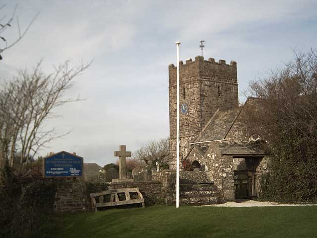
St Nectan's Church, Welcombe
St Nectan's Church is the parish church of Welcombe, on the border of Devon and Cornwall. W. G. Hoskins writes "St Nectan's Chapel was one of the many...
Welcombe
Welcombe is a village and civil parish on the coast of north Devon, England, just north of the border with Cornwall. It is part of the district of Torridge...

RFA Green Ranger
RFA Green Ranger was a Ranger-class fleet support tanker of the Royal Fleet Auxiliary. On 24 September 1946, Green Ranger was struck by a torpedo in Portland...

Gooseham Mill
Gooseham Mill is a hamlet in the parish of Morwenstow, Cornwall, England.The hamlet lies below Gooseham hamlet, in the Marsland valley. The county border...
Marsland Valley
Marsland Valley is a nature reserve situated in two large valleys which straddle the northern end of the Devon-Cornwall border. It is a designated nature...

Gooseham
Gooseham (Cornish: Pras an Woodh) is a hamlet in northeast Cornwall, England, United Kingdom. It is situated six miles (11 km) north of Bude and is approximately...
Steeple Point to Marsland Mouth
Steeple Point to Marsland Mouth is a coastal Site of Special Scientific Interest (SSSI) in Cornwall, England, UK, noted for its biological characteristics...
Church of St Morwenna and St John the Baptist, Morwenstow
The Church of St Morwenna and St John the Baptist is the parish church of Morwenstow, north Cornwall, England, United Kingdom, the most northerly parish...
Nearby Amenities
Located within 500m of 50.947,-4.542Have you been to Embury Beacon?
Leave your review of Embury Beacon below (or comments, questions and feedback).