Welcombe

Heritage Site in Devon Torridge

England

Welcombe

Welcome Mouth Waterfall
Welcome Mouth Waterfall Credit: thejackrustles

Welcombe, located in the county of Devon, England, is a small village known for its rich history and stunning natural beauty. Situated on the North Devon coast, Welcombe offers visitors a glimpse into its heritage and charm.

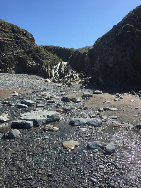
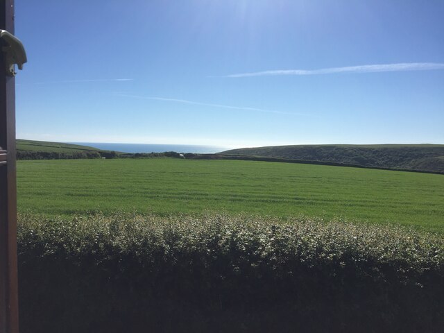
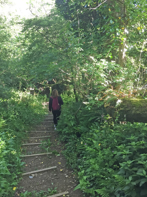
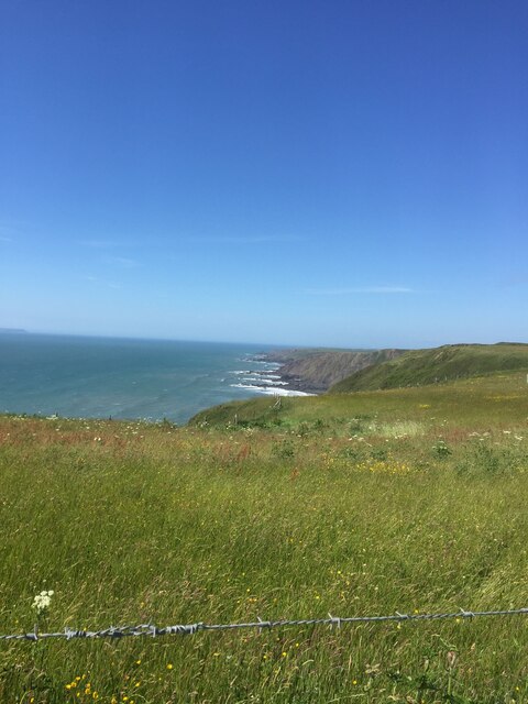
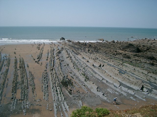
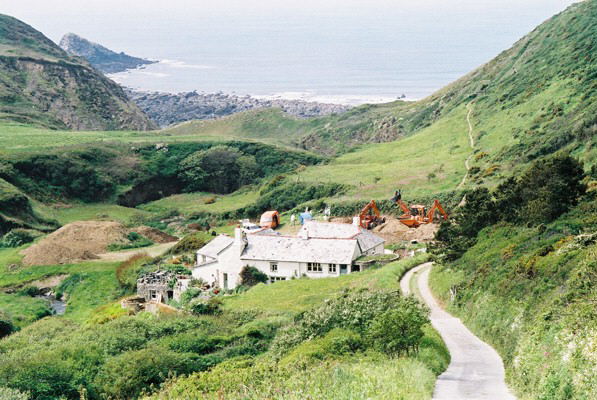
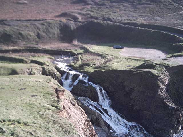
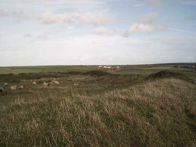
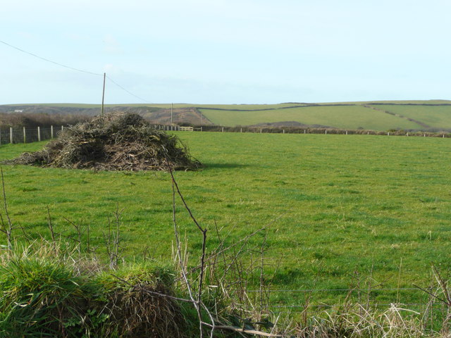
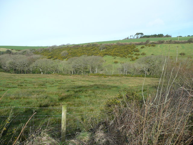
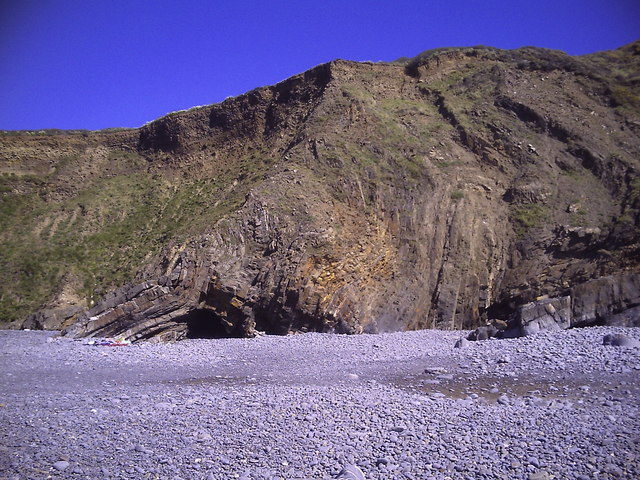
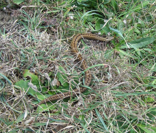
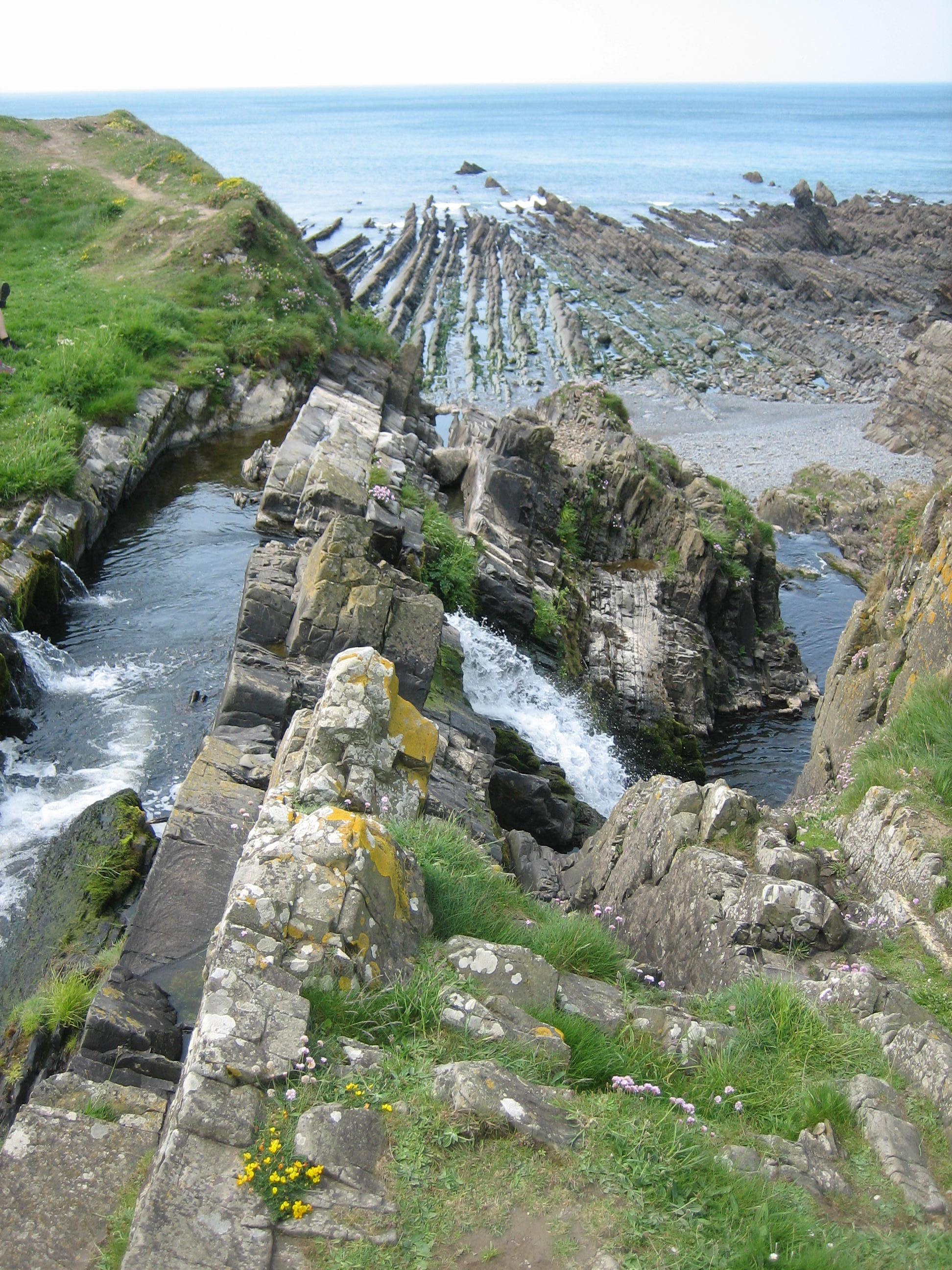
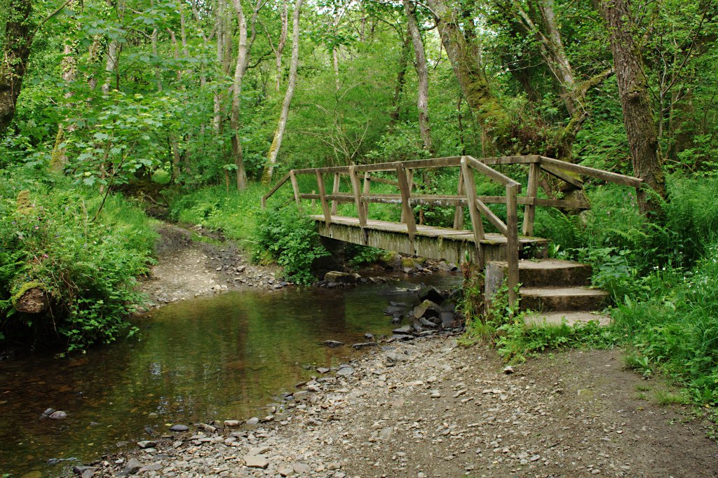
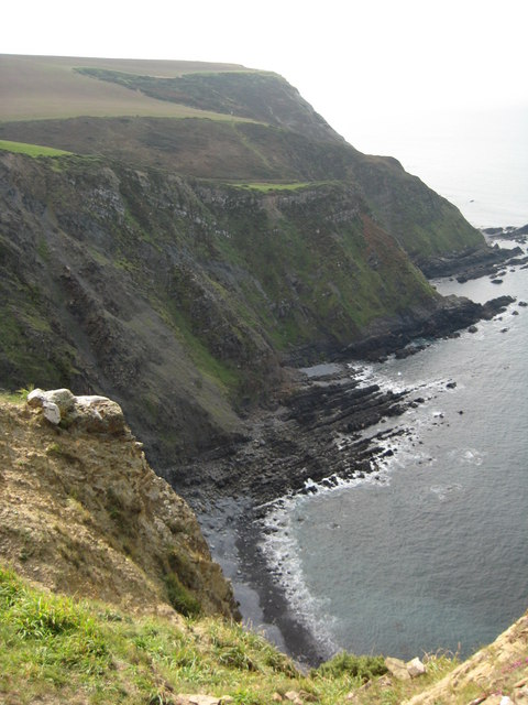
The village is renowned for its beautiful landscape, with rolling hills, lush valleys, and breathtaking views of the Bristol Channel. It is surrounded by picturesque countryside, making it a haven for nature lovers and hikers. The South West Coast Path, which runs through Welcombe, provides visitors with access to stunning coastal walks and secluded beaches.

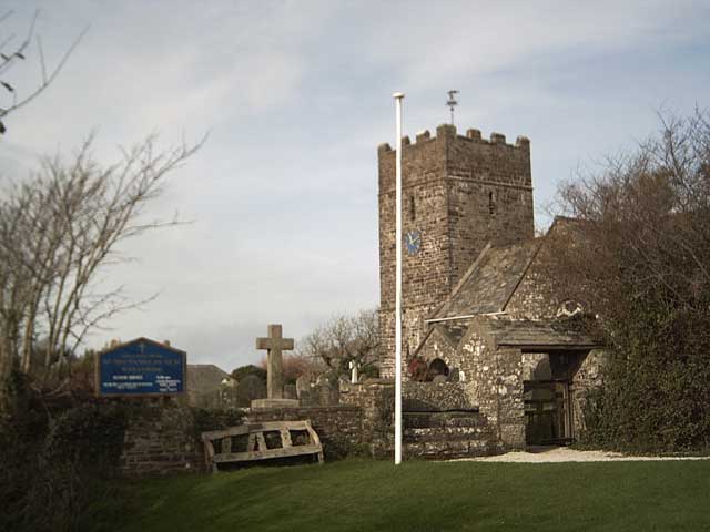
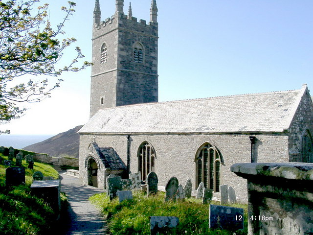
Welcombe is also home to several historic sites that showcase its heritage. The 13th-century St Nectan's Church is a prominent feature, with its beautiful stained glass windows and intricate stone carvings. The church is still active, hosting regular services and events for the local community.

Another notable landmark in Welcombe is the Old Rectory, a Grade II listed building dating back to the 17th century. This well-preserved manor house offers visitors a glimpse into the village's past, with its elegant architecture and stunning gardens.

The village has a close-knit community and a strong sense of local pride. It hosts regular events and festivals, such as the Welcombe Village Fair, where visitors can experience traditional music, food, and crafts.

Welcombe is a hidden gem in Devon, offering visitors a unique blend of history, natural beauty, and community spirit. Whether you're interested in exploring its historic sites, enjoying the stunning countryside, or immersing yourself in the local culture, Welcombe has something to offer everyone.

If you have any feedback on the listing, please let us know in the comments section below.

Welcombe Images

Images are sourced within 2km of 50.944/-4.541 or Grid Reference SS2119. Thanks to Geograph Open Source API. All images are credited.

Welcome Mouth Waterfall
Sea view from holiday cottage in Welcombe
St Nectan's Well, Welcombe
Cut Mark St Nectan's Church, Welcombe <span class="nowrap"><a title="http://www.welcombe.org/church.htm" rel="nofollow ugc noopener" href="http://www.welcombe.org/church.htm">Link</a><img style="margin-left:2px;" alt="External link" title="External link - shift click to open in new window" src="https://s1.geograph.org.uk/img/external.png" width="10" height="10"/></span>

Not on OS DB but shown on old maps.
Cut Mark St Nectan's Church, Welcombe
LinkExternal link Not on OS DB but shown on old maps.
Footpath, Welcombe
Footpath, Welcombe
Views out to sea near South Hole
Welcombe Mouth
Welcombe Mouth
Welcombe: West Mill and Marsland Mouth Almost into Cornwall. West Mill, now a private house, once had two waterwheels in two mill houses, one above the other. The upper waterwheel survives. Construction work is for a private car park to be screened from the South West Coast Path
Welcombe: West Mill and Marsland Mouth
Almost into Cornwall. West Mill, now a private house, once had two waterwheels in two mill houses, one above the other. The upper waterwheel survives. Construction work is for a private car park to be screened from the South West Coast Path
St Nectan's Church, Welcombe
St Nectan's Well, Welcombe Well, one of the wells. There's another St Nectan's Well at Stoke, Hartland <a href="https://www.geograph.org.uk/gridref/SS2324">SS2324</a>
St Nectan's Well, Welcombe
Well, one of the wells. There's another St Nectan's Well at Stoke, Hartland SS2324
Footpath to West Mill This footpath leads to West Mill and to Marsland Mouth on the Devon / Cornwall Border
Footpath to West Mill
This footpath leads to West Mill and to Marsland Mouth on the Devon / Cornwall Border
Ronald Duncan's Hut Apparently Ronald Duncan was a poet and playwright. Just shows my sad lack of education. Any other information will be gratefully received. <span class="nowrap"><a title="www.britannica.com/eb/article-9031462?tocId=9031462" rel="nofollow ugc noopener" href="http://www.britannica.com/eb/article-9031462?tocId=9031462">Link</a><img style="margin-left:2px;" alt="External link" title="External link - shift click to open in new window" src="https://s1.geograph.org.uk/img/external.png" width="10" height="10"/></span>
Ronald Duncan's Hut
Apparently Ronald Duncan was a poet and playwright. Just shows my sad lack of education. Any other information will be gratefully received. LinkExternal link
Waterfalls at Welcombe Mouth Lots of rain recently, so lots of water for the waterfall. You can also see two people on the stepping stones.
Waterfalls at Welcombe Mouth
Lots of rain recently, so lots of water for the waterfall. You can also see two people on the stepping stones.
Embury Beacon An Iron-age promontory fort.
Embury Beacon
An Iron-age promontory fort.
West to Embury Beacon The hill in the distance ends abruptly with 500 ft. cliffs on the far side. From this point the sea is completely obscured.
West to Embury Beacon
The hill in the distance ends abruptly with 500 ft. cliffs on the far side. From this point the sea is completely obscured.
North of Putsole Farm View north over birchwood and gorse to the plantation around Golden Park.
North of Putsole Farm
View north over birchwood and gorse to the plantation around Golden Park.
Folded strata at Welcombe Mouth
An adder below Knap Head This adder (Vipera berus) was basking in the sun on the coast path as I was descending from Knap Head, my footsteps disturbed it, but I was able to photograph it quickly before it disappeared into the vegetation.  I think with its brown colouring this is a female.
An adder below Knap Head
This adder (Vipera berus) was basking in the sun on the coast path as I was descending from Knap Head, my footsteps disturbed it, but I was able to photograph it quickly before it disappeared into the vegetation. I think with its brown colouring this is a female.
Show me another place!

Welcombe is located at Grid Ref: SS2119 (Lat: 50.944, Lng: -4.541)

Administrative County: Devon

District: Torridge

Police Authority: Devon and Cornwall

What 3 Words

///winemaker.noble.interests. Near Flexbury, Cornwall

Related Wikis

St Nectan's Church, Welcombe

St Nectan's Church is the parish church of Welcombe, on the border of Devon and Cornwall. W. G. Hoskins writes "St Nectan's Chapel was one of the many...

Welcombe

Welcombe is a village and civil parish on the coast of north Devon, England, just north of the border with Cornwall. It is part of the district of Torridge...

Gooseham Mill

Gooseham Mill is a hamlet in the parish of Morwenstow, Cornwall, England.The hamlet lies below Gooseham hamlet, in the Marsland valley. The county border...

Marsland Valley

Marsland Valley is a nature reserve situated in two large valleys which straddle the northern end of the Devon-Cornwall border. It is a designated nature...

RFA Green Ranger

RFA Green Ranger was a Ranger-class fleet support tanker of the Royal Fleet Auxiliary. On 24 September 1946, Green Ranger was struck by a torpedo in Portland...

Gooseham

Gooseham (Cornish: Pras an Woodh) is a hamlet in northeast Cornwall, England, United Kingdom. It is situated six miles (11 km) north of Bude and is approximately...

Steeple Point to Marsland Mouth

Steeple Point to Marsland Mouth is a coastal Site of Special Scientific Interest (SSSI) in Cornwall, England, UK, noted for its biological characteristics...

Church of St Morwenna and St John the Baptist, Morwenstow

The Church of St Morwenna and St John the Baptist is the parish church of Morwenstow, north Cornwall, England, United Kingdom, the most northerly parish...

Nearby Amenities

Located within 500m of 50.944,-4.541
Barrier: kissing_gate
Lat/Long: 50.9440235/-4.5415137
Embury Beacon
Archaeological Site: fortification
Historic: archaeological_site
Historic Civilization: iron-age
Wikidata: Q17647498
Lat/Long: 50.9472175/-4.5398555
The data included in this document is from www.openstreetmap.org. The data is made available under ODbL.

Have you been to Welcombe?

Leave your review of Welcombe below (or comments, questions and feedback).