Broad Bench
Coastal Feature, Headland, Point in Devon Torridge
England
Broad Bench
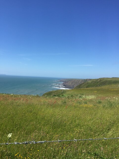
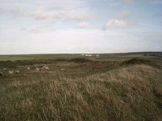
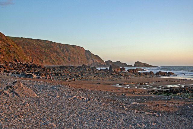
Broad Bench is a prominent coastal feature located in Devon, England. It is classified as a headland and point, jutting out into the English Channel. Situated to the east of Plymouth, it lies between Wembury Bay to the west and Heybrook Bay to the east.
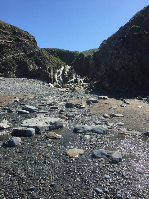
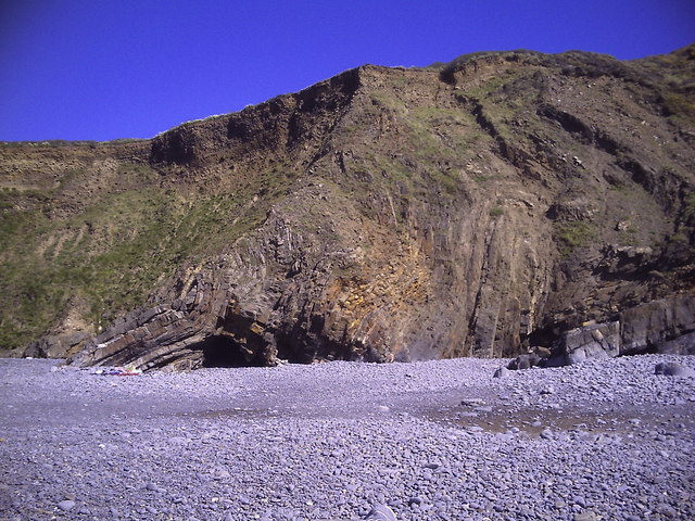
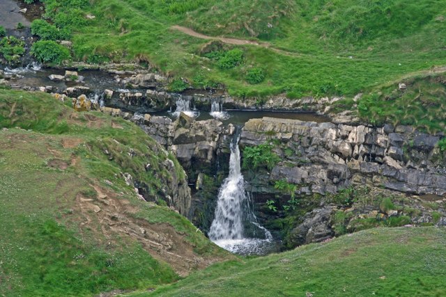
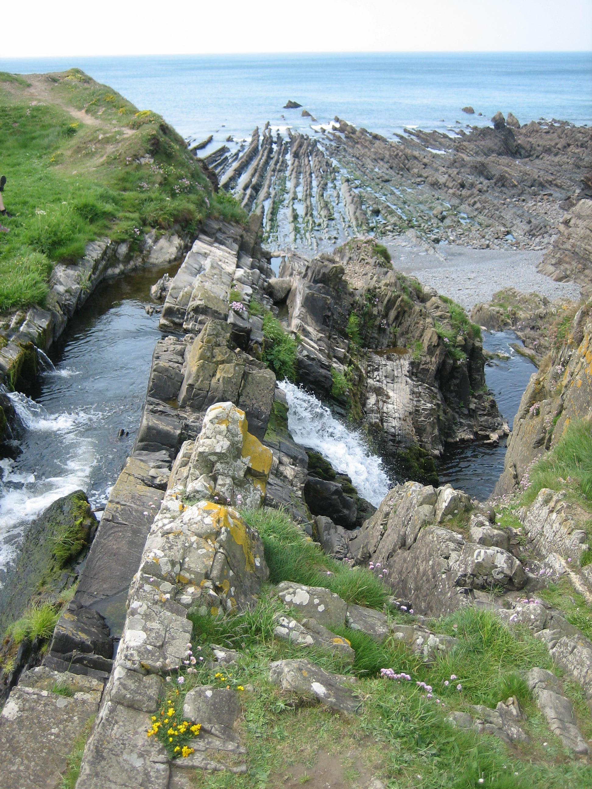
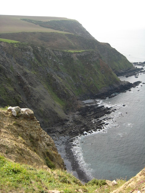
The headland is characterized by its rugged cliffs, which rise steeply from the water's edge. These cliffs are composed of a mixture of sedimentary rocks, including limestone, sandstone, and shale, creating a visually striking landscape. The area is known for its unique geology, with numerous fossils and geological formations found along its shores.
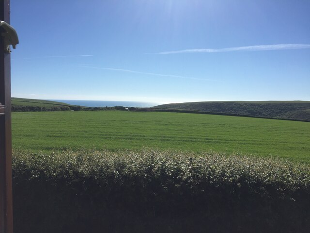
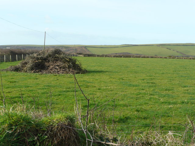
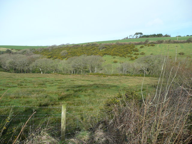
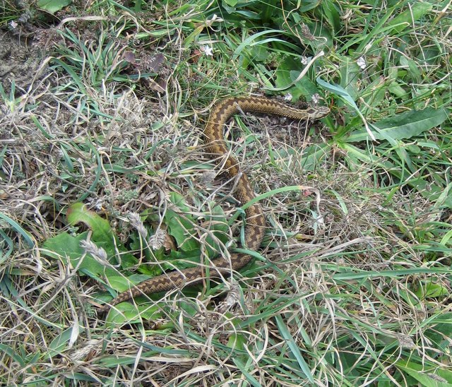
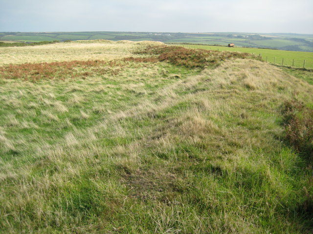
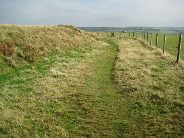
Broad Bench offers breathtaking views of the surrounding coastline and is a popular spot for outdoor enthusiasts and nature lovers. There are several walking trails that traverse the headland, allowing visitors to explore its diverse flora and fauna. The area is home to a range of seabirds, including gulls and cormorants, which can often be seen perched on the cliffs or flying overhead.
The headland is also of historical significance, with remnants of an Iron Age fortification known as Bovisand Fort located on its western side. This fort played a role in defending the coast during the Napoleonic Wars and is now a scheduled monument, attracting history enthusiasts and archaeology buffs.
Overall, Broad Bench is a captivating coastal feature that offers a blend of natural beauty, geological wonders, and historical intrigue. Its stunning cliffs, diverse wildlife, and rich history make it a must-visit destination for anyone exploring the Devon coastline.
If you have any feedback on the listing, please let us know in the comments section below.
Broad Bench Images
Images are sourced within 2km of 50.947444/-4.5436752 or Grid Reference SS2119. Thanks to Geograph Open Source API. All images are credited.

Broad Bench is located at Grid Ref: SS2119 (Lat: 50.947444, Lng: -4.5436752)
Administrative County: Devon
District: Torridge
Police Authority: Devon and Cornwall
What 3 Words
///blurts.suspends.canal. Near Flexbury, Cornwall
Nearby Locations
Related Wikis

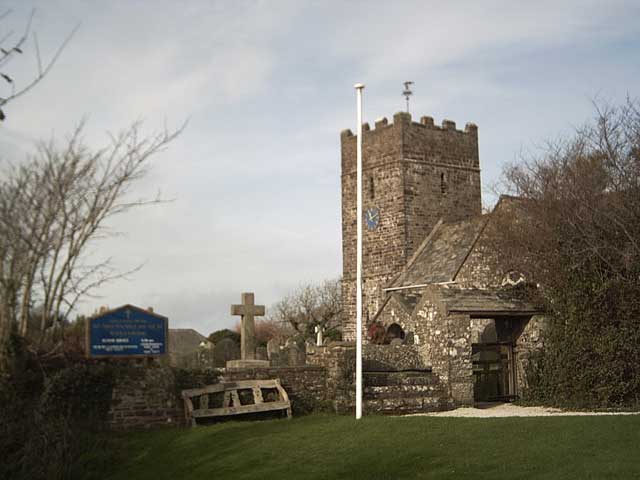
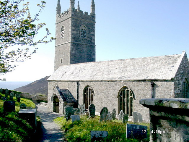
St Nectan's Church, Welcombe
St Nectan's Church is the parish church of Welcombe, on the border of Devon and Cornwall. W. G. Hoskins writes "St Nectan's Chapel was one of the many...
Welcombe
Welcombe is a village and civil parish on the coast of north Devon, England, just north of the border with Cornwall. It is part of the district of Torridge...

RFA Green Ranger
RFA Green Ranger was a Ranger-class fleet support tanker of the Royal Fleet Auxiliary. On 24 September 1946, Green Ranger was struck by a torpedo in Portland...

Gooseham Mill
Gooseham Mill is a hamlet in the parish of Morwenstow, Cornwall, England.The hamlet lies below Gooseham hamlet, in the Marsland valley. The county border...
Marsland Valley
Marsland Valley is a nature reserve situated in two large valleys which straddle the northern end of the Devon-Cornwall border. It is a designated nature...

Gooseham
Gooseham (Cornish: Pras an Woodh) is a hamlet in northeast Cornwall, England, United Kingdom. It is situated six miles (11 km) north of Bude and is approximately...
Steeple Point to Marsland Mouth
Steeple Point to Marsland Mouth is a coastal Site of Special Scientific Interest (SSSI) in Cornwall, England, UK, noted for its biological characteristics...
Church of St Morwenna and St John the Baptist, Morwenstow
The Church of St Morwenna and St John the Baptist is the parish church of Morwenstow, north Cornwall, England, United Kingdom, the most northerly parish...
Nearby Amenities
Located within 500m of 50.947444,-4.5436752Have you been to Broad Bench?
Leave your review of Broad Bench below (or comments, questions and feedback).