Ramtor Rock
Island in Devon Torridge
England
Ramtor Rock
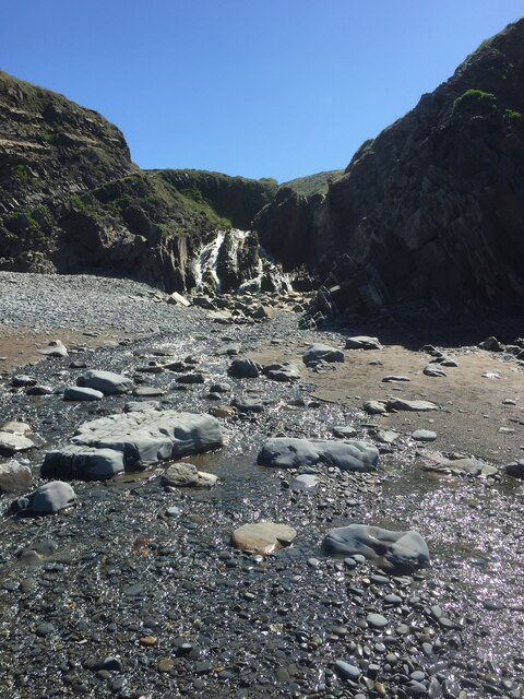
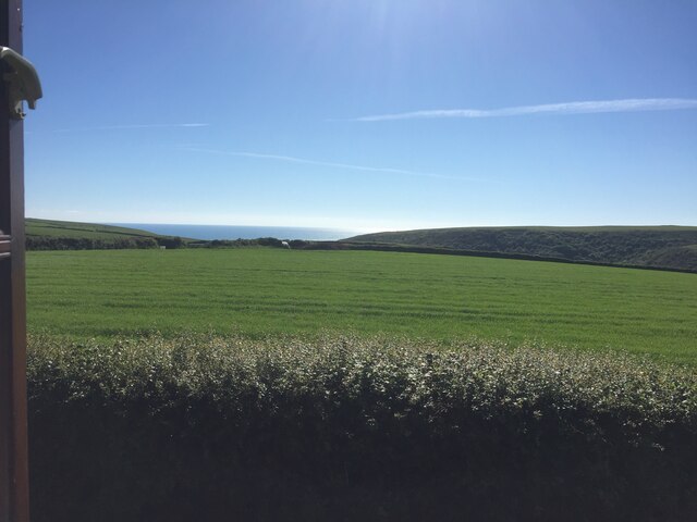
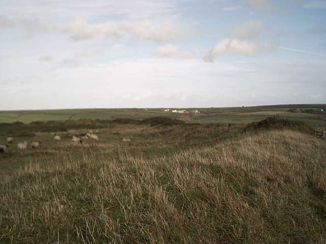
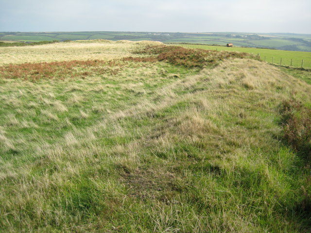
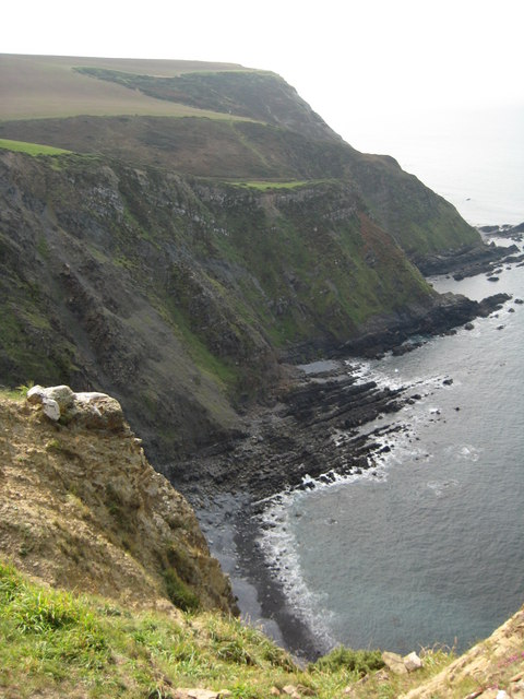
Ramtor Rock is a small uninhabited island located off the coast of Devon, England. Situated in the English Channel, it is part of the county of Devon and is approximately 2 miles off the coast of Torbay. The island is known for its unique geological formation and its rich wildlife.
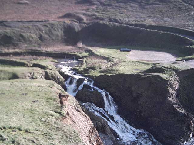
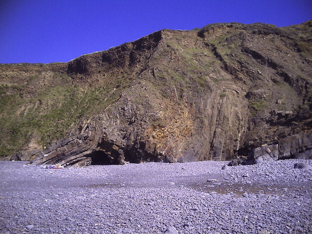
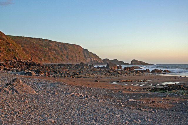
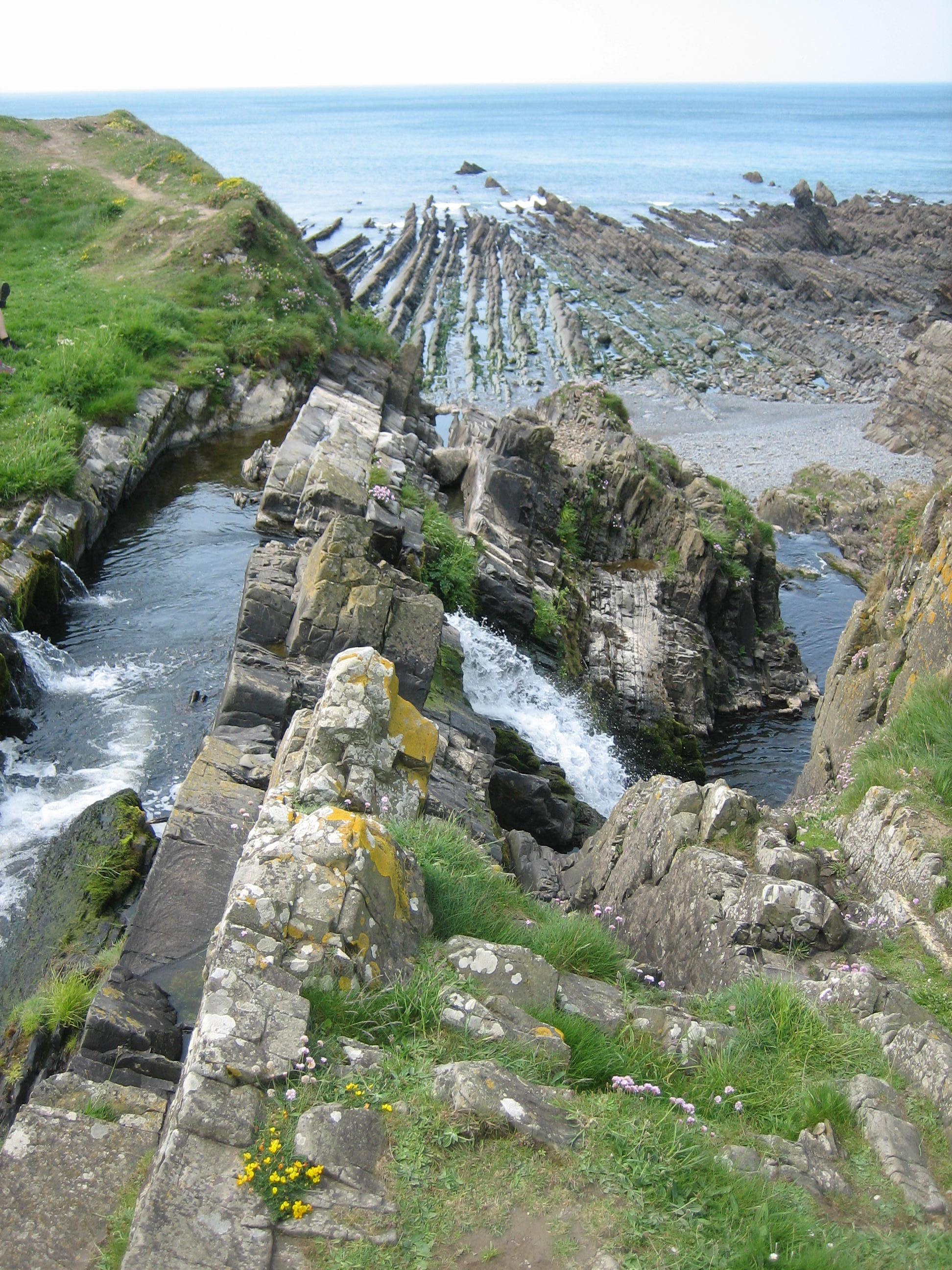
Ramtor Rock is characterized by its towering cliffs, which reach a height of around 300 feet. These sheer cliffs are made up of layers of sedimentary rock, showcasing an array of colors and textures. The island's geology is of great interest to geologists and attracts many visitors with its fascinating rock formations.
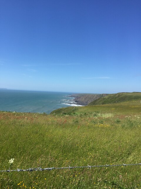
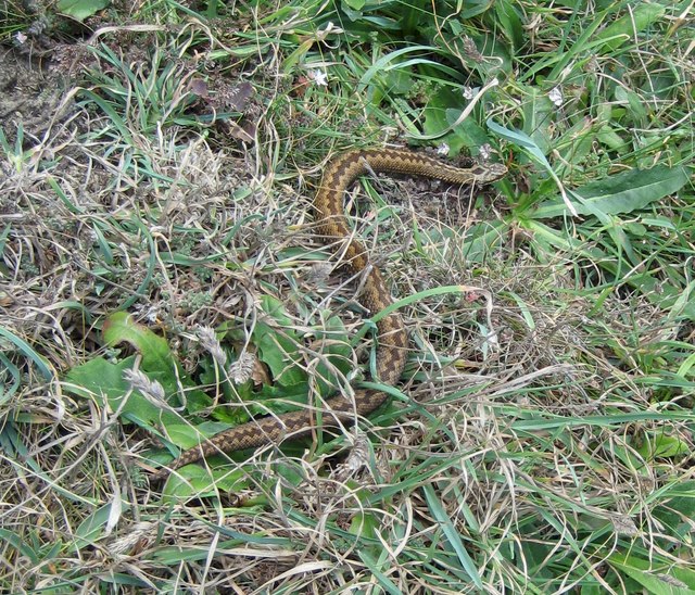
The island is also home to a diverse range of plant and animal species. The cliffs provide nesting sites for various seabirds, including guillemots, razorbills, and kittiwakes. The surrounding waters are teeming with marine life, and seals can often be spotted basking on the rocks.
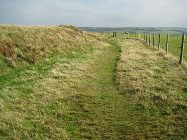
Due to its remote location and lack of facilities, Ramtor Rock is not accessible to the general public. However, it is a popular destination for birdwatchers, geologists, and nature enthusiasts who can view the island from boat trips or nearby cliffs.
Ramtor Rock is an important site for research and conservation efforts, as it provides a habitat for rare and endangered species. The island's isolation and untouched nature make it a valuable natural resource and a significant part of Devon's coastal ecosystem.
If you have any feedback on the listing, please let us know in the comments section below.
Ramtor Rock Images
Images are sourced within 2km of 50.949949/-4.5430574 or Grid Reference SS2119. Thanks to Geograph Open Source API. All images are credited.


Ramtor Rock is located at Grid Ref: SS2119 (Lat: 50.949949, Lng: -4.5430574)
Administrative County: Devon
District: Torridge
Police Authority: Devon and Cornwall
What 3 Words
///certainly.ambient.plotted. Near Flexbury, Cornwall
Nearby Locations
Related Wikis

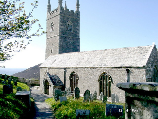
St Nectan's Church, Welcombe
St Nectan's Church is the parish church of Welcombe, on the border of Devon and Cornwall. W. G. Hoskins writes "St Nectan's Chapel was one of the many...

RFA Green Ranger
RFA Green Ranger was a Ranger-class fleet support tanker of the Royal Fleet Auxiliary. On 24 September 1946, Green Ranger was struck by a torpedo in Portland...
Welcombe
Welcombe is a village and civil parish on the coast of north Devon, England, just north of the border with Cornwall. It is part of the district of Torridge...

Gooseham Mill
Gooseham Mill is a hamlet in the parish of Morwenstow, Cornwall, England.The hamlet lies below Gooseham hamlet, in the Marsland valley. The county border...
Marsland Valley
Marsland Valley is a nature reserve situated in two large valleys which straddle the northern end of the Devon-Cornwall border. It is a designated nature...

Gooseham
Gooseham (Cornish: Pras an Woodh) is a hamlet in northeast Cornwall, England, United Kingdom. It is situated six miles (11 km) north of Bude and is approximately...
Steeple Point to Marsland Mouth
Steeple Point to Marsland Mouth is a coastal Site of Special Scientific Interest (SSSI) in Cornwall, England, UK, noted for its biological characteristics...
Church of St Morwenna and St John the Baptist, Morwenstow
The Church of St Morwenna and St John the Baptist is the parish church of Morwenstow, north Cornwall, England, United Kingdom, the most northerly parish...
Nearby Amenities
Located within 500m of 50.949949,-4.5430574Have you been to Ramtor Rock?
Leave your review of Ramtor Rock below (or comments, questions and feedback).