Embury Beach
Beach in Devon Torridge
England
Embury Beach
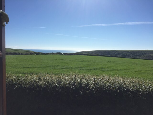
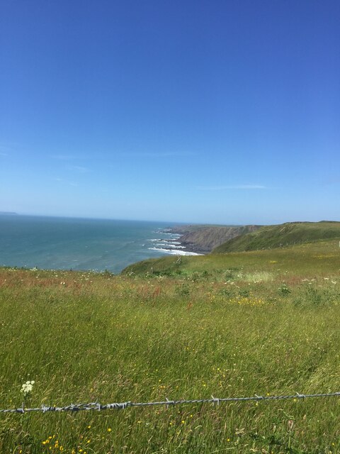
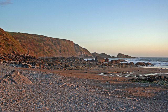
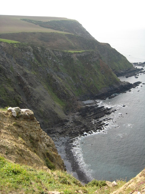
Embury Beach, located in Devon, England, is a charming coastal destination that offers a picturesque setting and a tranquil atmosphere. This beautiful beach is situated along the South West Coast Path, making it easily accessible to visitors who enjoy hiking and exploring the stunning coastline.
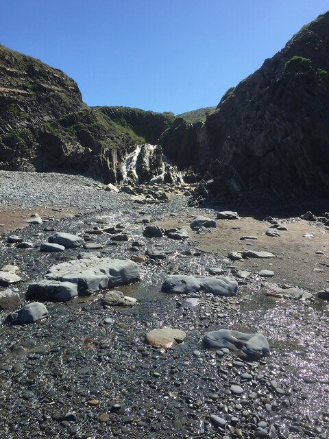
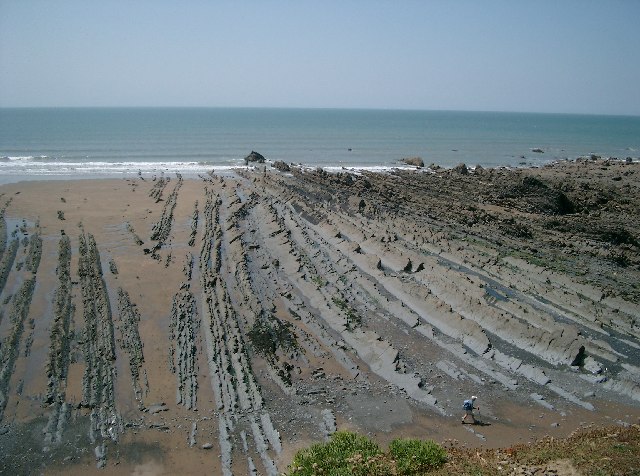
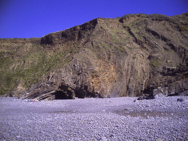
The beach itself is a mix of sand and pebbles, providing a diverse landscape for beachgoers. At low tide, the expansive sandy stretches become exposed, offering ample space for sunbathing, beach games, and picnics. The gently sloping shoreline makes it an ideal spot for swimming and paddling, particularly for families with young children.
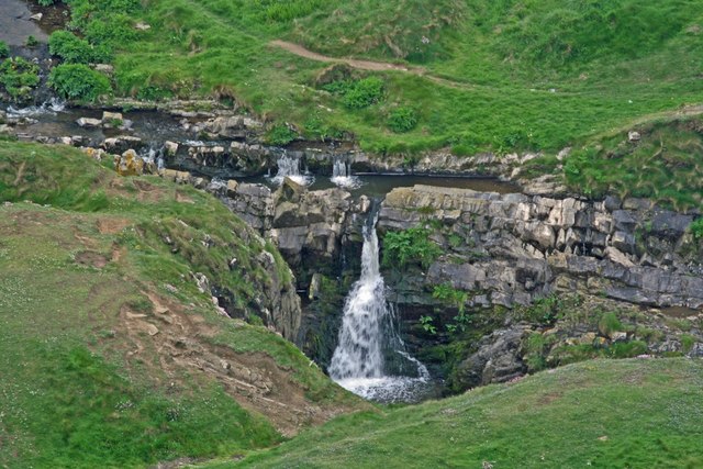
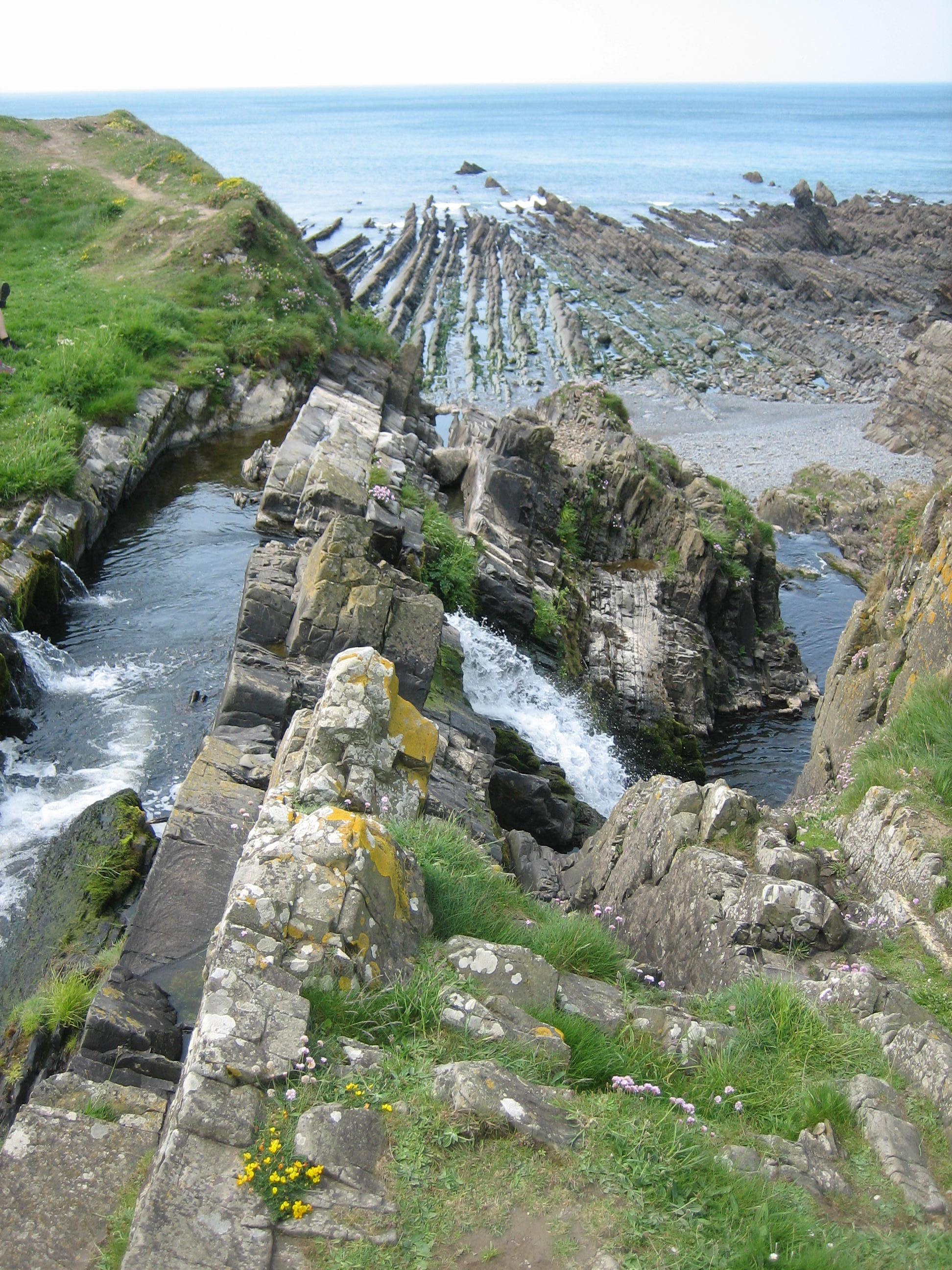
Embury Beach boasts breathtaking views of the surrounding cliffs and the sparkling turquoise waters of the English Channel. It is not uncommon to spot marine wildlife, such as seals and various seabirds, adding to the area's natural charm.
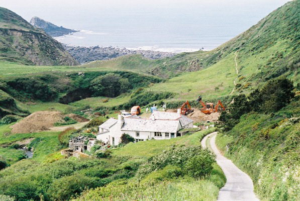
Facilities at Embury Beach are limited, which contributes to its peaceful and unspoiled ambiance. There are no lifeguards on duty, so caution is advised when swimming. However, the beach is equipped with public toilets and there is ample parking available nearby.
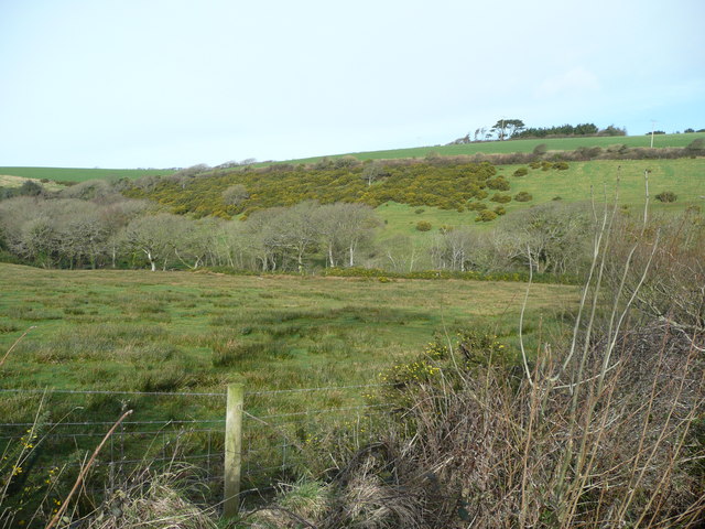
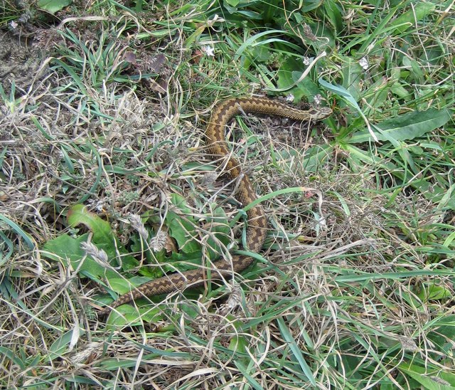
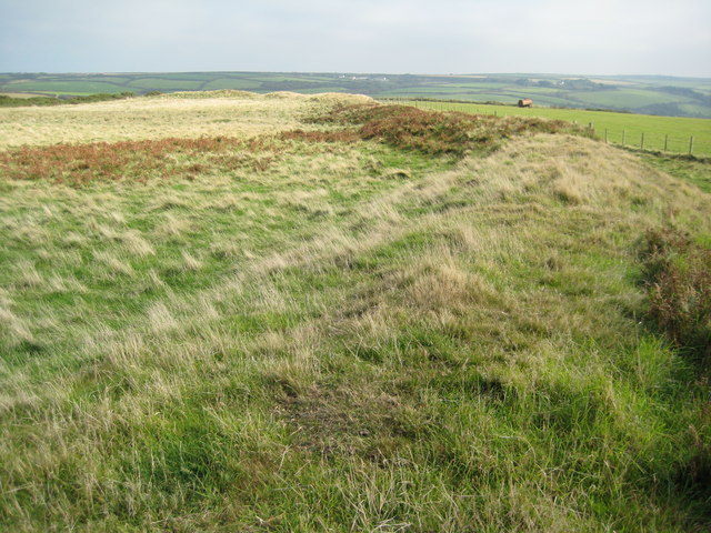
Nature enthusiasts will appreciate the diverse flora and fauna found along the shoreline and the nearby cliffs. The area is renowned for its wildflowers and is a haven for birdwatchers, with numerous species making their home in the surrounding cliffs and dunes.
Embury Beach offers a serene and scenic escape from the hustle and bustle of everyday life, making it a popular destination for both locals and tourists seeking a peaceful day by the sea.
If you have any feedback on the listing, please let us know in the comments section below.
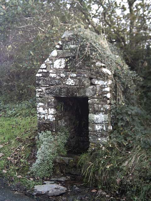
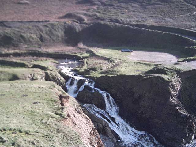
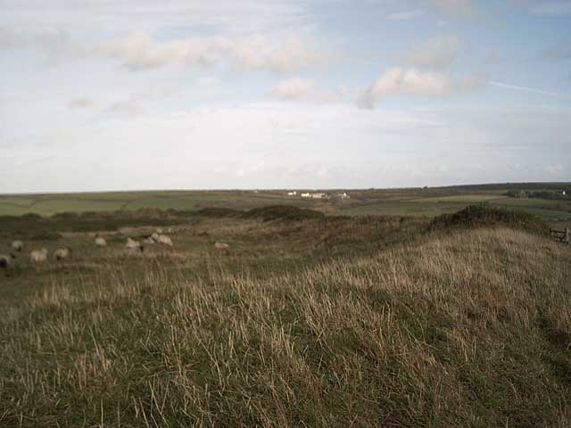
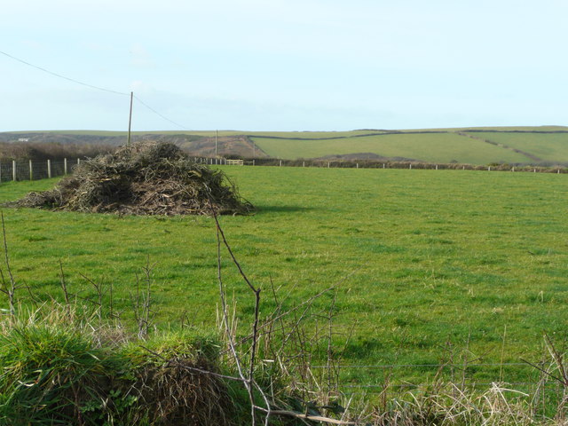
Embury Beach Images
Images are sourced within 2km of 50.947145/-4.5425342 or Grid Reference SS2119. Thanks to Geograph Open Source API. All images are credited.
Embury Beach is located at Grid Ref: SS2119 (Lat: 50.947145, Lng: -4.5425342)
Administrative County: Devon
District: Torridge
Police Authority: Devon and Cornwall
What 3 Words
///motive.caged.youth. Near Flexbury, Cornwall
Nearby Locations
Related Wikis

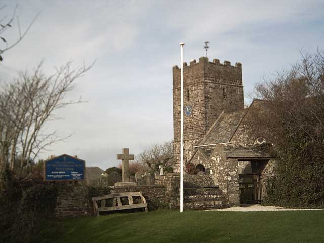
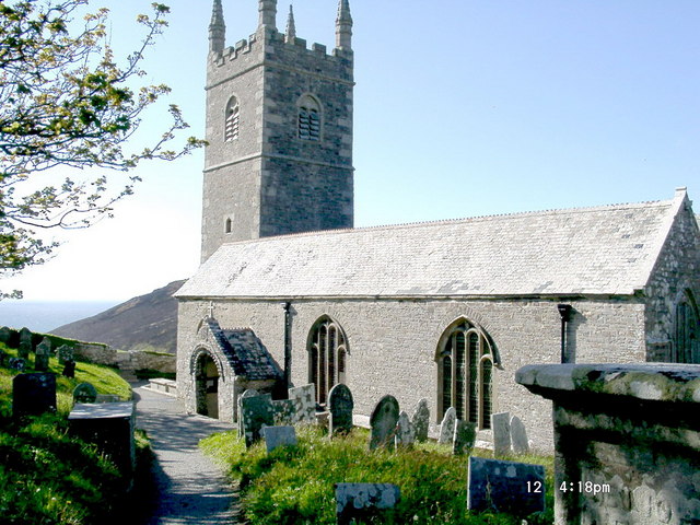
St Nectan's Church, Welcombe
St Nectan's Church is the parish church of Welcombe, on the border of Devon and Cornwall. W. G. Hoskins writes "St Nectan's Chapel was one of the many...
Welcombe
Welcombe is a village and civil parish on the coast of north Devon, England, just north of the border with Cornwall. It is part of the district of Torridge...

RFA Green Ranger
RFA Green Ranger was a Ranger-class fleet support tanker of the Royal Fleet Auxiliary. On 24 September 1946, Green Ranger was struck by a torpedo in Portland...

Gooseham Mill
Gooseham Mill is a hamlet in the parish of Morwenstow, Cornwall, England.The hamlet lies below Gooseham hamlet, in the Marsland valley. The county border...
Marsland Valley
Marsland Valley is a nature reserve situated in two large valleys which straddle the northern end of the Devon-Cornwall border. It is a designated nature...

Gooseham
Gooseham (Cornish: Pras an Woodh) is a hamlet in northeast Cornwall, England, United Kingdom. It is situated six miles (11 km) north of Bude and is approximately...
Steeple Point to Marsland Mouth
Steeple Point to Marsland Mouth is a coastal Site of Special Scientific Interest (SSSI) in Cornwall, England, UK, noted for its biological characteristics...
Church of St Morwenna and St John the Baptist, Morwenstow
The Church of St Morwenna and St John the Baptist is the parish church of Morwenstow, north Cornwall, England, United Kingdom, the most northerly parish...
Nearby Amenities
Located within 500m of 50.947145,-4.5425342Have you been to Embury Beach?
Leave your review of Embury Beach below (or comments, questions and feedback).