Mol Ban Beag
Beach in Sutherland
Scotland
Mol Ban Beag

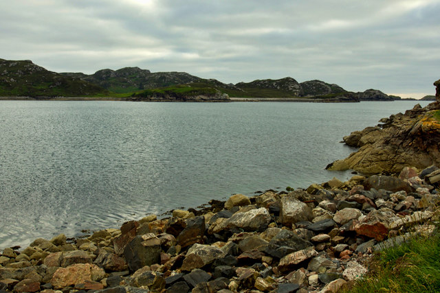
Mol Ban Beag, also known as Beach Mol Ban Beag, is a picturesque beach located in the remote and stunning region of Sutherland in the Scottish Highlands. Situated on the northwestern coast of Scotland, this beach offers visitors a serene and unspoiled natural setting.
With its pristine white sand and clear turquoise waters, Mol Ban Beag boasts breathtaking views that are sure to leave visitors in awe. The beach stretches for approximately 2 kilometers and is backed by rolling dunes and the rugged hills of the surrounding area. The beach is accessible via a short walk from the nearby village of Durness.
Mol Ban Beag is known for its tranquility and peacefulness, making it an ideal spot for relaxation and reflection. The beach offers visitors the opportunity to take leisurely walks along the shore, explore the rock pools teeming with marine life, or simply soak up the sun on the sandy beach.
The beach is also popular among wildlife enthusiasts, as it is home to a variety of seabirds and marine animals. Visitors may spot species such as guillemots, puffins, seals, and even dolphins if they are lucky. The beach's remote location and lack of light pollution also make it a great spot for stargazing on clear nights.
Overall, Mol Ban Beag is a hidden gem in the Scottish Highlands, offering visitors a chance to escape the hustle and bustle of everyday life and immerse themselves in the peaceful beauty of nature.
If you have any feedback on the listing, please let us know in the comments section below.
Mol Ban Beag Images
Images are sourced within 2km of 58.451802/-5.0605371 or Grid Reference NC2155. Thanks to Geograph Open Source API. All images are credited.


Mol Ban Beag is located at Grid Ref: NC2155 (Lat: 58.451802, Lng: -5.0605371)
Unitary Authority: Highland
Police Authority: Highlands and Islands
What 3 Words
///backers.inefficient.shipped. Near Oldshoremore, Highland
Nearby Locations
Related Wikis
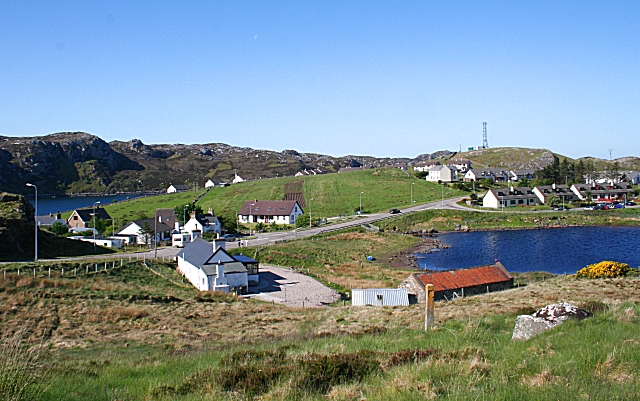
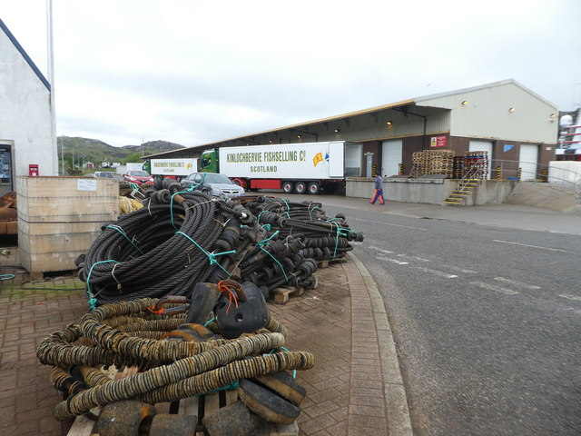
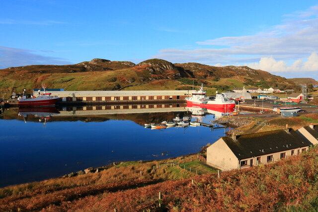
Kinlochbervie
Kinlochbervie (Scottish Gaelic: Ceann Loch Biorbhaidh, IPA: [ˈkʲʰaun̪ˠˈɫ̪ɔxˈpiɾivɪ]) is a scattered harbour village in the north west of Sutherland, in...

Kinlochbervie High School
Kinlochbervie High School (Scottish Gaelic: Ard Sgoil Cheann Loch Biorbhaidh) is a secondary school in Kinlochbervie, in the county of Sutherland in the...

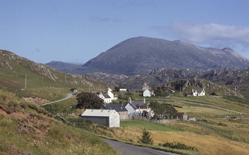
Badcall, Rhiconich
Badcall is a remote crofting township, located on the northern shore of the sea loch, Loch Inchard, in Sutherland, Scottish Highlands and is in the Scottish...

Oldshoremore
Oldshoremore is a scattered crofting hamlet in the Eddrachillis parish of Sutherland, Scotland. It incorporates around twenty houses, though several of...
Oldshore Beg
Oldshore Beg is a remote crofting township, in western Sutherland, Scottish Highlands and is in the Scottish council area of Highland.The hamlets of Balchrick...
Inshegra
Inshegra is a small crofting village, located two miles south east of Badcall and lies at the south east coast of Loch Inchard, in Lairg, Sutherland,...
Achriesgill
Achriesgill (Scottish Gaelic: Achadh Rìdhisgil) is a village that lies on the eastern bank of Loch Inchard in Lairg, Sutherland, in the Scottish council...
Blairmore, Sutherland
Blairmore is a small remote crofting hamlet, on the north west coast of Lairg in Sutherland, Scottish Highlands and is in the Scottish council area of...
Nearby Amenities
Located within 500m of 58.451802,-5.0605371Have you been to Mol Ban Beag?
Leave your review of Mol Ban Beag below (or comments, questions and feedback).