Boydston Shore
Beach in Ayrshire
Scotland
Boydston Shore

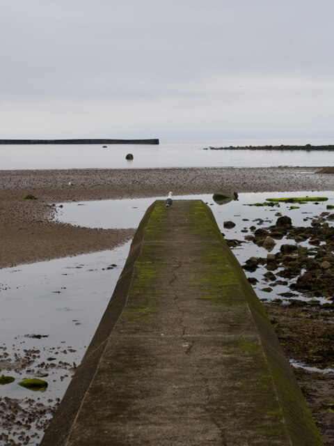
Boydston Shore is a picturesque beach located in Ayrshire, Scotland. Situated on the western coast, it stretches along the Firth of Clyde, offering stunning views of the surrounding landscape. The beach is known for its tranquil atmosphere and unspoiled natural beauty.
With its golden sands and clear blue waters, Boydston Shore is a popular destination for locals and tourists alike. The beach is relatively secluded, providing a peaceful retreat away from the hustle and bustle of city life. Its remote location allows visitors to enjoy a sense of solitude and tranquility, perfect for those looking to relax and unwind.
Boydston Shore is also a haven for nature enthusiasts and wildlife lovers. The beach is home to a diverse range of flora and fauna, making it a great spot for birdwatching and exploring the local ecosystem. Visitors may catch a glimpse of various species of seabirds, including gulls, terns, and cormorants.
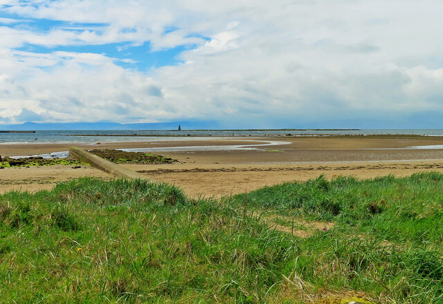
The beach offers ample opportunities for outdoor activities such as walking, jogging, and picnicking. The expansive shoreline provides plenty of space for visitors to enjoy leisurely strolls or engage in beach sports like volleyball and frisbee. The calm waters of the Firth of Clyde are also suitable for swimming, kayaking, and paddleboarding.
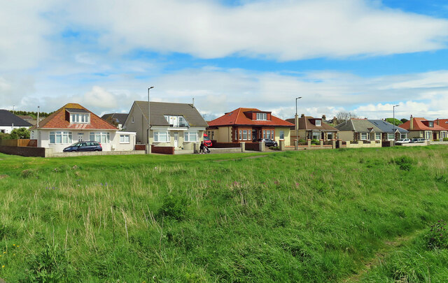
Facilities at Boydston Shore are limited, with no cafes or shops nearby, which adds to its unspoiled charm. Visitors are advised to bring their own food and drinks, as well as any necessary beach essentials. Parking is available nearby, and access to the beach is relatively easy.
All in all, Boydston Shore offers a serene and idyllic coastal experience, making it a must-visit destination for nature lovers and those seeking a peaceful beach getaway in Ayrshire.
If you have any feedback on the listing, please let us know in the comments section below.
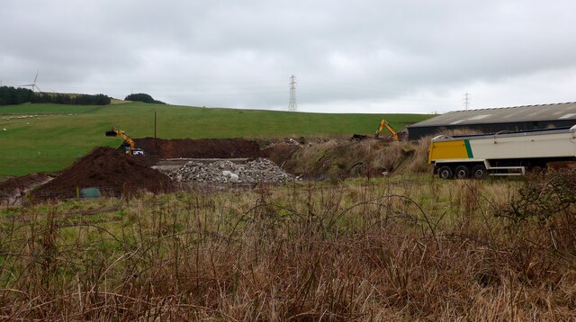
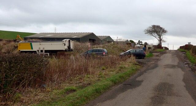
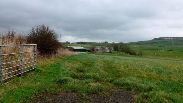
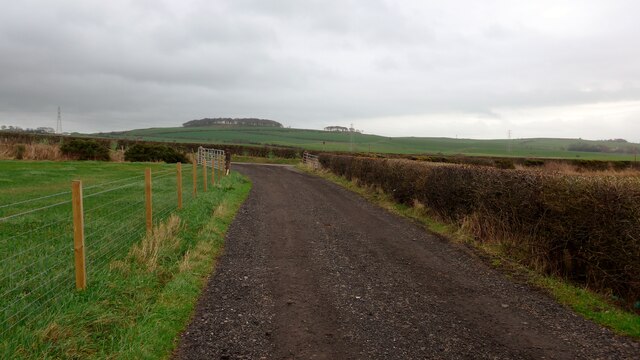
Boydston Shore Images
Images are sourced within 2km of 55.661833/-4.8358579 or Grid Reference NS2144. Thanks to Geograph Open Source API. All images are credited.


Boydston Shore is located at Grid Ref: NS2144 (Lat: 55.661833, Lng: -4.8358579)
Unitary Authority: North Ayrshire
Police Authority: Ayrshire
What 3 Words
///wipes.umbrella.spectacle. Near Ardrossan, North Ayrshire
Nearby Locations
Related Wikis

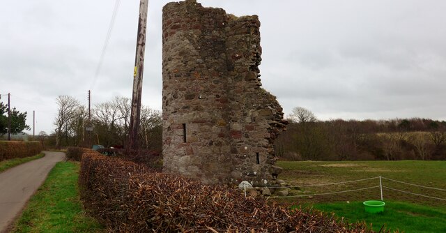
Montfode Castle
The remains of the old castle of Montfode or Monfode lie to the north-west of the town of Ardrossan and 1.5 miles (2.4 km) south-west of West Kilbride...

Horse Isle
Horse Isle (Scottish Gaelic: Eilean nan Each) is an uninhabited island located in the Firth of Clyde, Scotland near the seaside town of Ardrossan. It is...
Ardrossan North railway station
Ardrossan North railway station was a railway station serving the town of Ardrossan, North Ayrshire, Scotland as part of the Lanarkshire and Ayrshire Railway...

Ardrossan Montgomerie Pier railway station
Ardrossan Montgomerie Pier railway station was a railway station serving the town of Ardrossan, North Ayrshire, Scotland as part of the Lanarkshire and...

Ardrossan Winton Pier railway station
Ardrossan Winton Pier railway station served the town of Ardrossan and its harbour, North Ayrshire, Scotland. The station allowed train passengers to link...

Ardrossan Civic Centre
Ardrossan Civic Centre is a municipal building in Glasgow Street, Ardrossan, North Ayrshire, Scotland. The building, which is largely used as a community...

Ardrossan
Ardrossan (; from Scottish Gaelic Àird Rosain 'headland of the small promontory') is a town on the North Ayrshire coast in southwestern Scotland. The...

Ardrossan Harbour railway station
Ardrossan Harbour railway station is one of three remaining railway stations in the town of Ardrossan, North Ayrshire, Scotland. The station is managed...
Nearby Amenities
Located within 500m of 55.661833,-4.8358579Have you been to Boydston Shore?
Leave your review of Boydston Shore below (or comments, questions and feedback).