Carn Ruadh
Coastal Feature, Headland, Point in Sutherland
Scotland
Carn Ruadh

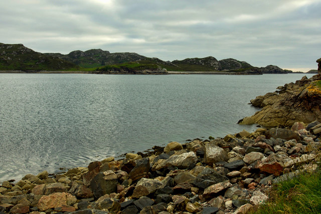
Carn Ruadh is a prominent coastal feature located in Sutherland, Scotland. It is specifically classified as a headland or point, jutting out into the North Atlantic Ocean. The name "Carn Ruadh" translates to "red cairn" in English, referencing the reddish color of the rock formations found in the area.
Situated in the remote and rugged landscape of the northwestern Scottish Highlands, Carn Ruadh offers breathtaking views of the surrounding coastline and the vast ocean beyond. The headland is characterized by steep cliffs that drop dramatically into the sea, reaching heights of up to 100 meters in some places.
The geology of Carn Ruadh is primarily composed of Torridonian sandstone, which gives the headland its distinctive red hue. Erosion over thousands of years has shaped the cliffs into various formations, including sea stacks and caves. These features attract a variety of seabirds, making Carn Ruadh a popular spot for birdwatching enthusiasts.
The headland is also a significant historical site, with evidence of human habitation dating back thousands of years. Archaeological remains, including Iron Age structures and Viking artifacts, have been discovered in the vicinity of Carn Ruadh. These findings provide valuable insights into the region's ancient past and contribute to its cultural significance.
Access to Carn Ruadh is possible via a coastal path that offers visitors the opportunity to explore the headland's natural beauty and enjoy its panoramic vistas. The area is known for its wild and untamed character, attracting outdoor enthusiasts seeking adventure and solitude in the picturesque Scottish countryside.
If you have any feedback on the listing, please let us know in the comments section below.
Carn Ruadh Images
Images are sourced within 2km of 58.455583/-5.0572479 or Grid Reference NC2155. Thanks to Geograph Open Source API. All images are credited.


Carn Ruadh is located at Grid Ref: NC2155 (Lat: 58.455583, Lng: -5.0572479)
Unitary Authority: Highland
Police Authority: Highlands and Islands
What 3 Words
///hometown.cleanest.chest. Near Oldshoremore, Highland
Nearby Locations
Related Wikis
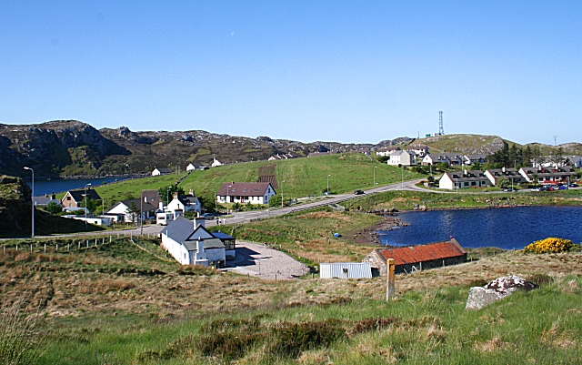
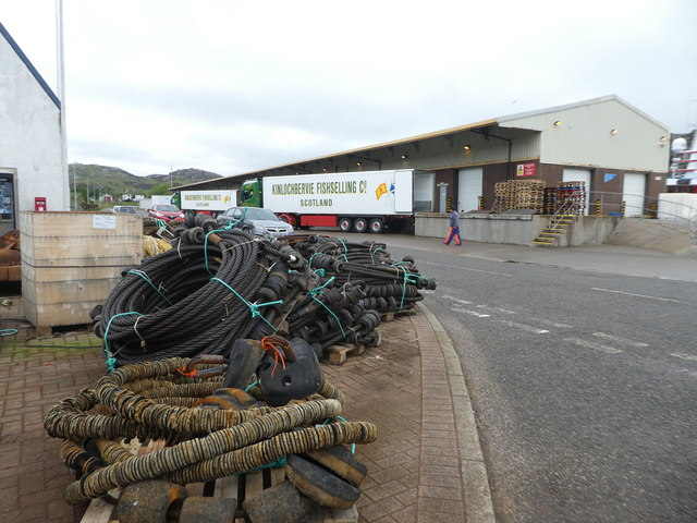
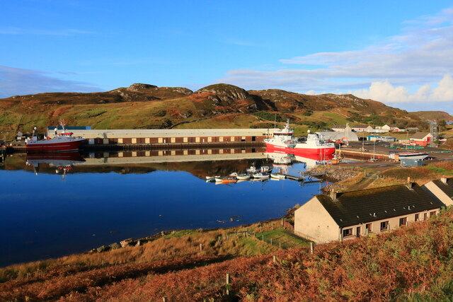
Kinlochbervie
Kinlochbervie (Scottish Gaelic: Ceann Loch Biorbhaidh, IPA: [ˈkʲʰaun̪ˠˈɫ̪ɔxˈpiɾivɪ]) is a scattered harbour village in the north west of Sutherland, in...

Kinlochbervie High School
Kinlochbervie High School (Scottish Gaelic: Ard Sgoil Cheann Loch Biorbhaidh) is a secondary school in Kinlochbervie, in the county of Sutherland in the...

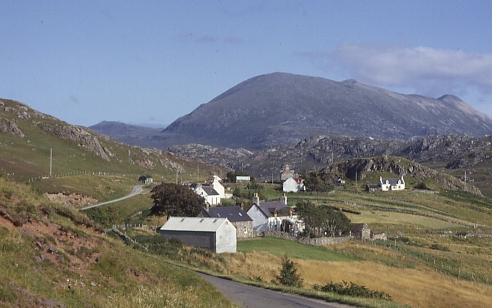
Badcall, Rhiconich
Badcall is a remote crofting township, located on the northern shore of the sea loch, Loch Inchard, in Sutherland, Scottish Highlands and is in the Scottish...

Oldshoremore
Oldshoremore is a scattered crofting hamlet in the Eddrachillis parish of Sutherland, Scotland. It incorporates around twenty houses, though several of...
Oldshore Beg
Oldshore Beg is a remote crofting township, in western Sutherland, Scottish Highlands and is in the Scottish council area of Highland.The hamlets of Balchrick...
Inshegra
Inshegra is a small crofting village, located two miles south east of Badcall and lies at the south east coast of Loch Inchard, in Lairg, Sutherland,...
Achriesgill
Achriesgill (Scottish Gaelic: Achadh Rìdhisgil) is a village that lies on the eastern bank of Loch Inchard in Lairg, Sutherland, in the Scottish council...
Blairmore, Sutherland
Blairmore is a small remote crofting hamlet, on the north west coast of Lairg in Sutherland, Scottish Highlands and is in the Scottish council area of...
Related Videos

FOINAVEN (Foinne Bheinn)- Aerial Footage- Hill Walking Scotland.
A hike up one of Scotland's finest mountains. Foinne Bheinn (Foinaven) means wart mountain in Scots Gaelic. This 12 mile hike ...
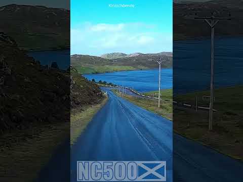
Amazing Views Around Every Corner on the NC500
Around Every Corner Kinlochbervie Amazing Scotland NC500 For more Touring Scotland in a motorhome NC500 visit ...
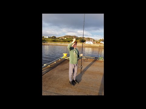
Fishing Lochinchard plus holiday accomodation Lochinchard holiday cottages
Holiday footage from Lochinchard and also a lookaround in our accomodation. Kinlochbervie is a place in the highlands in ...

Cooling off on the Cape Wrath Trail
After 5 and half days of tough walking on the northern section of the Cape Wrath Trail our group couldn't resist the temptation of a ...
Nearby Amenities
Located within 500m of 58.455583,-5.0572479Have you been to Carn Ruadh?
Leave your review of Carn Ruadh below (or comments, questions and feedback).