Broadbench Cove
Sea, Estuary, Creek in Devon Torridge
England
Broadbench Cove
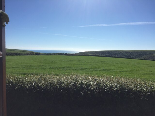
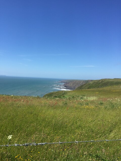
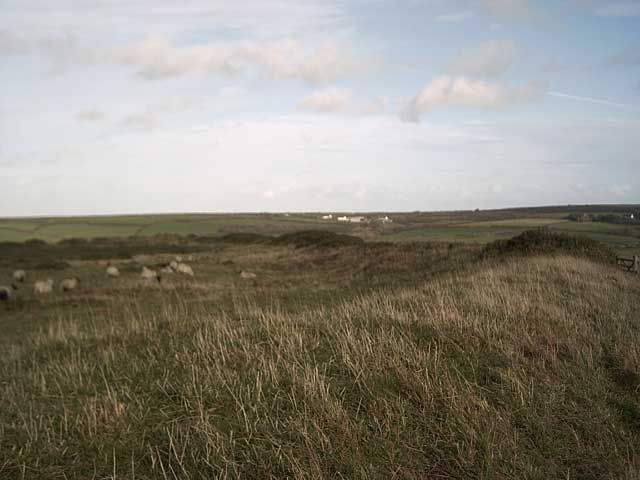
Broadbench Cove is a picturesque coastal area located in the county of Devon, England. Situated on the southern coast, it encompasses a diverse range of natural features, including a sea, estuary, and creek. This combination creates a unique and captivating landscape that attracts both locals and tourists alike.
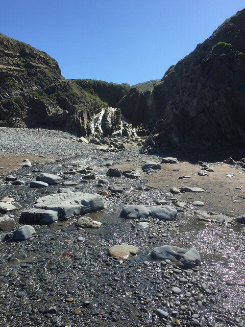
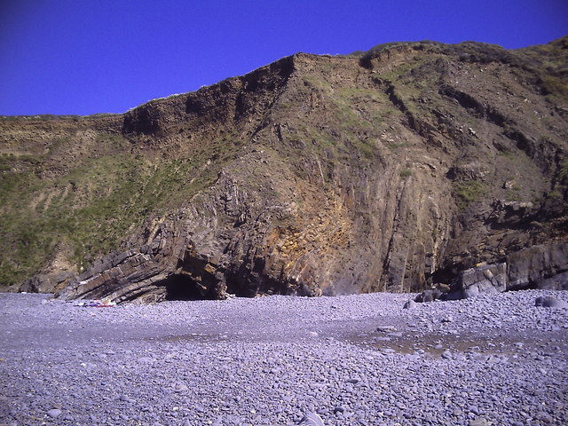
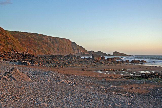
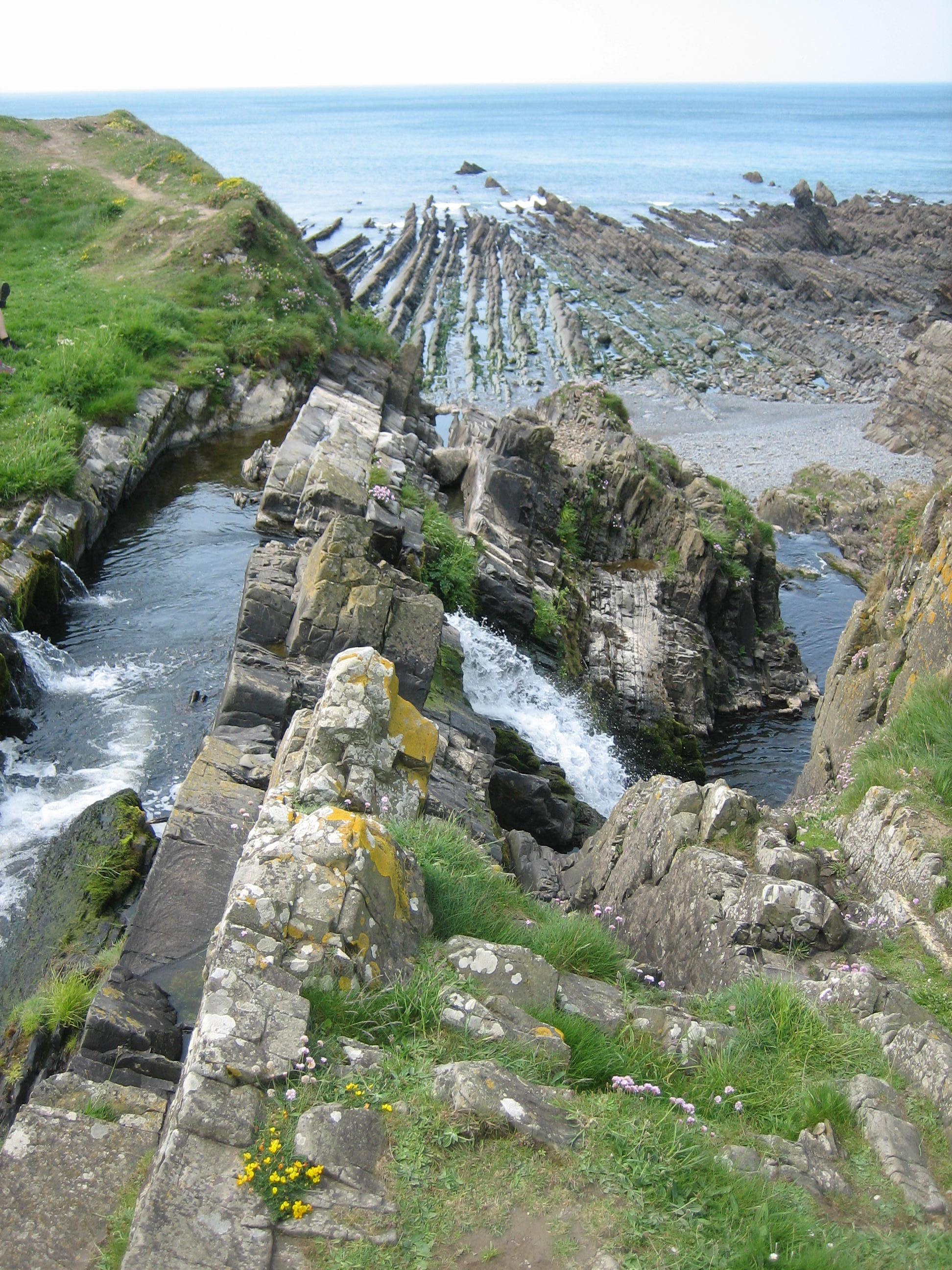
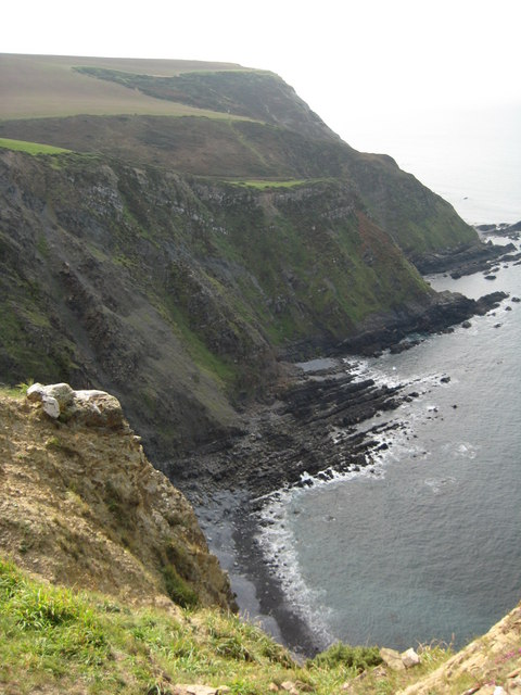
The sea at Broadbench Cove is known for its crystal-clear waters and pristine sandy beaches. It offers visitors the opportunity to engage in various recreational activities, such as swimming, sunbathing, and beachcombing. The coastline is also dotted with dramatic cliffs, providing breathtaking views of the surrounding area.
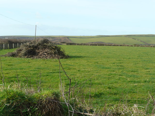
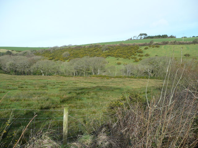
Adjacent to the sea is an estuary, which serves as a transitional zone between the saltwater of the sea and the freshwater of the creek. This estuarine environment is home to a rich array of plant and animal species, making it an ideal spot for nature enthusiasts. Visitors can explore the estuary by taking boat trips or embarking on scenic walks along its banks, taking in the sights and sounds of the diverse wildlife.
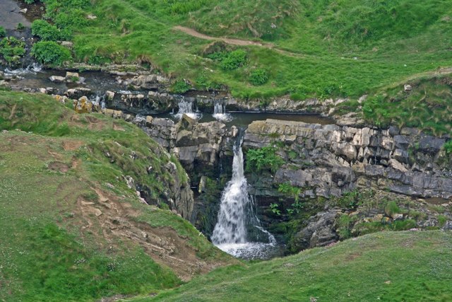
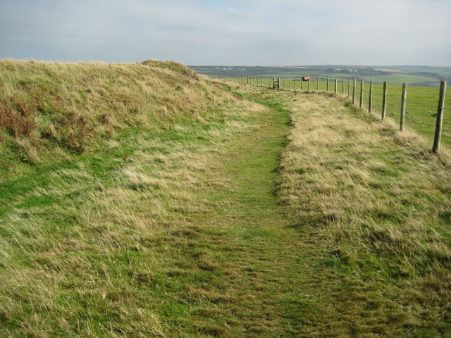
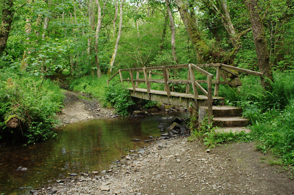
Towards the inland, a meandering creek flows through Broadbench Cove. This tranquil waterway is flanked by lush vegetation, creating a serene and peaceful atmosphere. The creek is an excellent spot for kayaking, paddleboarding, or simply enjoying a leisurely boat ride while taking in the scenic beauty of the surrounding countryside.
Overall, Broadbench Cove offers a unique blend of coastal and estuarine environments, providing visitors with a range of activities and experiences. Whether one seeks relaxation on the sandy beaches, exploration of the estuary's diverse ecosystem, or a peaceful journey along the creek, Broadbench Cove is undoubtedly a destination that will leave a lasting impression.
If you have any feedback on the listing, please let us know in the comments section below.
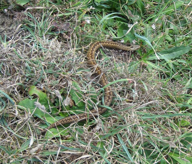
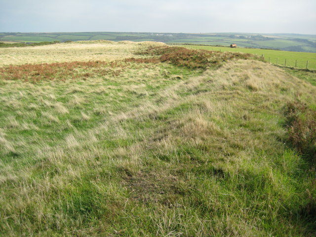
Broadbench Cove Images
Images are sourced within 2km of 50.948806/-4.5418417 or Grid Reference SS2119. Thanks to Geograph Open Source API. All images are credited.

Broadbench Cove is located at Grid Ref: SS2119 (Lat: 50.948806, Lng: -4.5418417)
Administrative County: Devon
District: Torridge
Police Authority: Devon and Cornwall
What 3 Words
///cubic.curry.dreaming. Near Flexbury, Cornwall
Nearby Locations
Related Wikis

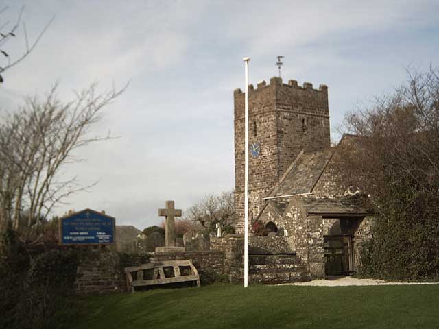
St Nectan's Church, Welcombe
St Nectan's Church is the parish church of Welcombe, on the border of Devon and Cornwall. W. G. Hoskins writes "St Nectan's Chapel was one of the many...
Welcombe
Welcombe is a village and civil parish on the coast of north Devon, England, just north of the border with Cornwall. It is part of the district of Torridge...

RFA Green Ranger
RFA Green Ranger was a Ranger-class fleet support tanker of the Royal Fleet Auxiliary. On 24 September 1946, Green Ranger was struck by a torpedo in Portland...

Gooseham Mill
Gooseham Mill is a hamlet in the parish of Morwenstow, Cornwall, England.The hamlet lies below Gooseham hamlet, in the Marsland valley. The county border...
Marsland Valley
Marsland Valley is a nature reserve situated in two large valleys which straddle the northern end of the Devon-Cornwall border. It is a designated nature...

Gooseham
Gooseham (Cornish: Pras an Woodh) is a hamlet in northeast Cornwall, England, United Kingdom. It is situated six miles (11 km) north of Bude and is approximately...
Steeple Point to Marsland Mouth
Steeple Point to Marsland Mouth is a coastal Site of Special Scientific Interest (SSSI) in Cornwall, England, UK, noted for its biological characteristics...
Church of St Morwenna and St John the Baptist, Morwenstow
The Church of St Morwenna and St John the Baptist is the parish church of Morwenstow, north Cornwall, England, United Kingdom, the most northerly parish...
Nearby Amenities
Located within 500m of 50.948806,-4.5418417Have you been to Broadbench Cove?
Leave your review of Broadbench Cove below (or comments, questions and feedback).