West Bolton

Settlement in Yorkshire Richmondshire

England

West Bolton

End of the line, Redmire
End of the line, Redmire Credit: roger geach

West Bolton is a picturesque village located in the county of Yorkshire, England. Situated in the southern part of the county, it is nestled in the rolling hills and stunning countryside that Yorkshire is famous for. The village is part of the larger Bolton parish, and it lies approximately 10 miles south of the city of York.

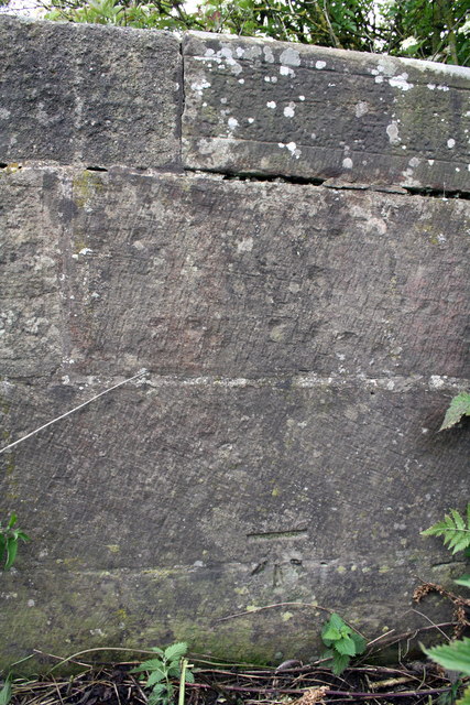
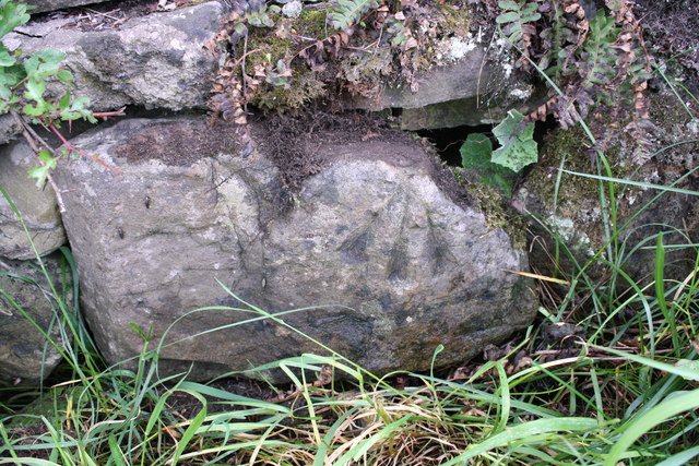
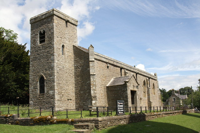
West Bolton boasts a rich history that dates back centuries. The village is home to several historic landmarks, including St. Mary's Church, a beautiful medieval church that stands as a testament to the village's long-standing religious traditions. The village also has a number of charming stone cottages and buildings that add to its quaint and traditional appeal.

Despite its small size, West Bolton offers a range of amenities to its residents and visitors. The village has a well-maintained primary school, providing education for the local children. Additionally, there is a local pub and a village shop, ensuring that essential goods and services are readily available.

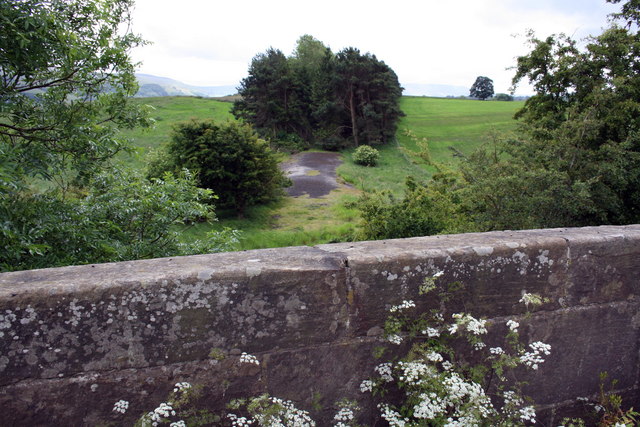
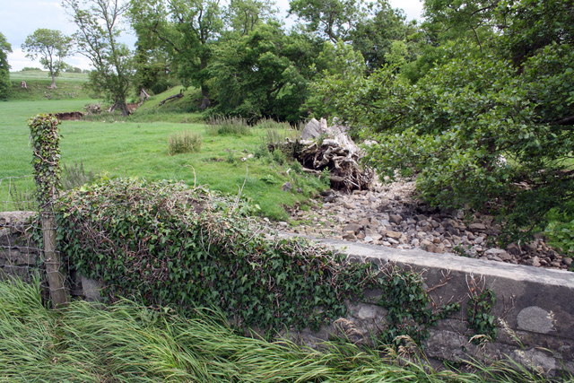
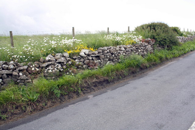
The natural beauty that surrounds West Bolton is a major draw for tourists and outdoor enthusiasts. The village is surrounded by lush green fields and wooded areas, making it an ideal location for hiking, biking, and exploring the great outdoors. The nearby River Ouse also provides opportunities for fishing and boating.

Overall, West Bolton is a tranquil and idyllic village that offers a sense of peace and serenity. Its rich history, beautiful surroundings, and close-knit community make it a charming place to visit or call home.

If you have any feedback on the listing, please let us know in the comments section below.
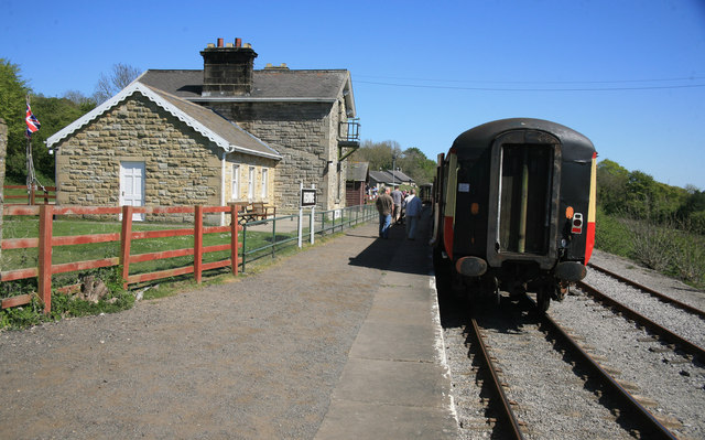
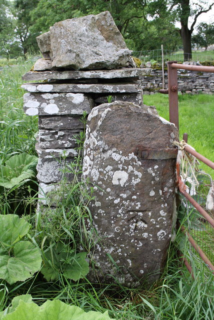
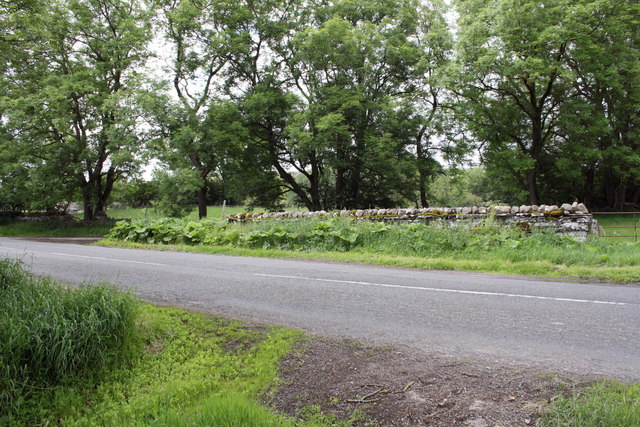
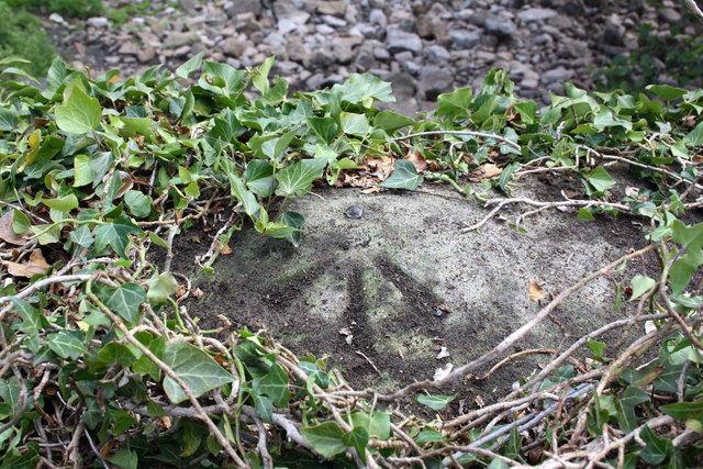
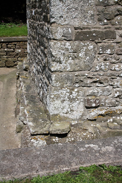
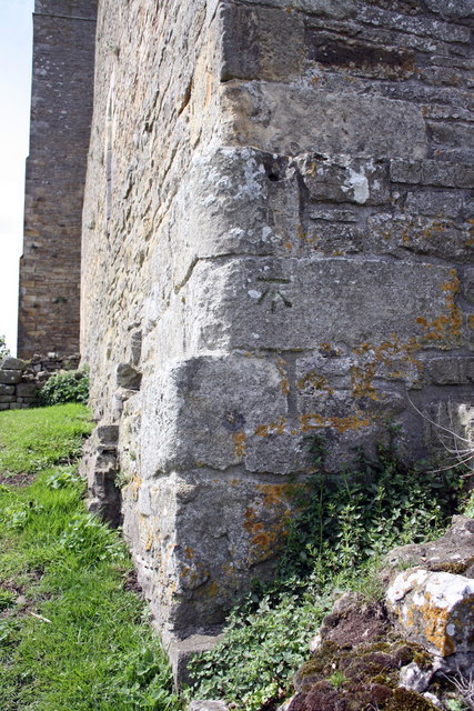
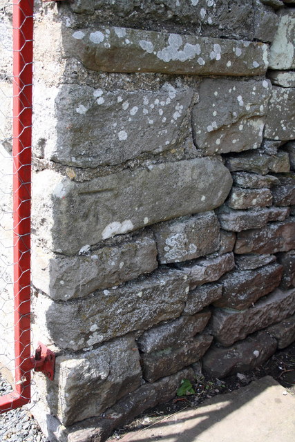
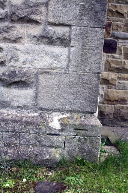
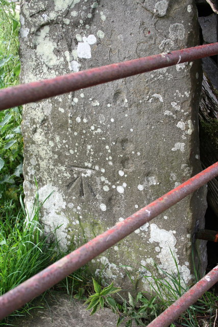
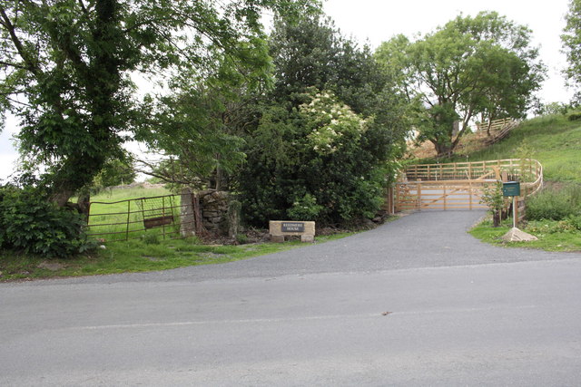
West Bolton Images

Images are sourced within 2km of 54.31744/-1.954356 or Grid Reference SE0391. Thanks to Geograph Open Source API. All images are credited.

End of the line, Redmire
Gatepost with benchmark beside road to Redmire The Ordnance Survey cut mark benchmark is described on the Bench Mark Database at <span class="nowrap"><a title="http://www.bench-marks.org.uk/bm38359" rel="nofollow ugc noopener" href="http://www.bench-marks.org.uk/bm38359">Link</a><img style="margin-left:2px;" alt="External link" title="External link - shift click to open in new window" src="https://s1.geograph.org.uk/img/external.png" width="10" height="10"/></span>
Gatepost with benchmark beside road to Redmire
The Ordnance Survey cut mark benchmark is described on the Bench Mark Database at LinkExternal link
Gateway and minor road junction on road to Redmire The gatepost on LHS of the gateway on RHS of photo has an OS benchmark <a href="https://www.geograph.org.uk/photo/2515931">SE0190 : Gatepost with benchmark beside road to Redmire</a>
Gateway and minor road junction on road to Redmire
The gatepost on LHS of the gateway on RHS of photo has an OS benchmark SE0190 : Gatepost with benchmark beside road to Redmire
View over bridge parapet of dismantled railway trackbed The bridge carries Brunton Bank over a disused and lifted section of the Wensleydale railway.
View over bridge parapet of dismantled railway trackbed
The bridge carries Brunton Bank over a disused and lifted section of the Wensleydale railway.
Wheeling Bridge and a dry Beldon Beck Under the mass of ivy at the left end of the parapet is an OS benchmark <a href="https://www.geograph.org.uk/photo/2516312">SE0390 : Benchmark on top of Wheeling Bridge parapet</a>
Wheeling Bridge and a dry Beldon Beck
Under the mass of ivy at the left end of the parapet is an OS benchmark SE0390 : Benchmark on top of Wheeling Bridge parapet
Benchmark on parapet of Brunton Bank railway bridge Ordnance Survey cut mark benchmark described on the Bench Mark Database at <span class="nowrap"><a title="http://www.bench-marks.org.uk/bm38360" rel="nofollow ugc noopener" href="http://www.bench-marks.org.uk/bm38360">Link</a><img style="margin-left:2px;" alt="External link" title="External link - shift click to open in new window" src="https://s1.geograph.org.uk/img/external.png" width="10" height="10"/></span>
Benchmark on parapet of Brunton Bank railway bridge
Ordnance Survey cut mark benchmark described on the Bench Mark Database at LinkExternal link
Benchmark on stone at side of Brunton Bank Ordnance Survey pivot benchmark described on the Bench Mark Database at <span class="nowrap"><a title="http://www.bench-marks.org.uk/bm38346" rel="nofollow ugc noopener" href="http://www.bench-marks.org.uk/bm38346">Link</a><img style="margin-left:2px;" alt="External link" title="External link - shift click to open in new window" src="https://s1.geograph.org.uk/img/external.png" width="10" height="10"/></span>
Benchmark on stone at side of Brunton Bank
Ordnance Survey pivot benchmark described on the Bench Mark Database at LinkExternal link
Flowers beside Brunton Bank One of the stones in the wall has an OS benchmark <a href="https://www.geograph.org.uk/photo/2516287">SE0290 : Benchmark on stone at side of Brunton Bank</a>
Flowers beside Brunton Bank
One of the stones in the wall has an OS benchmark SE0290 : Benchmark on stone at side of Brunton Bank
Benchmark on top of Wheeling Bridge parapet Ordnance Survey rivet benchmark described on the Bench Mark Database at <span class="nowrap"><a title="http://www.bench-marks.org.uk/bm38361" rel="nofollow ugc noopener" href="http://www.bench-marks.org.uk/bm38361">Link</a><img style="margin-left:2px;" alt="External link" title="External link - shift click to open in new window" src="https://s1.geograph.org.uk/img/external.png" width="10" height="10"/></span>. There is a wider view of the bridge at <a href="https://www.geograph.org.uk/photo/2515940">SE0390 : Wheeling Bridge and a dry Beldon Beck</a>
Benchmark on top of Wheeling Bridge parapet
Ordnance Survey rivet benchmark described on the Bench Mark Database at LinkExternal link. There is a wider view of the bridge at SE0390 : Wheeling Bridge and a dry Beldon Beck
Benchmark on St Oswald's Church Ordnance Survey cut mark benchmark described on the Bench Mark Database at <span class="nowrap"><a title="http://www.bench-marks.org.uk/bm38364" rel="nofollow ugc noopener" href="http://www.bench-marks.org.uk/bm38364">Link</a><img style="margin-left:2px;" alt="External link" title="External link - shift click to open in new window" src="https://s1.geograph.org.uk/img/external.png" width="10" height="10"/></span>
Benchmark on St Oswald's Church
Ordnance Survey cut mark benchmark described on the Bench Mark Database at LinkExternal link
St Oswald's Church There is an Ordnance Survey benchmark <a href="https://www.geograph.org.uk/photo/2516456">SE0391 : Benchmark on St Oswald's Church</a> on the near corner, right hand face, of the tower
St Oswald's Church
There is an Ordnance Survey benchmark SE0391 : Benchmark on St Oswald's Church on the near corner, right hand face, of the tower
Benchmark on Bolton Castle Ordnance Survey cut mark benchmark described on the Bench Mark Database at <span class="nowrap"><a title="http://www.bench-marks.org.uk/bm30948" rel="nofollow ugc noopener" href="http://www.bench-marks.org.uk/bm30948">Link</a><img style="margin-left:2px;" alt="External link" title="External link - shift click to open in new window" src="https://s1.geograph.org.uk/img/external.png" width="10" height="10"/></span>
Benchmark on Bolton Castle
Ordnance Survey cut mark benchmark described on the Bench Mark Database at LinkExternal link
Benchmark on the garage of Jacksons Cottage Ordnance Survey cut mark benchmark described on the Bench Mark Database at <span class="nowrap"><a title="http://www.bench-marks.org.uk/bm38365" rel="nofollow ugc noopener" href="http://www.bench-marks.org.uk/bm38365">Link</a><img style="margin-left:2px;" alt="External link" title="External link - shift click to open in new window" src="https://s1.geograph.org.uk/img/external.png" width="10" height="10"/></span>
Benchmark on the garage of Jacksons Cottage
Ordnance Survey cut mark benchmark described on the Bench Mark Database at LinkExternal link
Bolton Gill and forestry road
Benchmark on the former railway station Ordnance Survey cut mark benchmark described on the Bench Mark Database at <span class="nowrap"><a title="http://www.bench-marks.org.uk/bm38366" rel="nofollow ugc noopener" href="http://www.bench-marks.org.uk/bm38366">Link</a><img style="margin-left:2px;" alt="External link" title="External link - shift click to open in new window" src="https://s1.geograph.org.uk/img/external.png" width="10" height="10"/></span>
Benchmark on the former railway station
Ordnance Survey cut mark benchmark described on the Bench Mark Database at LinkExternal link
Benchmark on gatepost near entrance to Reedmere House Ordnance Survey cut mark benchmark described on the Bench Mark Database at <span class="nowrap"><a title="http://www.bench-marks.org.uk/bm38377" rel="nofollow ugc noopener" href="http://www.bench-marks.org.uk/bm38377">Link</a><img style="margin-left:2px;" alt="External link" title="External link - shift click to open in new window" src="https://s1.geograph.org.uk/img/external.png" width="10" height="10"/></span>
Benchmark on gatepost near entrance to Reedmere House
Ordnance Survey cut mark benchmark described on the Bench Mark Database at LinkExternal link
Entrance to Reedmere House and a field gateway The far gatepost of the field gateway has an OS benchmark <a href="https://www.geograph.org.uk/photo/2516561">SE0491 : Benchmark on gatepost near entrance to Reedmere House</a>
Entrance to Reedmere House and a field gateway
The far gatepost of the field gateway has an OS benchmark SE0491 : Benchmark on gatepost near entrance to Reedmere House
Benchmarked stone beside wall at Yoredale Cottages The Ordnance Survey cut mark benchmark is described on the Bench Mark Database at <span class="nowrap"><a title="http://www.bench-marks.org.uk/bm38381" rel="nofollow ugc noopener" href="http://www.bench-marks.org.uk/bm38381">Link</a><img style="margin-left:2px;" alt="External link" title="External link - shift click to open in new window" src="https://s1.geograph.org.uk/img/external.png" width="10" height="10"/></span>
Benchmarked stone beside wall at Yoredale Cottages
The Ordnance Survey cut mark benchmark is described on the Bench Mark Database at LinkExternal link
Show me another place!

West Bolton is located at Grid Ref: SE0391 (Lat: 54.31744, Lng: -1.954356)

Division: North Riding

Administrative County: North Yorkshire

District: Richmondshire

Police Authority: North Yorkshire

What 3 Words

///nuzzling.update.workloads. Near Leyburn, North Yorkshire

Related Wikis

St Oswald's Church, Castle Bolton

St Oswald's Church, Castle Bolton is a Grade II* listed parish church in the Church of England: 106  located in Castle Bolton, North Yorkshire. == History... ==

Bolton Castle

Bolton Castle is a 14th-century castle located in Wensleydale, Yorkshire, England (grid reference SE03379183). The nearby village of Castle Bolton takes...

Castle Bolton

Castle Bolton is a village in North Yorkshire, England. It is in Wensleydale, one of the Yorkshire Dales. The village takes its name from Bolton Castle...

Redmire

Redmire is a village and civil parish in North Yorkshire, England. It is about 4 miles (6.4 km) west of Leyburn in Wensleydale in the Yorkshire Dales....

Nearby Amenities

Located within 500m of 54.31744,-1.954356
Barrier: stile
Foot: designated
Lat/Long: 54.3173414/-1.9617785
Barrier: stile
Foot: designated
Lat/Long: 54.3187112/-1.9591794
Barrier: stile
Foot: designated
Lat/Long: 54.3201496/-1.9562808
Barrier: stile
Foot: yes
Lat/Long: 54.3158488/-1.9516748
Barrier: stile
Foot: yes
Lat/Long: 54.314602/-1.954044
Power: pole
Lat/Long: 54.3193253/-1.9480509
Power: pole
Lat/Long: 54.3192157/-1.949518
Power: pole
Lat/Long: 54.3191344/-1.9506204
Power: pole
Lat/Long: 54.3190452/-1.9517872
Power: pole
Lat/Long: 54.3189576/-1.9529459
Power: pole
Lat/Long: 54.3188465/-1.954346
Power: pole
Lat/Long: 54.3182677/-1.9572857
Power: pole
Lat/Long: 54.3180221/-1.9585222
Power: pole
Lat/Long: 54.3177905/-1.9597587
Power: pole
Lat/Long: 54.3175887/-1.9608262
The data included in this document is from www.openstreetmap.org. The data is made available under ODbL.

Have you been to West Bolton?

Leave your review of West Bolton below (or comments, questions and feedback).