Church Wood

Wood, Forest in Yorkshire Richmondshire

England

Church Wood

End of the line, Redmire
End of the line, Redmire Credit: roger geach

Church Wood is a picturesque woodland located in the county of Yorkshire, England. Situated in the heart of the countryside, this charming forest covers an area of approximately 100 acres, providing visitors with a tranquil and serene environment to explore.

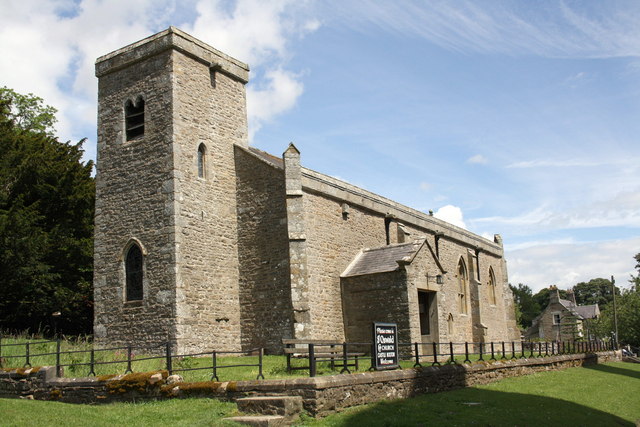
The wood gets its name from the presence of a historical church located on its grounds. Dating back to the 14th century, the church adds an element of history and intrigue to the woodland. Its architecture is a beautiful example of medieval design, with intricate stained glass windows and a tall spire that can be seen from afar.

The forest itself is a haven for nature lovers and wildlife enthusiasts. It is home to a diverse range of flora and fauna, including native species such as oak, beech, and birch trees. These trees create a dense canopy, providing shade and shelter for a variety of animals, including birds, squirrels, and deer.

A network of well-maintained walking trails wind their way through the woodland, allowing visitors to explore its beauty at their own pace. Along the trails, there are information boards that provide educational insights into the different species of trees and wildlife that can be found in the area.

Church Wood is also a popular spot for picnics and family outings. There are designated picnic areas and benches scattered throughout the forest, providing a perfect setting for a leisurely lunch surrounded by nature.

Overall, Church Wood offers a peaceful escape from the hustle and bustle of everyday life. Its rich history, diverse ecosystem, and tranquil atmosphere make it a must-visit destination for nature enthusiasts and those seeking a moment of serenity in Yorkshire.

If you have any feedback on the listing, please let us know in the comments section below.
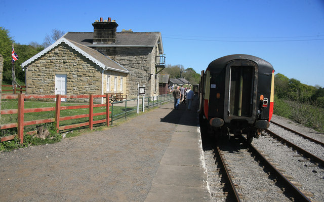
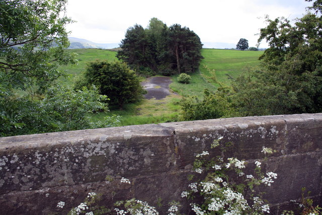
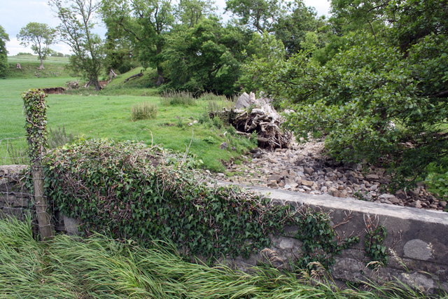
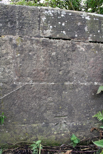
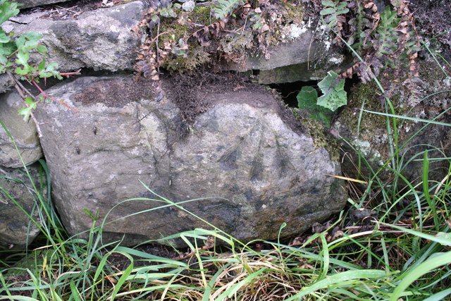
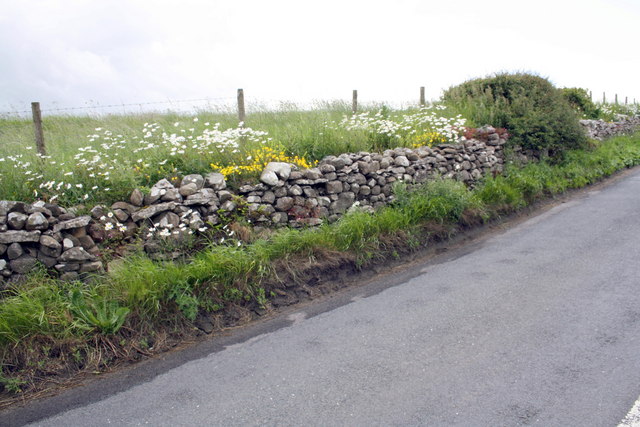
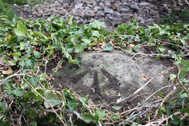
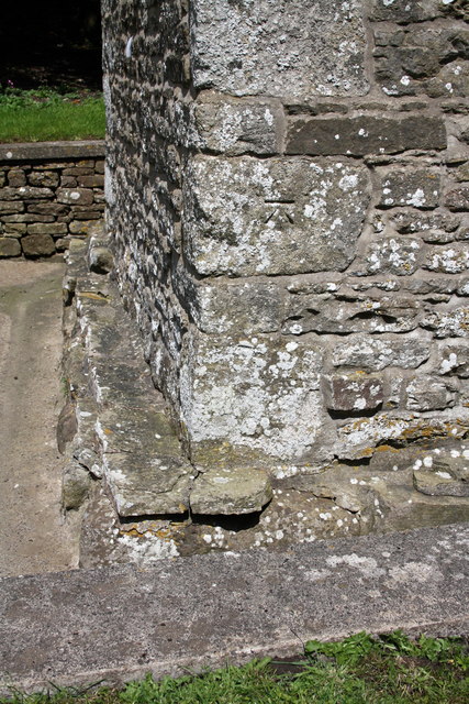
Church Wood Images

Images are sourced within 2km of 54.323407/-1.9513207 or Grid Reference SE0391. Thanks to Geograph Open Source API. All images are credited.

End of the line, Redmire
View over bridge parapet of dismantled railway trackbed The bridge carries Brunton Bank over a disused and lifted section of the Wensleydale railway.
View over bridge parapet of dismantled railway trackbed
The bridge carries Brunton Bank over a disused and lifted section of the Wensleydale railway.
Wheeling Bridge and a dry Beldon Beck Under the mass of ivy at the left end of the parapet is an OS benchmark <a href="https://www.geograph.org.uk/photo/2516312">SE0390 : Benchmark on top of Wheeling Bridge parapet</a>
Wheeling Bridge and a dry Beldon Beck
Under the mass of ivy at the left end of the parapet is an OS benchmark SE0390 : Benchmark on top of Wheeling Bridge parapet
Benchmark on parapet of Brunton Bank railway bridge Ordnance Survey cut mark benchmark described on the Bench Mark Database at <span class="nowrap"><a title="http://www.bench-marks.org.uk/bm38360" rel="nofollow ugc noopener" href="http://www.bench-marks.org.uk/bm38360">Link</a><img style="margin-left:2px;" alt="External link" title="External link - shift click to open in new window" src="https://s1.geograph.org.uk/img/external.png" width="10" height="10"/></span>
Benchmark on parapet of Brunton Bank railway bridge
Ordnance Survey cut mark benchmark described on the Bench Mark Database at LinkExternal link
Benchmark on stone at side of Brunton Bank Ordnance Survey pivot benchmark described on the Bench Mark Database at <span class="nowrap"><a title="http://www.bench-marks.org.uk/bm38346" rel="nofollow ugc noopener" href="http://www.bench-marks.org.uk/bm38346">Link</a><img style="margin-left:2px;" alt="External link" title="External link - shift click to open in new window" src="https://s1.geograph.org.uk/img/external.png" width="10" height="10"/></span>
Benchmark on stone at side of Brunton Bank
Ordnance Survey pivot benchmark described on the Bench Mark Database at LinkExternal link
Flowers beside Brunton Bank One of the stones in the wall has an OS benchmark <a href="https://www.geograph.org.uk/photo/2516287">SE0290 : Benchmark on stone at side of Brunton Bank</a>
Flowers beside Brunton Bank
One of the stones in the wall has an OS benchmark SE0290 : Benchmark on stone at side of Brunton Bank
Benchmark on top of Wheeling Bridge parapet Ordnance Survey rivet benchmark described on the Bench Mark Database at <span class="nowrap"><a title="http://www.bench-marks.org.uk/bm38361" rel="nofollow ugc noopener" href="http://www.bench-marks.org.uk/bm38361">Link</a><img style="margin-left:2px;" alt="External link" title="External link - shift click to open in new window" src="https://s1.geograph.org.uk/img/external.png" width="10" height="10"/></span>. There is a wider view of the bridge at <a href="https://www.geograph.org.uk/photo/2515940">SE0390 : Wheeling Bridge and a dry Beldon Beck</a>
Benchmark on top of Wheeling Bridge parapet
Ordnance Survey rivet benchmark described on the Bench Mark Database at LinkExternal link. There is a wider view of the bridge at SE0390 : Wheeling Bridge and a dry Beldon Beck
Benchmark on St Oswald's Church Ordnance Survey cut mark benchmark described on the Bench Mark Database at <span class="nowrap"><a title="http://www.bench-marks.org.uk/bm38364" rel="nofollow ugc noopener" href="http://www.bench-marks.org.uk/bm38364">Link</a><img style="margin-left:2px;" alt="External link" title="External link - shift click to open in new window" src="https://s1.geograph.org.uk/img/external.png" width="10" height="10"/></span>
Benchmark on St Oswald's Church
Ordnance Survey cut mark benchmark described on the Bench Mark Database at LinkExternal link
St Oswald's Church There is an Ordnance Survey benchmark <a href="https://www.geograph.org.uk/photo/2516456">SE0391 : Benchmark on St Oswald's Church</a> on the near corner, right hand face, of the tower
St Oswald's Church
There is an Ordnance Survey benchmark SE0391 : Benchmark on St Oswald's Church on the near corner, right hand face, of the tower
Benchmark on Bolton Castle Ordnance Survey cut mark benchmark described on the Bench Mark Database at <span class="nowrap"><a title="http://www.bench-marks.org.uk/bm30948" rel="nofollow ugc noopener" href="http://www.bench-marks.org.uk/bm30948">Link</a><img style="margin-left:2px;" alt="External link" title="External link - shift click to open in new window" src="https://s1.geograph.org.uk/img/external.png" width="10" height="10"/></span>
Benchmark on Bolton Castle
Ordnance Survey cut mark benchmark described on the Bench Mark Database at LinkExternal link
Benchmark on the garage of Jacksons Cottage Ordnance Survey cut mark benchmark described on the Bench Mark Database at <span class="nowrap"><a title="http://www.bench-marks.org.uk/bm38365" rel="nofollow ugc noopener" href="http://www.bench-marks.org.uk/bm38365">Link</a><img style="margin-left:2px;" alt="External link" title="External link - shift click to open in new window" src="https://s1.geograph.org.uk/img/external.png" width="10" height="10"/></span>
Benchmark on the garage of Jacksons Cottage
Ordnance Survey cut mark benchmark described on the Bench Mark Database at LinkExternal link
Bolton Gill and forestry road
Benchmark on the former railway station Ordnance Survey cut mark benchmark described on the Bench Mark Database at <span class="nowrap"><a title="http://www.bench-marks.org.uk/bm38366" rel="nofollow ugc noopener" href="http://www.bench-marks.org.uk/bm38366">Link</a><img style="margin-left:2px;" alt="External link" title="External link - shift click to open in new window" src="https://s1.geograph.org.uk/img/external.png" width="10" height="10"/></span>
Benchmark on the former railway station
Ordnance Survey cut mark benchmark described on the Bench Mark Database at LinkExternal link
Benchmark on gatepost near entrance to Reedmere House Ordnance Survey cut mark benchmark described on the Bench Mark Database at <span class="nowrap"><a title="http://www.bench-marks.org.uk/bm38377" rel="nofollow ugc noopener" href="http://www.bench-marks.org.uk/bm38377">Link</a><img style="margin-left:2px;" alt="External link" title="External link - shift click to open in new window" src="https://s1.geograph.org.uk/img/external.png" width="10" height="10"/></span>
Benchmark on gatepost near entrance to Reedmere House
Ordnance Survey cut mark benchmark described on the Bench Mark Database at LinkExternal link
Entrance to Reedmere House and a field gateway The far gatepost of the field gateway has an OS benchmark <a href="https://www.geograph.org.uk/photo/2516561">SE0491 : Benchmark on gatepost near entrance to Reedmere House</a>
Entrance to Reedmere House and a field gateway
The far gatepost of the field gateway has an OS benchmark SE0491 : Benchmark on gatepost near entrance to Reedmere House
Benchmarked stone beside wall at Yoredale Cottages The Ordnance Survey cut mark benchmark is described on the Bench Mark Database at <span class="nowrap"><a title="http://www.bench-marks.org.uk/bm38381" rel="nofollow ugc noopener" href="http://www.bench-marks.org.uk/bm38381">Link</a><img style="margin-left:2px;" alt="External link" title="External link - shift click to open in new window" src="https://s1.geograph.org.uk/img/external.png" width="10" height="10"/></span>
Benchmarked stone beside wall at Yoredale Cottages
The Ordnance Survey cut mark benchmark is described on the Bench Mark Database at LinkExternal link
Road junction at Yoredale Cottages Against the wall is a stone (of unknown use) <a href="https://www.geograph.org.uk/photo/2516721">SE0490 : Benchmarked stone beside wall at Yoredale Cottages</a>
Road junction at Yoredale Cottages
Against the wall is a stone (of unknown use) SE0490 : Benchmarked stone beside wall at Yoredale Cottages
Benchmark on abutment wall of railway bridge west of Redmire Station Ordnance Survey rivet benchmark described on the Bench Mark Database at <span class="nowrap"><a title="http://www.bench-marks.org.uk/bm38382" rel="nofollow ugc noopener" href="http://www.bench-marks.org.uk/bm38382">Link</a><img style="margin-left:2px;" alt="External link" title="External link - shift click to open in new window" src="https://s1.geograph.org.uk/img/external.png" width="10" height="10"/></span>
Benchmark on abutment wall of railway bridge west of Redmire Station
Ordnance Survey rivet benchmark described on the Bench Mark Database at LinkExternal link
Show me another place!

Church Wood is located at Grid Ref: SE0391 (Lat: 54.323407, Lng: -1.9513207)

Division: North Riding

Administrative County: North Yorkshire

District: Richmondshire

Police Authority: North Yorkshire

What 3 Words

///searching.date.surveyed. Near Leyburn, North Yorkshire

Related Wikis

St Oswald's Church, Castle Bolton

St Oswald's Church, Castle Bolton is a Grade II* listed parish church in the Church of England: 106  located in Castle Bolton, North Yorkshire. == History... ==

Castle Bolton

Castle Bolton is a village in North Yorkshire, England. It is in Wensleydale, one of the Yorkshire Dales. The village takes its name from Bolton Castle...

Bolton Castle

Bolton Castle is a 14th-century castle located in Wensleydale, Yorkshire, England (grid reference SE03379183). The nearby village of Castle Bolton takes...

Redmire

Redmire is a village and civil parish in North Yorkshire, England. It is about 4 miles (6.4 km) west of Leyburn in Wensleydale in the Yorkshire Dales....

Nearby Amenities

Located within 500m of 54.323407,-1.9513207
Castle Bolton
Place: hamlet
Wikidata: Q5049999
Wikipedia: en:Castle Bolton
Lat/Long: 54.3224724/-1.9478258
Barrier: stile
Foot: designated
Lat/Long: 54.3201496/-1.9562808
Bicycle Parking
Capacity: 8
Covered: no
Lat/Long: 54.3223523/-1.9507536
Post Box
Post Box Type: wall
Ref: DL8 136
Lat/Long: 54.3224385/-1.9492995
Bench
Backrest: yes
Material: stone
Seats: 6
Source: gps survey
Lat/Long: 54.322471/-1.949226
Bench
Backrest: yes
Lat/Long: 54.3224795/-1.9490865
Telephone
Booth: K6
Covered: booth
Listed Status: Grade II
Wikidata: Q26553718
Lat/Long: 54.3223689/-1.9475667
Bench
Backrest: yes
Lat/Long: 54.3227669/-1.9456642
Bus Stop
Bus: yes
Public Transport: platform
Shelter: no
Lat/Long: 54.3223163/-1.9485105
Bench
Backrest: yes
Material: wood
Lat/Long: 54.3224429/-1.9469497
Bench
Backrest: yes
Material: wood
Seats: 4
Lat/Long: 54.32273/-1.945996
Building: house
Lat/Long: 54.3223445/-1.9454079
Cafe
Bolton Castle Tea Room
Addr City: Leyburn
Addr Postcode: DL8 4ET
Addr Suburb: Castle Bolton
Email: guyfairhurstcatering@boltoncastle.co.uk
Fhrs Id: 1357162
Opening Hours: Feb-Oct: Mo-Su 10:00-16:00
Phone: +44 1969 625 617
Source Addr: FHRS Open Data
Lat/Long: 54.3220847/-1.9499256
Bench
Backrest: no
Lat/Long: 54.3220285/-1.9501442
Bench
Backrest: no
Lat/Long: 54.322056/-1.9501608
Bench
Backrest: no
Lat/Long: 54.3221538/-1.9502114
Waste Basket
Lat/Long: 54.3223533/-1.9501518
Waste Basket
Lat/Long: 54.3223205/-1.9501507
Vending Machine
Payment Coins: yes
Vending: parking_tickets
Lat/Long: 54.3223343/-1.9507958
Waste Basket
Waste: dog_excrement
Lat/Long: 54.3222999/-1.9509204
Urus Draconis
Artist Name: Andris Beros
Material: wood
Tourism: artwork
Lat/Long: 54.3216725/-1.9486562
Barrier: stile
Foot: designated
Lat/Long: 54.3215198/-1.9450354
Power: pole
Lat/Long: 54.3192157/-1.949518
Power: pole
Lat/Long: 54.3191344/-1.9506204
Power: pole
Lat/Long: 54.3190452/-1.9517872
Entrance: main
Lat/Long: 54.3223088/-1.9497044
Cafe
Castle Bolton Kiosk
Takeaway: only
Website: https://www.facebook.com/boltoncastle1/posts/4165890160158811
Lat/Long: 54.322331/-1.9502633
The data included in this document is from www.openstreetmap.org. The data is made available under ODbL.

Have you been to Church Wood?

Leave your review of Church Wood below (or comments, questions and feedback).