Castle Bolton
Settlement in Yorkshire Richmondshire
England
Castle Bolton
Castle Bolton is a historic fortress located in the village of Bolton Castle, in the beautiful countryside of Wensleydale, Yorkshire, England. Built in the 14th century, this medieval stronghold stands as a testament to the rich history and architectural wonders of the region.
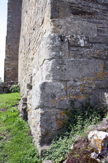
The castle is constructed of sturdy limestone and boasts a magnificent four-story keep, surrounded by high curtain walls and sturdy towers. Its strategic location on a hilltop offers breathtaking panoramic views of the surrounding countryside. The castle's design is a stunning example of the fortified manor house style, with its imposing entrance gate, defensive walls, and inner courtyard.
Throughout its history, Castle Bolton has played a significant role in England's past. It was originally built by Richard le Scrope, the First Baron Scrope of Bolton, and has been home to the Scrope family for over six centuries. The castle has witnessed numerous historical events, including the imprisonment of Mary, Queen of Scots, during the 16th century.
Visitors to Castle Bolton can explore its well-preserved interiors, which showcase the castle's grandeur and offer a glimpse into medieval life. Highlights include the Great Chamber, the Old Kitchen, and the Solar, each adorned with period furnishings and intricate tapestries. The castle also houses a museum that provides further insights into its history, featuring displays of armor, weaponry, and archaeological artifacts.
The grounds surrounding Castle Bolton are equally captivating, with well-manicured gardens, a herb garden, and a charming village nearby. The castle hosts various events throughout the year, including reenactments, falconry displays, and historical exhibitions, making it a popular destination for history enthusiasts and tourists alike.
If you have any feedback on the listing, please let us know in the comments section below.
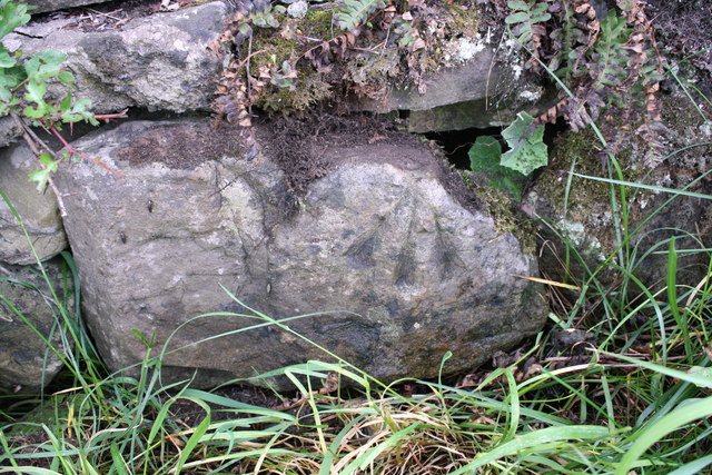
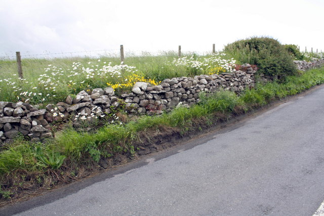
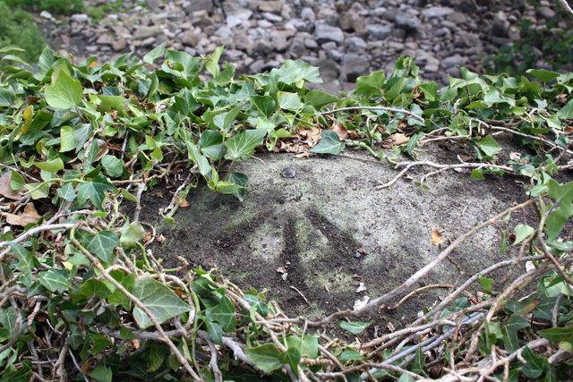
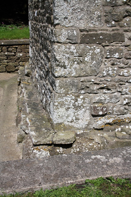
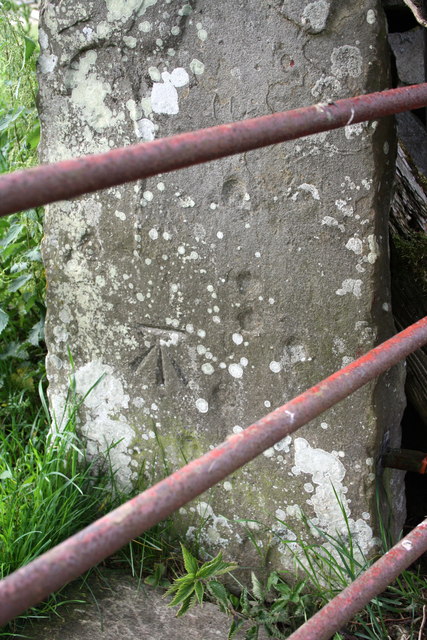
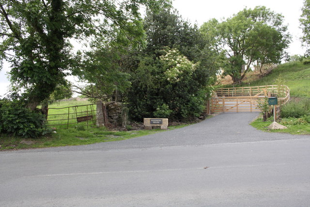
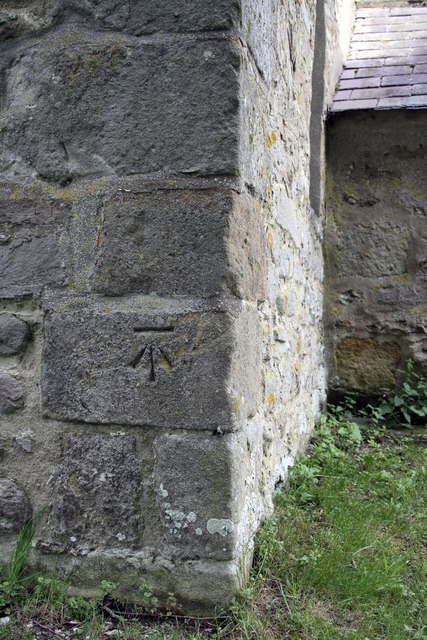
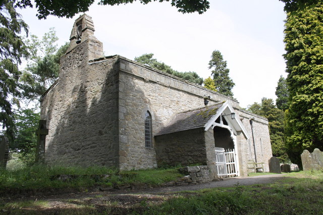
Castle Bolton Images
Images are sourced within 2km of 54.322129/-1.949 or Grid Reference SE0391. Thanks to Geograph Open Source API. All images are credited.

Castle Bolton is located at Grid Ref: SE0391 (Lat: 54.322129, Lng: -1.949)
Division: North Riding
Administrative County: North Yorkshire
District: Richmondshire
Police Authority: North Yorkshire
What 3 Words
///remembers.lanes.toward. Near Leyburn, North Yorkshire
Nearby Locations
Related Wikis

Bolton Castle
Bolton Castle is a 14th-century castle located in Wensleydale, Yorkshire, England (grid reference SE03379183). The nearby village of Castle Bolton takes...

Castle Bolton
Castle Bolton is a village in North Yorkshire, England. It is in Wensleydale, one of the Yorkshire Dales. The village takes its name from Bolton Castle...

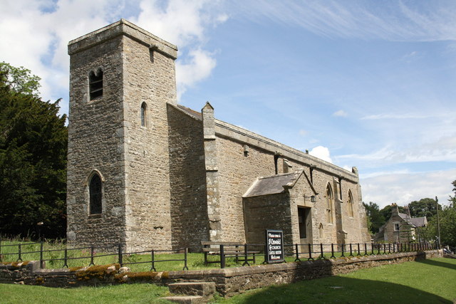
St Oswald's Church, Castle Bolton
St Oswald's Church, Castle Bolton is a Grade II* listed parish church in the Church of England: 106 located in Castle Bolton, North Yorkshire. == History... ==

Redmire
Redmire is a village and civil parish in North Yorkshire, England. It is about 4 miles (6.4 km) west of Leyburn in Wensleydale in the Yorkshire Dales....
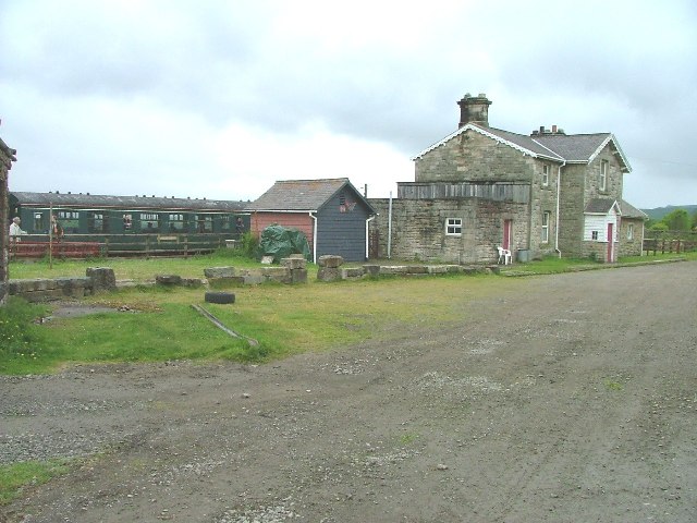
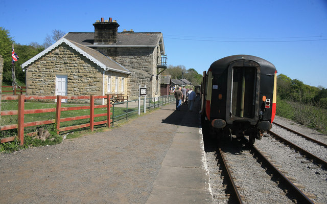
Redmire railway station
Redmire railway station is the current western terminus of the Wensleydale Railway and serves the village of Redmire in North Yorkshire, England. It is...

St Mary's Church, Redmire
St Mary's Church, Redmire is a Grade II* listed parish church in the Church of England: 289 in Redmire, North Yorkshire. == History == The church dates...

Bishopdale Beck
Bishopdale Beck is a major tributary of the River Ure in North Yorkshire, England. The beck flows down Bishopdale, a side valley of Wensleydale in the...

Penhill Preceptory
Penhill Preceptory was a priory on the northern flanks of Penhill in Wensleydale, North Yorkshire, England, which functioned from about 1142 to 1308–12...
Nearby Amenities
Located within 500m of 54.322129,-1.949Have you been to Castle Bolton?
Leave your review of Castle Bolton below (or comments, questions and feedback).