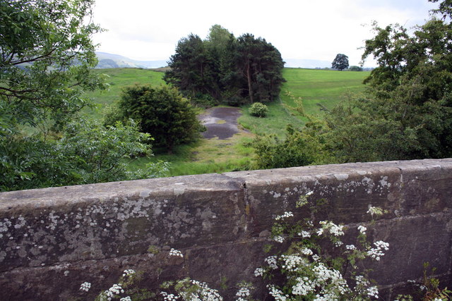
Cow Pasture Plantation
Wood, Forest in Yorkshire Richmondshire
England
Cow Pasture Plantation
Cow Pasture Plantation is a picturesque woodland located in the Yorkshire countryside. Spanning over a vast area, the plantation is renowned for its diverse range of trees and is a popular destination for nature enthusiasts and hikers alike.
The woodland is predominantly composed of native tree species such as oak, beech, and silver birch, which contribute to its rich biodiversity. The dense canopy created by these towering trees provides a cool and shaded environment, making it a perfect retreat during the hot summer months. Additionally, the woodland floor is adorned with an array of wildflowers and ferns, adding to its natural charm.
Cow Pasture Plantation is home to various wildlife species, including deer, badgers, and a myriad of bird species. Birdwatchers can spot woodpeckers, owls, and finches among the dense foliage. The woodland also houses a number of bird nesting boxes, providing a safe haven for breeding birds.
For visitors who enjoy hiking and exploring, Cow Pasture Plantation offers a network of well-maintained trails that wind through the woodland. These trails provide an opportunity to immerse oneself in the tranquility of nature, with occasional clearings offering panoramic views of the surrounding countryside. The plantation is also equipped with picnic areas, allowing visitors to have a leisurely lunch amidst the natural beauty.
Cow Pasture Plantation is open to the public year-round, with various events and activities organized throughout the year, including guided nature walks and educational workshops. Whether one seeks solace in nature, wants to observe wildlife, or simply wishes to unwind in a serene environment, Cow Pasture Plantation offers an idyllic setting for all.
If you have any feedback on the listing, please let us know in the comments section below.
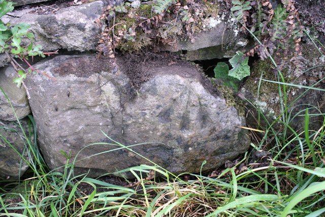
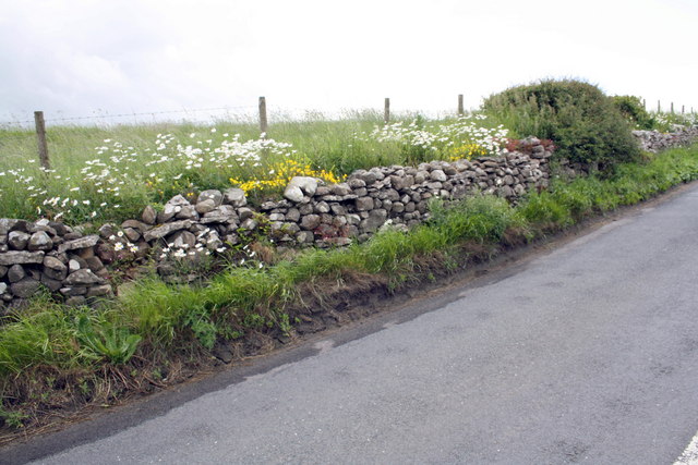
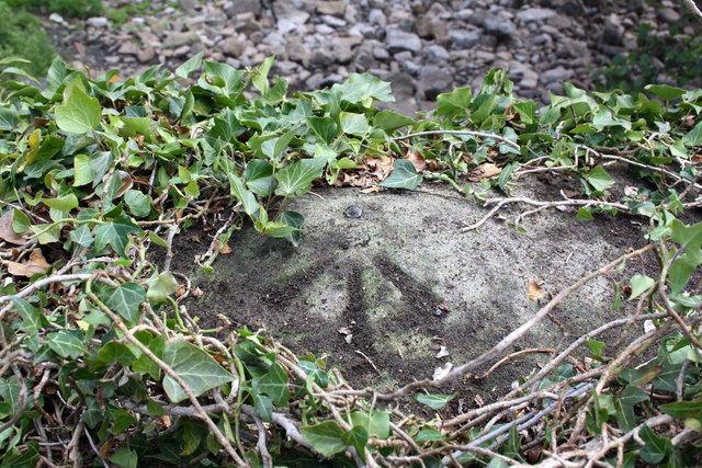
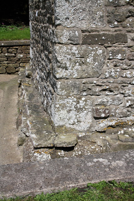
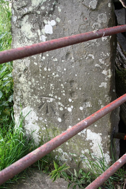
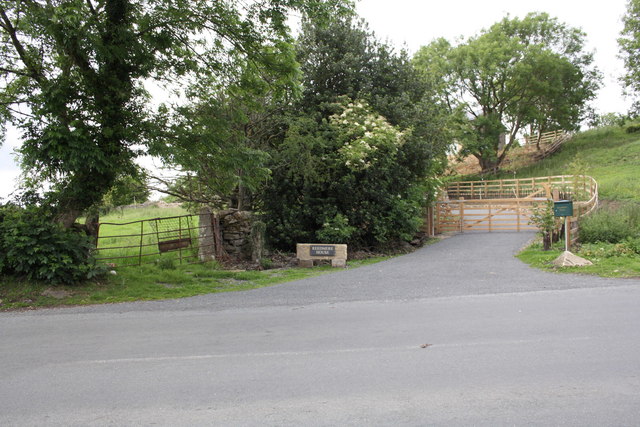
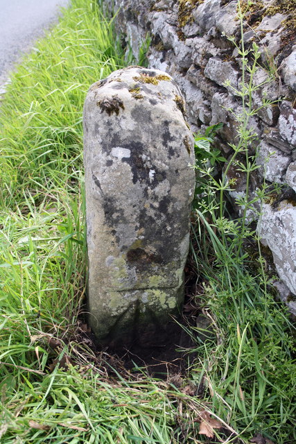
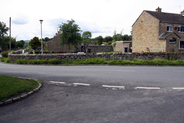
Cow Pasture Plantation Images
Images are sourced within 2km of 54.322436/-1.9524902 or Grid Reference SE0391. Thanks to Geograph Open Source API. All images are credited.

Cow Pasture Plantation is located at Grid Ref: SE0391 (Lat: 54.322436, Lng: -1.9524902)
Division: North Riding
Administrative County: North Yorkshire
District: Richmondshire
Police Authority: North Yorkshire
What 3 Words
///fragment.flute.elbowing. Near Leyburn, North Yorkshire
Nearby Locations
Related Wikis

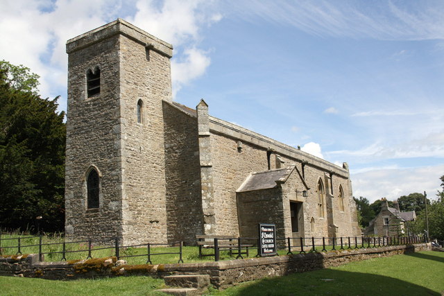
St Oswald's Church, Castle Bolton
St Oswald's Church, Castle Bolton is a Grade II* listed parish church in the Church of England: 106 located in Castle Bolton, North Yorkshire. == History... ==

Bolton Castle
Bolton Castle is a 14th-century castle located in Wensleydale, Yorkshire, England (grid reference SE03379183). The nearby village of Castle Bolton takes...

Castle Bolton
Castle Bolton is a village in North Yorkshire, England. It is in Wensleydale, one of the Yorkshire Dales. The village takes its name from Bolton Castle...

Redmire
Redmire is a village and civil parish in North Yorkshire, England. It is about 4 miles (6.4 km) west of Leyburn in Wensleydale in the Yorkshire Dales....
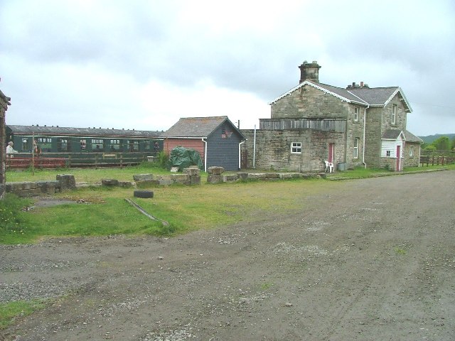
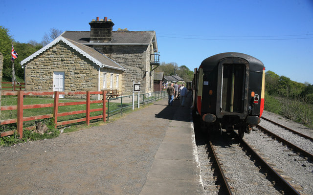
Redmire railway station
Redmire railway station is the current western terminus of the Wensleydale Railway and serves the village of Redmire in North Yorkshire, England. It is...

St Mary's Church, Redmire
St Mary's Church, Redmire is a Grade II* listed parish church in the Church of England: 289 in Redmire, North Yorkshire. == History == The church dates...

Bishopdale Beck
Bishopdale Beck is a major tributary of the River Ure in North Yorkshire, England. The beck flows down Bishopdale, a side valley of Wensleydale in the...

Carperby-cum-Thoresby
Carperby-cum-Thoresby is a civil parish in the Richmondshire district of North Yorkshire, England. The parish contains the village of Carperby and the...
Nearby Amenities
Located within 500m of 54.322436,-1.9524902Have you been to Cow Pasture Plantation?
Leave your review of Cow Pasture Plantation below (or comments, questions and feedback).