Nelly Force
Waterfall in Yorkshire Richmondshire
England
Nelly Force
Nelly Force, also known as Yorkshire Waterfall, is a picturesque natural attraction nestled in the heart of Yorkshire, England. This stunning waterfall is located near the village of Keld in Swaledale, within the Yorkshire Dales National Park.
Nelly Force is a captivating sight, with water cascading down a series of limestone steps, creating a mesmerizing display of beauty and power. The waterfall is formed by the Swale River, which flows through the rugged landscape of the Yorkshire Dales. The height of the waterfall varies depending on the season and rainfall, but it can reach up to 20 feet during periods of heavy rain.
Surrounded by lush greenery and rocky outcrops, Nelly Force offers a tranquil and idyllic setting for visitors to enjoy. The area around the waterfall is rich in biodiversity, with a variety of plant and animal species thriving in this natural habitat. Visitors may spot wildflowers, mosses, and ferns, as well as birds and small mammals.
The waterfall is accessible via a well-maintained footpath that winds through the stunning landscape of the Yorkshire Dales. The path offers panoramic views of the surrounding countryside, adding to the overall experience of visiting Nelly Force. It is important to note that the footpath may become slippery during wet weather, so appropriate footwear is advised.
Nelly Force is a popular destination for nature enthusiasts, hikers, and photographers, who are drawn to its natural beauty and serenity. Whether it's for a peaceful walk in nature or capturing stunning photographs, Nelly Force provides a memorable experience for all who visit.
If you have any feedback on the listing, please let us know in the comments section below.
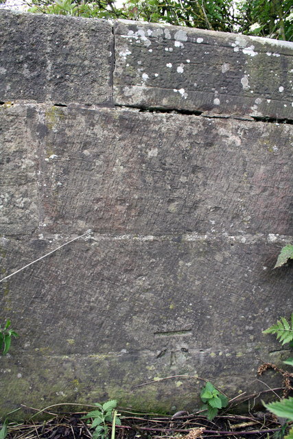
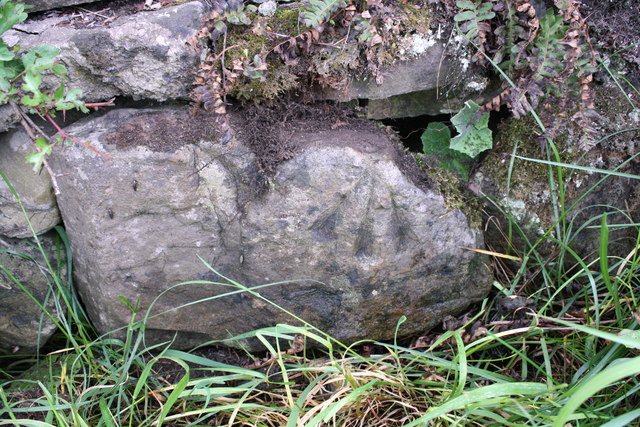
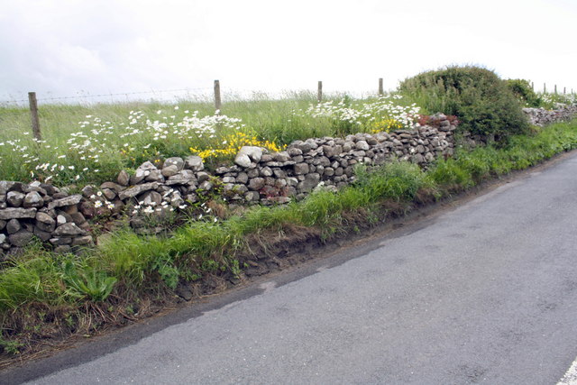
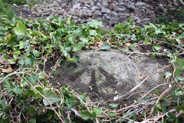
Nelly Force Images
Images are sourced within 2km of 54.319825/-1.9404099 or Grid Reference SE0391. Thanks to Geograph Open Source API. All images are credited.

Nelly Force is located at Grid Ref: SE0391 (Lat: 54.319825, Lng: -1.9404099)
Division: North Riding
Administrative County: North Yorkshire
District: Richmondshire
Police Authority: North Yorkshire
What 3 Words
///scanty.angel.swerving. Near Leyburn, North Yorkshire
Nearby Locations
Related Wikis

Bolton Castle
Bolton Castle is a 14th-century castle located in Wensleydale, Yorkshire, England (grid reference SE03379183). The nearby village of Castle Bolton takes...

Castle Bolton
Castle Bolton is a village in North Yorkshire, England. It is in Wensleydale, one of the Yorkshire Dales. The village takes its name from Bolton Castle...

Redmire
Redmire is a village and civil parish in North Yorkshire, England. It is about 4 miles (6.4 km) west of Leyburn in Wensleydale in the Yorkshire Dales....

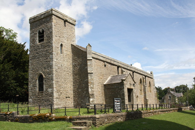
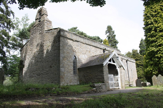
St Oswald's Church, Castle Bolton
St Oswald's Church, Castle Bolton is a Grade II* listed parish church in the Church of England: 106 located in Castle Bolton, North Yorkshire. == History... ==
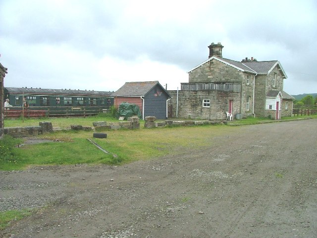
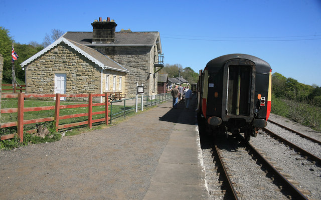
Redmire railway station
Redmire railway station is the current western terminus of the Wensleydale Railway and serves the village of Redmire in North Yorkshire, England. It is...

St Mary's Church, Redmire
St Mary's Church, Redmire is a Grade II* listed parish church in the Church of England: 289 in Redmire, North Yorkshire. == History == The church dates...

Bishopdale Beck
Bishopdale Beck is a major tributary of the River Ure in North Yorkshire, England. The beck flows down Bishopdale, a side valley of Wensleydale in the...

Swinithwaite
Swinithwaite is a hamlet in the Yorkshire Dales, North Yorkshire, England. It lies on the A684 road, 2 miles (3.2 km) miles east of Aysgarth.The hamlet...
Nearby Amenities
Located within 500m of 54.319825,-1.9404099Have you been to Nelly Force?
Leave your review of Nelly Force below (or comments, questions and feedback).