Anglesea Coppice
Wood, Forest in Staffordshire Stafford
England
Anglesea Coppice
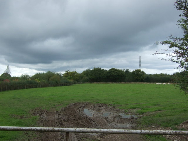
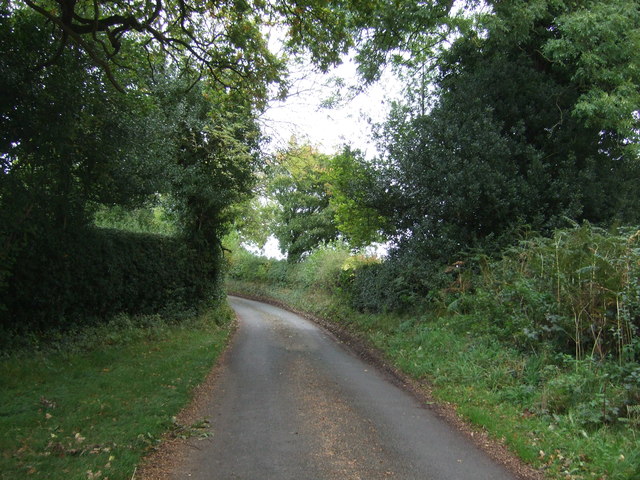
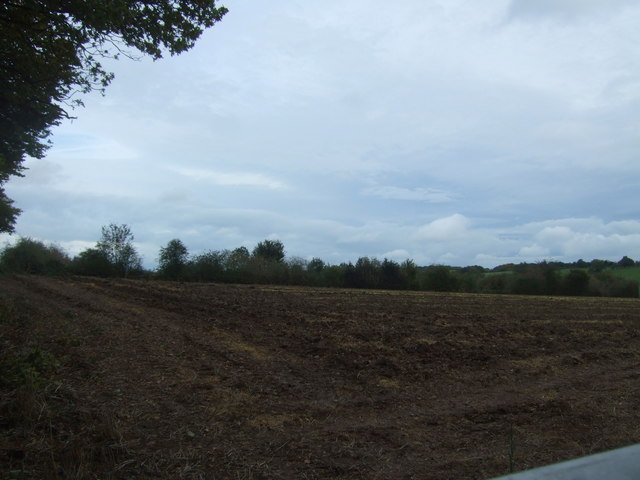
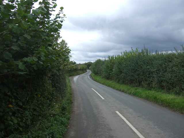
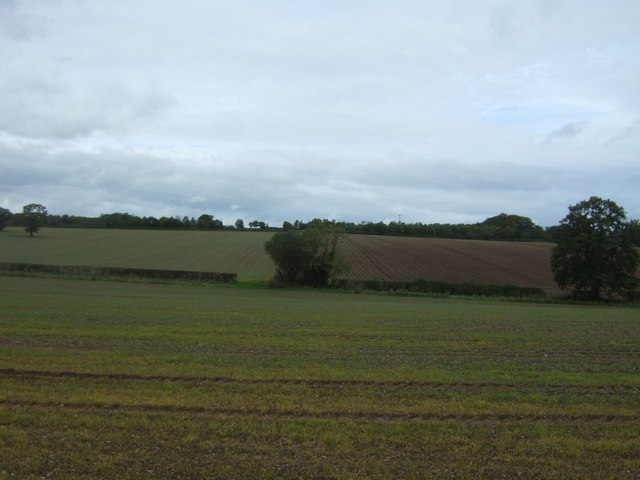
Anglesea Coppice is a picturesque woodland located in Staffordshire, England. Covering an area of approximately 20 acres, this coppice is a beautiful example of a managed forest that has been cherished for centuries. The woodland is named after the Anglesea family, who were the original owners of the land.
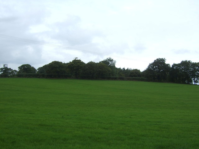
The coppice is predominantly composed of deciduous trees such as oak, ash, and birch, which provide a diverse habitat for a wide range of wildlife species. The forest floor is adorned with an array of wildflowers, including bluebells, primroses, and wood anemones, creating a colorful and enchanting atmosphere during the springtime.
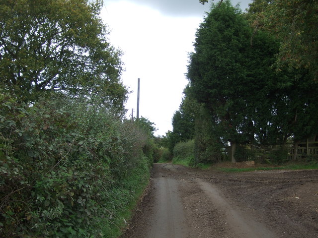
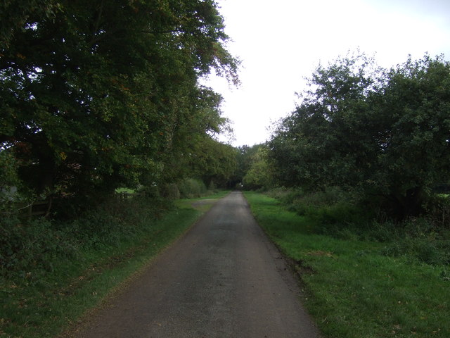
Anglesea Coppice is known for its rich history and cultural heritage. It has been used as a source of timber for centuries, with evidence of coppicing techniques dating back to medieval times. The practice of coppicing involves periodically cutting down certain trees and allowing them to regrow from the stumps, ensuring a sustainable supply of timber.
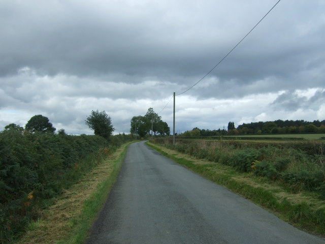
Visitors to Anglesea Coppice can enjoy a variety of recreational activities, including walking, birdwatching, and nature photography. There are well-maintained trails that meander through the woodland, providing a peaceful and serene environment for visitors to explore.
The coppice is also home to a diverse range of wildlife, including deer, foxes, and various species of birds. Birdwatchers may spot woodpeckers, owls, and a variety of songbirds in the treetops. The woodland is also a haven for butterflies and insects, with numerous species calling it home.
Overall, Anglesea Coppice is a stunning woodland that offers a glimpse into the natural beauty and historical significance of Staffordshire's forests. It is a place where nature and history intertwine, providing a unique and memorable experience for all who visit.
If you have any feedback on the listing, please let us know in the comments section below.
Anglesea Coppice Images
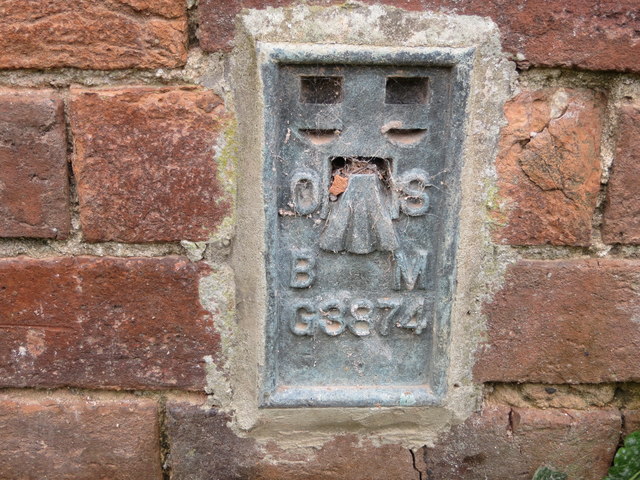
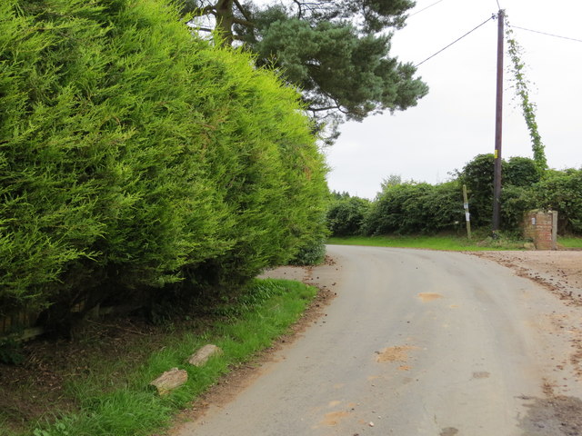
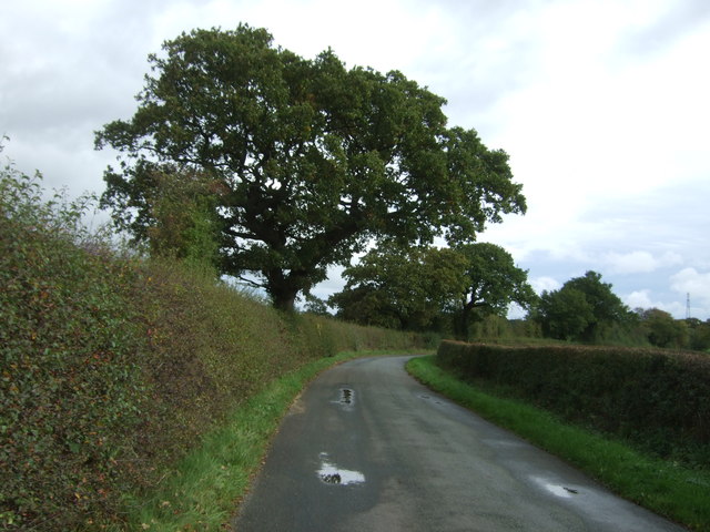
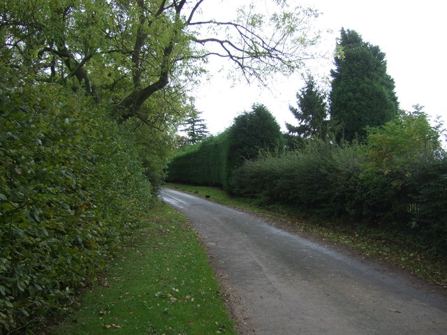
Images are sourced within 2km of 52.85165/-1.954073 or Grid Reference SK0328. Thanks to Geograph Open Source API. All images are credited.


Anglesea Coppice is located at Grid Ref: SK0328 (Lat: 52.85165, Lng: -1.954073)
Administrative County: Staffordshire
District: Stafford
Police Authority: Staffordshire
What 3 Words
///smile.beaks.darts. Near Great Haywood, Staffordshire
Nearby Locations
Related Wikis

Chartley Moss
Chartley Moss is a 105.80 hectare biological Site of Special Scientific Interest in Staffordshire, notified in 1987. The area has been designated as an...

Grindley railway station
Grindley railway station was a former British railway station to serve the village of Grindley in Staffordshire. It was opened by the Stafford and Uttoxeter...
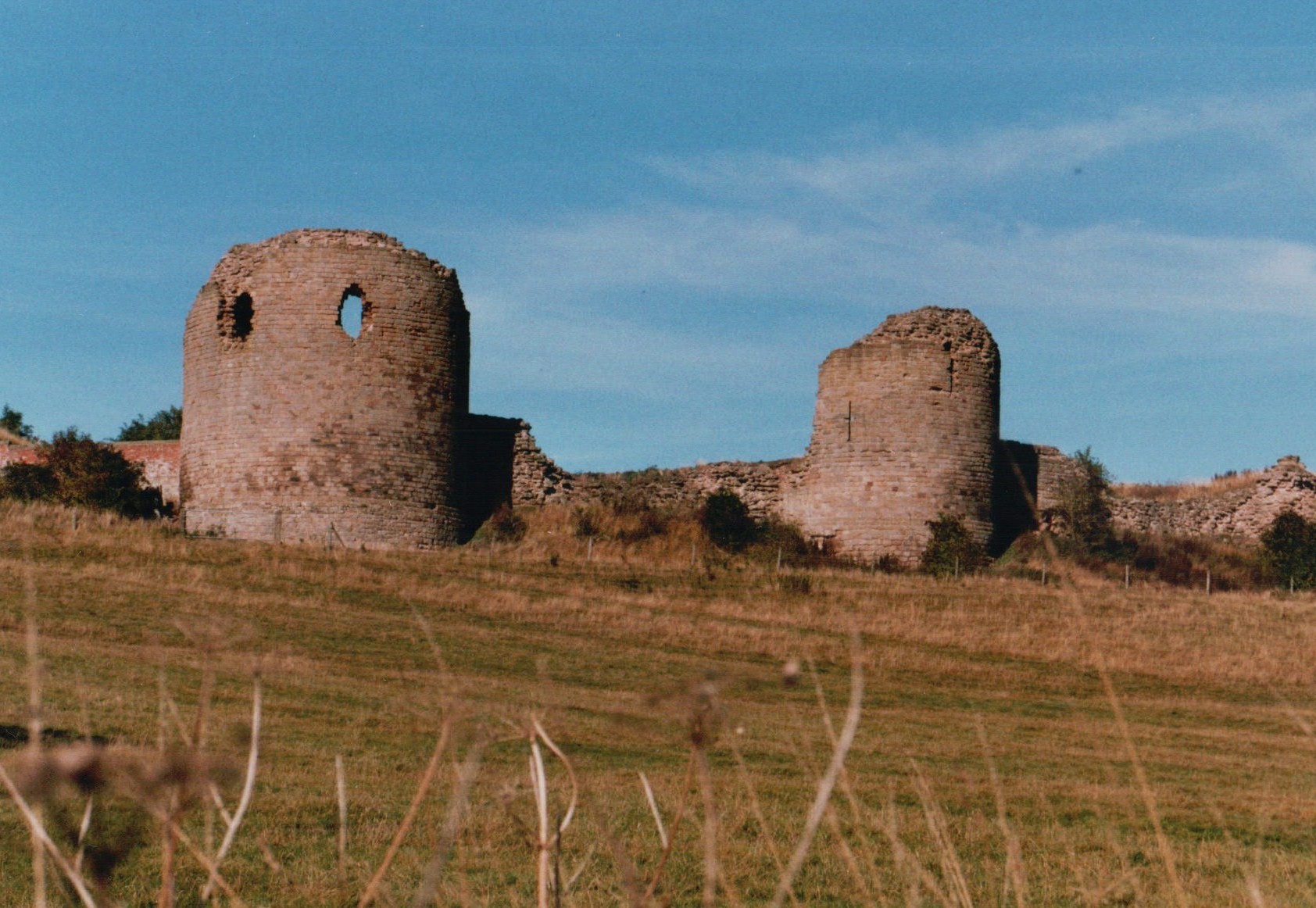
Chartley Castle
Chartley Castle lies in ruins to the north of the village of Stowe-by-Chartley in Staffordshire, between Stafford and Uttoxeter (grid reference SK010285...

Chartley railway station
Chartley railway station was a former British railway station to serve the village of Stowe-by-Chartley in Staffordshire. It was opened by the Stafford...
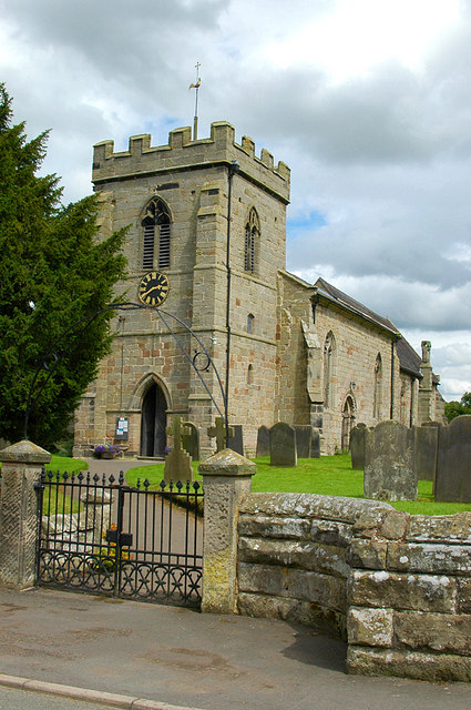
Stowe-by-Chartley
Stowe-by-Chartley is a village and civil parish in the Borough of Stafford, Staffordshire, England. According to the parish council, the parish includes...

Kingstone, Staffordshire
Kingstone is a village and civil parish within the English county of Staffordshire. == Population == The 2011 census recorded a population of 629 in 249...

Gratwich
Gratwich is a village and former civil parish, now in the parish of Kingstone, in the East Staffordshire district, in the county of Staffordshire, England...

Amerton
Amerton is a small village in the Borough of Stafford, Staffordshire, England, situated on the A518 road between Stafford and Uttoxeter. The population...
Have you been to Anglesea Coppice?
Leave your review of Anglesea Coppice below (or comments, questions and feedback).