West Barnham
Settlement in Sussex Arun
England
West Barnham
West Barnham is a charming village located in the county of Sussex, England. Situated approximately 5 miles north of the historic town of Arundel, it lies in close proximity to the scenic South Downs National Park. With a population of around 1,500 residents, West Barnham offers a peaceful and tight-knit community atmosphere.
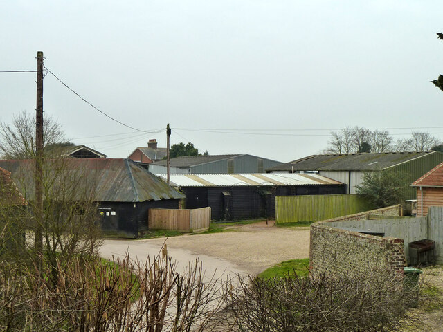
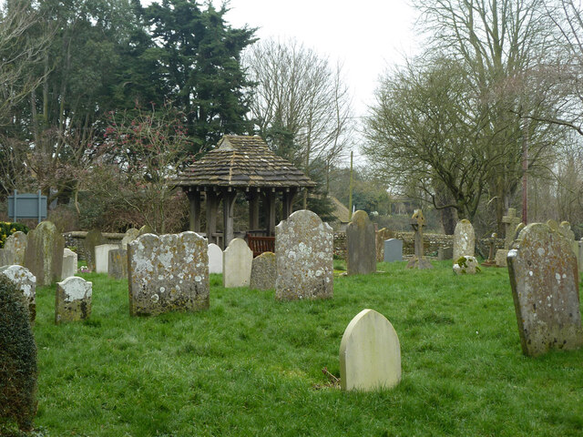
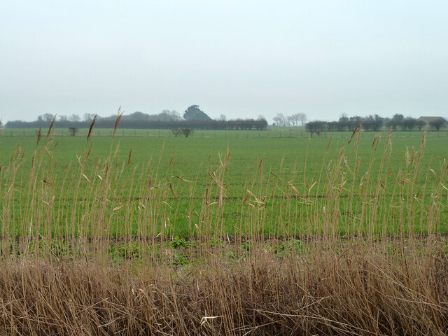
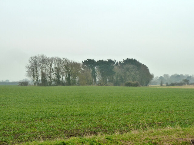
The village boasts a picturesque setting, with its quaint cottages and beautiful countryside surroundings. The local architecture reflects the area's rich history, with a mix of traditional timber-framed buildings and more modern constructions.
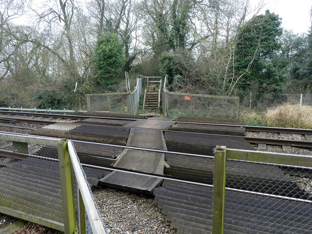
West Barnham is well-served by amenities, including a village shop, a post office, and a cozy pub, where locals and visitors alike can enjoy a refreshing drink or a traditional meal. The village also benefits from excellent transport links, with a nearby train station providing easy access to London and other major cities.
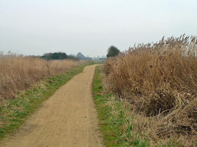
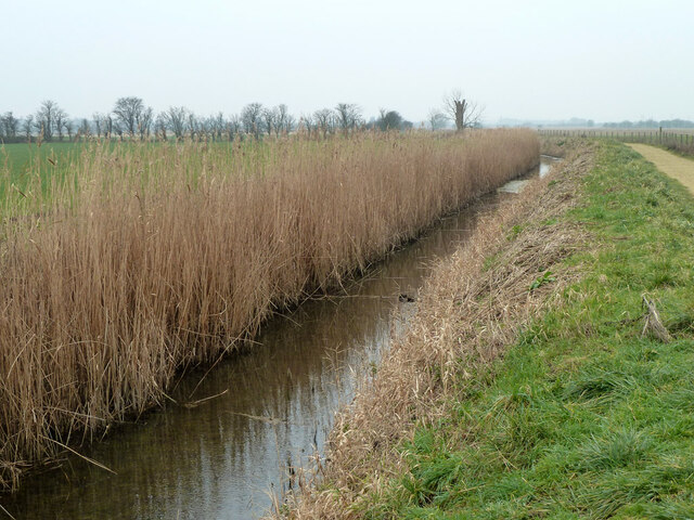
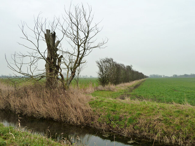
Nature enthusiasts will find themselves in paradise in West Barnham, as the village is surrounded by stunning natural landscapes. The South Downs National Park offers endless opportunities for outdoor activities, such as hiking, cycling, and horse riding. The nearby Arundel Wildfowl and Wetland Centre is a favorite attraction, providing a haven for various bird species and offering educational exhibits.
Overall, West Barnham is a delightful village that perfectly captures the essence of rural Sussex. Its idyllic setting, friendly community, and natural beauty make it an appealing destination for both residents and visitors seeking a peaceful retreat in the heart of the English countryside.
If you have any feedback on the listing, please let us know in the comments section below.
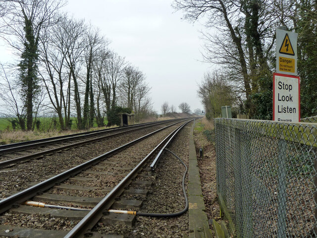
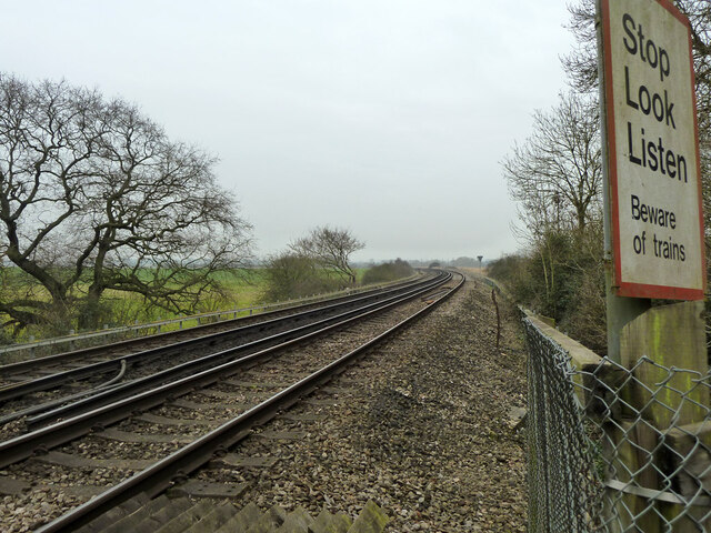
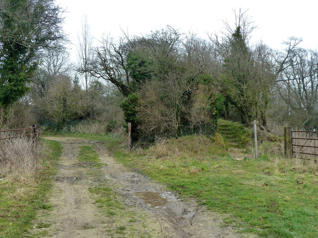
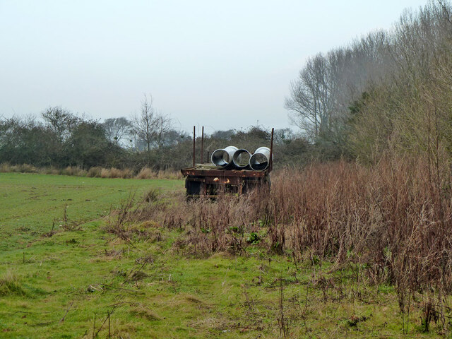
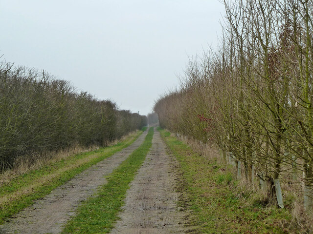
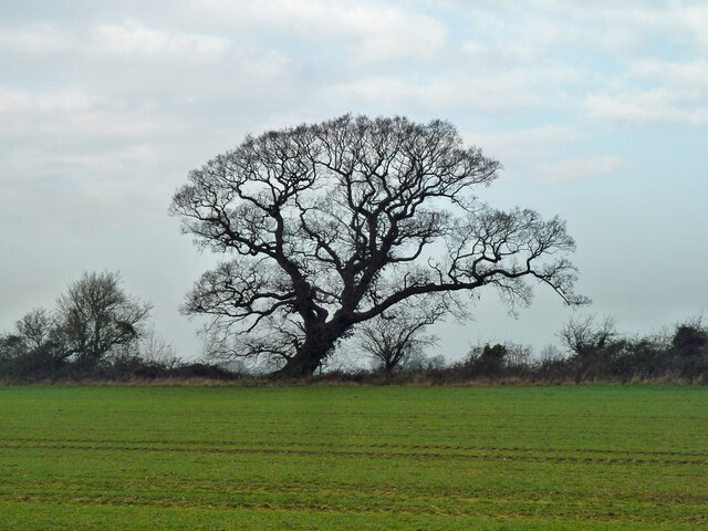
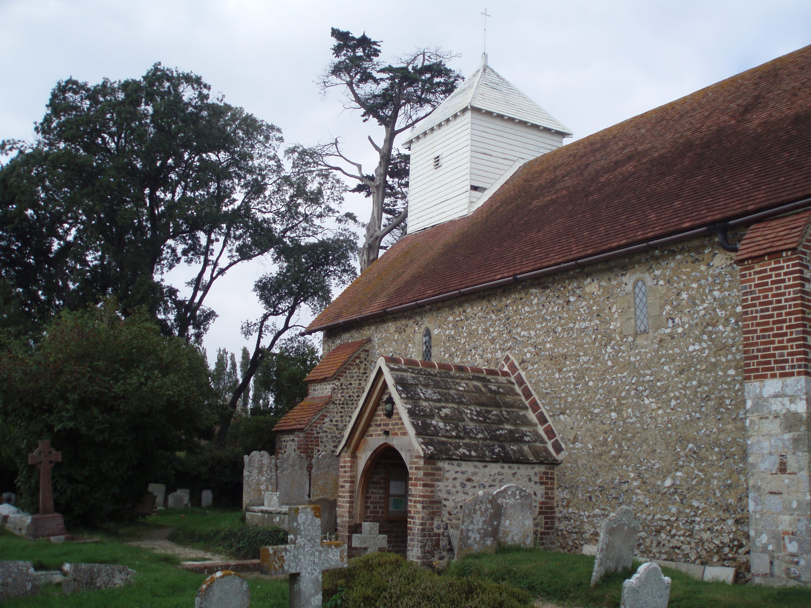
West Barnham Images
Images are sourced within 2km of 50.831518/-0.64061351 or Grid Reference SU9504. Thanks to Geograph Open Source API. All images are credited.
West Barnham is located at Grid Ref: SU9504 (Lat: 50.831518, Lng: -0.64061351)
Administrative County: West Sussex
District: Arun
Police Authority: Sussex
What 3 Words
///lawn.stones.ready. Near Barnham, West Sussex
Nearby Locations
Related Wikis

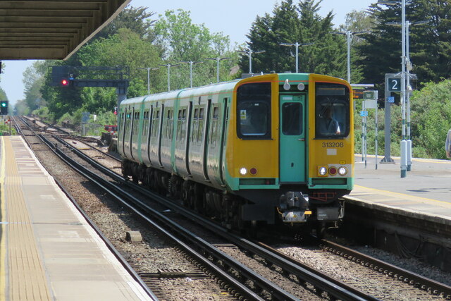
Barnham railway station
Barnham railway station is in Barnham, West Sussex, England around 5 miles (8.0 km) north of Bognor Regis. It is located on the West Coastway Line between...
Barnham, West Sussex
Barnham is a village, Anglican parish and former civil parish, now in the civil parish of Barnham and Eastergate, in the Arun district of West Sussex,...

St Philip Howard Catholic High School
St Philip Howard Catholic School is an Ofsted rated "outstanding' secondary school for 11-18 year olds located between Chichester and Arundel, in the town...
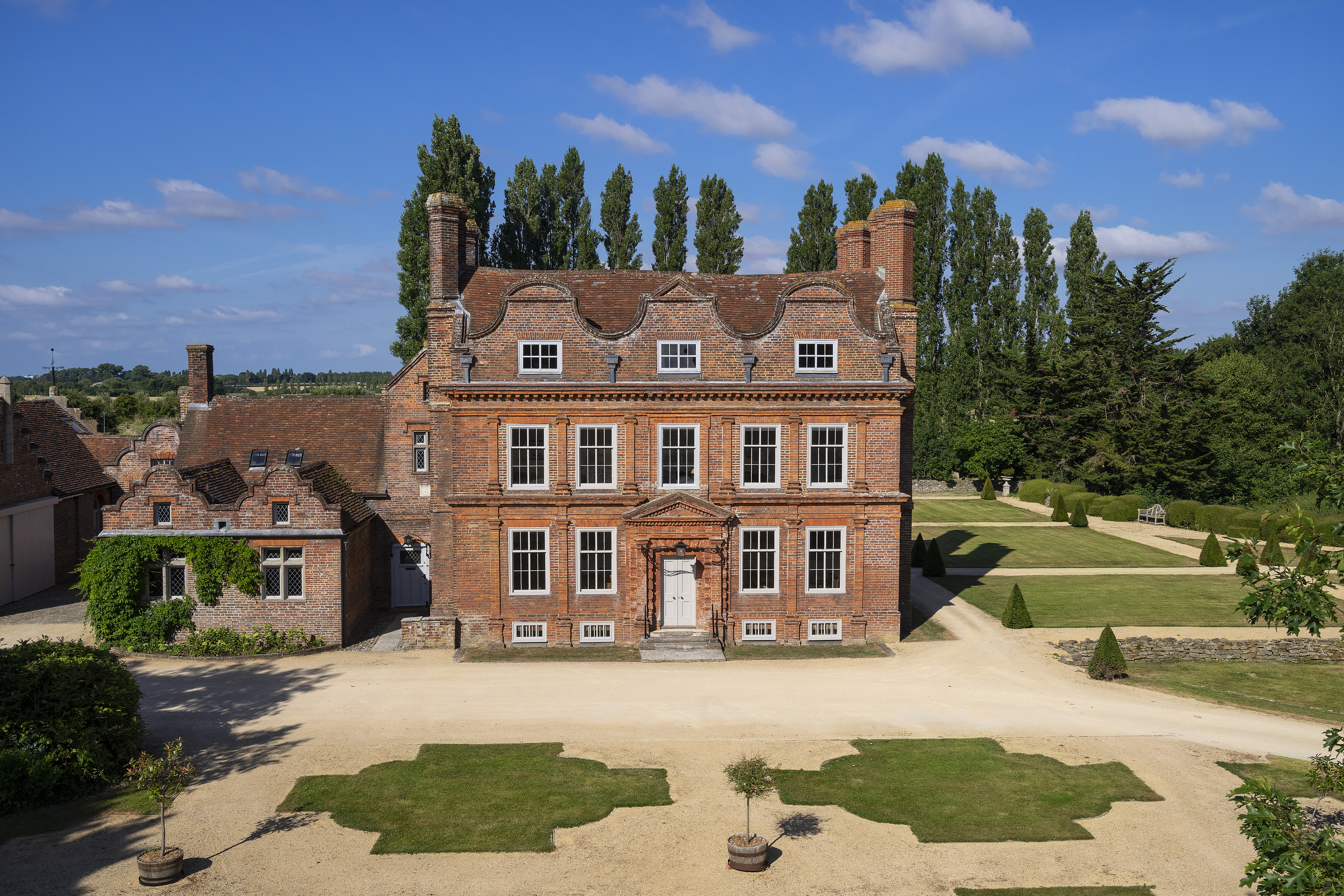
Barnham Court
Barnham Court is a 17th-century Artisan Mannerism house in Barnham, West Sussex, England. It is a Grade I listed building, and has many features similar...

John Baker's Mill, Barnham
John Baker's Mill (or Barnham Windmill) is a grade II listed tower mill at Barnham, Sussex, England, which was under restoration and is now to be converted...

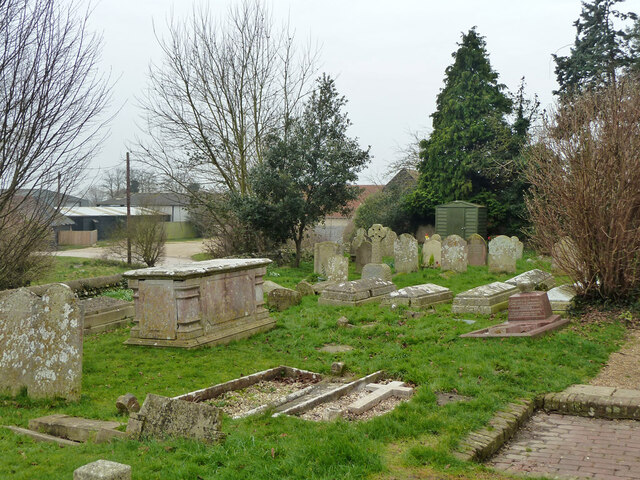
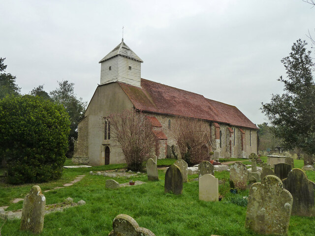
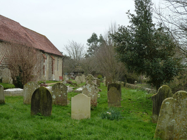
St George's Church, Eastergate
St George's Church is an Anglican church in the village of Eastergate in West Sussex, England. It is the ancient parish church of Eastergate, although...

Eastergate
Eastergate is a village, ecclesiastical parish and former civil parish, now in the parish of Barnham and Eastergate, in the Arun district of West Sussex...
South Coast Plain
The South Coast Plain is a natural region in England running along the central south coast in the counties of East and West Sussex and Hampshire. It has...
Nearby Amenities
Located within 500m of 50.831518,-0.64061351Have you been to West Barnham?
Leave your review of West Barnham below (or comments, questions and feedback).