West Bank Dock Estate

Settlement in Lancashire

England

West Bank Dock Estate

Trans Pennine Way over Ditton Brook, Hale Bank
Trans Pennine Way over Ditton Brook, Hale Bank Credit: Colin Park

The requested URL returned error: 429 Too Many Requests

If you have any feedback on the listing, please let us know in the comments section below.

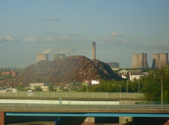
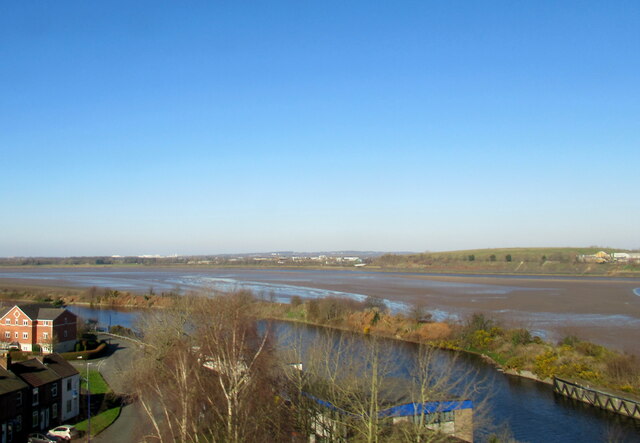
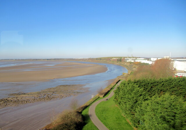
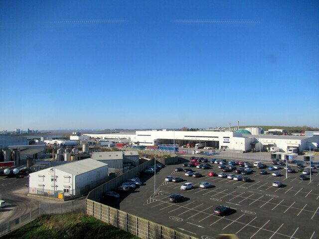
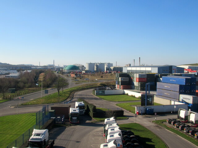
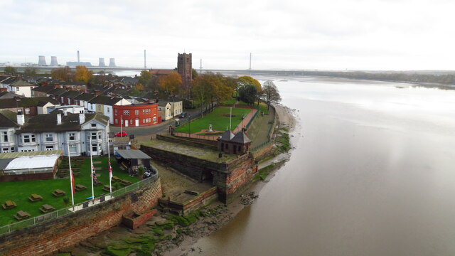
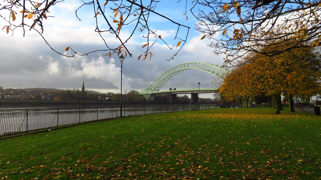
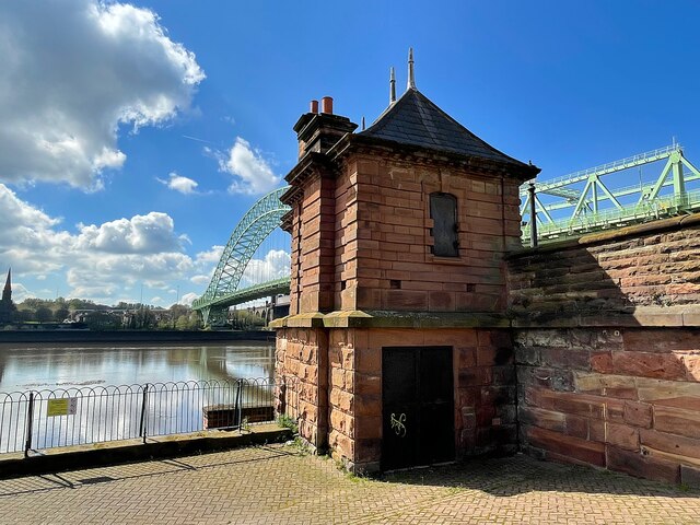
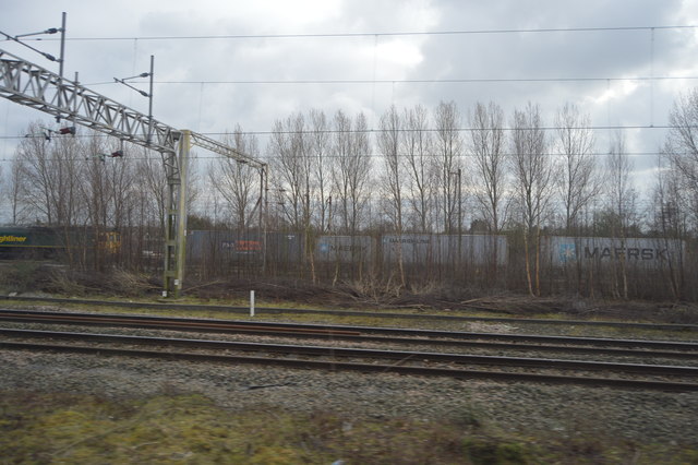
West Bank Dock Estate Images

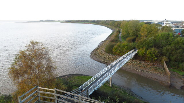
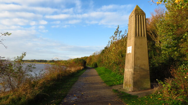
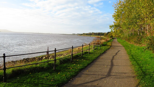
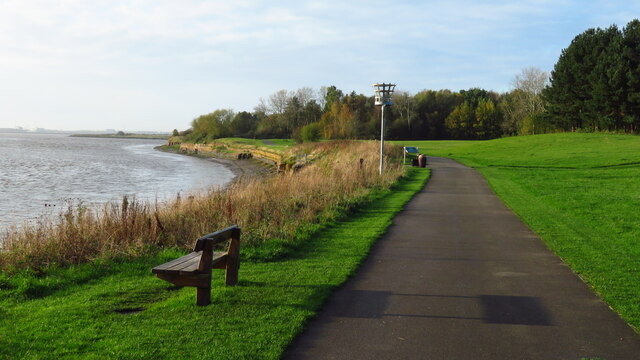
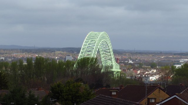
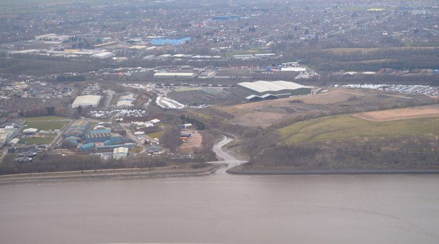
Images are sourced within 2km of 53.358203/-2.7600985 or Grid Reference SJ4984. Thanks to Geograph Open Source API. All images are credited.

Trans Pennine Way over Ditton Brook, Hale Bank
Obelisk on site of former navigation marker, Trans Pennine Way, Hale Bank
Trans Pennine Way heading SW towards Pickering's Pasture, Hale Bank
Trans Pennine Way at Pickering's Pasture, Hale Bank
Scrap metal heap
Scrap metal heap
The Manchester Ship Canal, Runcorn
The River Mersey from the Runcorn Bridge
Tesco Distribution Depot, Widnes
West Bank Dock Estate, Widnes
West Bank & Victoria Promenade from Silver Jubilee Bridge
Silver Jubilee Bridge from Victoria Promenade, West Bank
Silver Jubilee Bridge The bridge carries the A557 over the River Mersey and the Manchester Ship Canal. It was built as a replacement for the Runcorn Transporter Bridge and opened in 1961. It is grade II listed.
Silver Jubilee Bridge
The bridge carries the A557 over the River Mersey and the Manchester Ship Canal. It was built as a replacement for the Runcorn Transporter Bridge and opened in 1961. It is grade II listed.
Former power house for the Runcorn Transporter Bridge At the foot of the slipway to the former bridge. The replacement Silver Jubilee Bridge can be seen beyond the building.
Former power house for the Runcorn Transporter Bridge
At the foot of the slipway to the former bridge. The replacement Silver Jubilee Bridge can be seen beyond the building.
Silver Jubilee Bridge from Weston Rd, Runcorn
Mouth of Ditton Brook
Rough grassland
Rough grassland
Container in sidings
Containers in sidings
Show me another place!

West Bank Dock Estate is located at Grid Ref: SJ4984 (Lat: 53.358203, Lng: -2.7600985)

Unitary Authority: Halton

Police Authority: Cheshire

What 3 Words

///glitz.boost.farms. Near Widnes, Cheshire

Nearby Locations

West Bank Dock Estate

Related Wikis

Ball o' Ditton

Ball o' Ditton is a village in Cheshire, England. == References == == External links ==

St Michael's Church, Ditton

St Michael's Church is in St Michael's Road, Ditton, Widnes, Halton, Cheshire, England. It is recorded in the National Heritage List for England as a designated...

Ditton Junction rail crash

Ditton Junction is near Widnes on the Liverpool spur of the former London and North Western Railway. This complex junction had eight running lines and...

Ditton Mill railway station

Ditton Mill railway station was on the western edge of Widnes, England, that operated from 1851–1871. It was located east of Ditton Brook on the border...

Nearby Amenities

Located within 500m of 53.358203,-2.7600985
Speed Camera
Direction: 245
Maxspeed: 70 mph
Lat/Long: 53.3594022/-2.7602948
Mini Roundabout
Direction: clockwise
Lat/Long: 53.3587744/-2.7674938
Created By: Merkaartor 0.13
Lat/Long: 53.3551301/-2.7643167
Speed Camera
Direction: 65
Maxspeed: 70 mph
Lat/Long: 53.3601132/-2.7585613
Railway: switch
Lat/Long: 53.3562665/-2.7664905
Railway: switch
Lat/Long: 53.3563153/-2.7663987
Railway: switch
Lat/Long: 53.356316/-2.7654291
Railway: switch
Lat/Long: 53.3563507/-2.7635314
Railway: switch
Lat/Long: 53.3563449/-2.7657534
Railway: switch
Lat/Long: 53.3563638/-2.764355
Parking
St. Michael's Parish Car Park
Lat/Long: 53.3618961/-2.7633419
Bar
St. Michael's Private Club
Lat/Long: 53.3616512/-2.7632024
Christlematic Enigeering Ltd
Addr City: Widnes
Addr Housename: Block D
Addr Housenumber: 7
Addr Postcode: WA8 8TL
Addr Street: Oldgate
Industrial: machine_shop
Website: http://www.christlematic.co.uk/
Lat/Long: 53.3591702/-2.7647434
Power: tower
Lat/Long: 53.3606308/-2.7575774
Power: tower
Lat/Long: 53.3580652/-2.7604029
Power: tower
Lat/Long: 53.3579719/-2.7634512
Power: tower
Lat/Long: 53.3581073/-2.7670689
Railway: switch
Lat/Long: 53.3562837/-2.7572354
Railway: switch
Lat/Long: 53.3561155/-2.7663108
Railway: buffer_stop
Lat/Long: 53.3559486/-2.759622
Railway: buffer_stop
Lat/Long: 53.3559132/-2.7596218
Railway: switch
Lat/Long: 53.356062/-2.7658625
Traffic Signals
Traffic Signals: signal
Traffic Signals Direction: forward
Lat/Long: 53.3575628/-2.767519
Ditton East Junction
Railway: junction
Lat/Long: 53.3563316/-2.7656525
Railway: level_crossing
Lat/Long: 53.3558805/-2.7643952
Railway: level_crossing
Lat/Long: 53.3559111/-2.7643866
Traffic Signals
Traffic Signals: signal
Traffic Signals Direction: backward
Lat/Long: 53.3574062/-2.7671579
Bus Stop
Marshgate
Bin: yes
Bus: yes
Departures Board: timetable
Public Transport: platform
Shelter: yes
Lat/Long: 53.3592166/-2.767383
Barrier: cycle_barrier
Lat/Long: 53.3611554/-2.7622038
Traffic Calming: bump
Lat/Long: 53.3591986/-2.7608687
Traffic Calming: bump
Lat/Long: 53.3599861/-2.7614644
Traffic Calming: bump
Lat/Long: 53.3606895/-2.7619943
Traffic Calming: bump
Lat/Long: 53.3610116/-2.7622458
Traffic Calming: table
Lat/Long: 53.3615424/-2.7626471
Traffic Calming: table
Lat/Long: 53.3619893/-2.7629818
Direction: 245
Traffic Sign: variable_message
Lat/Long: 53.3605134/-2.7570083
Waste Basket
Colour: #000000
Material: metal
Lat/Long: 53.3599709/-2.7591371
Waste Basket
Colour: #000000
Material: metal
Lat/Long: 53.3595411/-2.7597365
Crossing
Crossing: unmarked
Crossing Island: no
Crossing Markings: no
Tactile Paving: yes
Lat/Long: 53.3583113/-2.7602088
The data included in this document is from www.openstreetmap.org. The data is made available under ODbL.

Have you been to West Bank Dock Estate?

Leave your review of West Bank Dock Estate below (or comments, questions and feedback).