Top-o-th' Hill
Settlement in Cheshire
England
Top-o-th' Hill
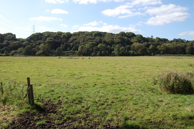
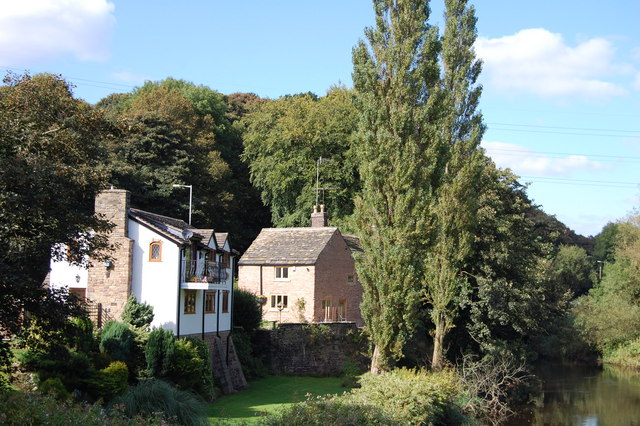
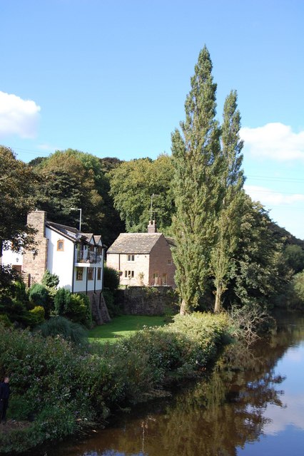
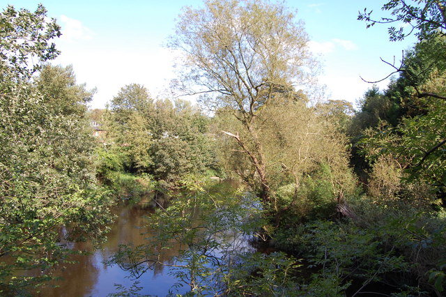
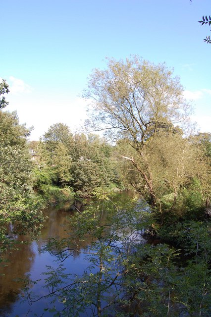
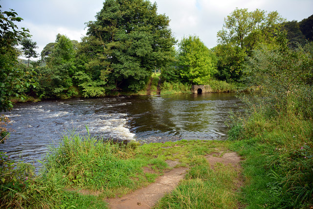
Top-o-th' Hill is a small village located in the county of Cheshire, England. Situated on the outskirts of the town of Macclesfield, this quaint settlement is known for its picturesque surroundings and peaceful atmosphere. The village is nestled among rolling hills and fields, providing residents and visitors with stunning views of the Cheshire countryside.
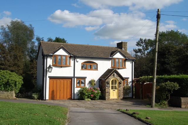
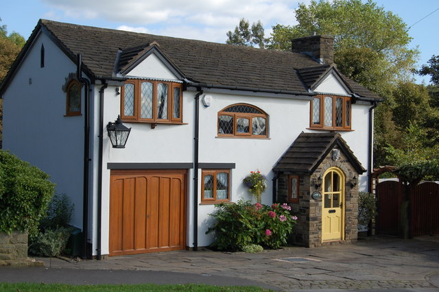
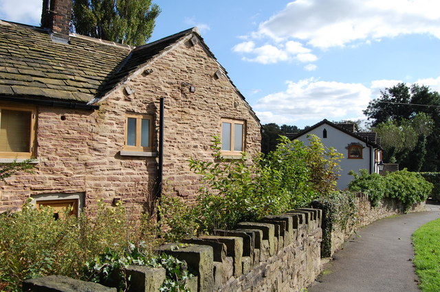
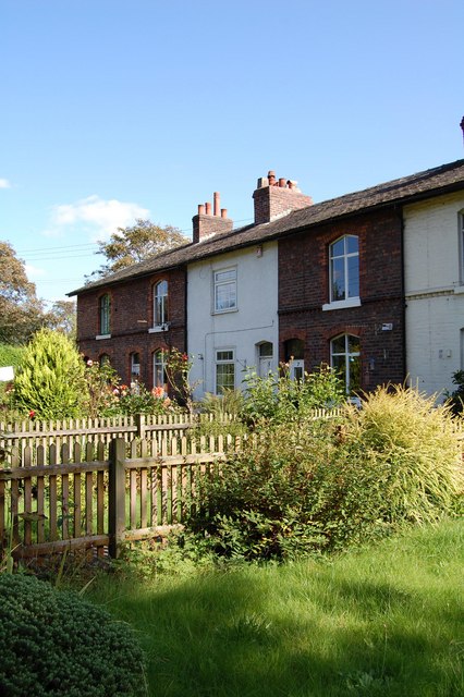
Despite its small size, Top-o-th' Hill has a close-knit community that prides itself on maintaining a strong sense of community spirit. The village is home to a handful of charming cottages and houses, each exuding a traditional English countryside charm. Many of these properties are constructed using local Cheshire red brick, adding to the village's unique character.
Top-o-th' Hill offers a range of amenities to cater to the needs of its residents. The village has a local pub, which serves as a gathering place for locals and a hub of social activity. Additionally, there is a village hall that hosts various events and activities throughout the year, including community gatherings, charity fundraisers, and local meetings.
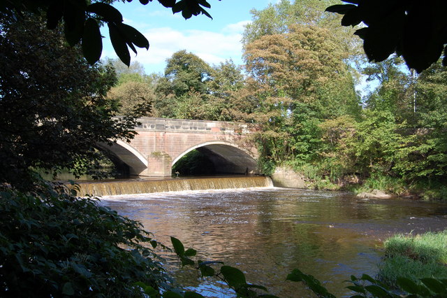
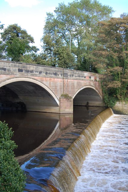
The village is surrounded by beautiful natural landscapes, making it an ideal location for outdoor enthusiasts. There are several walking and cycling trails that wind through the nearby hills, providing opportunities for residents and visitors to explore and enjoy the stunning scenery.
Overall, Top-o-th' Hill is a charming village in Cheshire that offers a peaceful and idyllic setting for its residents. With its strong community spirit and beautiful natural surroundings, it is a place that truly embodies the charm and beauty of rural England.
If you have any feedback on the listing, please let us know in the comments section below.
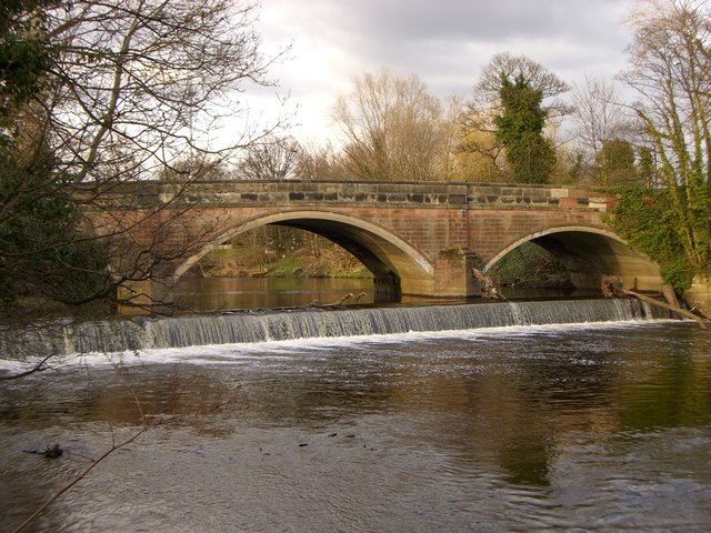
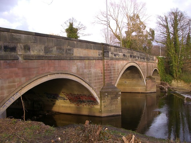
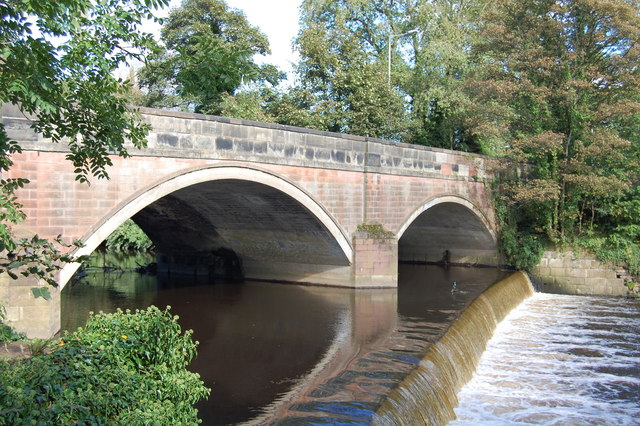
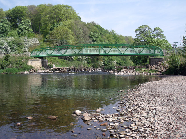
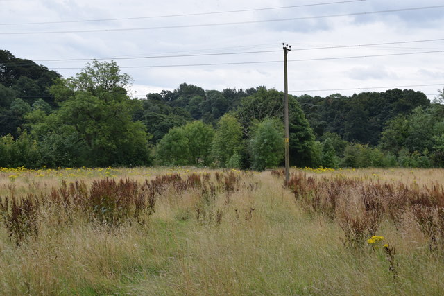
Top-o-th' Hill Images
Images are sourced within 2km of 53.418702/-2.0901639 or Grid Reference SJ9491. Thanks to Geograph Open Source API. All images are credited.
Top-o-th' Hill is located at Grid Ref: SJ9491 (Lat: 53.418702, Lng: -2.0901639)
Unitary Authority: Stockport
Police Authority: Greater Manchester
What 3 Words
///mouse.could.money. Near Bredbury, Manchester
Nearby Locations
Related Wikis
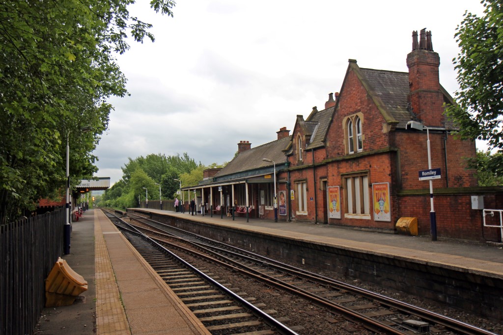
Romiley railway station
Romiley railway station serves Romiley, in the Metropolitan Borough of Stockport, Greater Manchester, England. == History == The station was built by the...

The Works Recording Studio
The Works Recording Studio was a recording studio located in Stockport, Greater Manchester, UK between 1998 and 2007. Built in a Victorian rectory it...
Elder Mill, Romiley
Elder Mill, Romiley was a cotton spinning mill in Romiley, Stockport, Greater Manchester. It was taken over by the Lancashire Cotton Corporation in the...

Romiley
Romiley is a village in the Metropolitan Borough of Stockport, Greater Manchester, England. Historically part of Cheshire, it borders Marple, Bredbury...
Nearby Amenities
Located within 500m of 53.418702,-2.0901639Have you been to Top-o-th' Hill?
Leave your review of Top-o-th' Hill below (or comments, questions and feedback).