Greave
Settlement in Cheshire
England
Greave
Greave is a small village located in the county of Cheshire, England. It is situated in the eastern part of the county, near the town of Macclesfield. The village is primarily residential, with a population of around 500 residents.
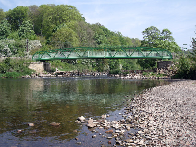
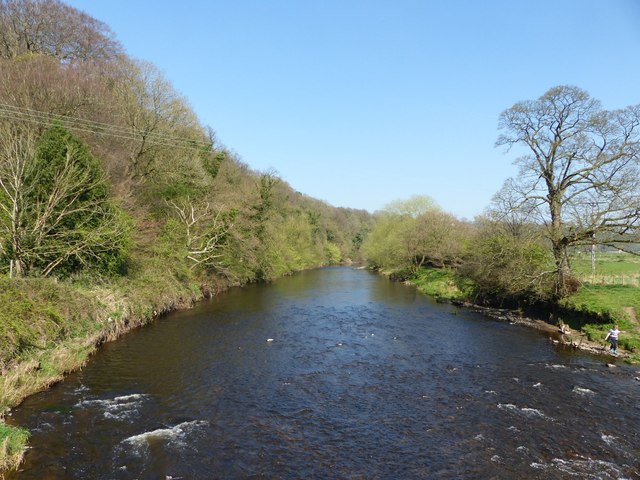
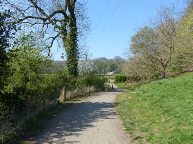
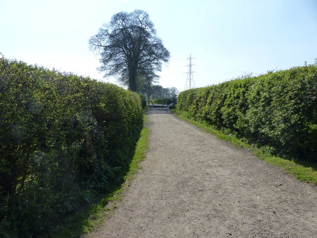
Greave is known for its picturesque countryside, offering beautiful views of the surrounding hills and fields. The village is nestled in a rural setting, providing a peaceful and idyllic environment for its residents. The landscape is characterized by rolling hills, charming meadows, and quaint country lanes.
Although small in size, Greave has a close-knit community that takes pride in its local heritage. The village features a few amenities, including a village hall, a primary school, and a local pub. The pub serves as a hub for social gatherings and community events, fostering a sense of camaraderie among residents.
The village benefits from its proximity to nearby towns and cities. Macclesfield, located just a short distance away, provides access to a wider range of amenities and services, including shops, supermarkets, and leisure facilities. The village is also well-connected to the rest of the county through a network of roads and public transportation.
Greave offers a tranquil and charming living environment for those seeking a peaceful countryside lifestyle. Its scenic surroundings and community spirit make it an attractive place to live for individuals and families alike.
If you have any feedback on the listing, please let us know in the comments section below.
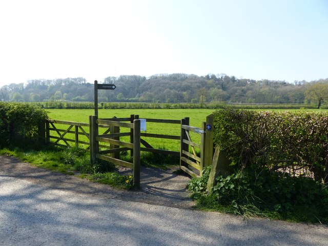
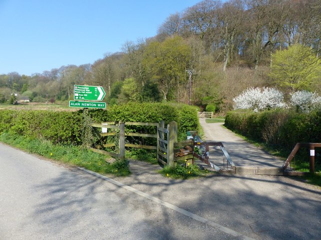
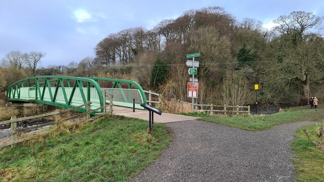
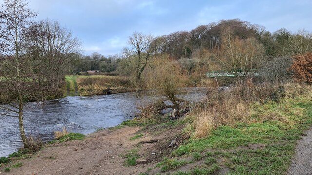
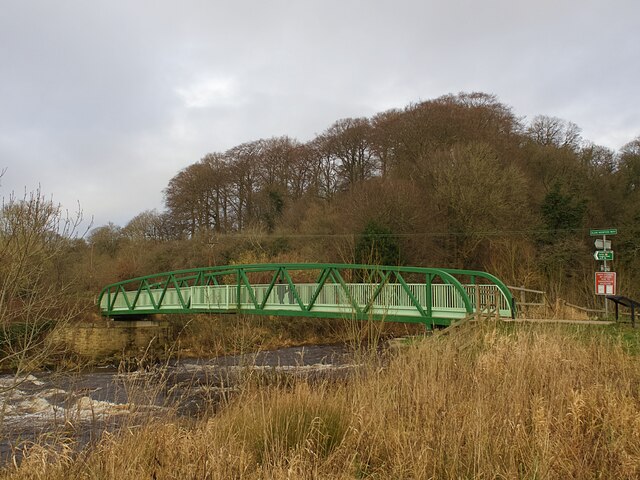
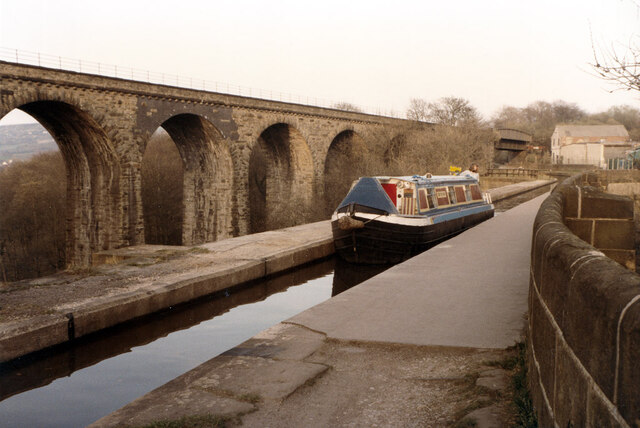
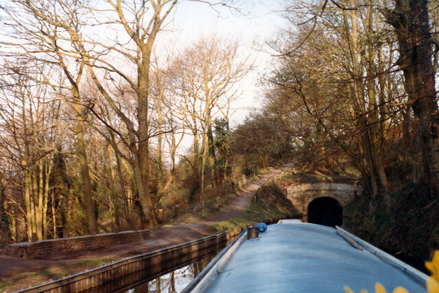
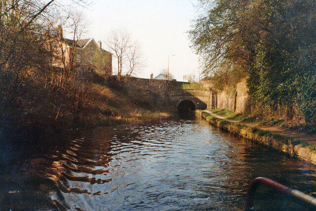
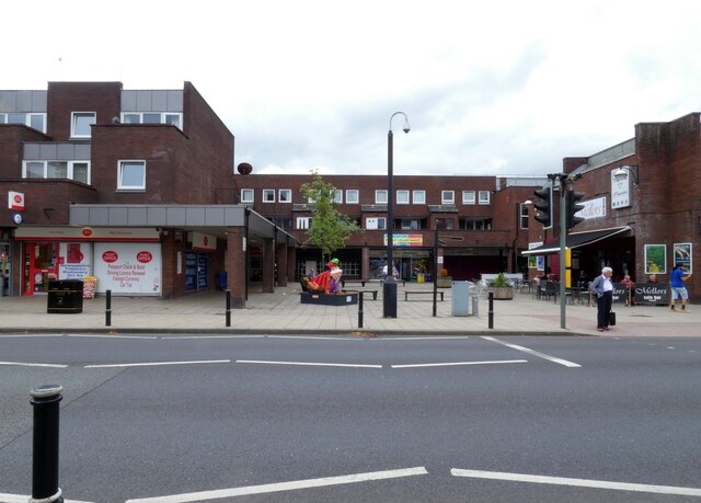
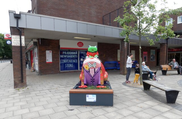
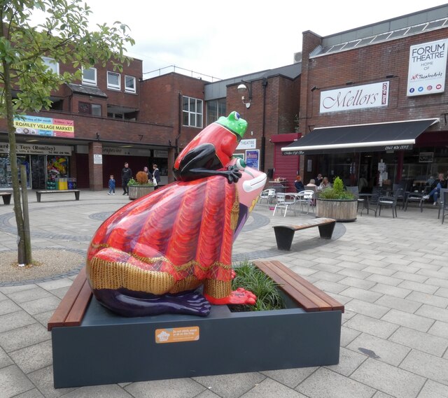
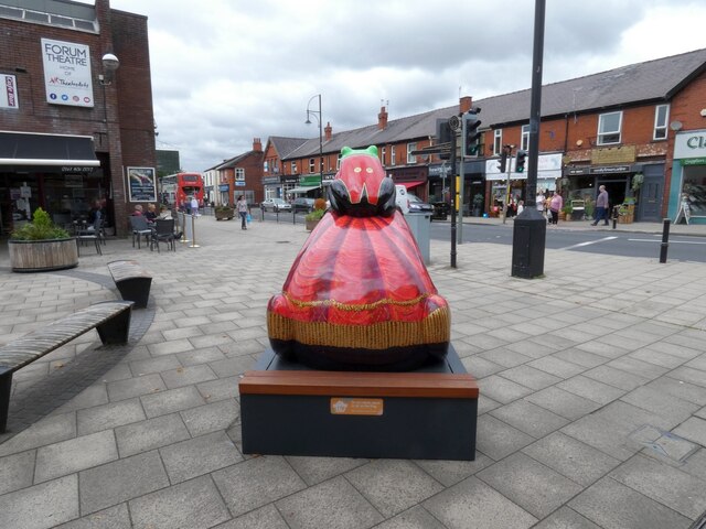
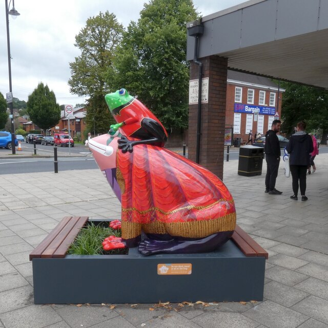
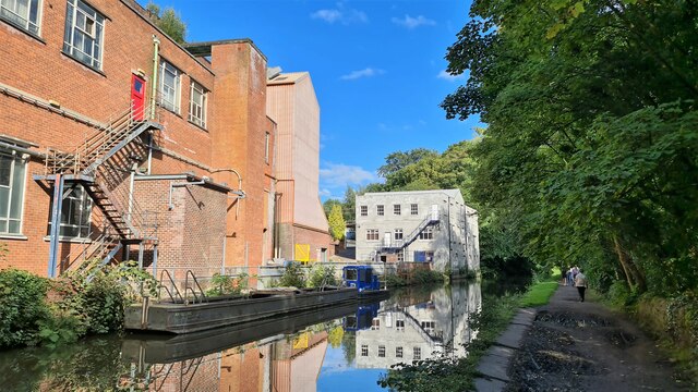
Greave Images
Images are sourced within 2km of 53.422905/-2.0824683 or Grid Reference SJ9491. Thanks to Geograph Open Source API. All images are credited.
Greave is located at Grid Ref: SJ9491 (Lat: 53.422905, Lng: -2.0824683)
Unitary Authority: Stockport
Police Authority: Greater Manchester
What 3 Words
///groups.line.lofts. Near Haughton Green, Manchester
Nearby Locations
Related Wikis

Woodley, Greater Manchester
Woodley is a suburb in the Metropolitan Borough of Stockport, Greater Manchester, England. It is situated on the east side of the Peak Forest Canal, next...

Woodley railway station
Woodley railway station serves the suburb of Woodley in Stockport, Greater Manchester, England. The station is 9+1⁄4 miles (14.9 km) east of Manchester...
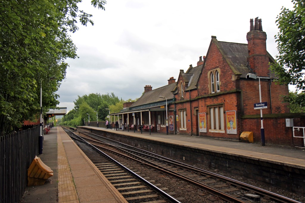
Romiley railway station
Romiley railway station serves Romiley, in the Metropolitan Borough of Stockport, Greater Manchester, England. == History == The station was built by the...

Romiley
Romiley is a village in the Metropolitan Borough of Stockport, Greater Manchester, England. Historically part of Cheshire, it borders Marple, Bredbury...

The Works Recording Studio
The Works Recording Studio was a recording studio located in Stockport, Greater Manchester, UK between 1998 and 2007. Built in a Victorian rectory it...
Elder Mill, Romiley
Elder Mill, Romiley was a cotton spinning mill in Romiley, Stockport, Greater Manchester. It was taken over by the Lancashire Cotton Corporation in the...

Wood Mill, Woodley
Wood Mill was a mill located by the River Tame in Stockport, Cheshire. Originally built in the early to mid 19th century and used as a bone mill. After...

Chadkirk Chapel
Chadkirk Chapel is a restored historic chapel near Romiley in the Metropolitan Borough of Stockport in Greater Manchester, England. It is recorded in...
Nearby Amenities
Located within 500m of 53.422905,-2.0824683Have you been to Greave?
Leave your review of Greave below (or comments, questions and feedback).