Romiley
Settlement in Cheshire
England
Romiley
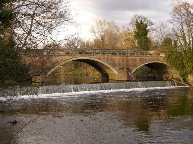
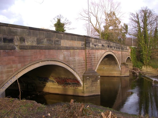
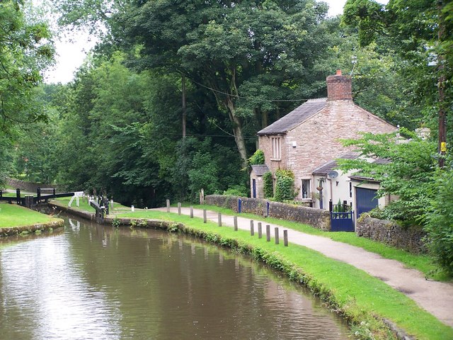
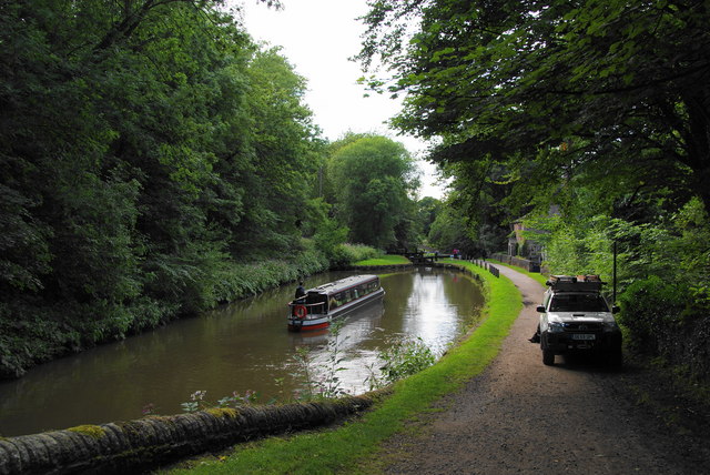
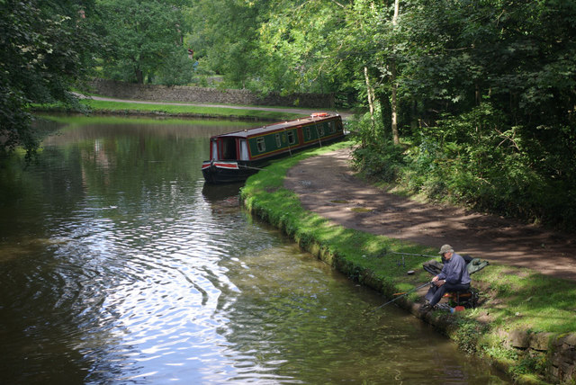
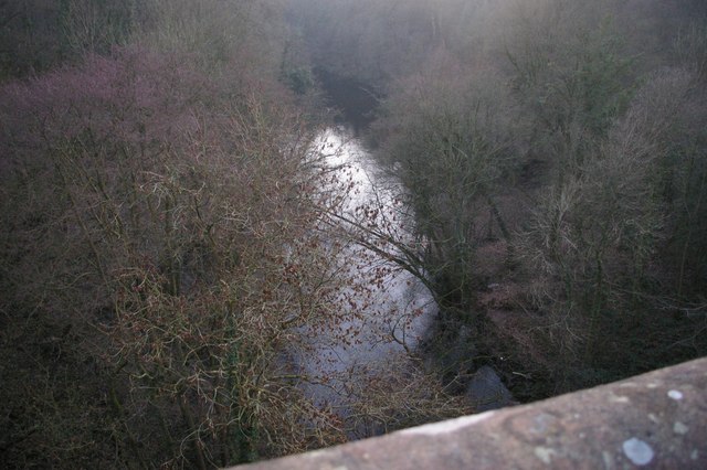
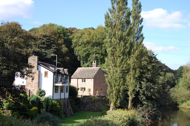
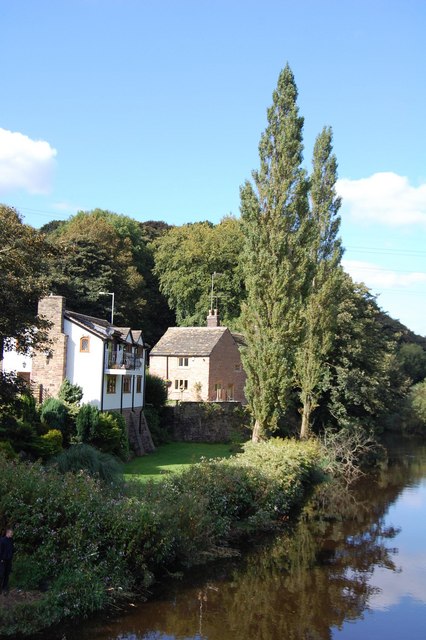
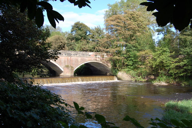
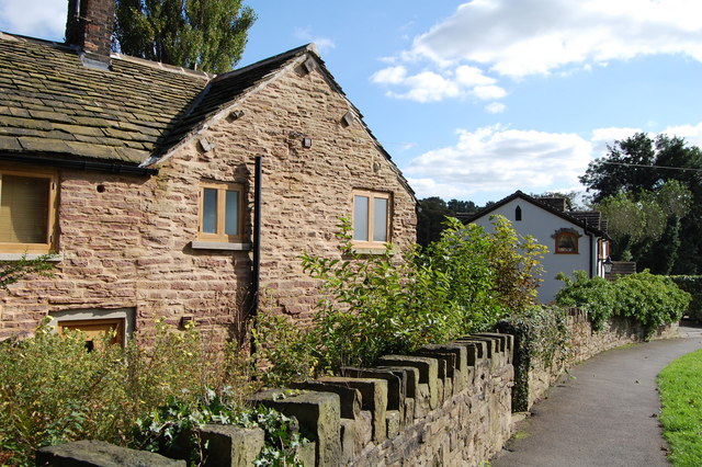
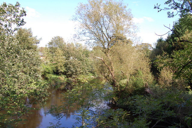
Romiley is a small suburban town located within the Cheshire region of England, approximately seven miles southeast of Manchester city center. Situated on the banks of the River Goyt, it falls under the Metropolitan Borough of Stockport. Romiley is known for its picturesque setting, with rolling hills and green spaces surrounding the town.
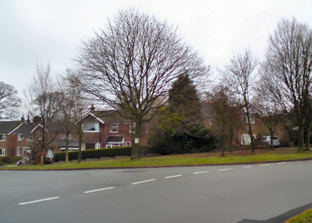
The town itself is characterized by a mix of residential areas, local shops, and amenities. It has a population of around 15,000 people, and the community is close-knit and friendly. Romiley offers a range of housing options, from traditional terraced houses to modern developments, catering to a diverse demographic.
One of the town's highlights is Romiley Forum, a vibrant community center that hosts various events and activities, including theater productions, live music performances, and art exhibitions. The nearby Romiley Golf Club is a favorite destination for golf enthusiasts, offering an 18-hole course set against the scenic backdrop of the countryside.
Transportation in Romiley is accessible, with regular train services connecting the town to Manchester and other nearby towns. The town also benefits from a well-connected road network, making it convenient for commuters and visitors alike.
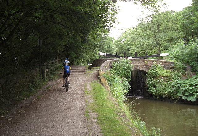
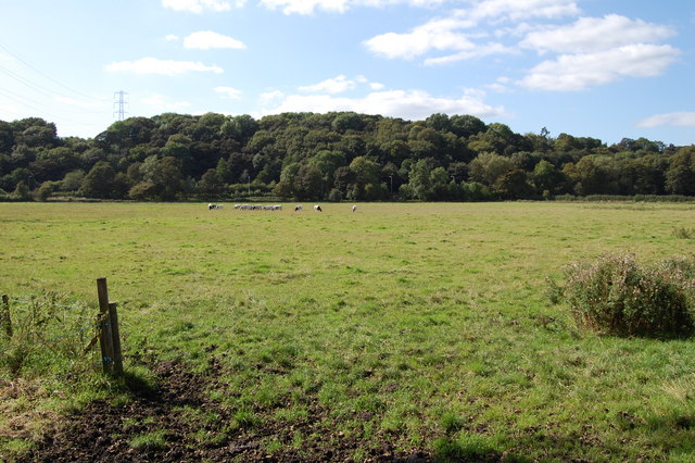
Romiley is blessed with natural beauty, and it boasts several parks and green spaces, including Romiley Park and Etherow Country Park. These areas offer opportunities for leisurely walks, picnics, and recreational activities, attracting both locals and visitors.
Overall, Romiley provides a pleasant and peaceful living environment, combining the charm of a small town with easy access to the amenities and cultural offerings of nearby urban centers.
If you have any feedback on the listing, please let us know in the comments section below.
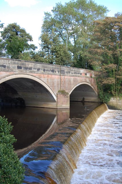
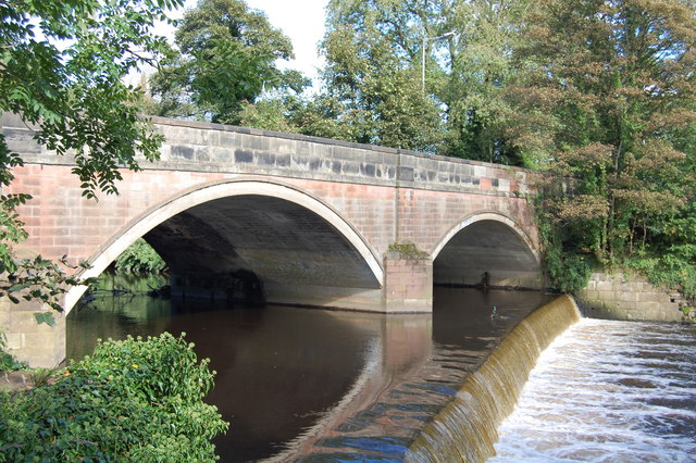
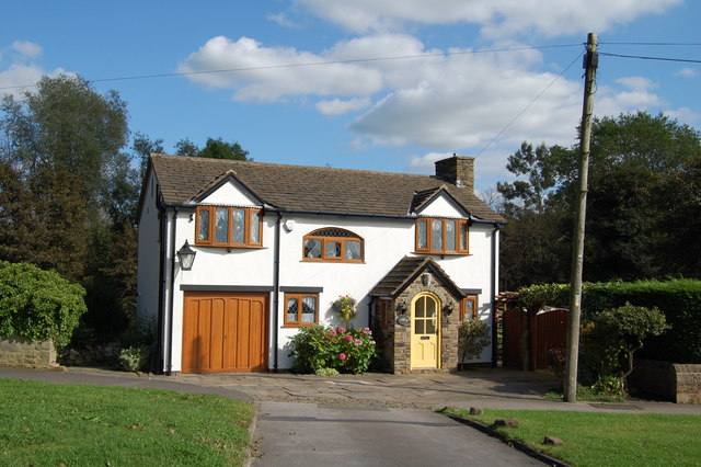
Romiley Images
Images are sourced within 2km of 53.416843/-2.086482 or Grid Reference SJ9491. Thanks to Geograph Open Source API. All images are credited.
Romiley is located at Grid Ref: SJ9491 (Lat: 53.416843, Lng: -2.086482)
Unitary Authority: Stockport
Police Authority: Greater Manchester
What 3 Words
///sits.zips.issue. Near Bredbury, Manchester
Nearby Locations
Related Wikis
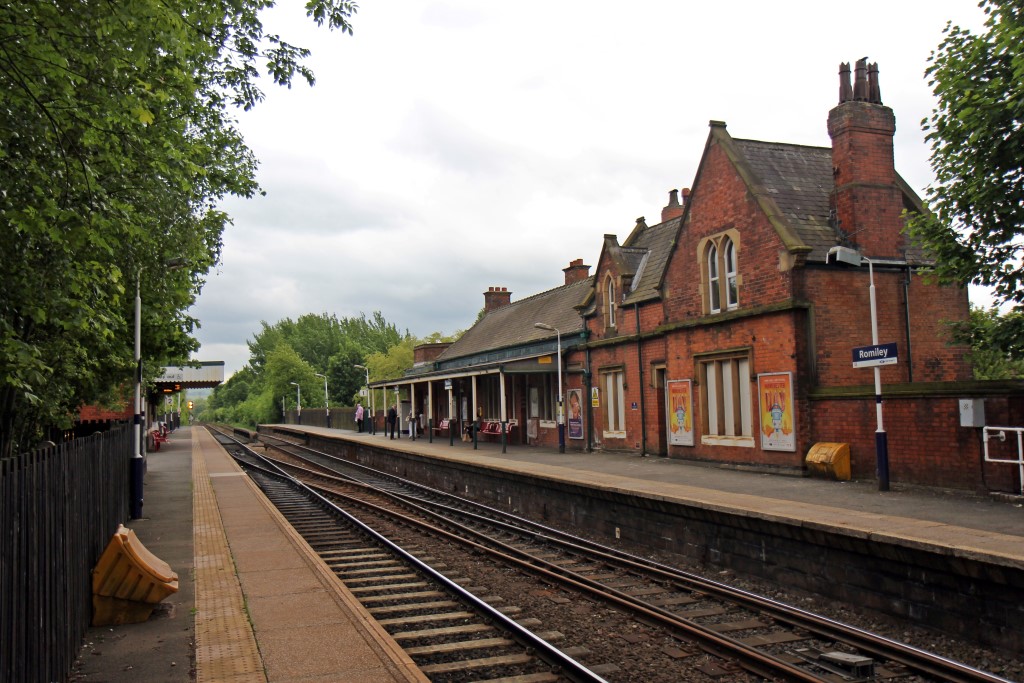
Romiley railway station
Romiley railway station serves Romiley, in the Metropolitan Borough of Stockport, Greater Manchester, England. It is sited at a junction of two parts of...

Romiley
Romiley is a village in the Metropolitan Borough of Stockport, Greater Manchester, England. Historically part of Cheshire, it borders Marple, Bredbury...

Elder Mill, Romiley
Elder Mill, Romiley was a cotton spinning mill in Romiley, Stockport, Greater Manchester. It was taken over by the Lancashire Cotton Corporation in the...

Chadkirk Chapel
Chadkirk Chapel is a restored historic chapel near Romiley in the Metropolitan Borough of Stockport in Greater Manchester, England. It is recorded in...
Nearby Amenities
Located within 500m of 53.416843,-2.086482Have you been to Romiley?
Leave your review of Romiley below (or comments, questions and feedback).