Lane Ends
Settlement in Cheshire
England
Lane Ends
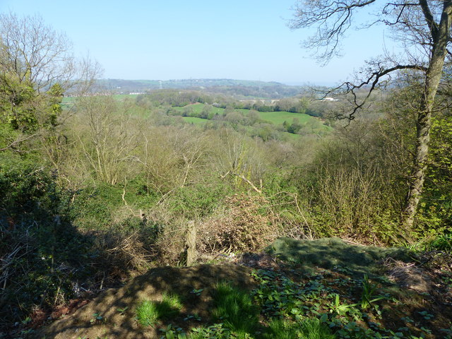
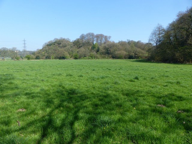
Lane Ends is a small village located in the borough of Cheshire East, in the county of Cheshire, England. It is situated approximately 5 miles northeast of the town of Congleton and 8 miles south of Macclesfield. The village is set in a rural area, surrounded by picturesque countryside and beautiful landscapes.
Lane Ends is primarily a residential area, with a small number of houses and cottages spread across its peaceful streets. The village is known for its tranquil atmosphere, making it an ideal place for those seeking a quiet and peaceful lifestyle. The community in Lane Ends is tight-knit and friendly, with a strong sense of community spirit.
Although relatively small, the village offers some amenities to its residents. These include a local pub, which serves as a social hub for the community, as well as a small convenience store for daily needs. For more extensive shopping and entertainment options, residents can easily access nearby towns and cities.
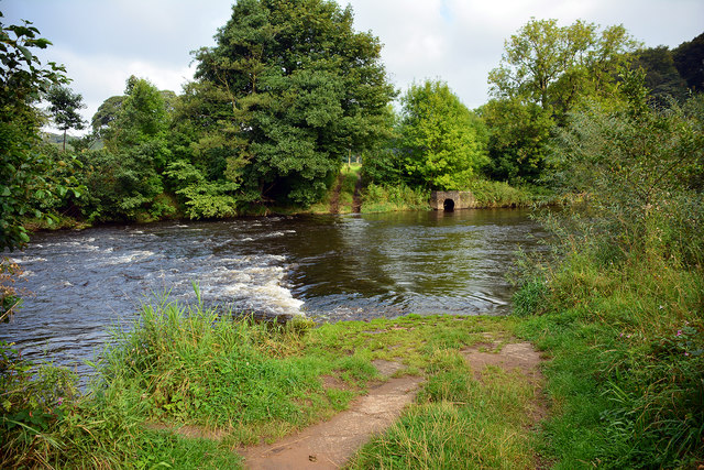
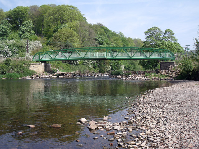
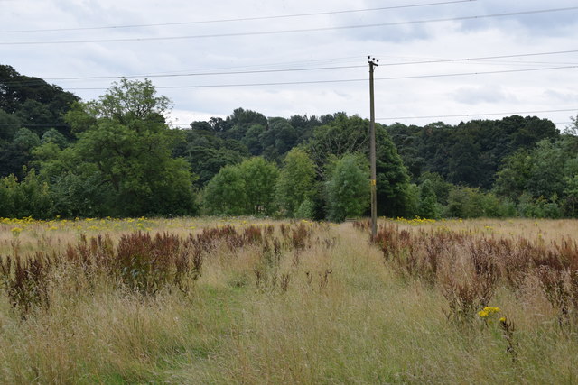
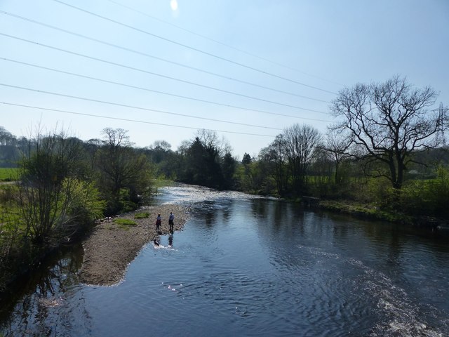
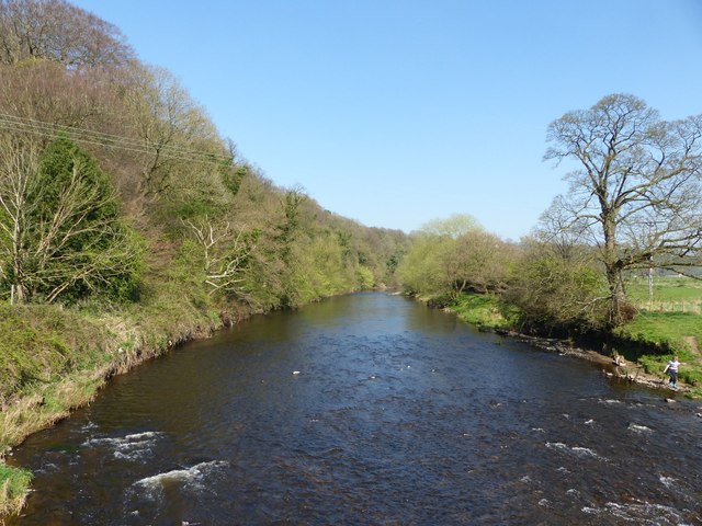
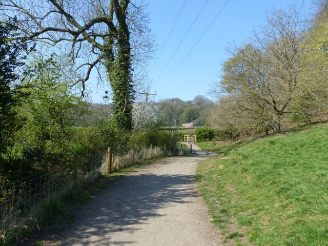
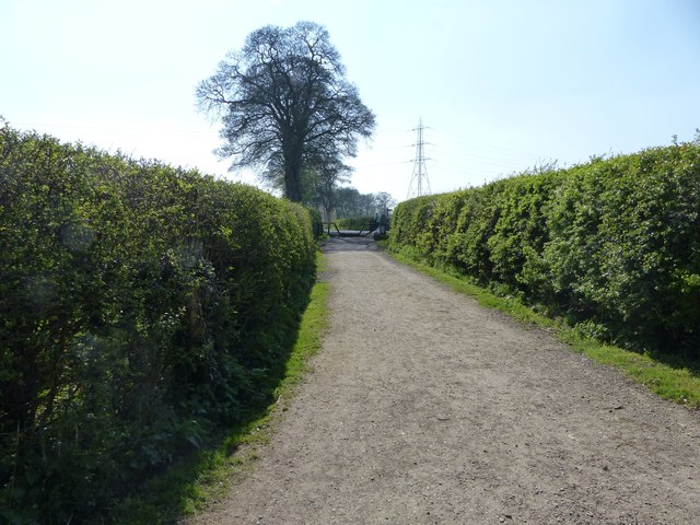
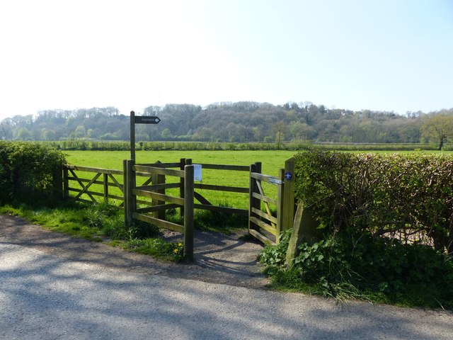
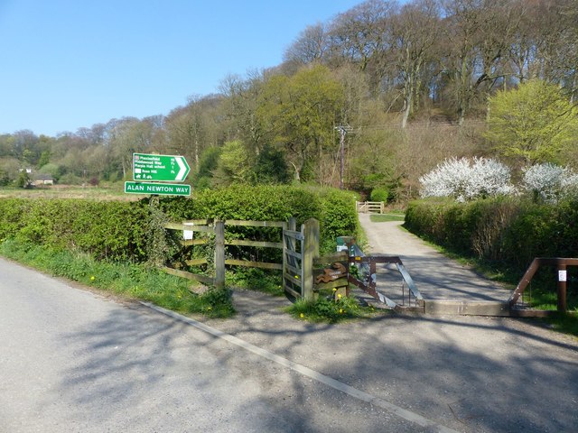
Nature lovers will find plenty to enjoy in Lane Ends, as it is surrounded by stunning countryside and offers easy access to walking and cycling trails. The village is also conveniently located near several parks and nature reserves, providing opportunities for outdoor activities and exploration.
Overall, Lane Ends is a charming and idyllic village, perfect for those seeking a peaceful and rural lifestyle while still being within close proximity to larger towns and cities.
If you have any feedback on the listing, please let us know in the comments section below.
Lane Ends Images
Images are sourced within 2km of 53.420496/-2.0819972 or Grid Reference SJ9491. Thanks to Geograph Open Source API. All images are credited.
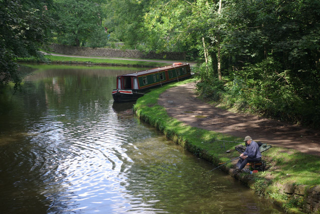
![Lock no. 1, Marple Flight The first of the 16 locks of the Marple flight, which divides the upper and lower basins of the Peak Forest Canal. Grade II listed: [<span class="nowrap"><a title="https://www.historicengland.org.uk/listing/the-list/list-entry/1260090" rel="nofollow ugc noopener" href="https://www.historicengland.org.uk/listing/the-list/list-entry/1260090">Link</a><img style="margin-left:2px;" alt="External link" title="External link - shift click to open in new window" src="https://s1.geograph.org.uk/img/external.png" width="10" height="10"/></span>]](https://s0.geograph.org.uk/geophotos/05/72/46/5724612_a556efbe.jpg)
Lane Ends is located at Grid Ref: SJ9491 (Lat: 53.420496, Lng: -2.0819972)
Unitary Authority: Stockport
Police Authority: Greater Manchester
What 3 Words
///stone.safe.hotels. Near Bredbury, Manchester
Nearby Locations
Related Wikis
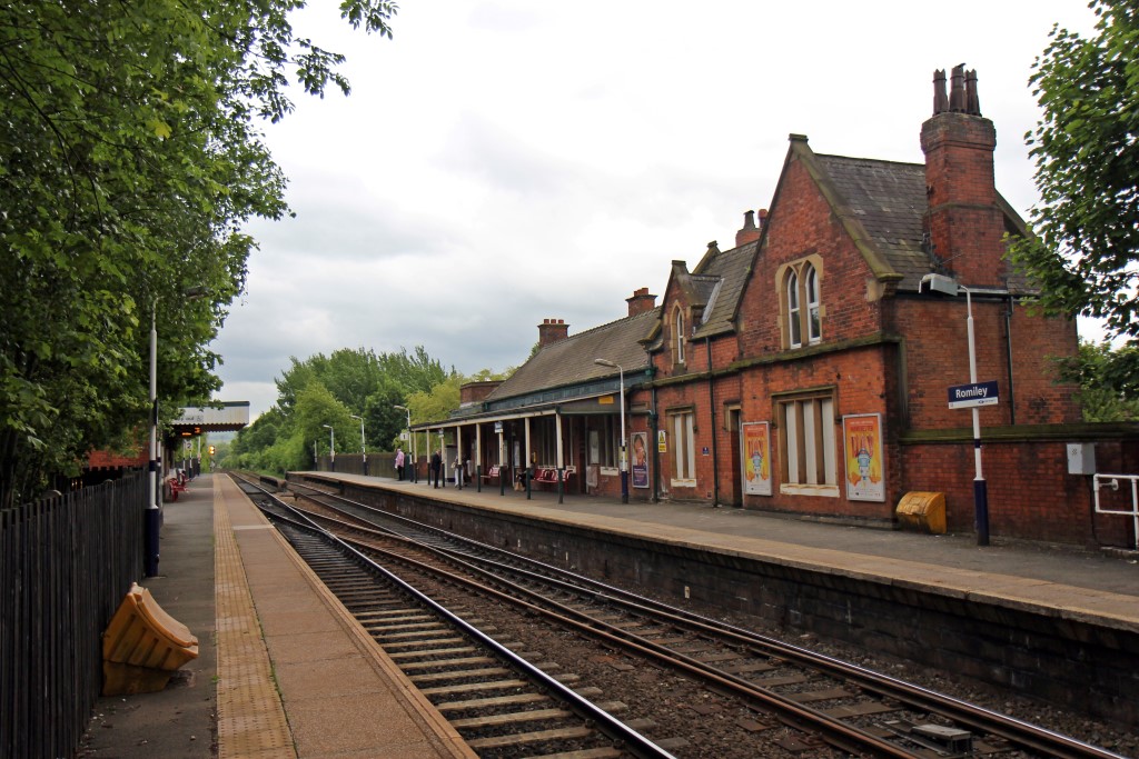
Romiley railway station
Romiley railway station serves Romiley, in the Metropolitan Borough of Stockport, Greater Manchester, England. == History == The station was built by the...

Woodley, Greater Manchester
Woodley is a suburb in the Metropolitan Borough of Stockport, Greater Manchester, England. It is situated on the east side of the Peak Forest Canal, next...

Romiley
Romiley is a village in the Metropolitan Borough of Stockport, Greater Manchester, England. Historically part of Cheshire, it borders Marple, Bredbury...

Woodley railway station
Woodley railway station serves the suburb of Woodley in Stockport, Greater Manchester, England. The station is 9+1⁄4 miles (14.9 km) east of Manchester...

The Works Recording Studio
The Works Recording Studio was a recording studio located in Stockport, Greater Manchester, UK between 1998 and 2007. Built in a Victorian rectory it...
Elder Mill, Romiley
Elder Mill, Romiley was a cotton spinning mill in Romiley, Stockport, Greater Manchester. It was taken over by the Lancashire Cotton Corporation in the...

Chadkirk Chapel
Chadkirk Chapel is a restored historic chapel near Romiley in the Metropolitan Borough of Stockport in Greater Manchester, England. It is recorded in...

Marple Aqueduct
Marple Aqueduct (also known as Goyt Aqueduct) at Marple, Greater Manchester, in north-west England was built to carry the lower level of the Peak Forest...
Nearby Amenities
Located within 500m of 53.420496,-2.0819972Have you been to Lane Ends?
Leave your review of Lane Ends below (or comments, questions and feedback).