Heald Wood
Wood, Forest in Cheshire
England
Heald Wood
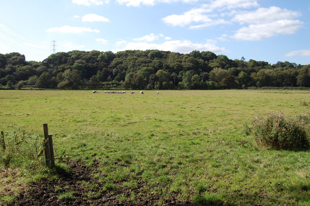
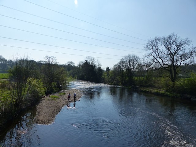
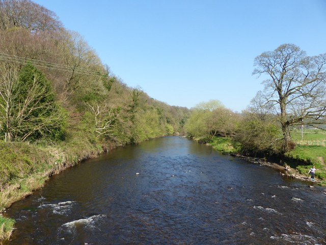
Heald Wood is a picturesque forest located in the county of Cheshire, England. This enchanting woodland covers an area of approximately 50 acres and is situated near the village of Mobberley. Heald Wood is known for its natural beauty, diverse wildlife, and peaceful atmosphere.
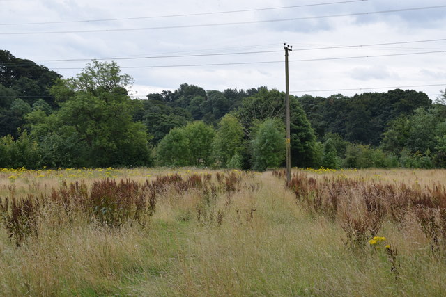
The woodland is predominantly made up of ancient oak and beech trees, which provide a dense canopy and create a sense of tranquility. Walking through the forest, visitors can enjoy the dappled sunlight filtering through the leaves and the soothing sounds of birdsong. The forest floor is covered with a rich carpet of wildflowers and mosses, adding to the charm and beauty of the surroundings.
Heald Wood is a haven for wildlife, with a variety of species calling it home. Birdwatchers can spot woodpeckers, owls, and various songbirds flitting among the branches. Small mammals such as squirrels and rabbits are also common sightings. In spring, the woodland comes alive with the sounds of chirping frogs and the sight of colorful butterflies fluttering around.
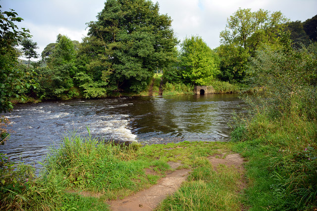
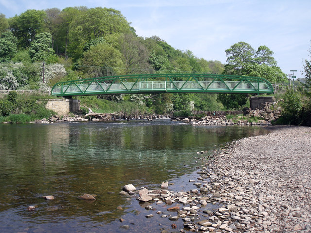
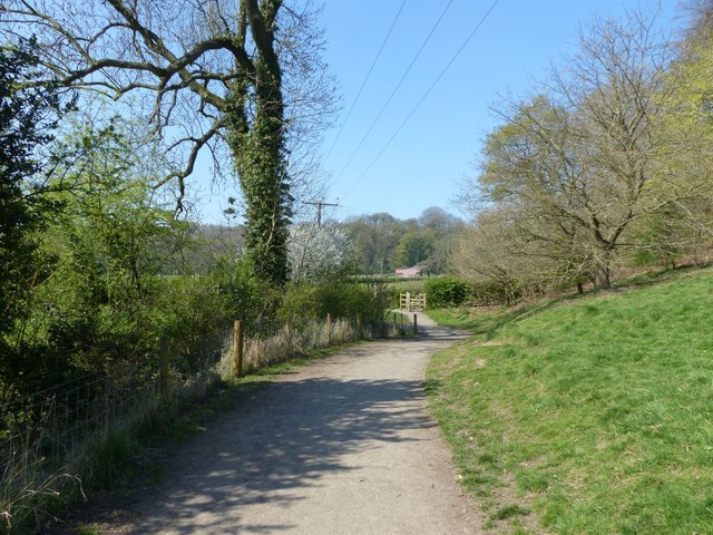
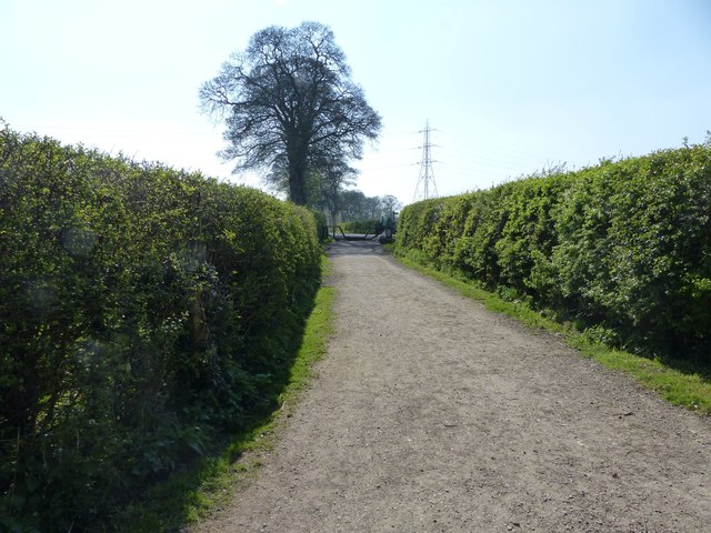
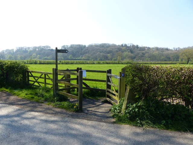
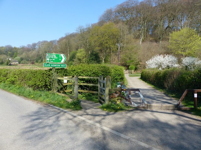
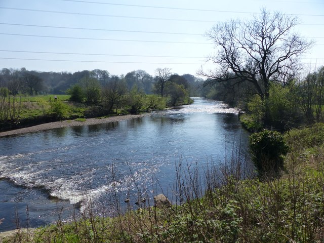
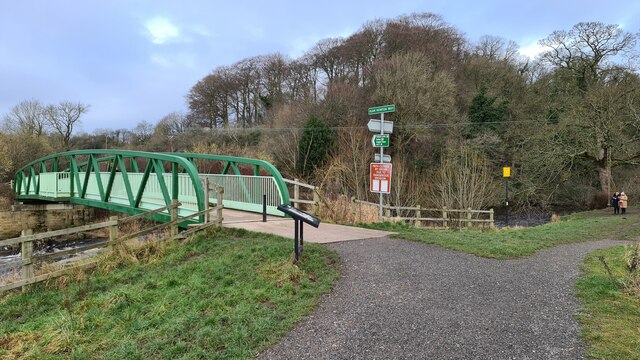
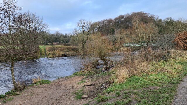
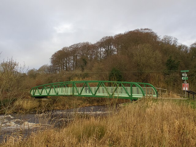
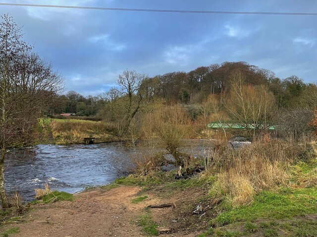
The forest offers several well-maintained walking trails, allowing visitors to explore its captivating beauty at their own pace. These paths wind through the trees, providing glimpses of hidden glades and small streams that meander through the wood. The peaceful ambiance and natural setting make Heald Wood a popular spot for nature lovers, walkers, and photographers.
Overall, Heald Wood in Cheshire is a charming and idyllic woodland that offers a tranquil escape from the hustle and bustle of daily life. Its ancient trees, diverse wildlife, and serene atmosphere make it a must-visit destination for those seeking a connection with nature.
If you have any feedback on the listing, please let us know in the comments section below.
Heald Wood Images
Images are sourced within 2km of 53.422037/-2.0893584 or Grid Reference SJ9491. Thanks to Geograph Open Source API. All images are credited.
Heald Wood is located at Grid Ref: SJ9491 (Lat: 53.422037, Lng: -2.0893584)
Unitary Authority: Stockport
Police Authority: Greater Manchester
What 3 Words
///remedy.poems.newly. Near Bredbury, Manchester
Nearby Locations
Related Wikis

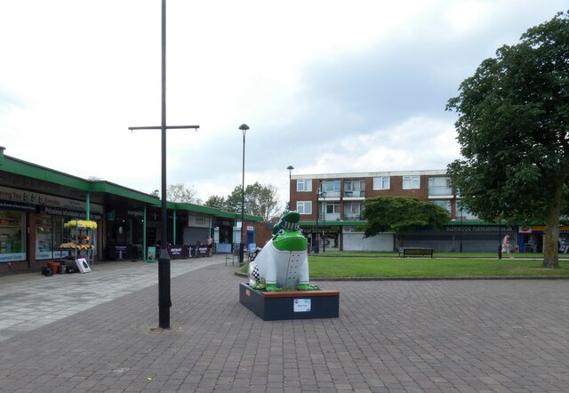
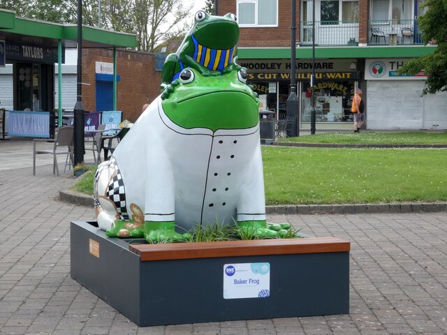
Woodley, Greater Manchester
Woodley is a suburb in the Metropolitan Borough of Stockport, Greater Manchester, England. It is situated on the east side of the Peak Forest Canal, next...

The Works Recording Studio
The Works Recording Studio was a recording studio located in Stockport, Greater Manchester, UK between 1998 and 2007. Built in a Victorian rectory it...

Woodley railway station
Woodley railway station serves the suburb of Woodley in Stockport, Greater Manchester, England. The station is 9+1⁄4 miles (14.9 km) east of Manchester...
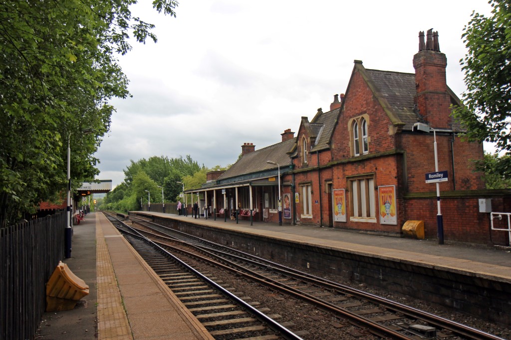
Romiley railway station
Romiley railway station serves Romiley, in the Metropolitan Borough of Stockport, Greater Manchester, England. == History == The station was built by the...

Romiley
Romiley is a village in the Metropolitan Borough of Stockport, Greater Manchester, England. Historically part of Cheshire, it borders Marple, Bredbury...
Elder Mill, Romiley
Elder Mill, Romiley was a cotton spinning mill in Romiley, Stockport, Greater Manchester. It was taken over by the Lancashire Cotton Corporation in the...

Stockport Town F.C.
Stockport Town Football Club is a semi-professional football club based in Woodley, a suburb of Stockport, Greater Manchester, England. They are currently...

Bredbury railway station
Bredbury railway station serves the town of Bredbury in the Metropolitan Borough of Stockport, Greater Manchester, England. It was built by the Sheffield...
Nearby Amenities
Located within 500m of 53.422037,-2.0893584Have you been to Heald Wood?
Leave your review of Heald Wood below (or comments, questions and feedback).