Cow Close Plantation
Wood, Forest in Yorkshire Craven
England
Cow Close Plantation
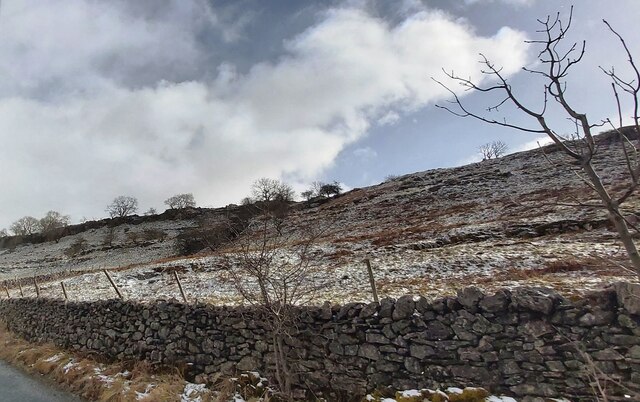
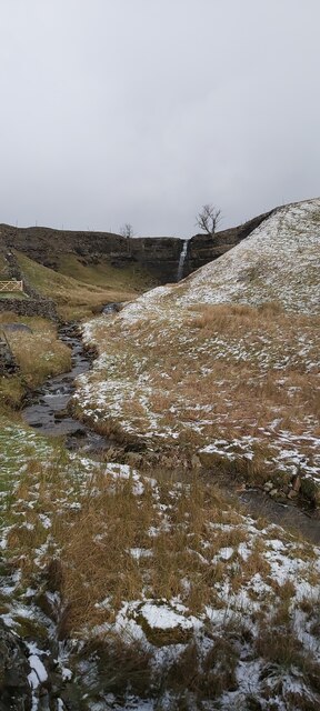
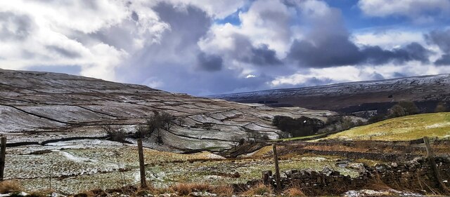
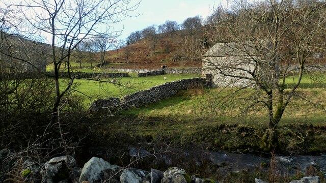
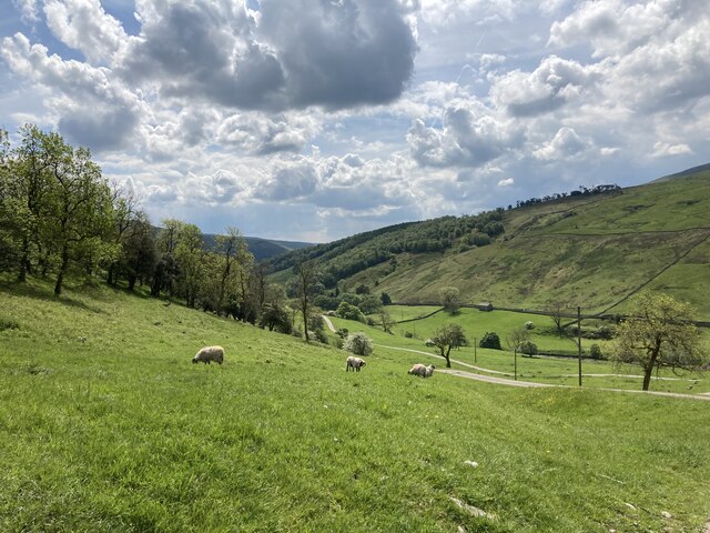
Cow Close Plantation is a picturesque woodland located in the heart of Yorkshire, England. Covering an area of approximately 100 acres, it forms part of the larger Nidderdale Area of Outstanding Natural Beauty. The plantation is characterized by its dense vegetation and diverse array of tree species, making it a haven for wildlife and a popular destination for nature enthusiasts.
The woodland is predominantly composed of broadleaf trees, including oak, beech, and ash, which create a vibrant and colorful canopy during the summer months. These trees provide a habitat for a wide range of bird species, such as woodpeckers, owls, and various songbirds. Additionally, the plantation is home to several mammal species, including foxes, badgers, and deer, which can often be spotted by visitors.
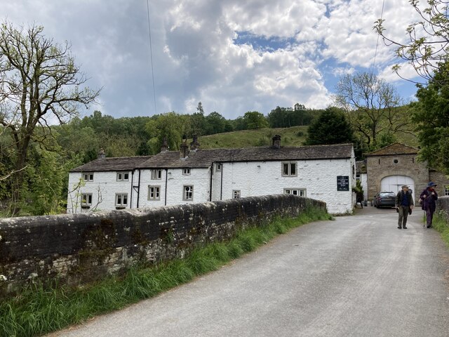
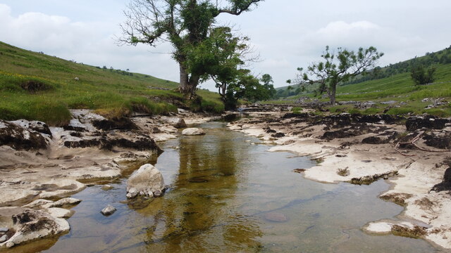
Visitors to Cow Close Plantation can enjoy a network of well-maintained walking trails that wind through the woodland, allowing them to explore its natural beauty at their own pace. The pathways are suitable for all abilities, with some areas offering wheelchair access. Along the way, visitors may encounter charming streams, wildflowers, and occasional glimpses of small mammals scurrying through the undergrowth.
The plantation is open to the public year-round, and visitors are encouraged to respect the natural environment and adhere to any signage or guidelines provided. The tranquil atmosphere and stunning scenery of Cow Close Plantation make it a must-visit destination for anyone seeking a peaceful escape into nature in the heart of Yorkshire.
If you have any feedback on the listing, please let us know in the comments section below.
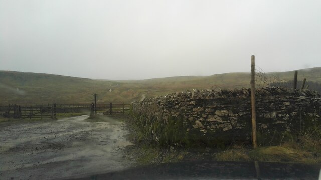
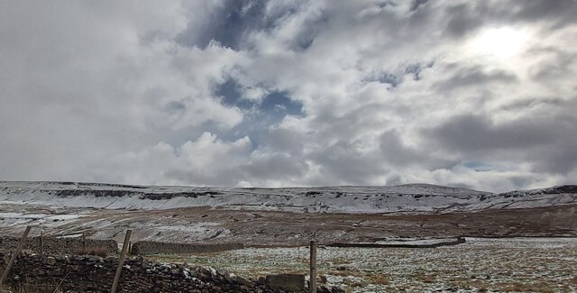
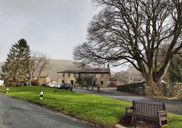
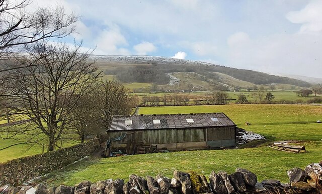
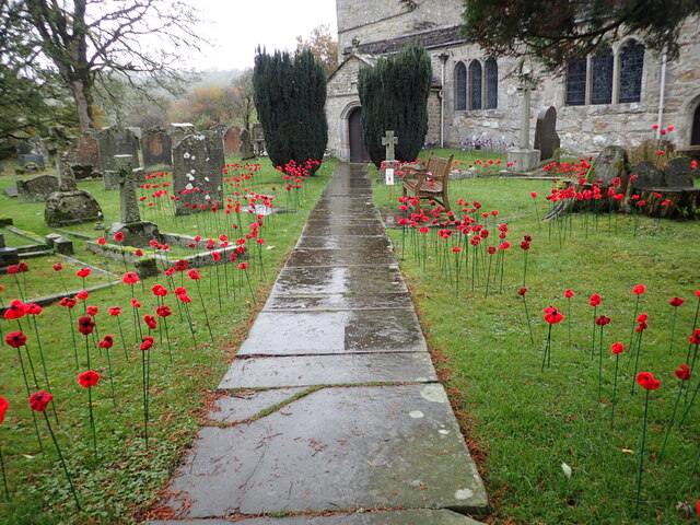
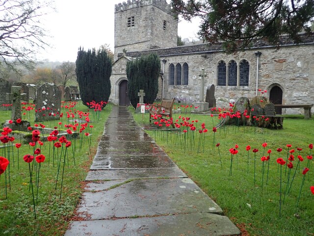
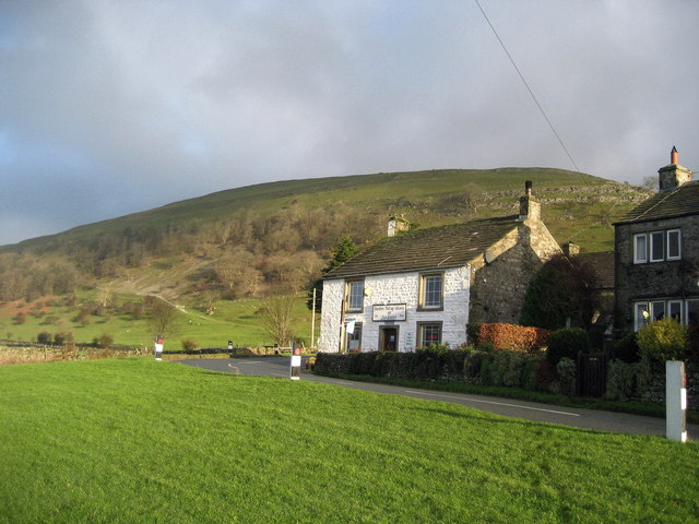
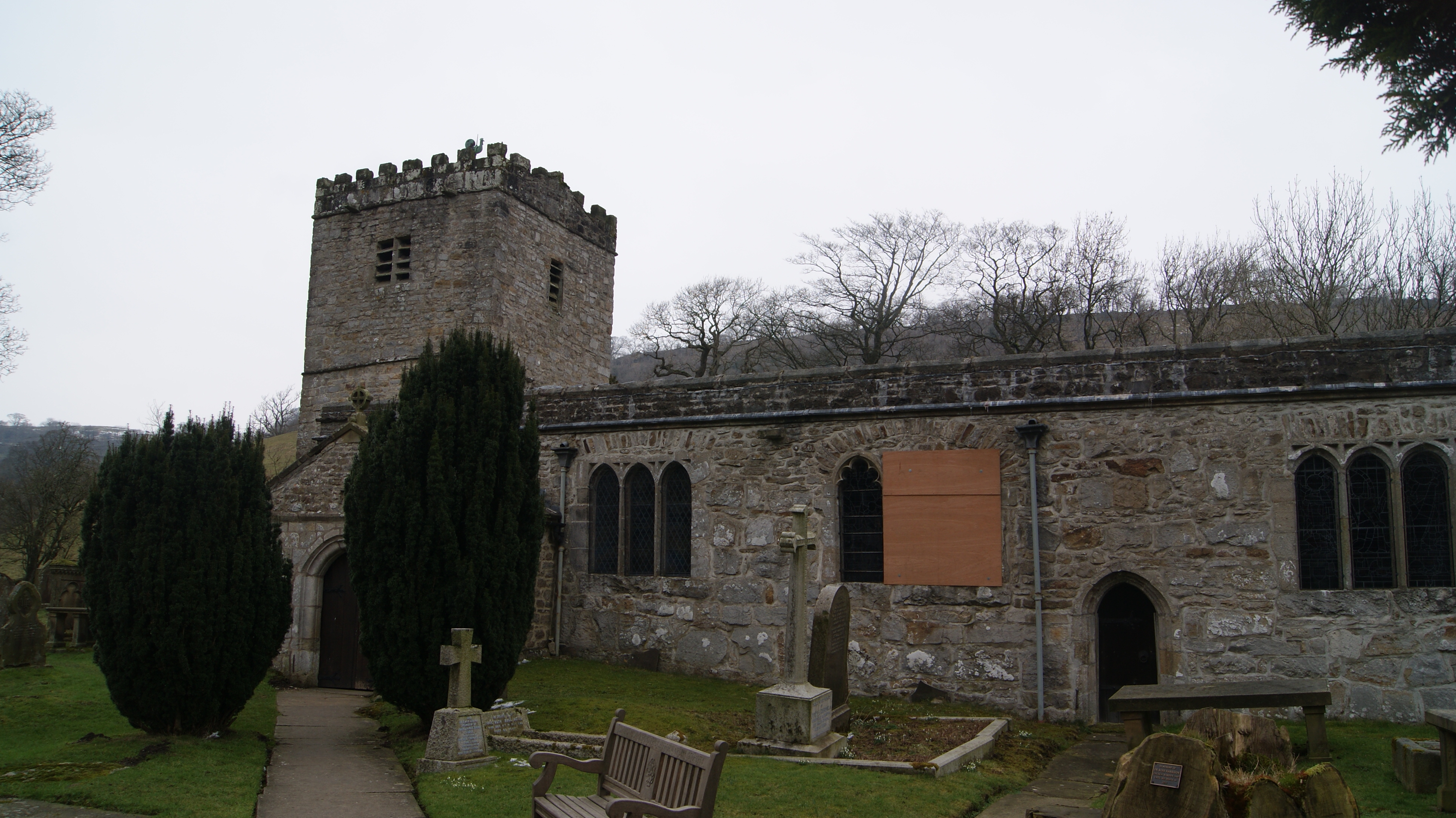
Cow Close Plantation Images
Images are sourced within 2km of 54.206745/-2.0910329 or Grid Reference SD9479. Thanks to Geograph Open Source API. All images are credited.
Cow Close Plantation is located at Grid Ref: SD9479 (Lat: 54.206745, Lng: -2.0910329)
Division: West Riding
Administrative County: North Yorkshire
District: Craven
Police Authority: North Yorkshire
What 3 Words
///hype.cheerily.digestion. Near Grassington, North Yorkshire
Nearby Locations
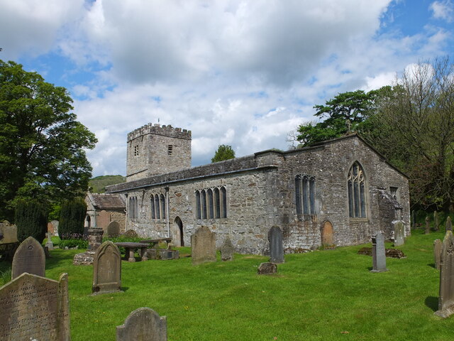
Related Wikis

Cray, North Yorkshire
Cray is a hamlet on the B6160 road on a steep hill above Wharfedale in the Yorkshire Dales, North Yorkshire, England. It is near Buckden and the River...
Buckden, North Yorkshire
Buckden is a village and civil parish in the Craven district of North Yorkshire, England. Historically part of the West Riding of Yorkshire, Buckden is...
Hubberholme
Hubberholme is an old village in Upper Wharfedale in the Yorkshire Dales, North Yorkshire, England, at the point where Langstrothdale meets Wharfedale...

Buckden Pike
Buckden Pike is a fell at the head of Wharfedale, a valley in the Yorkshire Dales, that stands above the village of Buckden, England. At 702 metres (2...

Langstrothdale
Langstrothdale is a scenic valley in the Yorkshire Dales in North Yorkshire, England. The uppermost course of the River Wharfe runs through it, but Wharfedale...

Bishopdale, North Yorkshire
Bishopdale is a dale in the Yorkshire Dales National Park in North Yorkshire, England. The dale is a side dale on the south side of Wensleydale, and extends...

Birks Fell
Birks Fell is a hill in the Yorkshire Dales, near to Hubberholme in North Yorkshire, England. It is classed as a Marilyn (a hill with topographic prominence...

Yockenthwaite
Yockenthwaite is a hamlet in the Craven district of North Yorkshire, England. It lies in the Langstrothdale valley in the Yorkshire Dales National Park...
Nearby Amenities
Located within 500m of 54.206745,-2.0910329Have you been to Cow Close Plantation?
Leave your review of Cow Close Plantation below (or comments, questions and feedback).