Tophill Low

Settlement in Yorkshire

England

Tophill Low

Well defined path!
Well defined path! Credit: David Brown

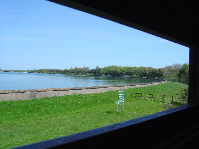
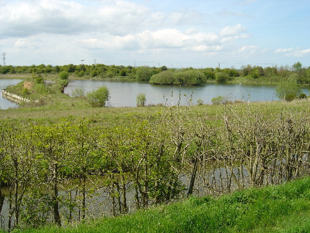
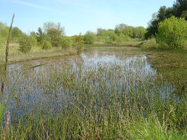
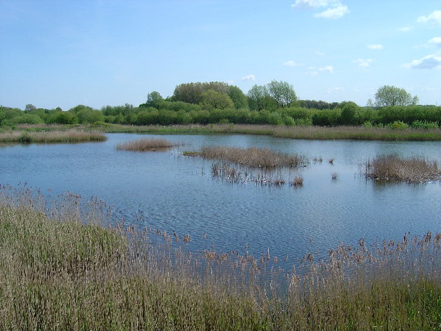
Tophill Low is a nature reserve and reservoir located in East Yorkshire, England. Situated near the village of Watton, it covers an area of approximately 300 acres and is renowned for its diverse wildlife and beautiful landscapes.

Originally constructed in the 1950s as a water supply reservoir, Tophill Low has since been transformed into a haven for nature enthusiasts. It is managed by the Yorkshire Water and the Yorkshire Wildlife Trust, who have worked together to create a thriving habitat for both resident and migratory bird species.

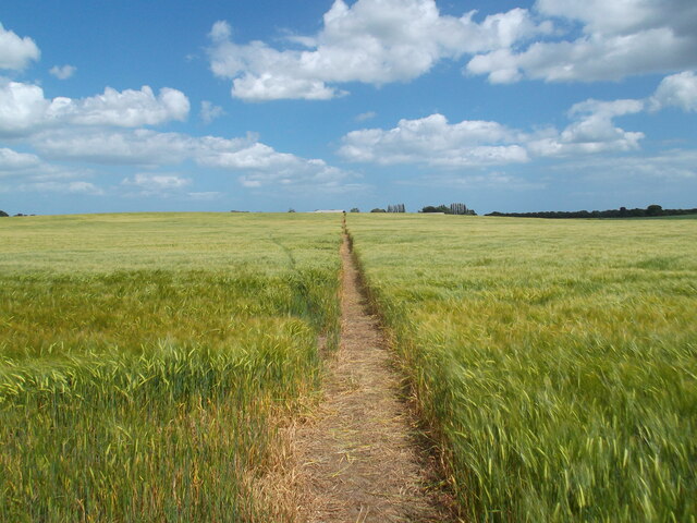
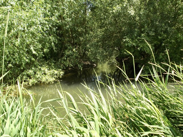
The site boasts a variety of habitats, including open water, reed beds, wetlands, and woodland, providing a rich environment for a wide range of flora and fauna. It is home to over 170 bird species, including rare and endangered species such as bitterns and marsh harriers. The reserve also supports a diverse population of mammals, reptiles, amphibians, and insects.

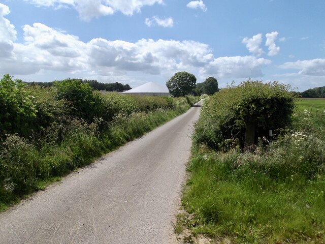
Tophill Low offers several bird hides and observation points, allowing visitors to watch and study the resident wildlife in its natural habitat. There are also well-maintained footpaths and trails, making it an ideal location for walking and exploring the surroundings.

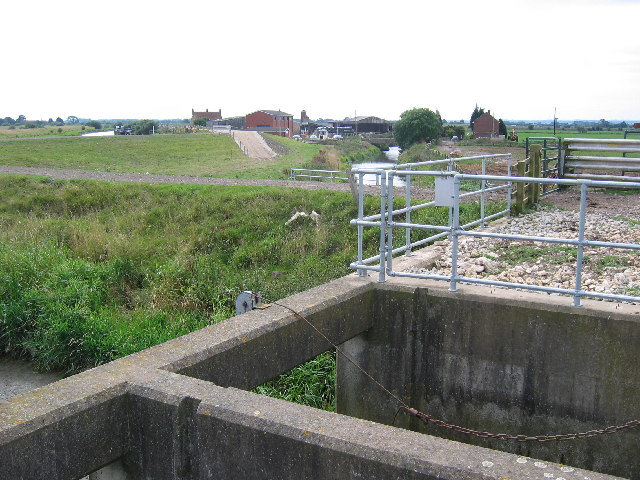
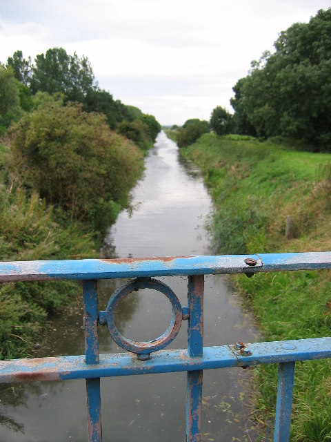
In addition to its ecological significance, Tophill Low also plays a crucial role in flood prevention, as it helps regulate the water levels of the River Hull. The reservoir has become a popular destination for birdwatchers, photographers, and nature enthusiasts, who appreciate the tranquility and beauty of this unique Yorkshire gem.

If you have any feedback on the listing, please let us know in the comments section below.
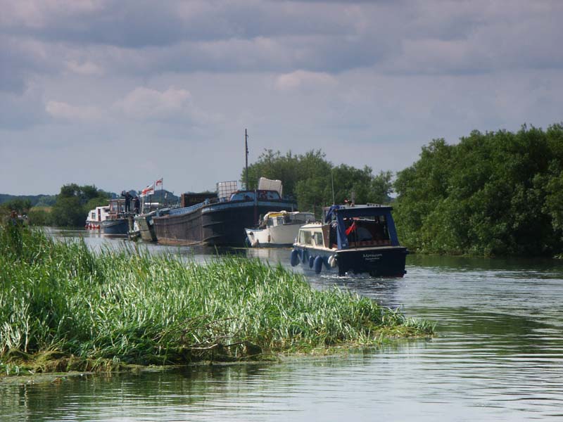
Tophill Low Images

Images are sourced within 2km of 53.920978/-0.37110231 or Grid Reference TA0748. Thanks to Geograph Open Source API. All images are credited.

Well defined path!
Well defined path!
A small side channel on the River Hull Strangely it is not marked on the map but can be seen on an aerial view. Only just in the square!
A small side channel on the River Hull
Strangely it is not marked on the map but can be seen on an aerial view. Only just in the square!
The road towards Decoy House The white building is entirely canvas...a big marquee!
The road towards Decoy House
The white building is entirely canvas...a big marquee!
The old River Hull
The old River Hull
Hunt Hill Farm View from the bottom SW corner of the grid square to Hunt Hill farm
Hunt Hill Farm
View from the bottom SW corner of the grid square to Hunt Hill farm
Footpath heading toward the old course of the River Hull
Footpath next to a Copse
The River Hull
The River Hull
Footpath across farmland to Hempholme Lock This shows the public footpath to Hempholme Lock as it traverses cultivated farmland. The lock is situated towards the right of the plantation seen in the distance.
Footpath across farmland to Hempholme Lock
This shows the public footpath to Hempholme Lock as it traverses cultivated farmland. The lock is situated towards the right of the plantation seen in the distance.
The River Hull New Cut This must be the straightest part of the whole 25 mile length of the River Hull.  I think this section was manmade to make navigation easier.
The River Hull New Cut
This must be the straightest part of the whole 25 mile length of the River Hull. I think this section was manmade to make navigation easier.
Tophill Low Nature Reserve "D" Reservoir Tophill Low water treatment works and nature reserve has two reservoirs known as the 'D' and 'O' reservoirs after their shape.  As well as being magnets for wildlife they are also major navigation way marks for small aircraft.  The only way to see the water is from the viewing hides.
Tophill Low Nature Reserve "D" Reservoir
Tophill Low water treatment works and nature reserve has two reservoirs known as the 'D' and 'O' reservoirs after their shape. As well as being magnets for wildlife they are also major navigation way marks for small aircraft. The only way to see the water is from the viewing hides.
Hempholme Lock This is one of the locks which maintain navigation on the River Hull.
Hempholme Lock
This is one of the locks which maintain navigation on the River Hull.
River Hull at Hempholme Lock River Hull looking north from Hempholme Lock.  Those that know the River Hull from the muddy mess in Hull may be surprised to see a clear chalk river.
River Hull at Hempholme Lock
River Hull looking north from Hempholme Lock. Those that know the River Hull from the muddy mess in Hull may be surprised to see a clear chalk river.
Watton Carr Nature Reserve Also known as Watton Borrow Pits this view is from within Tophill Low nature reserve across Barmston Drain.
Watton Carr Nature Reserve
Also known as Watton Borrow Pits this view is from within Tophill Low nature reserve across Barmston Drain.
East Pond at Tophill Low Nature reserve East pond is a great place to watch dragonflies and in May is full with the sound of European marsh frogs
East Pond at Tophill Low Nature reserve
East pond is a great place to watch dragonflies and in May is full with the sound of European marsh frogs
South Marsh West, Tophill Low Nature Reserve Looking south east from a hide.  There was much excitement early in 2005 when a pair of bitterns moved in.
South Marsh West, Tophill Low Nature Reserve
Looking south east from a hide. There was much excitement early in 2005 when a pair of bitterns moved in.
Wilfholme Landing Looking to Wilholme Landing from TA0620647275 which is in the bottom SW corner of the grid square. Beverley & Barmston Drain runs diagonally through the square and the river Hull meanders in from the east edge to flow parallel for a short while before leaving the south edge.
Wilfholme Landing
Looking to Wilholme Landing from TA0620647275 which is in the bottom SW corner of the grid square. Beverley & Barmston Drain runs diagonally through the square and the river Hull meanders in from the east edge to flow parallel for a short while before leaving the south edge.
Beverley & Barmston Drain Looking south from the bridge which gives access to Yorkshire Waters Tophill Low water Treatment facility, which is also a nature and wildlife habitat
Beverley & Barmston Drain
Looking south from the bridge which gives access to Yorkshire Waters Tophill Low water Treatment facility, which is also a nature and wildlife habitat
Show me another place!

Tophill Low is located at Grid Ref: TA0748 (Lat: 53.920978, Lng: -0.37110231)

Division: East Riding

Unitary Authority: East Riding of Yorkshire

Police Authority: Humberside

What 3 Words

///gathering.purist.hedgehog. Near Brandesburton, East Yorkshire

Nearby Locations

Park Carr Tophill Low

Related Wikis

Tophill Low

Tophill Low is a nature reserve and Site of Special Scientific Interest (SSSI) in the East Riding of Yorkshire, England. The site is also an active water...
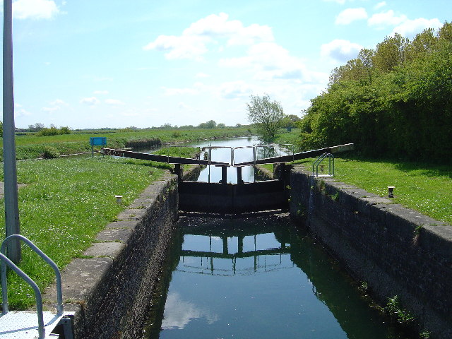
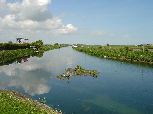
Wilfholme Landing

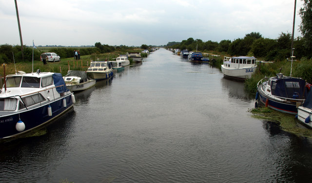
Wilfholme Landing is located on the Driffield Navigation in the East Riding of Yorkshire, England. The navigation is still tidal at this point, and is...

Struncheon Hill Lock

Struncheon Hill Lock was built as a later addition to the Driffield Navigation in the East Riding of Yorkshire, England. It improved access to the next...

Wilfholme

Wilfholme is a hamlet in the East Riding of Yorkshire, England. It forms part of the civil parish of Beswick, and is situated just east from the A164 road...

Nearby Amenities

Located within 500m of 53.920978,-0.37110231
Tophill Low Nature Reserve
Leisure: nature_reserve
Lat/Long: 53.9226974/-0.3682357
Toilets
Toilets Disposal: flush
Lat/Long: 53.9218638/-0.3674666
The data included in this document is from www.openstreetmap.org. The data is made available under ODbL.

Have you been to Tophill Low?

Leave your review of Tophill Low below (or comments, questions and feedback).