Maypole

Settlement in Kent

England

Maypole

Dead Tree, Beechen Wood The footpath through Beechen Wood passes by this dead tree which has obviously been much pecked by woodpeckers!
Dead Tree, Beechen Wood Credit: Trevor Harris

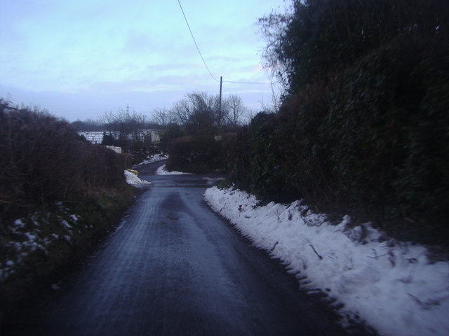
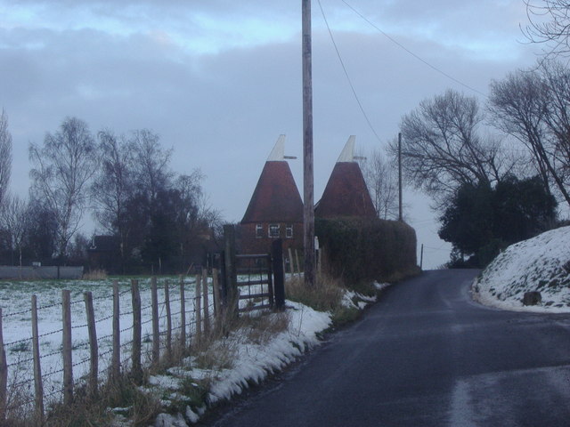
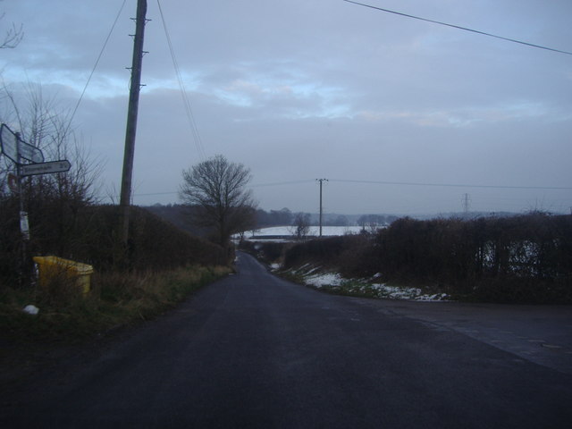
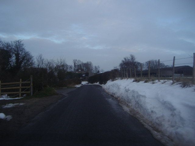
Maypole is a small village located in the county of Kent, England. Situated approximately 8 miles southeast of the city of Canterbury, Maypole is part of the civil parish of Hoath. The village is nestled in the picturesque countryside, surrounded by rolling hills and lush green fields, creating a tranquil and idyllic atmosphere.

Maypole is a close-knit community with a population of around 500 residents. The village is known for its charming and traditional architecture, with many of the houses and buildings dating back several centuries. The village center is adorned with a beautiful maypole, from which the village gets its name, serving as a reminder of the area's rich cultural heritage.

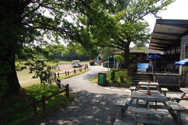
The village offers a range of amenities to its residents, including a local pub, a village hall, and a primary school. The nearby city of Canterbury provides additional services and facilities, including shops, supermarkets, healthcare facilities, and educational institutions.

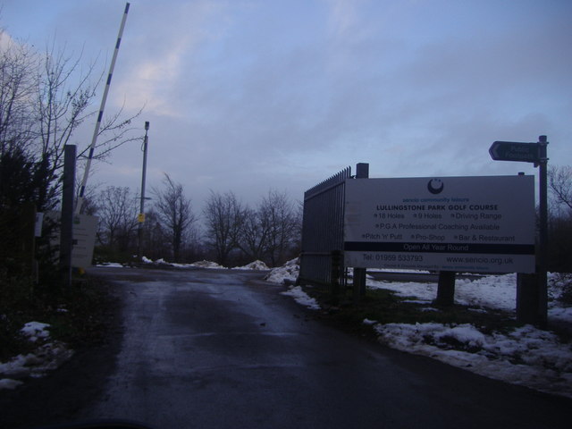
Nature enthusiasts are drawn to Maypole for its scenic beauty and abundant wildlife. The surrounding countryside offers ample opportunities for outdoor activities such as hiking, cycling, and birdwatching. The village is also within close proximity to several nature reserves and parks, providing further recreational options.

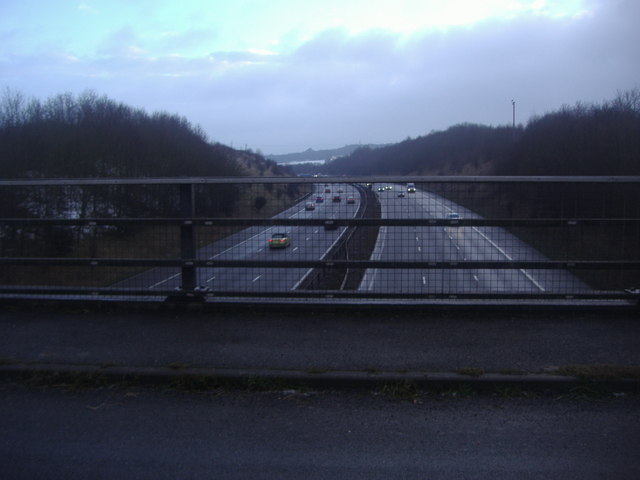
Maypole benefits from excellent transport links, with regular bus services connecting the village to neighboring towns and cities. The nearby A2 road provides easy access to Canterbury, as well as the coastal towns of Whitstable and Herne Bay.

Overall, Maypole offers a peaceful and picturesque place to reside, combining the tranquility of rural living with the convenience of nearby urban amenities.

If you have any feedback on the listing, please let us know in the comments section below.

Maypole Images

Images are sourced within 2km of 51.353686/0.138421 or Grid Reference TQ4963. Thanks to Geograph Open Source API. All images are credited.

Dead Tree, Beechen Wood The footpath through Beechen Wood passes by this dead tree which has obviously been much pecked by woodpeckers!
Dead Tree, Beechen Wood
The footpath through Beechen Wood passes by this dead tree which has obviously been much pecked by woodpeckers!
The Clubhouse, Lullingstone Park Golf Course The scene outside the clubhouse.
The Clubhouse, Lullingstone Park Golf Course
The scene outside the clubhouse.
Junction 4, M25 The M25 is a 117 mile orbital motorway that encircles London. It was constructed between 1975 and 1986.
The motorway is not a continuous loop as a section to the East of London at The Dartford Crossing is an A-Road.
Wikipedia; <span class="nowrap"><a title="http://en.wikipedia.org/wiki/M25_motorway" rel="nofollow ugc noopener" href="http://en.wikipedia.org/wiki/M25_motorway">Link</a><img style="margin-left:2px;" alt="External link" title="External link - shift click to open in new window" src="https://s1.geograph.org.uk/img/external.png" width="10" height="10"/></span>
Junction 4, M25
The M25 is a 117 mile orbital motorway that encircles London. It was constructed between 1975 and 1986. The motorway is not a continuous loop as a section to the East of London at The Dartford Crossing is an A-Road. Wikipedia; LinkExternal link
M25 near Parkgate Farm The M25 is a 117 mile orbital motorway that encircles London. It was constructed between 1975 and 1986.
The motorway is not a continuous loop as a section to the East of London at The Dartford Crossing is an A-Road.
Wikipedia; <span class="nowrap"><a title="http://en.wikipedia.org/wiki/M25_motorway" rel="nofollow ugc noopener" href="http://en.wikipedia.org/wiki/M25_motorway">Link</a><img style="margin-left:2px;" alt="External link" title="External link - shift click to open in new window" src="https://s1.geograph.org.uk/img/external.png" width="10" height="10"/></span>
M25 near Parkgate Farm
The M25 is a 117 mile orbital motorway that encircles London. It was constructed between 1975 and 1986. The motorway is not a continuous loop as a section to the East of London at The Dartford Crossing is an A-Road. Wikipedia; LinkExternal link
Exit 4 roundabout on the M25 Leading to Badgers Mount on the left turnoff
Exit 4 roundabout on the M25
Leading to Badgers Mount on the left turnoff
The M25 sliproad to Badgers Mount
Parkgate Road Bridge, M25 The M25 is a 117 mile orbital motorway that encircles London. It was constructed between 1975 and 1986.
The motorway is not a continuous loop as a section to the East of London at The Dartford Crossing is an A-Road.
Wikipedia; <span class="nowrap"><a title="http://en.wikipedia.org/wiki/M25_motorway" rel="nofollow ugc noopener" href="http://en.wikipedia.org/wiki/M25_motorway">Link</a><img style="margin-left:2px;" alt="External link" title="External link - shift click to open in new window" src="https://s1.geograph.org.uk/img/external.png" width="10" height="10"/></span>
Parkgate Road Bridge, M25
The M25 is a 117 mile orbital motorway that encircles London. It was constructed between 1975 and 1986. The motorway is not a continuous loop as a section to the East of London at The Dartford Crossing is an A-Road. Wikipedia; LinkExternal link
Junction 4, M25 The M25 is a 117 mile orbital motorway that encircles London. It was constructed between 1975 and 1986.
The motorway is not a continuous loop as a section to the East of London at The Dartford Crossing is an A-Road.
Wikipedia; <span class="nowrap"><a title="http://en.wikipedia.org/wiki/M25_motorway" rel="nofollow ugc noopener" href="http://en.wikipedia.org/wiki/M25_motorway">Link</a><img style="margin-left:2px;" alt="External link" title="External link - shift click to open in new window" src="https://s1.geograph.org.uk/img/external.png" width="10" height="10"/></span>
Junction 4, M25
The M25 is a 117 mile orbital motorway that encircles London. It was constructed between 1975 and 1986. The motorway is not a continuous loop as a section to the East of London at The Dartford Crossing is an A-Road. Wikipedia; LinkExternal link
The M25 from Parkgate Road near Lullingstone
The entrance to Lullingstone Park golf course
Firmingers Road at the junction of Rock Hill
Oast house on Well Hill Road
Well Hill Road at the junction of Cockerhurst Road
Great Cockerhurst farm from Well Hill Road The entrance to Cockerhurst farm opposite is on the left
Great Cockerhurst farm from Well Hill Road
The entrance to Cockerhurst farm opposite is on the left
Junction 4, M25 westbound
The on slip, junction 4, M25
M25 - 300 yds from junction 4
Show me another place!

Maypole is located at Grid Ref: TQ4963 (Lat: 51.353686, Lng: 0.138421)

Unitary Authority: Bromley

Police Authority: Metropolitan

What 3 Words

///acting.lift.stacks. Near Orpington, London

Related Wikis

Well Hill

Well Hill is a small rural hamlet within the civil parish of Shoreham in the Sevenoaks District of Kent, England. It lies 3 miles south east of Orpington...

Chelsfield

Chelsfield is an area in south-east London, England, within the London Borough of Bromley and, prior to 1965, in the historic county of Kent. It lies south...

Knockholt railway station

Knockholt railway station is on the South Eastern Main Line, located in the London Borough of Bromley, Greater London. It is 16 miles 44 chains (26.6 km...

Hewitt's Chalk Bank

Hewitt's Chalk Bank is a 4-hectare (10-acre) nature reserve north-east of Pratt's Bottom in the London Borough of Bromley. It is managed by the Kent Wildlife...

Badgers Mount

Badgers Mount is a village and civil parish in the Sevenoaks District of Kent, England It is located 3.6 miles south east of Orpington and 5.6 miles north...

Chelsfield railway station

Chelsfield railway station is on the South Eastern Main Line, serving the Chelsfield and Green Street Green areas south of Orpington, in the London Borough...

St Margaret's Church, Halstead

St Margaret's Church is an Anglican parish church in the village of Halstead and the Sevenoaks deanery, although the church also serves the village of...

Goddington

Goddington is an area in south-east London, located in the London Borough of Bromley. It is situated south of Ramsden, south-east of Orpington town centre...

Nearby Amenities

Located within 500m of 51.353686,0.138421
Power: tower
Lat/Long: 51.3561867/0.1382741
Power: tower
Lat/Long: 51.3544286/0.1343945
Power: tower
Lat/Long: 51.35326/0.1317509
Post Box
Brand: Royal Mail
Brand Wikidata: Q638098
Collection Times: Mo-Fr 16:30; Sa 11:30
Operator: Royal Mail
Operator Wikidata: Q638098
Post Box Mounting: brick_pillar
Post Box Type: wall
Ref: BR6 110
Royal Cypher: EIIR
Royal Cypher Wikidata: Q33102113
Lat/Long: 51.354767/0.1448545
Telephone
Defibrillator
Access: yes
Booth: K6
Covered: booth
Defibrillator Location: inside old red phone box in Well Hill
Emergency: defibrillator
Heritage: yes
Listed Status: Grade II
Man Made: telephone_box
Wikidata: Q26482075
Lat/Long: 51.3547686/0.1449087
Maypole / Bo Peep Public House
Naptan AtcoCode: 490008120S
Naptan Bearing: N
Naptan CommonName: Hewitts Bo-Peep
Naptan Street: HEWITTS ROAD
Naptan Verified: no
Lat/Long: 51.3518908/0.139346
Jubilee Road
Naptan AtcoCode: 490008582S
Naptan Bearing: N
Naptan CommonName: Jubilee Road (BR6)
Naptan Street: MAYPOLE ROAD
Naptan Verified: no
Lat/Long: 51.3542607/0.1374708
Barrier: stile
Lat/Long: 51.3503795/0.1400269
Pub
Bo Peep
Lat/Long: 51.352025/0.1395634
Maypole
Place: village
Lat/Long: 51.3545322/0.1408208
Bopeep
Place: village
Lat/Long: 51.3521774/0.1395824
Prestige Cars Kent
Addr City: Orpington
Addr Postcode: BR6 7QR
Addr Street: Hewitts Road
Check Date: 2022-11-22
Currency GBP: yes
Currency XBT: yes
Description: Specialise in the sales and service of prestige cars.
Payment Lightning: no
Payment Lightning Contactless: no
Payment Onchain: yes
Phone: +44 1689 364 177
Second Hand: only
Shop: car
Website: https://www.prestigecarskent.co.uk/
Lat/Long: 51.3500867/0.1372097
Access: yes
Barrier: kissing_gate
Bicycle: no
Foot: yes
Horse: no
Motor Vehicle: no
Lat/Long: 51.3548828/0.1429467
The data included in this document is from www.openstreetmap.org. The data is made available under ODbL.

Have you been to Maypole?

Leave your review of Maypole below (or comments, questions and feedback).