Maypole
Settlement in Kent Dartford
England
Maypole
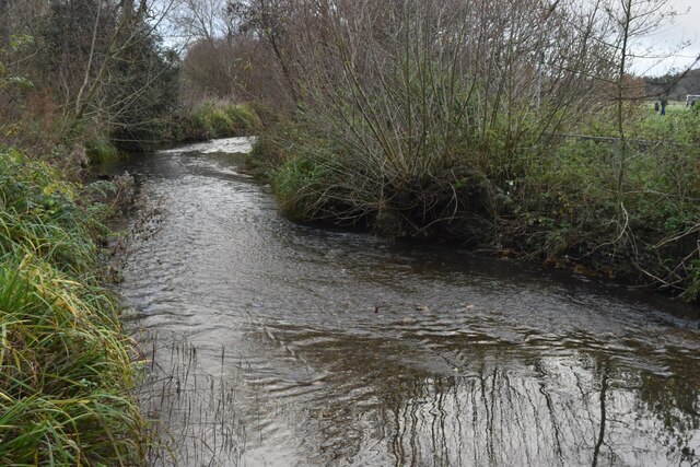
Maypole is a small village located in the county of Kent, England. It is situated approximately 15 miles southeast of the county town, Maidstone. The village is nestled in the picturesque countryside, surrounded by rolling hills and lush green fields, providing a peaceful and idyllic setting.
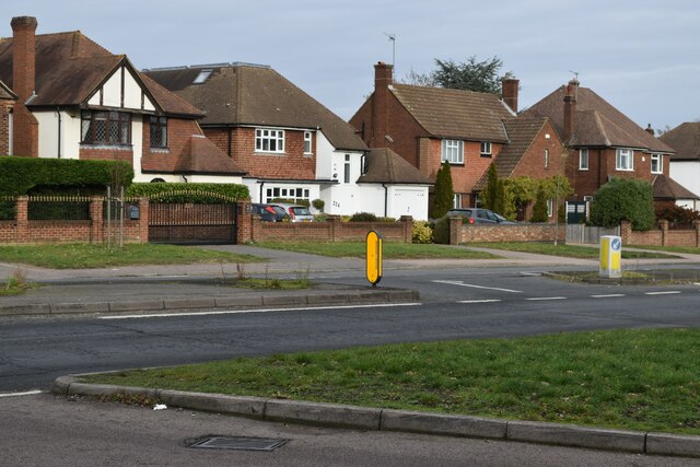
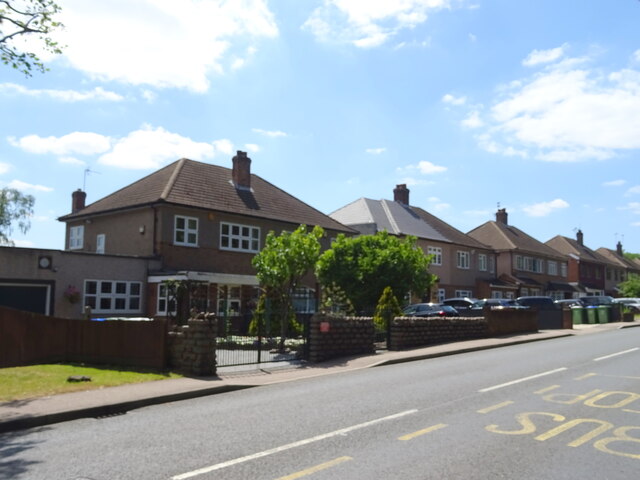
Maypole is characterized by its charming rural charm and traditional English village atmosphere. It is home to a tight-knit community, consisting mainly of residential properties and a few local amenities. These amenities include a village hall, a primary school, and a local pub, which serves as a social hub for residents and visitors alike.
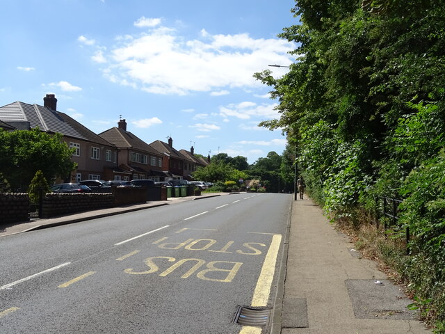
The village is well-connected to other parts of Kent, with good transport links to nearby towns and cities. The A229 road, also known as the Maidstone-Hastings road, runs through Maypole, providing easy access to Maidstone and other major towns in the area. There are also regular bus services that connect the village to surrounding areas.
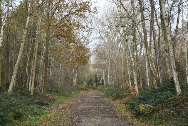
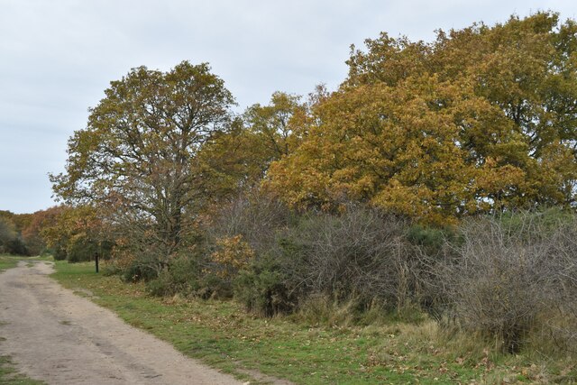
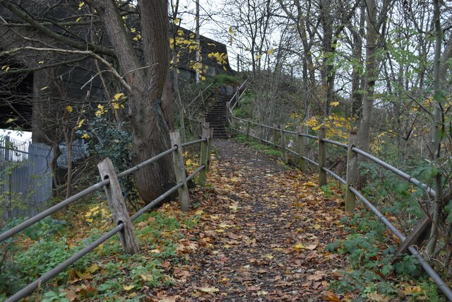
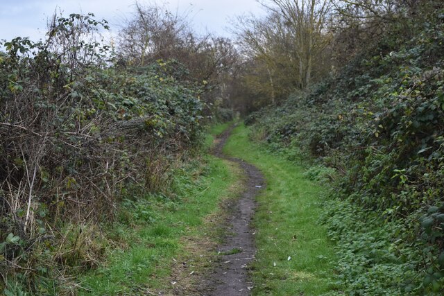
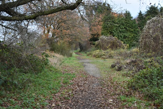
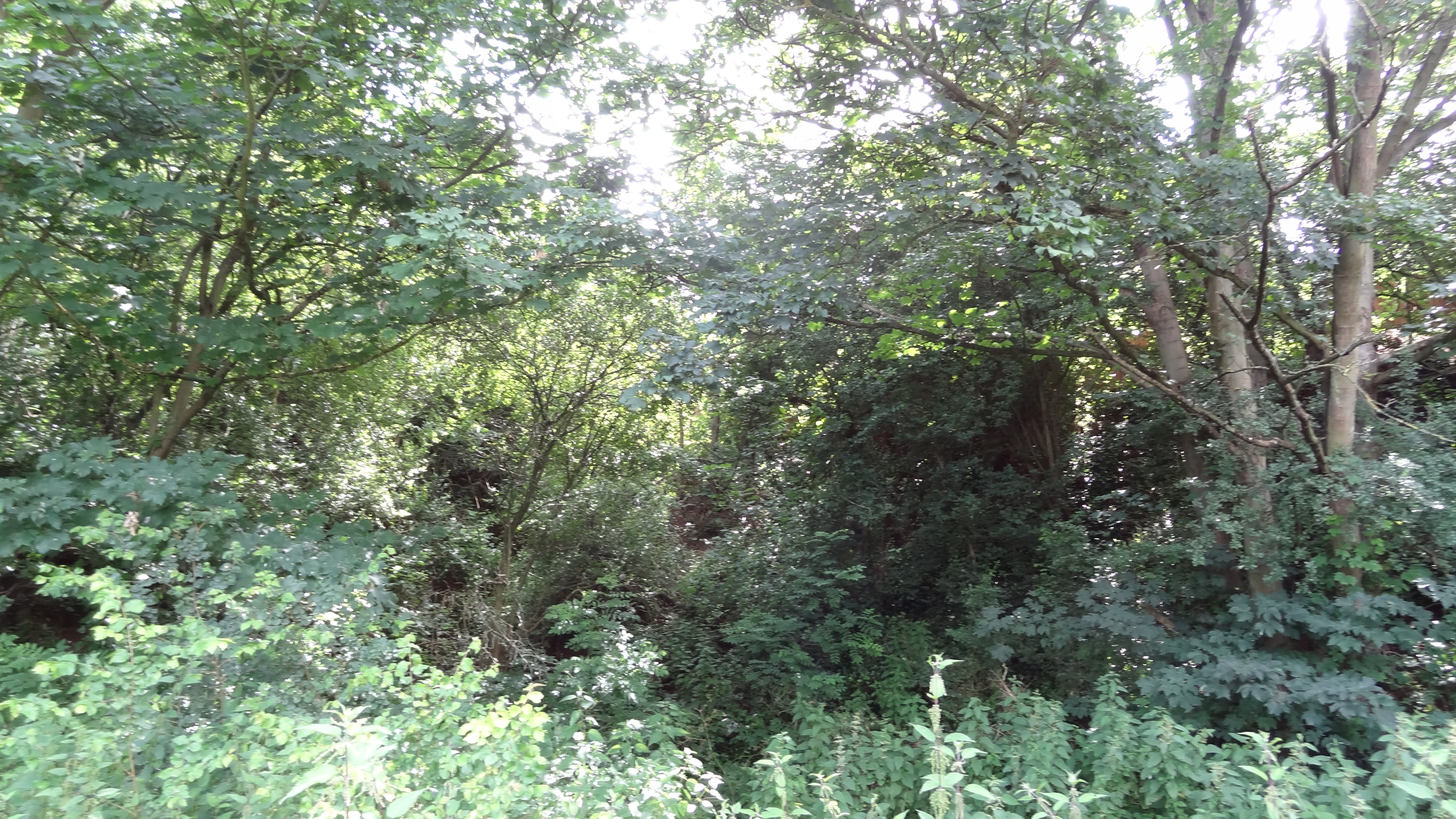
Maypole is surrounded by beautiful natural landscapes, making it an ideal location for outdoor enthusiasts. The nearby Bedgebury National Pinetum and Forest offers miles of walking and cycling trails, as well as a variety of tree species from around the world. The village is also close to the High Weald Area of Outstanding Natural Beauty, known for its stunning countryside and historic villages.
Overall, Maypole, Kent offers a peaceful and scenic retreat, with its rural charm, close-knit community, and easy access to beautiful natural surroundings.
If you have any feedback on the listing, please let us know in the comments section below.
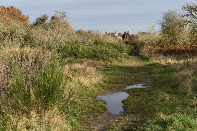
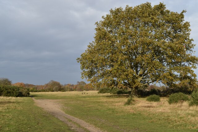
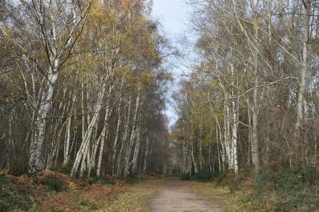
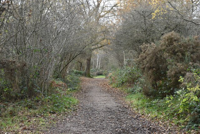
Maypole Images
Images are sourced within 2km of 51.436984/0.17152 or Grid Reference TQ5173. Thanks to Geograph Open Source API. All images are credited.


Maypole is located at Grid Ref: TQ5173 (Lat: 51.436984, Lng: 0.17152)
Administrative County: Kent
District: Dartford
Police Authority: Kent
What 3 Words
///former.rotate.venues. Near Bexley, London
Related Wikis

Maypole, Dartford
Maypole is a village in the Borough of Dartford in Kent, England. It is located north of Joyden's Wood and south-west of the town of Dartford. In the 2021...

Bexley Hospital
Bexley Hospital was a psychiatric hospital at Old Bexley Lane, Dartford Heath, Bexley, in the County of Kent. It operated between 19 September 1898 and...

Coldblow
Coldblow is a village in South East London within the London Borough of Bexley. It is located south east of Bexleyheath and south west of Dartford, adjacent...

Dartford Heath
Dartford Heath Common is an area of open heathland situated to the south-west of Dartford, Kent, England, that covers around 314 acres (127 ha) of open...
Wansunt Pit
Wansunt Pit is a 1.9-hectare (4.7-acre) geological Site of Special Scientific Interest in Dartford Heath between Crayford in the London Borough of Bexley...

Bowman's Lodge
Bowman's Lodge is a house in Dartford, Kent, England and the location of Bowmans, an area in the north west of Dartford Heath. The historian John Dunkin...
Braeburn Park
Braeburn Park is a 22.3-hectare (55-acre) nature reserve in Crayford in the London Borough of Bexley. It is managed by the London Wildlife Trust, and includes...
Bowmans, Kent
Bowmans is a part of the town of Dartford in Kent, England. It is located to the south-west of the town centre.
Nearby Amenities
Located within 500m of 51.436984,0.17152Have you been to Maypole?
Leave your review of Maypole below (or comments, questions and feedback).