Bowmans

Settlement in Kent Dartford

England

Bowmans

Path on Dartford Heath A path running parallel to Heath Lane.
Path on Dartford Heath Credit: David Martin

Bowmans is a small village located in the county of Kent, in southeastern England. Situated in the district of Sevenoaks, Bowmans is nestled amidst the picturesque countryside of the North Downs. It is part of the larger civil parish of Otford and lies approximately 25 miles southeast of London.

The village of Bowmans is characterized by its quaint and charming atmosphere, with a population of around 500 residents. It is surrounded by lush green fields, rolling hills, and woodlands, offering its residents and visitors a peaceful and idyllic setting. The village is primarily residential, with a mix of traditional cottages and modern houses.

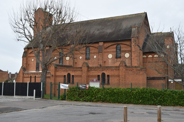
Despite its small size, Bowmans has a strong sense of community. The village is home to a local church, St. Bartholomew's, which dates back to the 13th century and serves as a focal point for religious and social gatherings. Additionally, there is a village hall that hosts various community events and activities throughout the year.

Bowmans benefits from its proximity to the larger town of Sevenoaks, which provides residents with access to a wider range of amenities and services. The area is well-connected to transportation links, with the M25 motorway and Sevenoaks railway station nearby, allowing for convenient travel to London and other parts of Kent.

Overall, Bowmans offers a tranquil and charming escape from the bustling city life, with its rural beauty and strong community spirit.

If you have any feedback on the listing, please let us know in the comments section below.
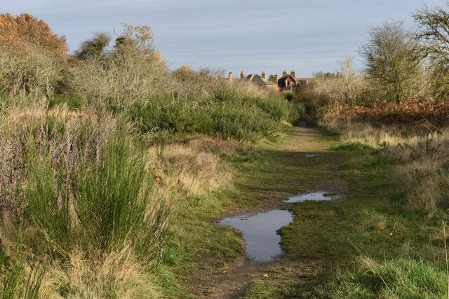
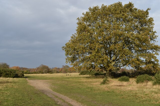
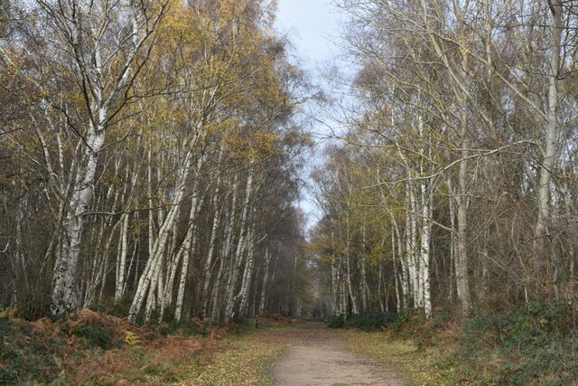
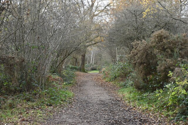
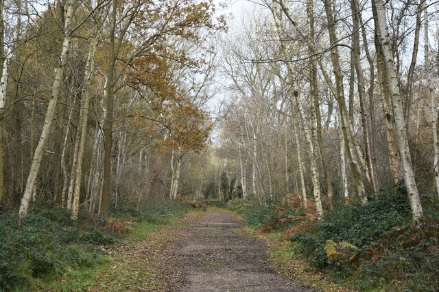
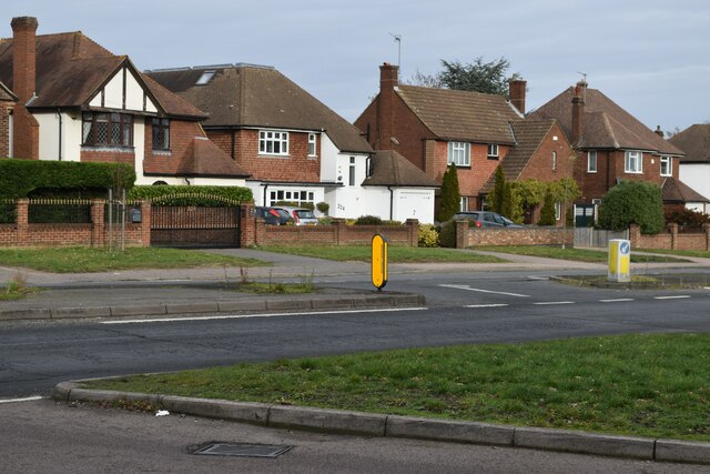
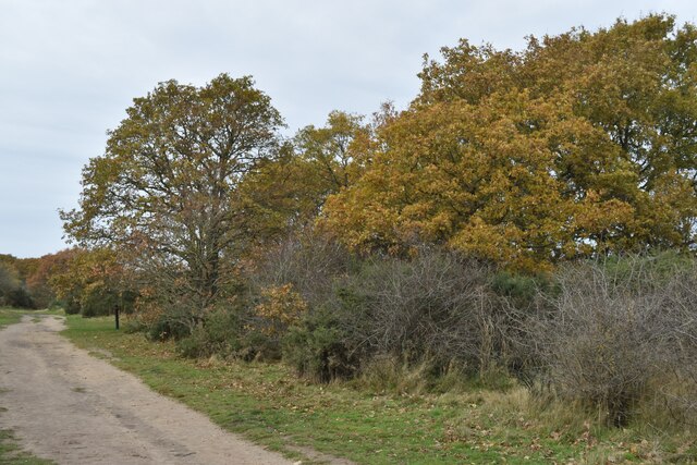
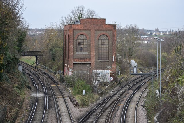
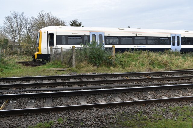
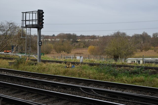
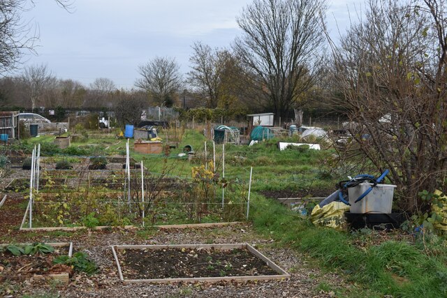
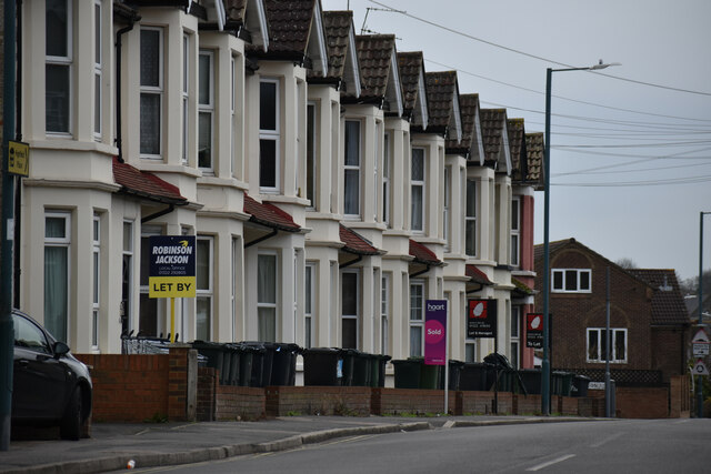
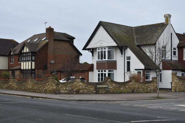
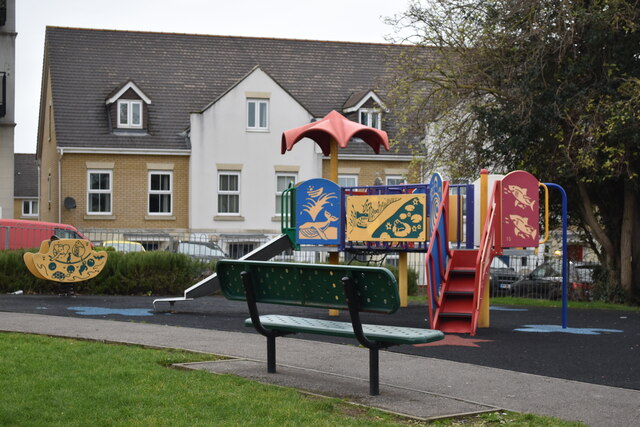
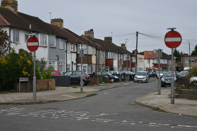
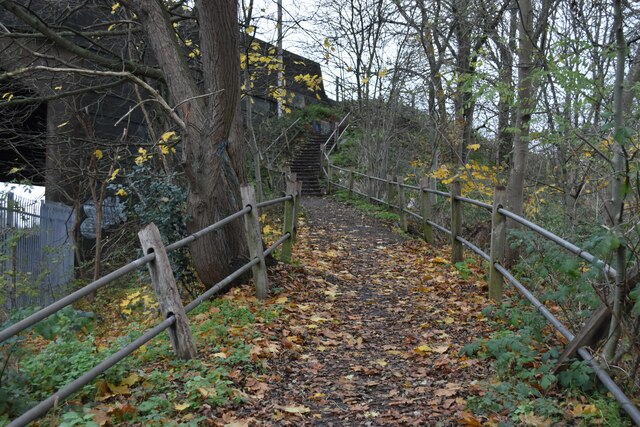
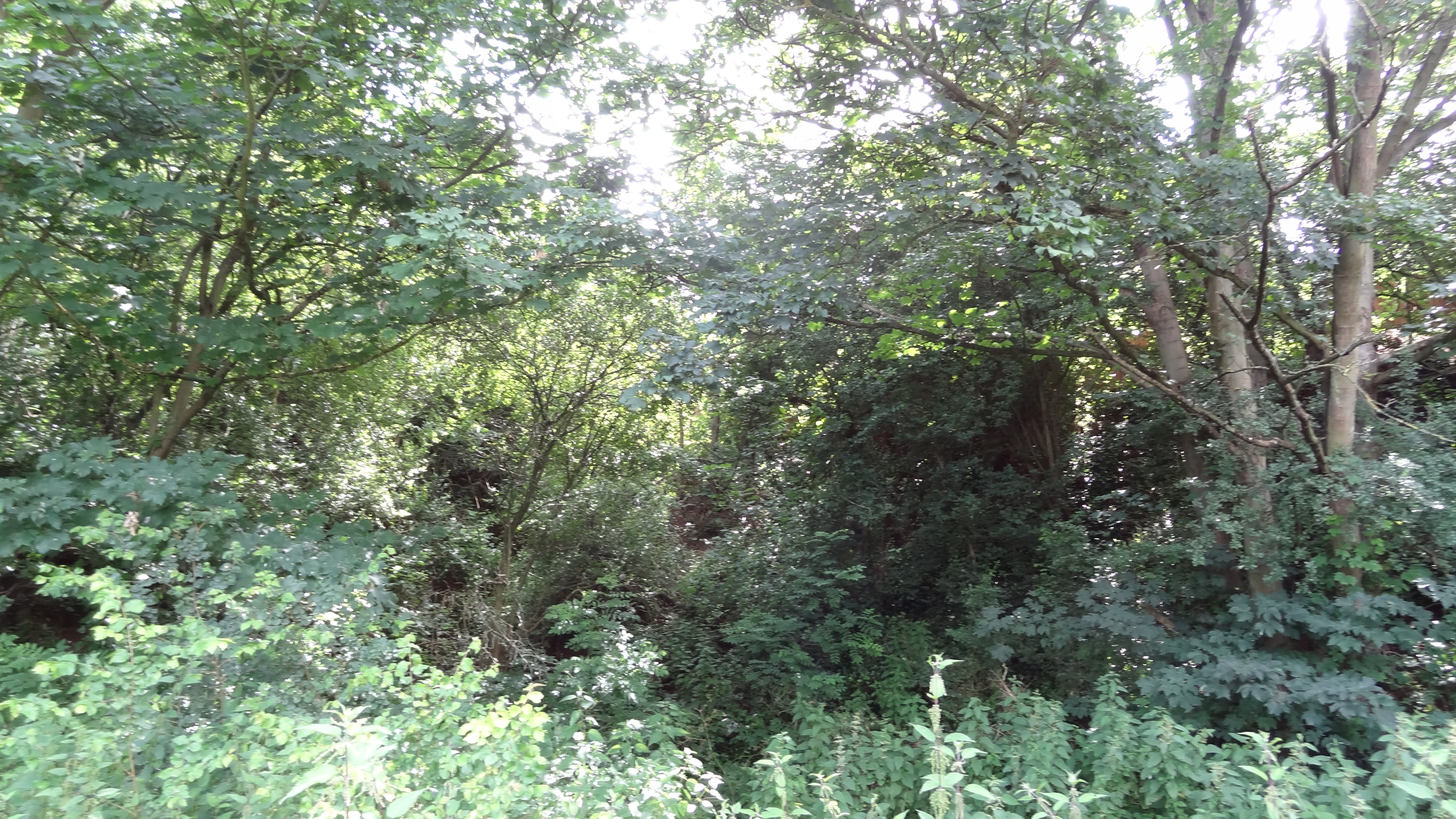
Bowmans Images

Images are sourced within 2km of 51.443222/0.183789 or Grid Reference TQ5173. Thanks to Geograph Open Source API. All images are credited.

Path on Dartford Heath A path running parallel to Heath Lane.
Path on Dartford Heath
A path running parallel to Heath Lane.
Tree and path on Dartford Heath
Tree-lined path on Dartford Heath
Path in the woods on Dartford Heath
Path on Dartford Heath, towards Old Bexley Lane
Houses opposite the end of Heathclose Road
Path on Dartford Heath
Dartford Junction Tracks on the left to Crayford, tracks on the right to Slade Green.
Dartford Junction
Tracks on the left to Crayford, tracks on the right to Slade Green.
Train waiting at former level crossing The train is waiting on the curve from Slade Green, heading onto the Dartford Loop Line towards Crayford.
Train waiting at former level crossing
The train is waiting on the curve from Slade Green, heading onto the Dartford Loop Line towards Crayford.
View across railway north of Wilmot Road
Christ Church Dartford
Allotments behind Marcet Road houses
Terraced houses on Highfield Road
Houses on the corner of Christchurch Road
Colourful play area on a grey day
Play area beside Holy Trinity Primary School
No entry to Burnham Crescent
London Loop footpath climbing A2 embankment The footpath uses the A2 bridge to cross the railway line.
London Loop footpath climbing A2 embankment
The footpath uses the A2 bridge to cross the railway line.
Show me another place!

Bowmans is located at Grid Ref: TQ5173 (Lat: 51.443222, Lng: 0.183789)

Administrative County: Kent

District: Dartford

Police Authority: Kent

What 3 Words

///tulip.useful.slice. Near Dartford, Kent

Nearby Locations

Maypole Bowmans

Related Wikis

Bowman's Lodge

Bowman's Lodge is a house in Dartford, Kent, England and the location of Bowmans, an area in the north west of Dartford Heath. The historian John Dunkin...

Wentworth Primary School

Wentworth Primary School is a primary school in Dartford, Kent, England. In 2017, the Gemili block (named after Olympic sprint athlete and alumni Adam...

Wansunt Pit

Wansunt Pit is a 1.9-hectare (4.7-acre) geological Site of Special Scientific Interest in Dartford Heath between Crayford in the London Borough of Bexley...

Dartford Heath

Dartford Heath Common is an area of open heathland situated to the south-west of Dartford, Kent, England, that covers around 314 acres (127 ha) of open...

Nearby Amenities

Located within 500m of 51.443222,0.183789
Traffic Signals
Traffic Signals Direction: backward
Lat/Long: 51.4438056/0.1808374
Turning Circle
Lat/Long: 51.4449841/0.1884512
Ref GB Tflcid: RWG182730
Traffic Calming: hump
Lat/Long: 51.446927/0.1853422
Turning Circle
Lat/Long: 51.4450552/0.182205
Give Way
Direction: backward
Lat/Long: 51.4436276/0.1777542
Traffic Calming: chicane
Lat/Long: 51.4436891/0.1794481
Traffic Signals
Lat/Long: 51.443654/0.1808009
Traffic Signals
Traffic Signals Direction: forward
Lat/Long: 51.4434901/0.1807138
Bus Stop
Chastilian Road / Station Road
Bus: yes
Naptan AtcoCode: 490005044W
Naptan Bearing: W
Naptan CommonName: Chastilian Road
Naptan Street: CHASTILIAN ROAD
Naptan Verified: no
Public Transport: platform
Ref: 76295
Lat/Long: 51.4441306/0.181663
Bus Stop
Royston Road
Bus: yes
Local Ref: K
Naptan AtcoCode: 490011774N
Naptan Bearing: N
Naptan CommonName: Royston Road
Naptan Indicator: Stop K
Naptan Street: STATION ROAD
Naptan Verified: no
Network: London Buses
Public Transport: platform
Ref: 71219
Lat/Long: 51.4459367/0.1802584
Bus Stop
Royston Road
Bus: yes
Local Ref: J
Naptan AtcoCode: 490011774S
Naptan Bearing: S
Naptan CommonName: Royston Road
Naptan Indicator: Stop J
Naptan Street: STATION ROAD
Naptan Verified: no
Network: London Buses
Operator: Transport for London
Public Transport: platform
Ref: 72575
Lat/Long: 51.4463476/0.1804826
Bus Stop
Station Road / Chastilian Road
Bus: yes
Naptan AtcoCode: 490012616S
Naptan Bearing: S
Naptan CommonName: Station Road Chastilian Road
Naptan Street: STATION ROAD
Naptan Verified: no
Network: London Buses
Public Transport: platform
Ref: 51564
Lat/Long: 51.4443914/0.1810533
Bus Stop
Marcus Road
Local Ref: opp
Naptan AtcoCode: 2400A070830A
Naptan Bearing: E
Naptan BusStopType: MKD
Naptan CommonName: Marcus Road
Naptan Indicator: opp
Naptan Landmark: Marcus Road
Naptan NaptanCode: kntgdjpj
Naptan RevisionNumber: 4
Naptan Status: act
Naptan Street: Chastilian Road
Naptan Verified: no
Network: London Buses
Public Transport: platform
Ref: kntgdjpj
Source: naptan_import
Source Date: 2018-05-22
Lat/Long: 51.4431644/0.1891938
Ref GB Tflcid: RWG182737
Traffic Calming: hump
Lat/Long: 51.4446031/0.1831639
Bus Stop
James Road
Local Ref: adj
Naptan AtcoCode: 2400102529
Naptan Bearing: E
Naptan BusStopType: MKD
Naptan CommonName: James Road
Naptan Indicator: adj
Naptan Landmark: James Road
Naptan NaptanCode: kntgtpdp
Naptan RevisionNumber: 1
Naptan Status: act
Naptan Street: Chastilian Road
Naptan Verified: no
Public Transport: platform
Ref: kntgtpdp
Source: naptan_import
Source Date: 2018-02-14
Lat/Long: 51.4441107/0.1850265
Bus Stop
James Road
Local Ref: opp
Naptan AtcoCode: 2400102531
Naptan Bearing: W
Naptan BusStopType: MKD
Naptan CommonName: James Road
Naptan Indicator: opp
Naptan Landmark: James Road
Naptan NaptanCode: kntgtpdt
Naptan RevisionNumber: 1
Naptan Status: act
Naptan Street: Chastilian Road
Naptan Verified: no
Network: London Buses
Public Transport: platform
Ref: kntgtpdt
Source: naptan_import
Source Date: 2018-02-14
Lat/Long: 51.4440969/0.1845911
Source: Personal memory
Traffic Sign Backward: low_emission_zone
Lat/Long: 51.4436608/0.1805726
Traffic Calming: chicane
Lat/Long: 51.4434797/0.1776122
Give Way
Direction: backward
Lat/Long: 51.4436842/0.1797913
Traffic Signals
Traffic Signals Direction: forward
Lat/Long: 51.4436617/0.1805435
Crossing
Crossing: uncontrolled
Lat/Long: 51.4435168/0.1807299
Crossing
Crossing: uncontrolled
Lat/Long: 51.4437691/0.180831
Crossing
Crossing: uncontrolled
Lat/Long: 51.4436601/0.1805981
Traffic Calming: cushion
Lat/Long: 51.4461109/0.180374
Traffic Sign Forward: low_emission_zone
Lat/Long: 51.4462105/0.1803033
Marcus Road
Bus: yes
Network: London Buses
Public Transport: stop_position
Lat/Long: 51.4430536/0.1889514
Marcus Road
Bus: yes
Network: London Buses
Public Transport: stop_position
Lat/Long: 51.4431083/0.1892229
James Road
Bus: yes
Network: London Buses
Public Transport: stop_position
Lat/Long: 51.4440472/0.1850014
Station Road / Chastilian Road
Bus: yes
Network: London Buses
Public Transport: stop_position
Lat/Long: 51.4444117/0.1809303
Royston Road
Bus: yes
Network: London Buses
Operator: Transport for London
Public Transport: stop_position
Lat/Long: 51.4459313/0.1803455
Royston Road
Bus: yes
Network: London Buses
Operator: Transport for London
Public Transport: stop_position
Lat/Long: 51.4463501/0.1804013
Chastilian Road / Station Road
Bus: yes
Public Transport: stop_position
Lat/Long: 51.4441844/0.1816446
James Road
Bus: yes
Public Transport: stop_position
Lat/Long: 51.444141/0.1846151
Coal tax post
Historic: boundary_stone
Inscription: 24 & 25 VICT CAP 42
Material: i
Note: Coal tax boundary marker 211
Lat/Long: 51.4435881/0.1805927
Bowmans
Place: village
Lat/Long: 51.4433252/0.180778
Bus Stop
Marcus Road
Local Ref: adj
Naptan AtcoCode: 2400102533
Naptan Bearing: W
Naptan BusStopType: MKD
Naptan CommonName: Marcus Road
Naptan Indicator: adj
Naptan Landmark: Marcus Road
Naptan NaptanCode: kntgtpdw
Naptan RevisionNumber: 1
Naptan Status: act
Naptan Street: Chastilian Road
Naptan Verified: no
Public Transport: platform
Ref: kntgtpdw
Source: naptan_import
Source Date: 2018-05-22
Lat/Long: 51.4430195/0.1889643
Ref GB Tflcid: RWG182743
Traffic Calming: hump
Lat/Long: 51.4465521/0.1816531
Ref GB Tflcid: RWG182739
Traffic Calming: hump
Lat/Long: 51.4460661/0.1831073
Ref GB Tflcid: RWG182735
Traffic Calming: hump
Lat/Long: 51.4460546/0.1851933
Ref GB Tflcid: RWG182736
Traffic Calming: hump
Lat/Long: 51.4452482/0.1841528
Ref GB Tflcid: RWG182616
Traffic Calming: hump
Lat/Long: 51.4457678/0.178582
Premier Marceans
Check Date: 2023-04-04
Shop: convenience
Lat/Long: 51.4433745/0.1908235
The data included in this document is from www.openstreetmap.org. The data is made available under ODbL.

Have you been to Bowmans?

Leave your review of Bowmans below (or comments, questions and feedback).