Bowmanstead

Settlement in Lancashire South Lakeland

England

Bowmanstead

Coniston village sign This road sign on the A593 was erected by Lancashire County Council, pre-dating the formation of Cumbria in 1974 which incorporated that part of Lancashire north of Morecambe Bay.
Located at Park Gate, the sign is unusually far from the village, being almost 1.6km (1 mile) south of the centre of Coniston.
Coniston village sign Credit: Adrian Taylor

Bowmanstead is a small town located in the picturesque county of Lancashire, England. Situated approximately 10 miles northeast of the city of Lancaster, it rests at the foothills of the stunning Bowland Fells. With a population of around 2,500 residents, Bowmanstead exudes a charming rural character.

The town's history dates back centuries, with evidence of human settlement dating back to the Neolithic period. Bowmanstead's rich history is reflected in its architecture, with beautiful buildings showcasing a mix of Tudor, Georgian, and Victorian styles. The centerpiece of the town is St. Mary's Church, a magnificent medieval structure that has stood for over 800 years.

Nature lovers are drawn to Bowmanstead thanks to its proximity to the breathtaking Forest of Bowland, an Area of Outstanding Natural Beauty. The town itself is surrounded by rolling green hills and offers numerous walking and cycling trails, allowing residents and visitors to immerse themselves in the tranquility of the countryside.

Despite its small size, Bowmanstead boasts a strong community spirit with various local events and festivals throughout the year. The town has a range of amenities including a primary school, a handful of shops, and a traditional pub. For further amenities, residents can easily access nearby Lancaster or the market town of Clitheroe.

In conclusion, Bowmanstead is a delightful rural town nestled in the scenic county of Lancashire. With its fascinating history, stunning natural surroundings, and strong sense of community, it offers a peaceful and idyllic lifestyle for its residents.

If you have any feedback on the listing, please let us know in the comments section below.
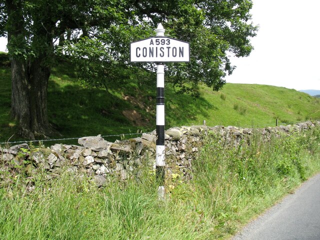
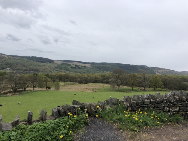
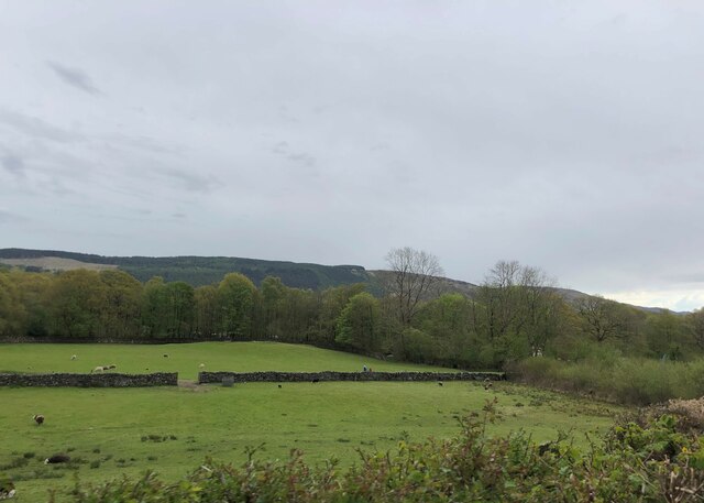
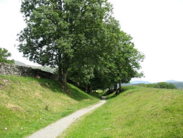
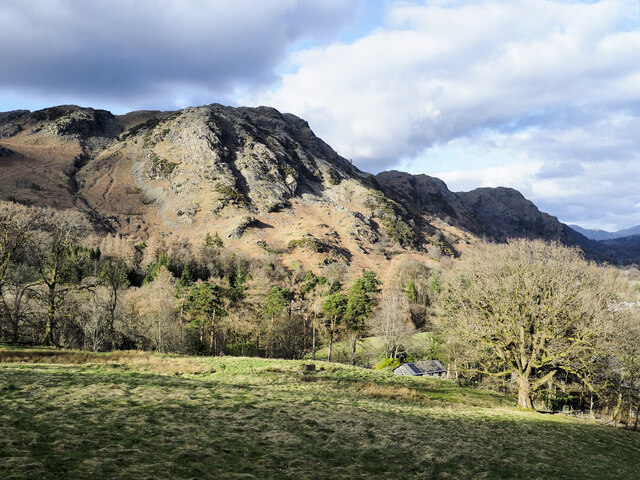
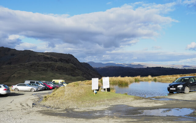
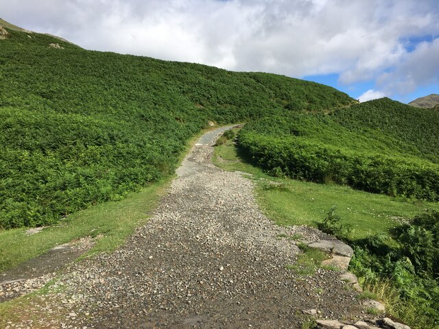
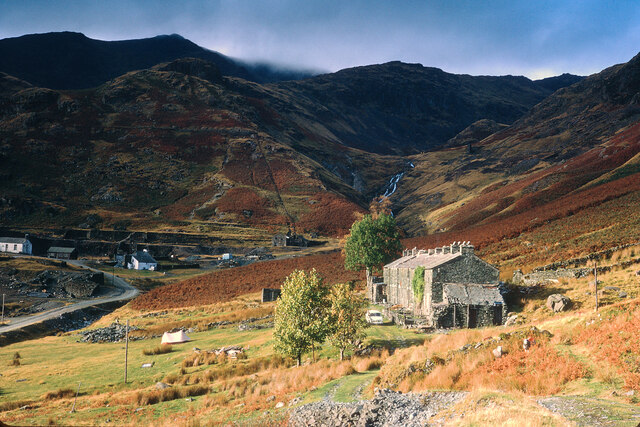
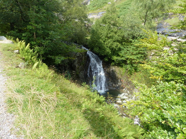
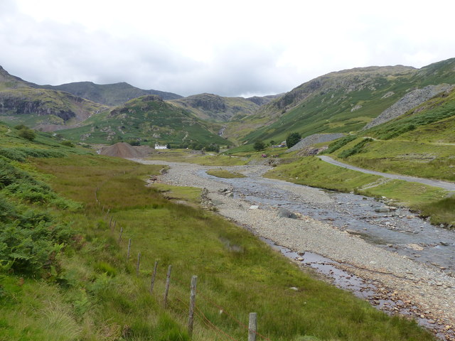
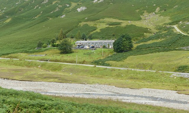
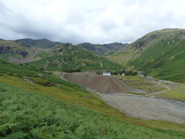
Bowmanstead Images

Images are sourced within 2km of 54.362376/-3.07648 or Grid Reference SD3096. Thanks to Geograph Open Source API. All images are credited.

Coniston village sign This road sign on the A593 was erected by Lancashire County Council, pre-dating the formation of Cumbria in 1974 which incorporated that part of Lancashire north of Morecambe Bay.
Located at Park Gate, the sign is unusually far from the village, being almost 1.6km (1 mile) south of the centre of Coniston.
Coniston village sign
This road sign on the A593 was erected by Lancashire County Council, pre-dating the formation of Cumbria in 1974 which incorporated that part of Lancashire north of Morecambe Bay. Located at Park Gate, the sign is unusually far from the village, being almost 1.6km (1 mile) south of the centre of Coniston.
Pasture south of Coniston Park coppice behind and Grizedale Forest on the hills
Pasture south of Coniston
Park coppice behind and Grizedale Forest on the hills
Grazing near Coniston Park Coppice
The Coniston Branch near Park Gate Now only used by walkers and sheep, this is the route of the former Furness Railway branch line from Foxfield to Coniston.
The last passenger service ran on 4 October 1958 with a final enthusiasts’ special train on the 27 August 1961.  The last freight train ran during the week ending 29 April 1962 and the track was lifted early in 1963.
The Coniston Branch near Park Gate
Now only used by walkers and sheep, this is the route of the former Furness Railway branch line from Foxfield to Coniston. The last passenger service ran on 4 October 1958 with a final enthusiasts’ special train on the 27 August 1961. The last freight train ran during the week ending 29 April 1962 and the track was lifted early in 1963.
Roughly grassed field at Dixon Ground Dixon Ground is an area of land lying west of Coniston. The view here is from the publicly accessible part of the Walna Scar Road which has risen from the village.
The steep, broken slope beyond lies across Church Beck and rises ultimately to Wetherlam.
Roughly grassed field at Dixon Ground
Dixon Ground is an area of land lying west of Coniston. The view here is from the publicly accessible part of the Walna Scar Road which has risen from the village. The steep, broken slope beyond lies across Church Beck and rises ultimately to Wetherlam.
Irish Cottages, Coppermines Valley Irish Cottages in the valley of Church Beck is a terrace of houses above Coniston; two of them together form a climbing hut of the Yorkshire Mountaineering Club. The gravel flats through the centre of the image are where the Church Beck flows and winds.
Irish Cottages, Coppermines Valley
Irish Cottages in the valley of Church Beck is a terrace of houses above Coniston; two of them together form a climbing hut of the Yorkshire Mountaineering Club. The gravel flats through the centre of the image are where the Church Beck flows and winds.
Road heading for Coppermines Valley The valley is actually that of Church Beck but is popularly known as the Coppermines Valley because of the extensive disused mine workings there. The road is private but is used to access accommodation in the valley including houses, a youth hostel and two climbing club huts. The road is also a public footpath.
Coniston Old Man is the mountain seen against the sky.
Road heading for Coppermines Valley
The valley is actually that of Church Beck but is popularly known as the Coppermines Valley because of the extensive disused mine workings there. The road is private but is used to access accommodation in the valley including houses, a youth hostel and two climbing club huts. The road is also a public footpath. Coniston Old Man is the mountain seen against the sky.
Have you paid and displayed? The 'waste ground' here at the end of the publicly motorable stretch of the Walna Scar Road was for years accepted as a free car parking area for visitors and walkers, the photographer has used it a number of times in the past. Now, (early 2022), the Rydal estate levies a charge of £8 for all day parking! There are no facilities, no surfacing to the area, in fact no improvement to the space other than the embedding of a few logs to demarcate some spaces. As can be seen, at least one vehicle has even had to be parked with the driver's side of it including the driver's exit, in a flood!
Have you paid and displayed?
The 'waste ground' here at the end of the publicly motorable stretch of the Walna Scar Road was for years accepted as a free car parking area for visitors and walkers, the photographer has used it a number of times in the past. Now, (early 2022), the Rydal estate levies a charge of £8 for all day parking! There are no facilities, no surfacing to the area, in fact no improvement to the space other than the embedding of a few logs to demarcate some spaces. As can be seen, at least one vehicle has even had to be parked with the driver's side of it including the driver's exit, in a flood!
Path on Big Hill
Path on Big Hill
Walna Scar Road
Walna Scar Road
Minor road near Coniston
Irish Cottages, Coppermine Valley In 2022, the foreground buildings, Irish Cottages,  were the property of the Yorkshire Mountaineering Club. I am unsure of their status in January 1973 when this image was taken. Mine workings can be seen in the background.
Irish Cottages, Coppermine Valley
In 2022, the foreground buildings, Irish Cottages, were the property of the Yorkshire Mountaineering Club. I am unsure of their status in January 1973 when this image was taken. Mine workings can be seen in the background.
Bowmanstead
Bowmanstead
Farmland near Torver
Waterfall on Church Beck
Coppermines Valley, Coniston
Irish Row, Coppermines Valley
Coppermines Valley, Coniston
Show me another place!

Bowmanstead is located at Grid Ref: SD3096 (Lat: 54.362376, Lng: -3.07648)

Administrative County: Cumbria

District: South Lakeland

Police Authority: Cumbria

What 3 Words

///spiking.purist.punctual. Near Ambleside, Cumbria

Related Wikis

Cat Bank

Cat Bank is a hamlet in Cumbria, England. == References ==

John Ruskin School

John Ruskin School (JRS) is an 11–16 school on Lake Road in Coniston, Cumbria. The school is part of the Rural Academy, a group of nine small schools in...

Coniston Hall

Coniston Hall is a former house on the west bank of Coniston Water in the English Lake District. It is recorded in the National Heritage List for England...

Coniston, Cumbria

Coniston is a village and civil parish in the Westmorland and Furness district of Cumbria, England. In the 2001 census the parish had a population of 1...

Nearby Amenities

Located within 500m of 54.362376,-3.07648
Source: NPE tracing
Lat/Long: 54.3612562/-3.0704262
Source: NPE tracing
Lat/Long: 54.3605991/-3.0710399
Source: NPE tracing
Lat/Long: 54.3604241/-3.0710185
Source: NPE tracing
Lat/Long: 54.3617494/-3.0702889
Source: NPE tracing
Lat/Long: 54.3591932/-3.0715635
Source: NPE tracing
Lat/Long: 54.3618939/-3.0697181
Source: NPE tracing
Lat/Long: 54.3608311/-3.0706408
Source: NPE tracing
Lat/Long: 54.3610312/-3.0704692
Source: NPE tracing
Lat/Long: 54.3597809/-3.0719712
Bus Stop
Church near Adam Bridge (N)
Bench: yes
Bin: yes
Lit: no
Local Ref: AT
Naptan AtcoCode: 090079150709
Naptan Bearing: N
Naptan CommonName: Church near Adam Bridge (N)
Naptan Indicator: at
Naptan Landmark: Haws Bank
Naptan NaptanCode: cumdgtpd
Naptan Street: No name
Naptan Verified: no
Shelter: yes
Source: naptan_import
Tactile Paving: no
Lat/Long: 54.3607041/-3.0795714
Church near Adam Bridge (S)
Local Ref: AT
Naptan AtcoCode: 090079153501
Naptan Bearing: S
Naptan BusStopType: CUS
Naptan CommonName: Church near Adam Bridge (S)
Naptan Indicator: at
Naptan Landmark: Haws Bank
Naptan NaptanCode: cumdgwad
Naptan Street: No name
Naptan Verified: no
Source: naptan_import
Lat/Long: 54.3607132/-3.079265
Barrier: kissing_gate
Foot: yes
Lat/Long: 54.3630832/-3.0762549
Barrier: stile
Lat/Long: 54.3596462/-3.0821064
Pub
The Ship Inn
Lat/Long: 54.3625129/-3.0787693
Haws Bank
Place: hamlet
Lat/Long: 54.3600377/-3.0794436
Post Box
Collection Times: Mo-Fr 16:15; Sa 11:00
Operator: Royal Mail
Post Box Type: wall
Ref: LA21 29
Royal Cypher: EIIR
Royal Cypher Wikidata: Q33102113
Source: survey
Lat/Long: 54.3609662/-3.0795079
Barrier: entrance
Lat/Long: 54.3657652/-3.078324
Grit Bin
Source: GPS Survey
Lat/Long: 54.3644379/-3.0797674
Grit Bin
Source: GPS Survey
Lat/Long: 54.3635322/-3.0820754
Bench
Lat/Long: 54.3622792/-3.0812793
Barrier: stile
Step Count: 2
Stile: stepover
Lat/Long: 54.3618948/-3.0772228
Noexit: yes
Lat/Long: 54.3619109/-3.0837621
Generator Method: photovoltaic
Generator Output Electricity: yes
Generator Source: solar
Generator Type: solar_photovoltaic_panel
Location: roof
Power: generator
Lat/Long: 54.3604807/-3.0788706
Generator Method: photovoltaic
Generator Output Electricity: yes
Generator Source: solar
Generator Type: solar_photovoltaic_panel
Location: roof
Power: generator
Lat/Long: 54.3611496/-3.0789752
Generator Method: photovoltaic
Generator Output Electricity: yes
Generator Source: solar
Generator Type: solar_photovoltaic_panel
Location: roof
Power: generator
Lat/Long: 54.3611074/-3.0790463
Generator Method: photovoltaic
Generator Output Electricity: yes
Generator Source: solar
Generator Type: solar_photovoltaic_panel
Location: roof
Power: generator
Lat/Long: 54.363012/-3.0784615
Generator Method: photovoltaic
Generator Output Electricity: yes
Generator Source: solar
Generator Type: solar_photovoltaic_panel
Location: roof
Power: generator
Lat/Long: 54.3630808/-3.078432
Noexit: yes
Lat/Long: 54.3661716/-3.0797784
Power: pole
Lat/Long: 54.362312/-3.0823376
Power: pole
Lat/Long: 54.362343/-3.0817752
Power: pole
Lat/Long: 54.3623716/-3.0812965
Power: pole
Lat/Long: 54.3624097/-3.0805254
Power: pole
Lat/Long: 54.3624514/-3.0797236
Power: pole
Lat/Long: 54.3624014/-3.0792286
Power: pole
Lat/Long: 54.3627845/-3.0835884
Power: pole
Lat/Long: 54.362999/-3.0828173
Power: pole
Lat/Long: 54.3630878/-3.0819787
Power: pole
Lat/Long: 54.3629525/-3.0811257
Power: pole
Lat/Long: 54.3628626/-3.0804334
Power: pole
Lat/Long: 54.3661916/-3.0789719
Power: pole
Lat/Long: 54.3660629/-3.0784953
Power: pole
Lat/Long: 54.3659187/-3.0779144
Power: pole
Lat/Long: 54.3657507/-3.0772374
The data included in this document is from www.openstreetmap.org. The data is made available under ODbL.

Have you been to Bowmanstead?

Leave your review of Bowmanstead below (or comments, questions and feedback).