Well Hill

Hill, Mountain in Kent Sevenoaks

England

Well Hill

View from Meenfield Wood Emerging from Meenfield Wood towards Timberden Bottom, the pasture studded with white daisies.
View from Meenfield Wood Credit: Trevor Harris

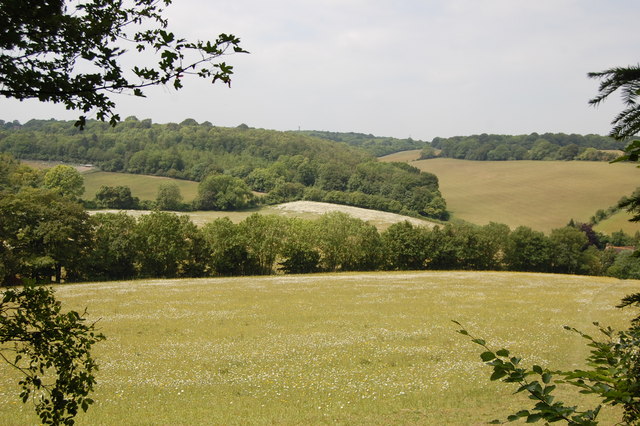
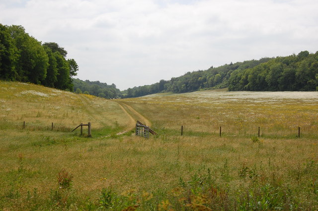
Well Hill is a small village located in the county of Kent, England. Situated on the North Downs, it is known for its picturesque landscapes and stunning views. The village is nestled amidst rolling hills and verdant countryside, making it a popular destination for nature enthusiasts and hikers.

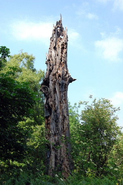
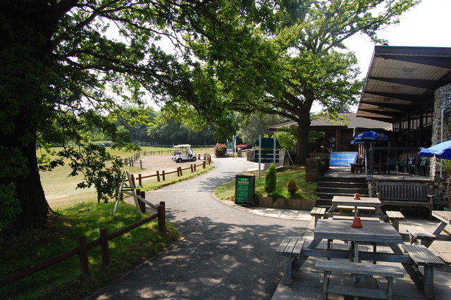
Well Hill is surrounded by an abundance of natural beauty, with the nearby High Elms Country Park offering visitors the opportunity to explore woodlands, meadows, and formal gardens. The area is also home to a diverse array of wildlife, including deer, foxes, and various bird species.

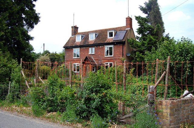
The village itself is characterized by its charming rural atmosphere and traditional architecture. It boasts a mix of period homes, quaint cottages, and modern residences, creating a unique blend of old and new. The community is close-knit, with a friendly and welcoming atmosphere.

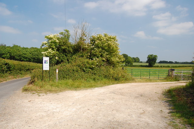
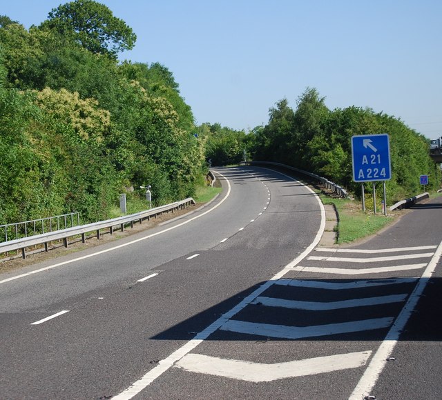
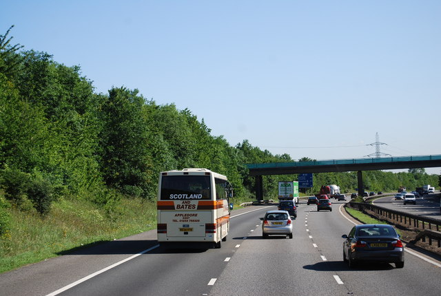
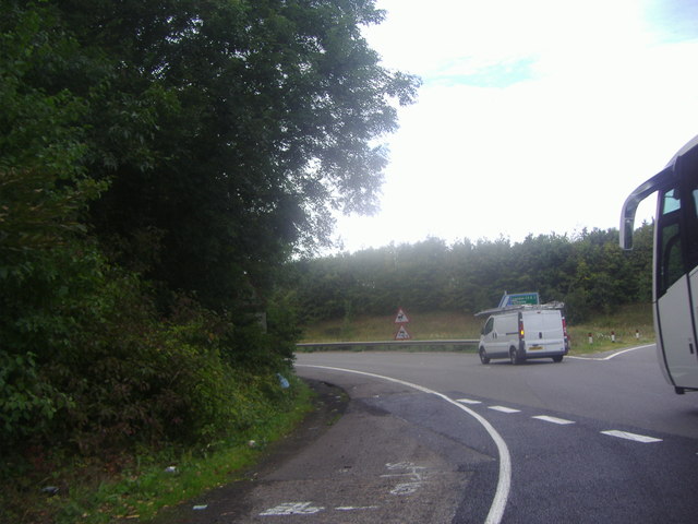
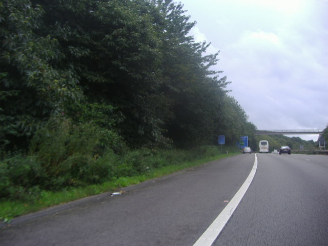
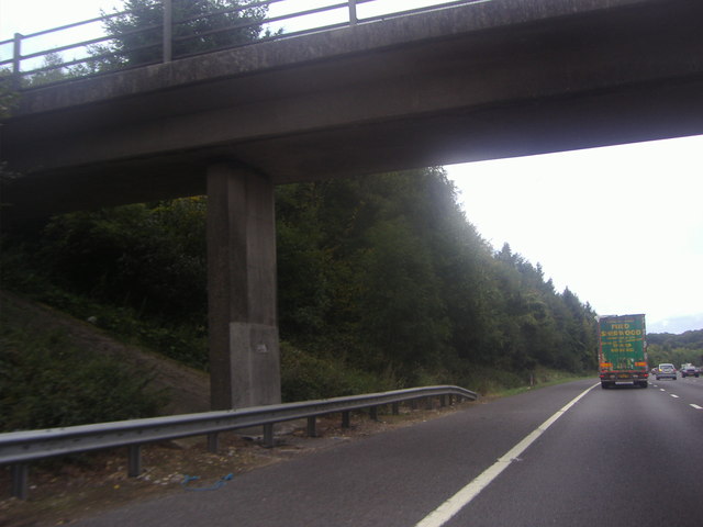
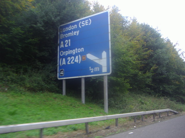
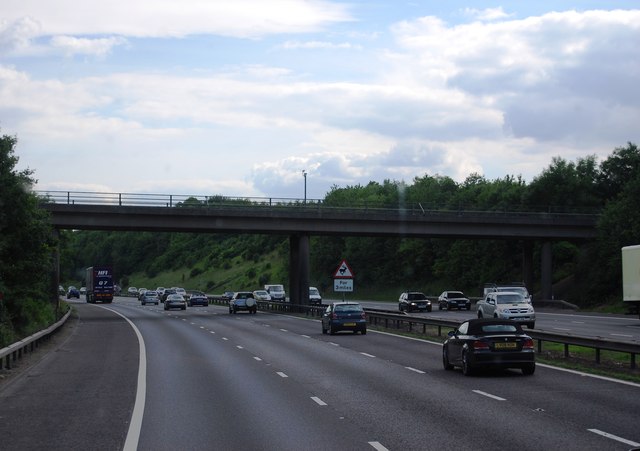
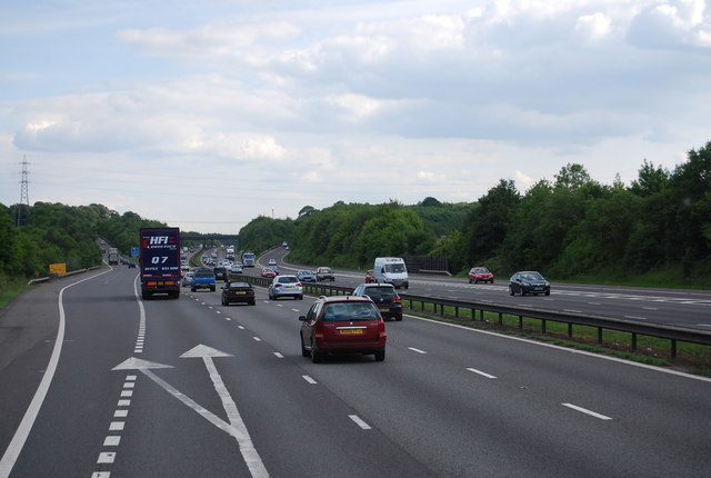
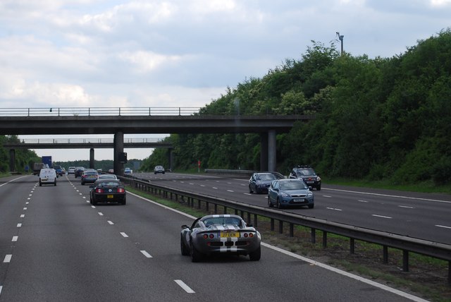
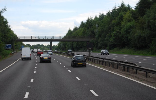
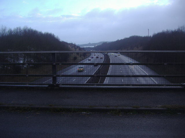
Despite its small size, Well Hill is conveniently located near several amenities. Nearby towns such as Orpington and Sevenoaks offer a range of shopping facilities, restaurants, and entertainment options. The village is also within easy reach of major transportation links, including the M25 motorway and several train stations.

Well Hill is not only a desirable place to live, but it also attracts visitors seeking a peaceful retreat. Its idyllic setting, coupled with its proximity to stunning natural landscapes, makes it an ideal location for those looking to escape the hustle and bustle of city life.

If you have any feedback on the listing, please let us know in the comments section below.

Well Hill Images

Images are sourced within 2km of 51.347242/0.14820446 or Grid Reference TQ4963. Thanks to Geograph Open Source API. All images are credited.

View from Meenfield Wood Emerging from Meenfield Wood towards Timberden Bottom, the pasture studded with white daisies.
View from Meenfield Wood
Emerging from Meenfield Wood towards Timberden Bottom, the pasture studded with white daisies.
Valley View Taken from the point where the footpath meets Shacklands Road at Timberden Bottom.
Hard to believe how close is the M25.
Valley View
Taken from the point where the footpath meets Shacklands Road at Timberden Bottom. Hard to believe how close is the M25.
Timberden Farm There should be a good crop of beans in the front garden later in the year.
Timberden Farm
There should be a good crop of beans in the front garden later in the year.
Farm track meets Redmans Lane The track to the right goes to Homewood Farm. The track is also start of the footpath to Dalhanna. The sign is advertising Castle Farm which lies in the valley ahead.
Farm track meets Redmans Lane
The track to the right goes to Homewood Farm. The track is also start of the footpath to Dalhanna. The sign is advertising Castle Farm which lies in the valley ahead.
Dead Tree, Beechen Wood The footpath through Beechen Wood passes by this dead tree which has obviously been much pecked by woodpeckers!
Dead Tree, Beechen Wood
The footpath through Beechen Wood passes by this dead tree which has obviously been much pecked by woodpeckers!
The Clubhouse, Lullingstone Park Golf Course The scene outside the clubhouse.
The Clubhouse, Lullingstone Park Golf Course
The scene outside the clubhouse.
Junction 4, M25 The M25 is a 117 mile orbital motorway that encircles London. It was constructed between 1975 and 1986.
The motorway is not a continuous loop as a section to the East of London at The Dartford Crossing is an A-Road.
Wikipedia; <span class="nowrap"><a title="http://en.wikipedia.org/wiki/M25_motorway" rel="nofollow ugc noopener" href="http://en.wikipedia.org/wiki/M25_motorway">Link</a><img style="margin-left:2px;" alt="External link" title="External link - shift click to open in new window" src="https://s1.geograph.org.uk/img/external.png" width="10" height="10"/></span>
Junction 4, M25
The M25 is a 117 mile orbital motorway that encircles London. It was constructed between 1975 and 1986. The motorway is not a continuous loop as a section to the East of London at The Dartford Crossing is an A-Road. Wikipedia; LinkExternal link
M25 near Parkgate Farm The M25 is a 117 mile orbital motorway that encircles London. It was constructed between 1975 and 1986.
The motorway is not a continuous loop as a section to the East of London at The Dartford Crossing is an A-Road.
Wikipedia; <span class="nowrap"><a title="http://en.wikipedia.org/wiki/M25_motorway" rel="nofollow ugc noopener" href="http://en.wikipedia.org/wiki/M25_motorway">Link</a><img style="margin-left:2px;" alt="External link" title="External link - shift click to open in new window" src="https://s1.geograph.org.uk/img/external.png" width="10" height="10"/></span>
M25 near Parkgate Farm
The M25 is a 117 mile orbital motorway that encircles London. It was constructed between 1975 and 1986. The motorway is not a continuous loop as a section to the East of London at The Dartford Crossing is an A-Road. Wikipedia; LinkExternal link
Exit 4 roundabout on the M25 Leading to Badgers Mount on the left turnoff
Exit 4 roundabout on the M25
Leading to Badgers Mount on the left turnoff
The M25 sliproad to Badgers Mount
Footbridge over the M25, Badgers Mount
Sign for the junction 4 exit on the M25
Parkgate Road Bridge, M25 The M25 is a 117 mile orbital motorway that encircles London. It was constructed between 1975 and 1986.
The motorway is not a continuous loop as a section to the East of London at The Dartford Crossing is an A-Road.
Wikipedia; <span class="nowrap"><a title="http://en.wikipedia.org/wiki/M25_motorway" rel="nofollow ugc noopener" href="http://en.wikipedia.org/wiki/M25_motorway">Link</a><img style="margin-left:2px;" alt="External link" title="External link - shift click to open in new window" src="https://s1.geograph.org.uk/img/external.png" width="10" height="10"/></span>
Parkgate Road Bridge, M25
The M25 is a 117 mile orbital motorway that encircles London. It was constructed between 1975 and 1986. The motorway is not a continuous loop as a section to the East of London at The Dartford Crossing is an A-Road. Wikipedia; LinkExternal link
Junction 4, M25 The M25 is a 117 mile orbital motorway that encircles London. It was constructed between 1975 and 1986.
The motorway is not a continuous loop as a section to the East of London at The Dartford Crossing is an A-Road.
Wikipedia; <span class="nowrap"><a title="http://en.wikipedia.org/wiki/M25_motorway" rel="nofollow ugc noopener" href="http://en.wikipedia.org/wiki/M25_motorway">Link</a><img style="margin-left:2px;" alt="External link" title="External link - shift click to open in new window" src="https://s1.geograph.org.uk/img/external.png" width="10" height="10"/></span>
Junction 4, M25
The M25 is a 117 mile orbital motorway that encircles London. It was constructed between 1975 and 1986. The motorway is not a continuous loop as a section to the East of London at The Dartford Crossing is an A-Road. Wikipedia; LinkExternal link
Footbridge over the M25 The M25 is a 117 mile orbital motorway that encircles London. It was constructed between 1975 and 1986.
The motorway is not a continuous loop as a section to the East of London at The Dartford Crossing is an A-Road.
Wikipedia; <span class="nowrap"><a title="http://en.wikipedia.org/wiki/M25_motorway" rel="nofollow ugc noopener" href="http://en.wikipedia.org/wiki/M25_motorway">Link</a><img style="margin-left:2px;" alt="External link" title="External link - shift click to open in new window" src="https://s1.geograph.org.uk/img/external.png" width="10" height="10"/></span>
Footbridge over the M25
The M25 is a 117 mile orbital motorway that encircles London. It was constructed between 1975 and 1986. The motorway is not a continuous loop as a section to the East of London at The Dartford Crossing is an A-Road. Wikipedia; LinkExternal link
The M25 from Parkgate Road near Lullingstone
The entrance to Lullingstone Park golf course
Show me another place!

Well Hill is located at Grid Ref: TQ4963 (Lat: 51.347242, Lng: 0.14820446)

Administrative County: Kent

District: Sevenoaks

Police Authority: Kent

What 3 Words

///swaps.safety.upon. Near Orpington, London

Related Wikis

Well Hill

Well Hill is a small rural hamlet within the civil parish of Shoreham in the Sevenoaks District of Kent, England. It lies 3 miles south east of Orpington...

Badgers Mount

Badgers Mount is a village and civil parish in the Sevenoaks District of Kent, England It is located 3.6 miles south east of Orpington and 5.6 miles north...

Knockholt railway station

Knockholt railway station is on the South Eastern Main Line, located in the London Borough of Bromley, Greater London. It is 16 miles 44 chains (26.6 km...

Hewitt's Chalk Bank

Hewitt's Chalk Bank is a 4-hectare (10-acre) nature reserve north-east of Pratt's Bottom in the London Borough of Bromley. It is managed by the Kent Wildlife...

Halstead, Kent

Halstead is a village and civil parish in the Sevenoaks District of Kent, England. It is located 4.7 miles south east of Orpington & 6.1 miles north west...

Chelsfield

Chelsfield is an area in south-east London, England, within the London Borough of Bromley and, prior to 1965, in the historic county of Kent. It lies south...

1934 London, Scottish & Provincial Airways Airspeed Courier crash

On 29 September 1934, an Airspeed Courier of London, Scottish & Provincial Airways Ltd crashed just north of Shoreham, Kent. The aircraft was on a scheduled...

St Margaret's Church, Halstead

St Margaret's Church is an Anglican parish church in the village of Halstead and the Sevenoaks deanery, although the church also serves the village of...

Nearby Amenities

Located within 500m of 51.347242,0.14820446
Power: tower
Lat/Long: 51.3485038/0.1513389
Power: tower
Lat/Long: 51.3465978/0.1437768
Power: pole
Lat/Long: 51.3469522/0.1461612
Power: pole
Lat/Long: 51.3464245/0.1439887
Power: pole
Lat/Long: 51.346401/0.144222
Power: pole
Lat/Long: 51.3490329/0.1542457
Power: pole
Lat/Long: 51.3481618/0.1514562
Power: pole
Lat/Long: 51.3475889/0.1480604
Power: pole
Lat/Long: 51.3470293/0.1460996
Power: pole
Lat/Long: 51.3482774/0.1515018
Power: pole
Lat/Long: 51.3475017/0.1480738
Power: pole
Lat/Long: 51.3487146/0.1529153
Power: pole
Lat/Long: 51.348713/0.1531809
Power: pole
Lat/Long: 51.3477798/0.1499111
Power: pole
Lat/Long: 51.3491134/0.1541652
Power: pole
Lat/Long: 51.3477095/0.1499379
Power: tower
Lat/Long: 51.347807/0.147926
Springwood - Kent Paintball Centre
Fixme: Broken: Website URL
Leisure: sports_centre
Operator: Delta Force
Phone: +44 844 4775050
Sport: shooting
Type: paintball
Website: http://www.paintballgamehttp://www.paintballgames.co.uk/kent-paintball-centreco.uk/
Lat/Long: 51.3478737/0.1418437
Bench
Lat/Long: 51.3477467/0.1478267
Man Made: survey_point
Lat/Long: 51.3472642/0.1483798
The data included in this document is from www.openstreetmap.org. The data is made available under ODbL.

Have you been to Well Hill?

Leave your review of Well Hill below (or comments, questions and feedback).