West Wood

Wood, Forest in Kent Sevenoaks

England

West Wood

View from Meenfield Wood Emerging from Meenfield Wood towards Timberden Bottom, the pasture studded with white daisies.
View from Meenfield Wood Credit: Trevor Harris

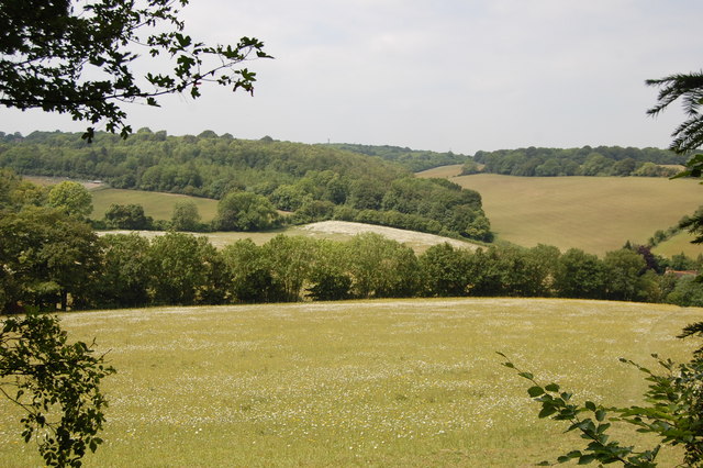
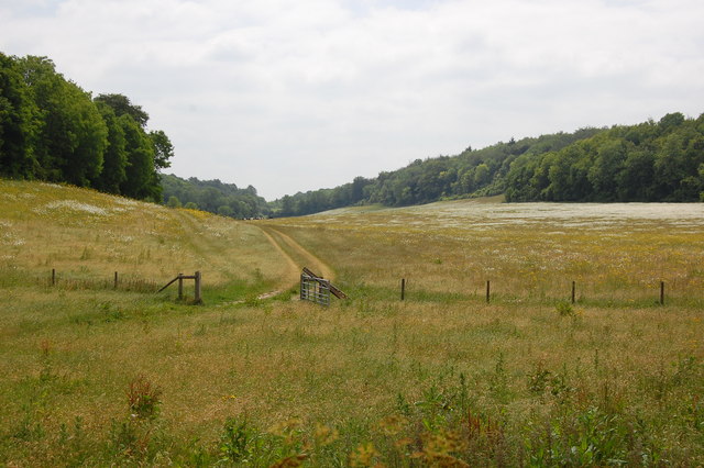
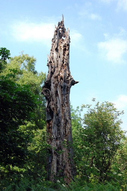
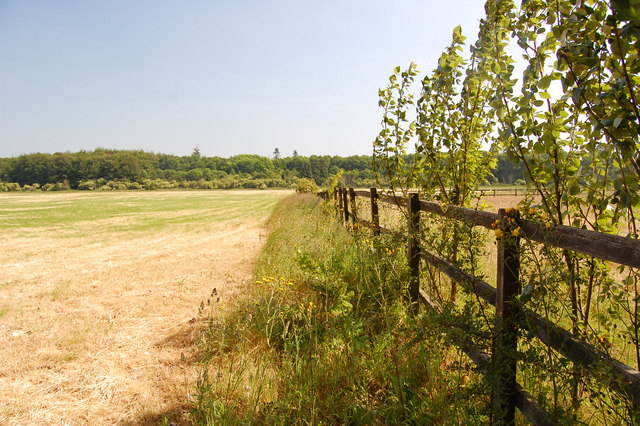
West Wood is a picturesque forest located in the county of Kent, England. Covering an area of approximately 1,000 acres, it is known for its diverse range of woodland habitats and rich biodiversity, making it an important site for conservation and wildlife enthusiasts.

The wood is predominantly made up of broadleaf trees, including oak, beech, and birch, which provide a stunning display of colors throughout the year. The forest floor is covered with a lush carpet of bluebells and wildflowers during spring, creating a breathtaking sight for visitors.

West Wood is home to a variety of wildlife species, including deer, badgers, and foxes. It is also a haven for birdwatchers, with an abundance of bird species such as woodpeckers, owls, and warblers. The wood is renowned for its rare butterfly species, including the silver-washed fritillary and the purple emperor.

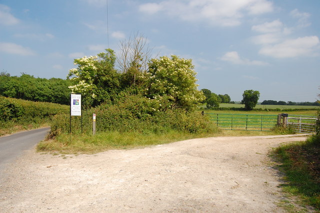
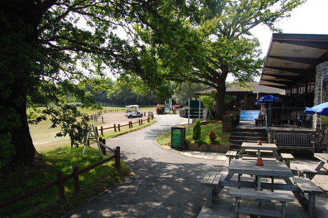
The forest offers a network of well-maintained trails and footpaths, allowing visitors to explore its natural beauty on foot or by bike. There are also designated picnic areas and viewpoints that offer panoramic vistas of the surrounding countryside.

West Wood is managed by the local conservation authority, which ensures the preservation of its natural habitats and the protection of its wildlife. Educational programs and guided tours are also available, providing visitors with an opportunity to learn about the forest's ecology and conservation efforts.

Overall, West Wood is a tranquil and enchanting destination for nature lovers, offering a unique and immersive experience in the heart of Kent's natural landscape.

If you have any feedback on the listing, please let us know in the comments section below.
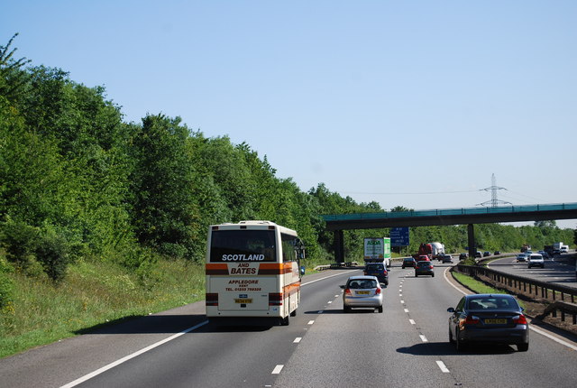
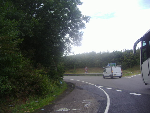
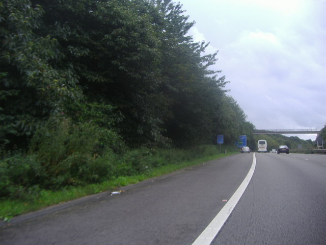
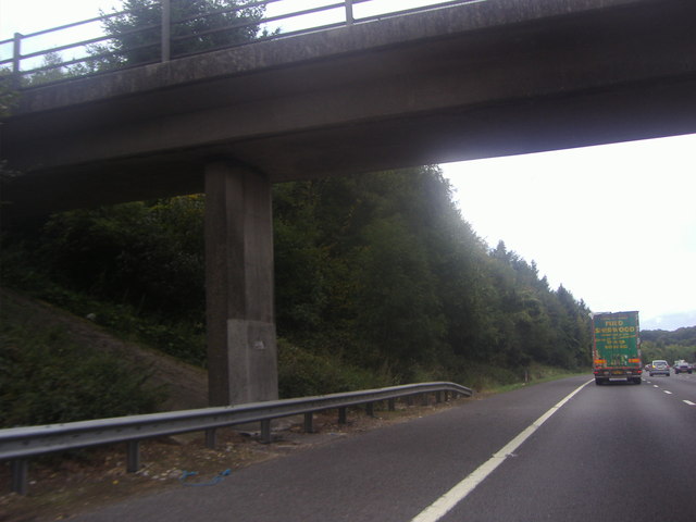
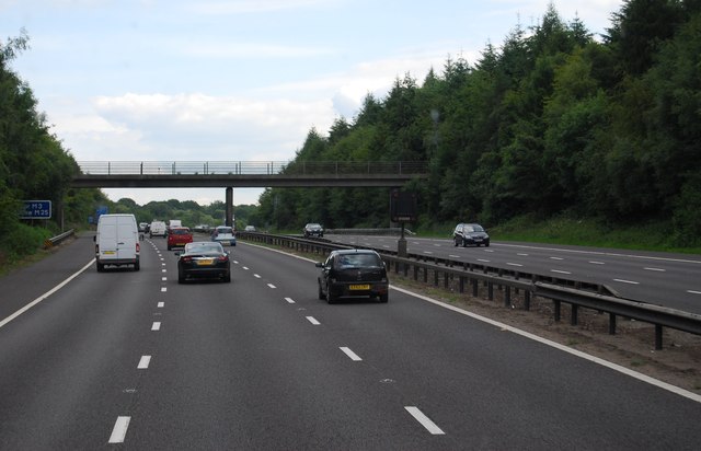
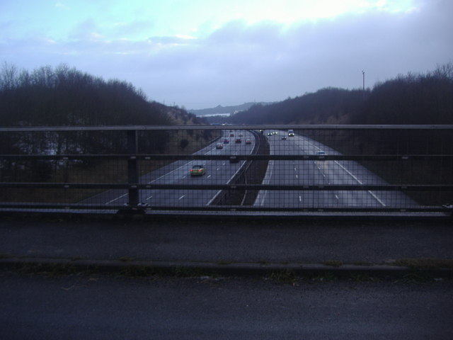
West Wood Images

Images are sourced within 2km of 51.348796/0.15124984 or Grid Reference TQ4963. Thanks to Geograph Open Source API. All images are credited.

View from Meenfield Wood Emerging from Meenfield Wood towards Timberden Bottom, the pasture studded with white daisies.
View from Meenfield Wood
Emerging from Meenfield Wood towards Timberden Bottom, the pasture studded with white daisies.
Valley View Taken from the point where the footpath meets Shacklands Road at Timberden Bottom.
Hard to believe how close is the M25.
Valley View
Taken from the point where the footpath meets Shacklands Road at Timberden Bottom. Hard to believe how close is the M25.
Timberden Farm There should be a good crop of beans in the front garden later in the year.
Timberden Farm
There should be a good crop of beans in the front garden later in the year.
Farm track meets Redmans Lane The track to the right goes to Homewood Farm. The track is also start of the footpath to Dalhanna. The sign is advertising Castle Farm which lies in the valley ahead.
Farm track meets Redmans Lane
The track to the right goes to Homewood Farm. The track is also start of the footpath to Dalhanna. The sign is advertising Castle Farm which lies in the valley ahead.
Dead Tree, Beechen Wood The footpath through Beechen Wood passes by this dead tree which has obviously been much pecked by woodpeckers!
Dead Tree, Beechen Wood
The footpath through Beechen Wood passes by this dead tree which has obviously been much pecked by woodpeckers!
The Clubhouse, Lullingstone Park Golf Course The scene outside the clubhouse.
The Clubhouse, Lullingstone Park Golf Course
The scene outside the clubhouse.
View from the footpath Looking south east from the path to Eynsford.
View from the footpath
Looking south east from the path to Eynsford.
Junction 4, M25 The M25 is a 117 mile orbital motorway that encircles London. It was constructed between 1975 and 1986.
The motorway is not a continuous loop as a section to the East of London at The Dartford Crossing is an A-Road.
Wikipedia; <span class="nowrap"><a title="http://en.wikipedia.org/wiki/M25_motorway" rel="nofollow ugc noopener" href="http://en.wikipedia.org/wiki/M25_motorway">Link</a><img style="margin-left:2px;" alt="External link" title="External link - shift click to open in new window" src="https://s1.geograph.org.uk/img/external.png" width="10" height="10"/></span>
Junction 4, M25
The M25 is a 117 mile orbital motorway that encircles London. It was constructed between 1975 and 1986. The motorway is not a continuous loop as a section to the East of London at The Dartford Crossing is an A-Road. Wikipedia; LinkExternal link
M25 near Parkgate Farm The M25 is a 117 mile orbital motorway that encircles London. It was constructed between 1975 and 1986.
The motorway is not a continuous loop as a section to the East of London at The Dartford Crossing is an A-Road.
Wikipedia; <span class="nowrap"><a title="http://en.wikipedia.org/wiki/M25_motorway" rel="nofollow ugc noopener" href="http://en.wikipedia.org/wiki/M25_motorway">Link</a><img style="margin-left:2px;" alt="External link" title="External link - shift click to open in new window" src="https://s1.geograph.org.uk/img/external.png" width="10" height="10"/></span>
M25 near Parkgate Farm
The M25 is a 117 mile orbital motorway that encircles London. It was constructed between 1975 and 1986. The motorway is not a continuous loop as a section to the East of London at The Dartford Crossing is an A-Road. Wikipedia; LinkExternal link
Exit 4 roundabout on the M25 Leading to Badgers Mount on the left turnoff
Exit 4 roundabout on the M25
Leading to Badgers Mount on the left turnoff
The M25 sliproad to Badgers Mount
Footbridge over the M25, Badgers Mount
Sign for the junction 4 exit on the M25
Parkgate Road Bridge, M25 The M25 is a 117 mile orbital motorway that encircles London. It was constructed between 1975 and 1986.
The motorway is not a continuous loop as a section to the East of London at The Dartford Crossing is an A-Road.
Wikipedia; <span class="nowrap"><a title="http://en.wikipedia.org/wiki/M25_motorway" rel="nofollow ugc noopener" href="http://en.wikipedia.org/wiki/M25_motorway">Link</a><img style="margin-left:2px;" alt="External link" title="External link - shift click to open in new window" src="https://s1.geograph.org.uk/img/external.png" width="10" height="10"/></span>
Parkgate Road Bridge, M25
The M25 is a 117 mile orbital motorway that encircles London. It was constructed between 1975 and 1986. The motorway is not a continuous loop as a section to the East of London at The Dartford Crossing is an A-Road. Wikipedia; LinkExternal link
Junction 4, M25 The M25 is a 117 mile orbital motorway that encircles London. It was constructed between 1975 and 1986.
The motorway is not a continuous loop as a section to the East of London at The Dartford Crossing is an A-Road.
Wikipedia; <span class="nowrap"><a title="http://en.wikipedia.org/wiki/M25_motorway" rel="nofollow ugc noopener" href="http://en.wikipedia.org/wiki/M25_motorway">Link</a><img style="margin-left:2px;" alt="External link" title="External link - shift click to open in new window" src="https://s1.geograph.org.uk/img/external.png" width="10" height="10"/></span>
Junction 4, M25
The M25 is a 117 mile orbital motorway that encircles London. It was constructed between 1975 and 1986. The motorway is not a continuous loop as a section to the East of London at The Dartford Crossing is an A-Road. Wikipedia; LinkExternal link
Footbridge over the M25 The M25 is a 117 mile orbital motorway that encircles London. It was constructed between 1975 and 1986.
The motorway is not a continuous loop as a section to the East of London at The Dartford Crossing is an A-Road.
Wikipedia; <span class="nowrap"><a title="http://en.wikipedia.org/wiki/M25_motorway" rel="nofollow ugc noopener" href="http://en.wikipedia.org/wiki/M25_motorway">Link</a><img style="margin-left:2px;" alt="External link" title="External link - shift click to open in new window" src="https://s1.geograph.org.uk/img/external.png" width="10" height="10"/></span>
Footbridge over the M25
The M25 is a 117 mile orbital motorway that encircles London. It was constructed between 1975 and 1986. The motorway is not a continuous loop as a section to the East of London at The Dartford Crossing is an A-Road. Wikipedia; LinkExternal link
The M25 from Parkgate Road near Lullingstone
Show me another place!

West Wood is located at Grid Ref: TQ4963 (Lat: 51.348796, Lng: 0.15124984)

Administrative County: Kent

District: Sevenoaks

Police Authority: Kent

What 3 Words

///rabble.first.local. Near Eynsford, Kent

Related Wikis

Well Hill

Well Hill is a small rural hamlet within the civil parish of Shoreham in the Sevenoaks District of Kent, England. It lies 3 miles south east of Orpington...

Badgers Mount

Badgers Mount is a village and civil parish in the Sevenoaks District of Kent, England It is located 3.6 miles south east of Orpington and 5.6 miles north...

Knockholt railway station

Knockholt railway station is on the South Eastern Main Line, located in the London Borough of Bromley, Greater London. It is 16 miles 44 chains (26.6 km...

1934 London, Scottish & Provincial Airways Airspeed Courier crash

On 29 September 1934, an Airspeed Courier of London, Scottish & Provincial Airways Ltd crashed just north of Shoreham, Kent. The aircraft was on a scheduled...

Hewitt's Chalk Bank

Hewitt's Chalk Bank is a 4-hectare (10-acre) nature reserve north-east of Pratt's Bottom in the London Borough of Bromley. It is managed by the Kent Wildlife...

Chelsfield

Chelsfield is an area in south-east London, England, within the London Borough of Bromley and, prior to 1965, in the historic county of Kent. It lies south...

Shoreham Memorial Cross

The Shoreham Memorial Cross is a Christian cross hill figure carved into a chalk escarpment above the village of Shoreham, Kent. The concept of the cross...

Halstead, Kent

Halstead is a village and civil parish in the Sevenoaks District of Kent, England. It is located 4.7 miles south east of Orpington & 6.1 miles north west...

Nearby Amenities

Located within 500m of 51.348796,0.15124984
Power: tower
Lat/Long: 51.3494026/0.1573611
Power: tower
Lat/Long: 51.3485038/0.1513389
Power: pole
Lat/Long: 51.3469522/0.1461612
Power: pole
Lat/Long: 51.3504256/0.1571827
Power: pole
Lat/Long: 51.3494919/0.1554766
Power: pole
Lat/Long: 51.3490329/0.1542457
Power: pole
Lat/Long: 51.3481618/0.1514562
Power: pole
Lat/Long: 51.3475889/0.1480604
Power: pole
Lat/Long: 51.3470293/0.1460996
Power: pole
Lat/Long: 51.3482774/0.1515018
Power: pole
Lat/Long: 51.3475017/0.1480738
Power: pole
Lat/Long: 51.3487146/0.1529153
Power: pole
Lat/Long: 51.348713/0.1531809
Power: pole
Lat/Long: 51.3477798/0.1499111
Power: pole
Lat/Long: 51.3503662/0.1573906
Power: pole
Lat/Long: 51.3491134/0.1541652
Power: pole
Lat/Long: 51.3477095/0.1499379
Material: wood
Power: pole
Lat/Long: 51.3494265/0.1556187
Power: tower
Lat/Long: 51.347807/0.147926
Bench
Lat/Long: 51.3477467/0.1478267
Man Made: survey_point
Lat/Long: 51.3472642/0.1483798
Speed Camera
Lat/Long: 51.3502853/0.1566452
Speed Camera
Maxspeed: 70 mph
Lat/Long: 51.3475101/0.1563012
Speed Camera
Maxspeed: 70 mph
Lat/Long: 51.3476278/0.1565259
The data included in this document is from www.openstreetmap.org. The data is made available under ODbL.

Have you been to West Wood?

Leave your review of West Wood below (or comments, questions and feedback).