Well Hill

Settlement in Kent Sevenoaks

England

Well Hill

Farm track meets Redmans Lane The track to the right goes to Homewood Farm. The track is also start of the footpath to Dalhanna. The sign is advertising Castle Farm which lies in the valley ahead.
Farm track meets Redmans Lane Credit: Trevor Harris

Well Hill is a small village located in the county of Kent, England. Situated in the Sevenoaks District, it falls within the civil parish of Otford. The village is nestled on the northern slope of the North Downs, offering breathtaking views of the surrounding countryside.

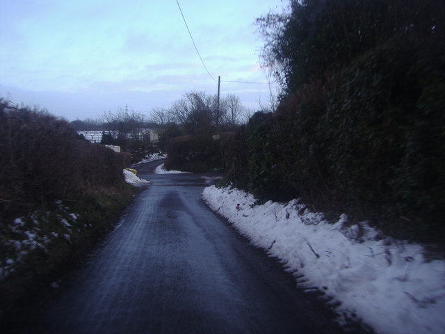
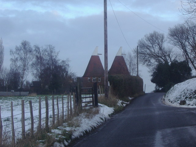
Well Hill is known for its picturesque and tranquil setting. The village is primarily residential, consisting of a mix of traditional cottages and modern houses. It has a close-knit community, with a population of around 500 residents. The village retains a sense of rural charm, with its tree-lined lanes and well-maintained gardens.

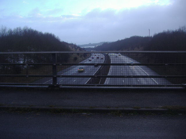
There are limited amenities in Well Hill itself, but the nearby towns of Sevenoaks and Orpington provide residents with a range of shops, supermarkets, and other services. The village benefits from its proximity to the M25 motorway, which allows for easy access to London and other parts of the county.

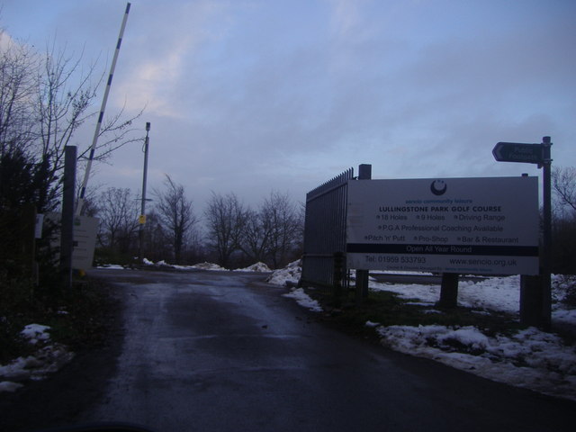
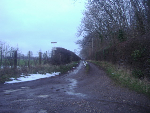
Well Hill is surrounded by beautiful countryside, making it an ideal location for outdoor enthusiasts. The area offers numerous walking and cycling trails, including the famous North Downs Way, which passes close to the village. The nearby Knole Park provides opportunities for wildlife spotting and leisurely strolls.

Overall, Well Hill is a charming and idyllic village in Kent, offering a peaceful retreat from the hustle and bustle of city life. Its natural beauty and close-knit community make it an attractive place to live for those seeking a rural lifestyle.

If you have any feedback on the listing, please let us know in the comments section below.
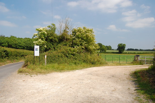
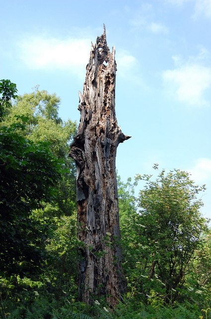
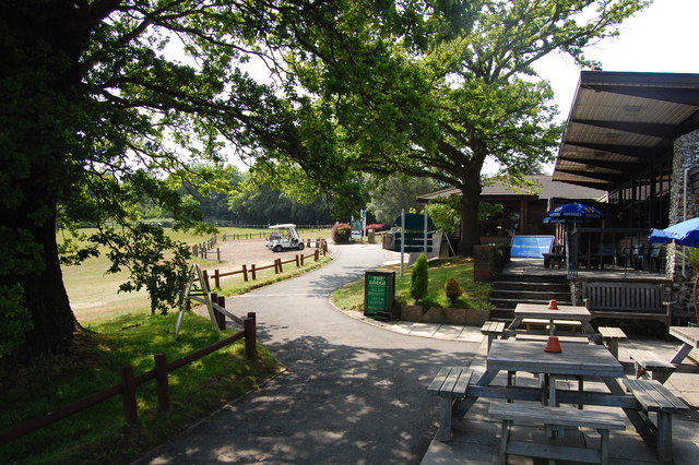
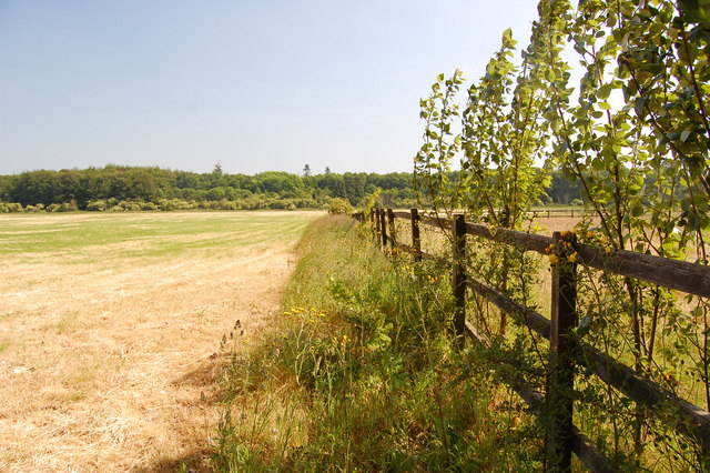
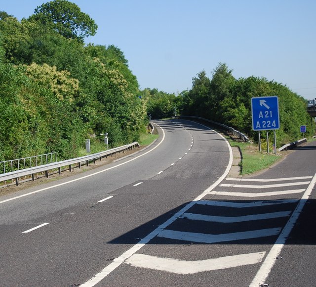
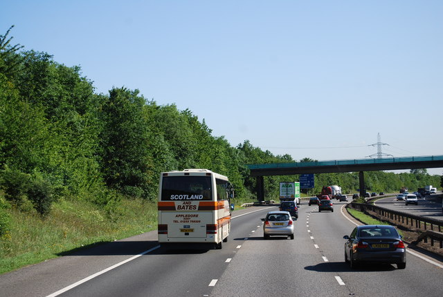
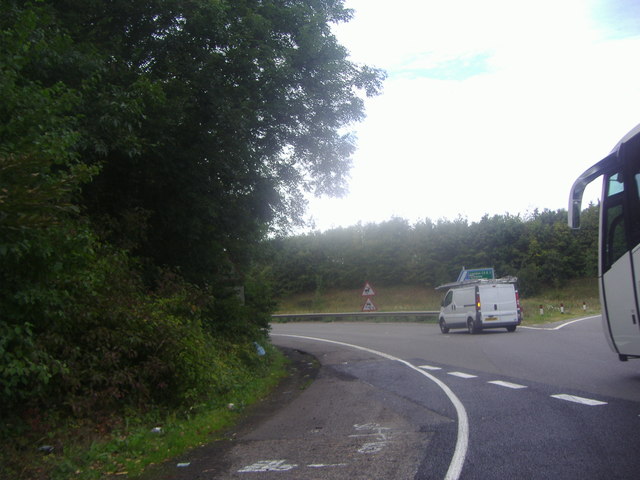
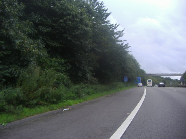
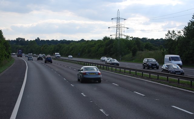
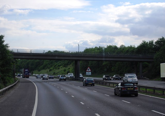
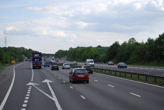
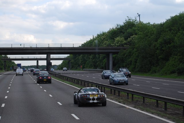
Well Hill Images

Images are sourced within 2km of 51.353993/0.14790265 or Grid Reference TQ4963. Thanks to Geograph Open Source API. All images are credited.

Farm track meets Redmans Lane The track to the right goes to Homewood Farm. The track is also start of the footpath to Dalhanna. The sign is advertising Castle Farm which lies in the valley ahead.
Farm track meets Redmans Lane
The track to the right goes to Homewood Farm. The track is also start of the footpath to Dalhanna. The sign is advertising Castle Farm which lies in the valley ahead.
Dead Tree, Beechen Wood The footpath through Beechen Wood passes by this dead tree which has obviously been much pecked by woodpeckers!
Dead Tree, Beechen Wood
The footpath through Beechen Wood passes by this dead tree which has obviously been much pecked by woodpeckers!
The Clubhouse, Lullingstone Park Golf Course The scene outside the clubhouse.
The Clubhouse, Lullingstone Park Golf Course
The scene outside the clubhouse.
View from the footpath Looking south east from the path to Eynsford.
View from the footpath
Looking south east from the path to Eynsford.
Junction 4, M25 The M25 is a 117 mile orbital motorway that encircles London. It was constructed between 1975 and 1986.
The motorway is not a continuous loop as a section to the East of London at The Dartford Crossing is an A-Road.
Wikipedia; <span class="nowrap"><a title="http://en.wikipedia.org/wiki/M25_motorway" rel="nofollow ugc noopener" href="http://en.wikipedia.org/wiki/M25_motorway">Link</a><img style="margin-left:2px;" alt="External link" title="External link - shift click to open in new window" src="https://s1.geograph.org.uk/img/external.png" width="10" height="10"/></span>
Junction 4, M25
The M25 is a 117 mile orbital motorway that encircles London. It was constructed between 1975 and 1986. The motorway is not a continuous loop as a section to the East of London at The Dartford Crossing is an A-Road. Wikipedia; LinkExternal link
M25 near Parkgate Farm The M25 is a 117 mile orbital motorway that encircles London. It was constructed between 1975 and 1986.
The motorway is not a continuous loop as a section to the East of London at The Dartford Crossing is an A-Road.
Wikipedia; <span class="nowrap"><a title="http://en.wikipedia.org/wiki/M25_motorway" rel="nofollow ugc noopener" href="http://en.wikipedia.org/wiki/M25_motorway">Link</a><img style="margin-left:2px;" alt="External link" title="External link - shift click to open in new window" src="https://s1.geograph.org.uk/img/external.png" width="10" height="10"/></span>
M25 near Parkgate Farm
The M25 is a 117 mile orbital motorway that encircles London. It was constructed between 1975 and 1986. The motorway is not a continuous loop as a section to the East of London at The Dartford Crossing is an A-Road. Wikipedia; LinkExternal link
Exit 4 roundabout on the M25 Leading to Badgers Mount on the left turnoff
Exit 4 roundabout on the M25
Leading to Badgers Mount on the left turnoff
The M25 sliproad to Badgers Mount
M25 southbound The M25 is a 117 mile orbital motorway that encircles London. It was constructed between 1975 and 1986.
The motorway is not a continuous loop as a section to the East of London at The Dartford Crossing is an A-Road.
Wikipedia; <span class="nowrap"><a title="http://en.wikipedia.org/wiki/M25_motorway" rel="nofollow ugc noopener" href="http://en.wikipedia.org/wiki/M25_motorway">Link</a><img style="margin-left:2px;" alt="External link" title="External link - shift click to open in new window" src="https://s1.geograph.org.uk/img/external.png" width="10" height="10"/></span>
M25 southbound
The M25 is a 117 mile orbital motorway that encircles London. It was constructed between 1975 and 1986. The motorway is not a continuous loop as a section to the East of London at The Dartford Crossing is an A-Road. Wikipedia; LinkExternal link
Parkgate Road Bridge, M25 The M25 is a 117 mile orbital motorway that encircles London. It was constructed between 1975 and 1986.
The motorway is not a continuous loop as a section to the East of London at The Dartford Crossing is an A-Road.
Wikipedia; <span class="nowrap"><a title="http://en.wikipedia.org/wiki/M25_motorway" rel="nofollow ugc noopener" href="http://en.wikipedia.org/wiki/M25_motorway">Link</a><img style="margin-left:2px;" alt="External link" title="External link - shift click to open in new window" src="https://s1.geograph.org.uk/img/external.png" width="10" height="10"/></span>
Parkgate Road Bridge, M25
The M25 is a 117 mile orbital motorway that encircles London. It was constructed between 1975 and 1986. The motorway is not a continuous loop as a section to the East of London at The Dartford Crossing is an A-Road. Wikipedia; LinkExternal link
Junction 4, M25 The M25 is a 117 mile orbital motorway that encircles London. It was constructed between 1975 and 1986.
The motorway is not a continuous loop as a section to the East of London at The Dartford Crossing is an A-Road.
Wikipedia; <span class="nowrap"><a title="http://en.wikipedia.org/wiki/M25_motorway" rel="nofollow ugc noopener" href="http://en.wikipedia.org/wiki/M25_motorway">Link</a><img style="margin-left:2px;" alt="External link" title="External link - shift click to open in new window" src="https://s1.geograph.org.uk/img/external.png" width="10" height="10"/></span>
Junction 4, M25
The M25 is a 117 mile orbital motorway that encircles London. It was constructed between 1975 and 1986. The motorway is not a continuous loop as a section to the East of London at The Dartford Crossing is an A-Road. Wikipedia; LinkExternal link
The M25 from Parkgate Road near Lullingstone
The entrance to Lullingstone Park golf course
Entrance to Home Wood, Redmans Lane
Entrance to The Barons, Redmans Lane
Firmingers Road at the junction of Rock Hill
Oast house on Well Hill Road
Show me another place!

Well Hill is located at Grid Ref: TQ4963 (Lat: 51.353993, Lng: 0.14790265)

Administrative County: Kent

District: Sevenoaks

Police Authority: Kent

What 3 Words

///edgy.focal.cheese. Near Orpington, London

Related Wikis

Well Hill

Well Hill is a small rural hamlet within the civil parish of Shoreham in the Sevenoaks District of Kent, England. It lies 3 miles south east of Orpington...

Chelsfield

Chelsfield is an area in south-east London, England, within the London Borough of Bromley and, prior to 1965, in the historic county of Kent. It lies south...

Knockholt railway station

Knockholt railway station is on the South Eastern Main Line, located in the London Borough of Bromley, Greater London. It is 16 miles 44 chains (26.6 km...

Badgers Mount

Badgers Mount is a village and civil parish in the Sevenoaks District of Kent, England It is located 3.6 miles south east of Orpington and 5.6 miles north...

Hewitt's Chalk Bank

Hewitt's Chalk Bank is a 4-hectare (10-acre) nature reserve north-east of Pratt's Bottom in the London Borough of Bromley. It is managed by the Kent Wildlife...

1934 London, Scottish & Provincial Airways Airspeed Courier crash

On 29 September 1934, an Airspeed Courier of London, Scottish & Provincial Airways Ltd crashed just north of Shoreham, Kent. The aircraft was on a scheduled...

Halstead, Kent

Halstead is a village and civil parish in the Sevenoaks District of Kent, England. It is located 4.7 miles south east of Orpington & 6.1 miles north west...

St Margaret's Church, Halstead

St Margaret's Church is an Anglican parish church in the village of Halstead and the Sevenoaks deanery, although the church also serves the village of...

Nearby Amenities

Located within 500m of 51.353993,0.14790265
Post Box
Brand: Royal Mail
Brand Wikidata: Q638098
Collection Times: Mo-Fr 16:30; Sa 11:30
Operator: Royal Mail
Operator Wikidata: Q638098
Post Box Mounting: brick_pillar
Post Box Type: wall
Ref: BR6 110
Royal Cypher: EIIR
Royal Cypher Wikidata: Q33102113
Lat/Long: 51.354767/0.1448545
Telephone
Defibrillator
Access: yes
Booth: K6
Covered: booth
Defibrillator Location: inside old red phone box in Well Hill
Emergency: defibrillator
Heritage: yes
Listed Status: Grade II
Man Made: telephone_box
Wikidata: Q26482075
Lat/Long: 51.3547686/0.1449087
Well Hill
Place: village
Wikidata: Q7981092
Lat/Long: 51.3540853/0.1476987
Barrier: yes
Lat/Long: 51.3535646/0.153958
Maypole
Place: village
Lat/Long: 51.3545322/0.1408208
Access: yes
Barrier: kissing_gate
Bicycle: no
Foot: yes
Horse: no
Motor Vehicle: no
Lat/Long: 51.3548828/0.1429467
The data included in this document is from www.openstreetmap.org. The data is made available under ODbL.

Have you been to Well Hill?

Leave your review of Well Hill below (or comments, questions and feedback).