Coneyearth Wood

Wood, Forest in Kent Sevenoaks

England

Coneyearth Wood

Valley View Taken from the point where the footpath meets Shacklands Road at Timberden Bottom.
Hard to believe how close is the M25.
Valley View Credit: Trevor Harris

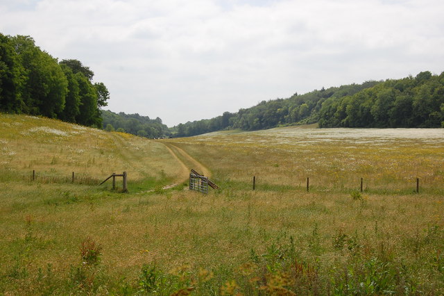
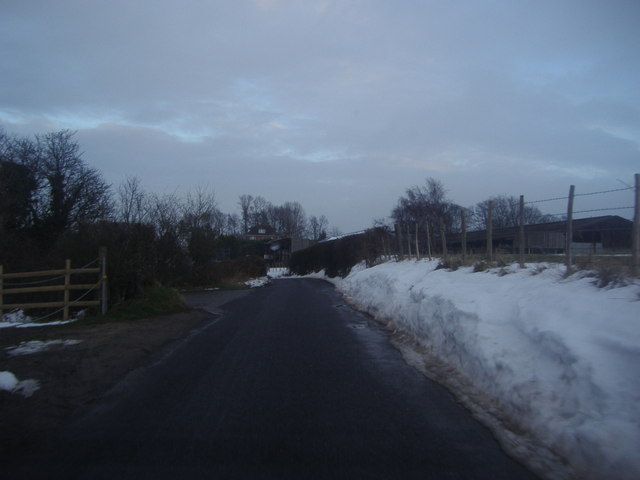
Coneyearth Wood is a picturesque woodland located in Kent, England. Covering an area of approximately 50 acres, this enchanting forest is nestled within the beautiful countryside, offering visitors a tranquil escape from the bustling city life.

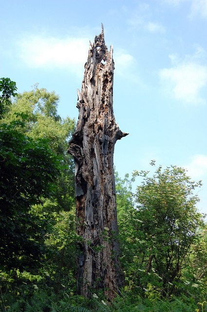
The wood is predominantly made up of deciduous trees, including oak, beech, and ash, which provide a rich canopy that filters the sunlight, creating a dappled effect on the forest floor. The diverse range of flora and fauna found in Coneyearth Wood makes it a haven for nature enthusiasts and wildlife photographers alike.

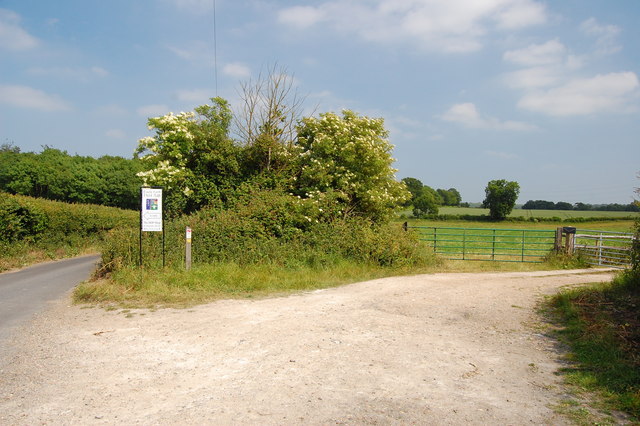
Walking through the wood, visitors will come across a network of well-maintained paths, allowing for easy exploration of the area. There are also designated picnic areas scattered throughout, providing the perfect spot for a relaxed lunch amidst the natural surroundings.

The wood is home to a variety of wildlife, such as deer, rabbits, and numerous bird species. Nature lovers can often spot woodpeckers, nuthatches, and tawny owls, among others, making it a popular destination for birdwatching enthusiasts.

Coneyearth Wood also has historical significance, with evidence of ancient settlements found within its boundaries. Archaeological studies have uncovered relics from the Iron Age and Roman periods, adding an extra layer of intrigue to this already captivating woodland.

Overall, Coneyearth Wood is a charming destination that offers visitors a chance to connect with nature, explore its rich biodiversity, and immerse themselves in the history and tranquility of this idyllic woodland setting.

If you have any feedback on the listing, please let us know in the comments section below.

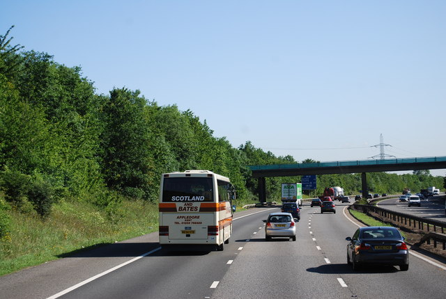
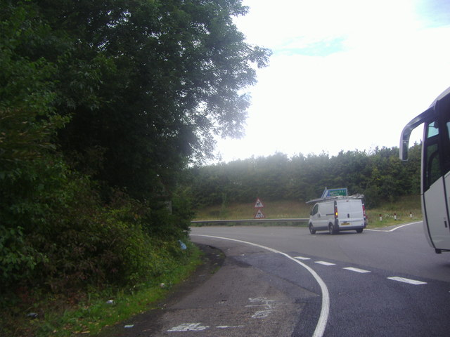
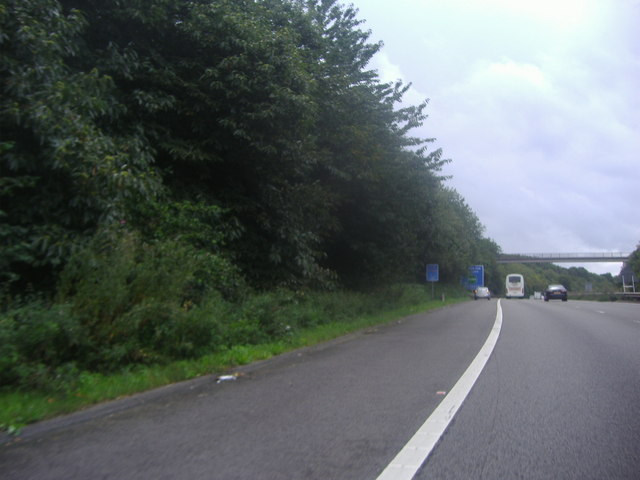
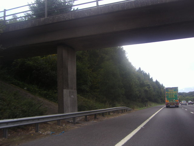
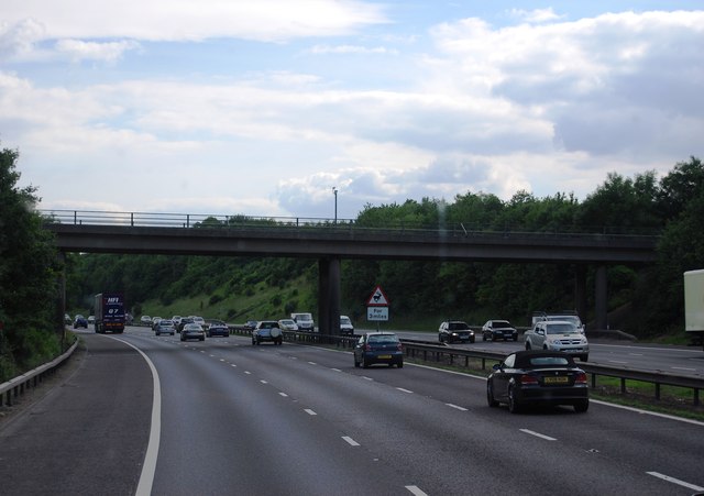
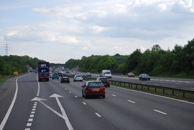
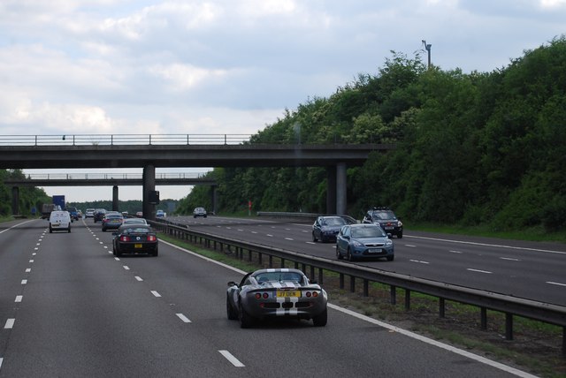
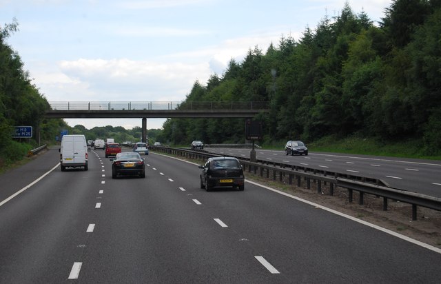
Coneyearth Wood Images

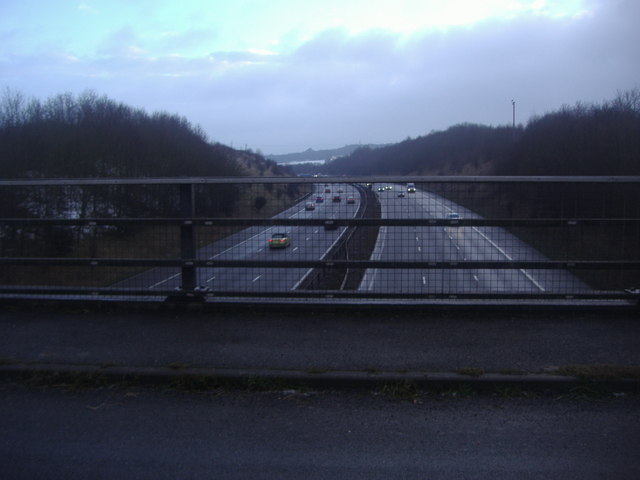
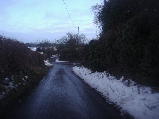
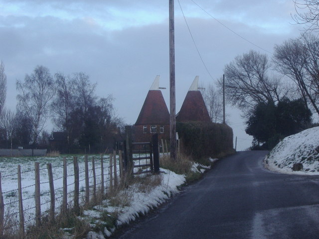
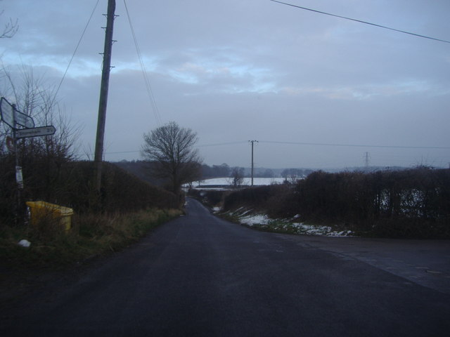
Images are sourced within 2km of 51.347508/0.14105101 or Grid Reference TQ4963. Thanks to Geograph Open Source API. All images are credited.

Valley View Taken from the point where the footpath meets Shacklands Road at Timberden Bottom.
Hard to believe how close is the M25.
Valley View
Taken from the point where the footpath meets Shacklands Road at Timberden Bottom. Hard to believe how close is the M25.
Farm track meets Redmans Lane The track to the right goes to Homewood Farm. The track is also start of the footpath to Dalhanna. The sign is advertising Castle Farm which lies in the valley ahead.
Farm track meets Redmans Lane
The track to the right goes to Homewood Farm. The track is also start of the footpath to Dalhanna. The sign is advertising Castle Farm which lies in the valley ahead.
Dead Tree, Beechen Wood The footpath through Beechen Wood passes by this dead tree which has obviously been much pecked by woodpeckers!
Dead Tree, Beechen Wood
The footpath through Beechen Wood passes by this dead tree which has obviously been much pecked by woodpeckers!
Junction 4, M25 The M25 is a 117 mile orbital motorway that encircles London. It was constructed between 1975 and 1986.
The motorway is not a continuous loop as a section to the East of London at The Dartford Crossing is an A-Road.
Wikipedia; <span class="nowrap"><a title="http://en.wikipedia.org/wiki/M25_motorway" rel="nofollow ugc noopener" href="http://en.wikipedia.org/wiki/M25_motorway">Link</a><img style="margin-left:2px;" alt="External link" title="External link - shift click to open in new window" src="https://s1.geograph.org.uk/img/external.png" width="10" height="10"/></span>
Junction 4, M25
The M25 is a 117 mile orbital motorway that encircles London. It was constructed between 1975 and 1986. The motorway is not a continuous loop as a section to the East of London at The Dartford Crossing is an A-Road. Wikipedia; LinkExternal link
M25 near Parkgate Farm The M25 is a 117 mile orbital motorway that encircles London. It was constructed between 1975 and 1986.
The motorway is not a continuous loop as a section to the East of London at The Dartford Crossing is an A-Road.
Wikipedia; <span class="nowrap"><a title="http://en.wikipedia.org/wiki/M25_motorway" rel="nofollow ugc noopener" href="http://en.wikipedia.org/wiki/M25_motorway">Link</a><img style="margin-left:2px;" alt="External link" title="External link - shift click to open in new window" src="https://s1.geograph.org.uk/img/external.png" width="10" height="10"/></span>
M25 near Parkgate Farm
The M25 is a 117 mile orbital motorway that encircles London. It was constructed between 1975 and 1986. The motorway is not a continuous loop as a section to the East of London at The Dartford Crossing is an A-Road. Wikipedia; LinkExternal link
Exit 4 roundabout on the M25 Leading to Badgers Mount on the left turnoff
Exit 4 roundabout on the M25
Leading to Badgers Mount on the left turnoff
The M25 sliproad to Badgers Mount
Footbridge over the M25, Badgers Mount
Parkgate Road Bridge, M25 The M25 is a 117 mile orbital motorway that encircles London. It was constructed between 1975 and 1986.
The motorway is not a continuous loop as a section to the East of London at The Dartford Crossing is an A-Road.
Wikipedia; <span class="nowrap"><a title="http://en.wikipedia.org/wiki/M25_motorway" rel="nofollow ugc noopener" href="http://en.wikipedia.org/wiki/M25_motorway">Link</a><img style="margin-left:2px;" alt="External link" title="External link - shift click to open in new window" src="https://s1.geograph.org.uk/img/external.png" width="10" height="10"/></span>
Parkgate Road Bridge, M25
The M25 is a 117 mile orbital motorway that encircles London. It was constructed between 1975 and 1986. The motorway is not a continuous loop as a section to the East of London at The Dartford Crossing is an A-Road. Wikipedia; LinkExternal link
Junction 4, M25 The M25 is a 117 mile orbital motorway that encircles London. It was constructed between 1975 and 1986.
The motorway is not a continuous loop as a section to the East of London at The Dartford Crossing is an A-Road.
Wikipedia; <span class="nowrap"><a title="http://en.wikipedia.org/wiki/M25_motorway" rel="nofollow ugc noopener" href="http://en.wikipedia.org/wiki/M25_motorway">Link</a><img style="margin-left:2px;" alt="External link" title="External link - shift click to open in new window" src="https://s1.geograph.org.uk/img/external.png" width="10" height="10"/></span>
Junction 4, M25
The M25 is a 117 mile orbital motorway that encircles London. It was constructed between 1975 and 1986. The motorway is not a continuous loop as a section to the East of London at The Dartford Crossing is an A-Road. Wikipedia; LinkExternal link
Footbridge over the M25 The M25 is a 117 mile orbital motorway that encircles London. It was constructed between 1975 and 1986.
The motorway is not a continuous loop as a section to the East of London at The Dartford Crossing is an A-Road.
Wikipedia; <span class="nowrap"><a title="http://en.wikipedia.org/wiki/M25_motorway" rel="nofollow ugc noopener" href="http://en.wikipedia.org/wiki/M25_motorway">Link</a><img style="margin-left:2px;" alt="External link" title="External link - shift click to open in new window" src="https://s1.geograph.org.uk/img/external.png" width="10" height="10"/></span>
Footbridge over the M25
The M25 is a 117 mile orbital motorway that encircles London. It was constructed between 1975 and 1986. The motorway is not a continuous loop as a section to the East of London at The Dartford Crossing is an A-Road. Wikipedia; LinkExternal link
The M25 from Parkgate Road near Lullingstone
Firmingers Road at the junction of Rock Hill
Oast house on Well Hill Road
Well Hill Road at the junction of Cockerhurst Road
Great Cockerhurst farm from Well Hill Road The entrance to Cockerhurst farm opposite is on the left
Great Cockerhurst farm from Well Hill Road
The entrance to Cockerhurst farm opposite is on the left
Junction 4, M25 westbound
Show me another place!

Coneyearth Wood is located at Grid Ref: TQ4963 (Lat: 51.347508, Lng: 0.14105101)

Administrative County: Kent

District: Sevenoaks

Police Authority: Kent

What 3 Words

///sheet.happy.valve. Near Orpington, London

Related Wikis

Knockholt railway station

Knockholt railway station is on the South Eastern Main Line, located in the London Borough of Bromley, Greater London. It is 16 miles 44 chains (26.6 km...

Well Hill

Well Hill is a small rural hamlet within the civil parish of Shoreham in the Sevenoaks District of Kent, England. It lies 3 miles south east of Orpington...

Badgers Mount

Badgers Mount is a village and civil parish in the Sevenoaks District of Kent, England It is located 3.6 miles south east of Orpington and 5.6 miles north...

Hewitt's Chalk Bank

Hewitt's Chalk Bank is a 4-hectare (10-acre) nature reserve north-east of Pratt's Bottom in the London Borough of Bromley. It is managed by the Kent Wildlife...

Chelsfield

Chelsfield is an area in south-east London, England, within the London Borough of Bromley and, prior to 1965, in the historic county of Kent. It lies south...

Halstead, Kent

Halstead is a village and civil parish in the Sevenoaks District of Kent, England. It is located 4.7 miles south east of Orpington & 6.1 miles north west...

St Margaret's Church, Halstead

St Margaret's Church is an Anglican parish church in the village of Halstead and the Sevenoaks deanery, although the church also serves the village of...

Pratt's Bottom

Pratt's Bottom is a village in Greater London, England, within the London Borough of Bromley and, prior to 1965, within the historic county of Kent. It...

Nearby Amenities

Located within 500m of 51.347508,0.14105101
Power: tower
Lat/Long: 51.3465978/0.1437768
Power: tower
Lat/Long: 51.3455112/0.1405542
Barrier: stile
Lat/Long: 51.3503795/0.1400269
Barrier: stile
Lat/Long: 51.3471362/0.1381387
Power: pole
Lat/Long: 51.3469522/0.1461612
Power: pole
Lat/Long: 51.3464245/0.1439887
Power: pole
Lat/Long: 51.346401/0.144222
Power: pole
Lat/Long: 51.3475889/0.1480604
Power: pole
Lat/Long: 51.3470293/0.1460996
Power: pole
Lat/Long: 51.3475017/0.1480738
Power: tower
Lat/Long: 51.347807/0.147926
Springwood - Kent Paintball Centre
Fixme: Broken: Website URL
Leisure: sports_centre
Operator: Delta Force
Phone: +44 844 4775050
Sport: shooting
Type: paintball
Website: http://www.paintballgamehttp://www.paintballgames.co.uk/kent-paintball-centreco.uk/
Lat/Long: 51.3478737/0.1418437
Bench
Lat/Long: 51.3477467/0.1478267
Prestige Cars Kent
Addr City: Orpington
Addr Postcode: BR6 7QR
Addr Street: Hewitts Road
Check Date: 2022-11-22
Currency GBP: yes
Currency XBT: yes
Description: Specialise in the sales and service of prestige cars.
Payment Lightning: no
Payment Lightning Contactless: no
Payment Onchain: yes
Phone: +44 1689 364 177
Second Hand: only
Shop: car
Website: https://www.prestigecarskent.co.uk/
Lat/Long: 51.3500867/0.1372097
The data included in this document is from www.openstreetmap.org. The data is made available under ODbL.

Have you been to Coneyearth Wood?

Leave your review of Coneyearth Wood below (or comments, questions and feedback).