Bullbank Wood
Wood, Forest in Sussex Wealden
England
Bullbank Wood
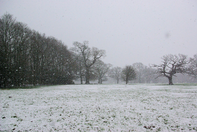
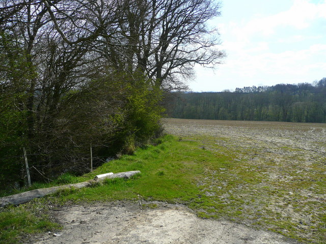
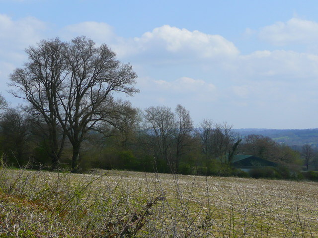
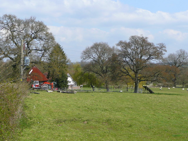
Bullbank Wood is a picturesque woodland located in the county of Sussex, England. Covering an area of approximately 50 acres, this enchanting forest is known for its natural beauty and diversity of flora and fauna. The wood is situated near the village of Bullbank, nestled within the rolling hills of the South Downs.
The woodland is predominantly composed of native broadleaf trees, including oak, beech, and ash, which create a rich canopy that provides shade and shelter to a variety of wildlife. The forest floor is adorned with a carpet of bluebells during the spring season, creating a stunning display of color.
Walking through Bullbank Wood, visitors can expect to encounter an array of wildlife. The wood is home to numerous species of birds, including woodpeckers, owls, and warblers, which can be heard singing their melodious tunes throughout the year. Mammals such as deer, foxes, and badgers also inhabit the forest, making it a haven for nature enthusiasts and wildlife photographers.
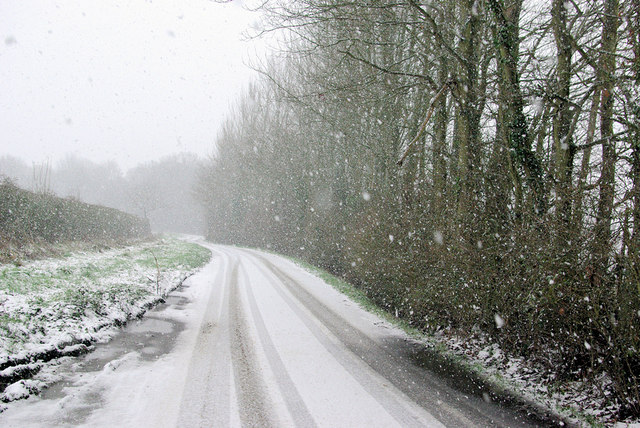
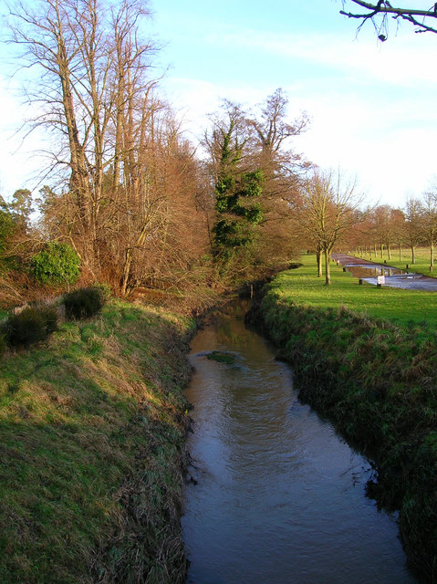
The wood offers a network of well-maintained footpaths and trails, allowing visitors to explore its beauty at their own pace. Along the way, one can stumble upon hidden clearings, babbling brooks, and even an ancient oak tree believed to be over 500 years old.
Bullbank Wood provides a tranquil escape from the hustle and bustle of everyday life, offering visitors a chance to reconnect with nature and immerse themselves in the serene surroundings. Whether it is a leisurely stroll, a picnic among the trees, or birdwatching, Bullbank Wood is a haven for those seeking solace in the beauty of the natural world.
If you have any feedback on the listing, please let us know in the comments section below.
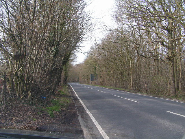
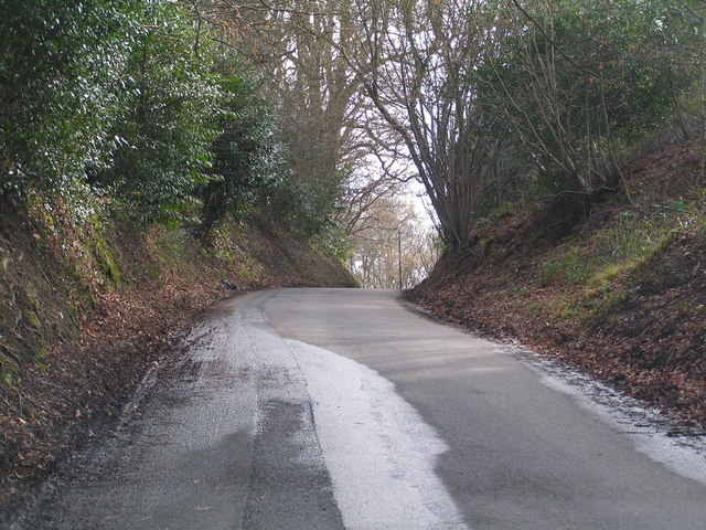
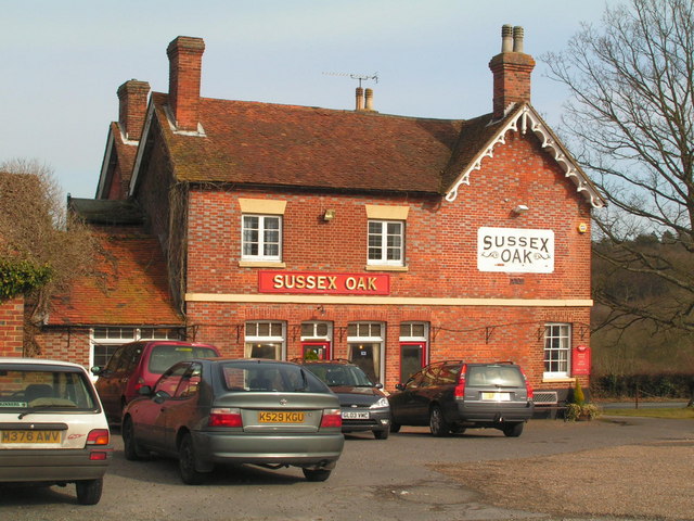
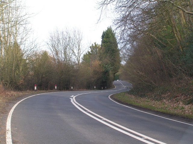
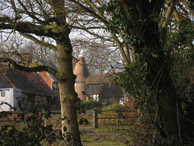
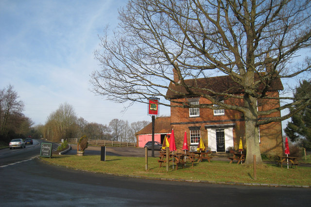
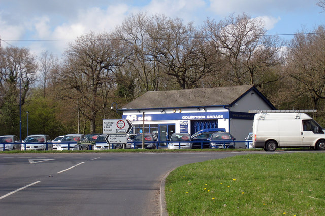
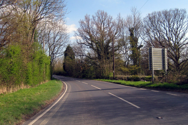
Bullbank Wood Images
Images are sourced within 2km of 51.13109/0.13099656 or Grid Reference TQ4939. Thanks to Geograph Open Source API. All images are credited.


Bullbank Wood is located at Grid Ref: TQ4939 (Lat: 51.13109, Lng: 0.13099656)
Administrative County: East Sussex
District: Wealden
Police Authority: Sussex
What 3 Words
///driftwood.dude.wacky. Near Groombridge, East Sussex
Nearby Locations
Related Wikis

Blackham
Blackham is a village in the Wealden district of East Sussex. It lies within the Withyham civil parish. Its nearest town is Royal Tunbridge Wells, which...

Ashurst railway station
Ashurst railway station is on the Uckfield branch of the Oxted line in southern England and serves Ashurst in Kent (very close to the East Sussex border...

Mills Rocks
Mills Rocks is a 1.9-hectare (4.7-acre) biological Site of Special Scientific Interest south-east of East Grinstead in West Sussex.This site has rock outcrops...

Bolebroke Castle
Bolebroke Castle is a 15th-century hunting lodge located north of the village of Hartfield, East Sussex, England. It is a Grade II* listed building.The...

Bolebroke Castle Miniature Railway
The Bolebroke Castle Miniature Railway or Bolebroke Castle and Lakes Railway (often abbreviated to BC&LR) was a 7+1⁄4 inches (180 mm) railway that ran...
River Grom
The River Grom is a short tributary of the River Medway near Tunbridge Wells in south-east England. Flowing westwards through High Rocks and Groombridge...

Arun Valley line
The Arun Valley line, also known as the Mid Sussex line, is part of the Southern- and Thameslink-operated railway services. For the initial part of the...

Cowden rail crash
The Cowden rail crash occurred on 15 October 1994, near Cowden Station in Kent (UK), when two trains collided head-on, killing five and injuring thirteen...
Related Videos

Tea at Pooh Corner, Hartfield 🫖
Join me to have tea at Pooh Corner in Hartfield, UK They also have a Pooh'seum & a gift ship! #winniethepooh #poohcorner ...

Porsche 996 Turbo, VW Corrado Peugeot 205 GTI BMW M3 Audi TT VW Golf R Spitfire BMX Supergoose
Lovely stable full of classics available at www.felbridgecarcompany.co.uk.

Pooh Corner, Pooh Bridge & The Hundred Acre Woods 2023!
Make sure to like and subscribe! Tiktok - https://vm.tiktok.com/ZMRmUmaqd/ Head to my Instagram bio ...

#Aterrizando En El #Aeropuerto Internacional Con Más Tráfico Del Mundo 🌎 #Hartsfield-#Jackson 😁
Aterrizando En El #Aeropuerto Internacional Con Más Tráfico Del Mundo #Hartsfield-#Jackson #accidentesaereos ...
Nearby Amenities
Located within 500m of 51.13109,0.13099656Have you been to Bullbank Wood?
Leave your review of Bullbank Wood below (or comments, questions and feedback).