Pound Wood

Wood, Forest in Sussex Wealden

England

Pound Wood

The Road to Edenbridge (B2026) The B2026 runs 20 miles north - south from Westerham to Maresfield, via Edenbridge. It crosses Ashdown Forest.
<span class="nowrap"><a title="http://www.sabre-roads.org.uk/wiki/index.php?title=B2026" rel="nofollow ugc noopener" href="http://www.sabre-roads.org.uk/wiki/index.php?title=B2026">Link</a><img style="margin-left:2px;" alt="External link" title="External link - shift click to open in new window" src="https://s1.geograph.org.uk/img/external.png" width="10" height="10"/></span>
The Road to Edenbridge (B2026) Credit: N Chadwick

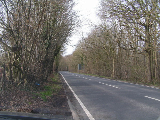
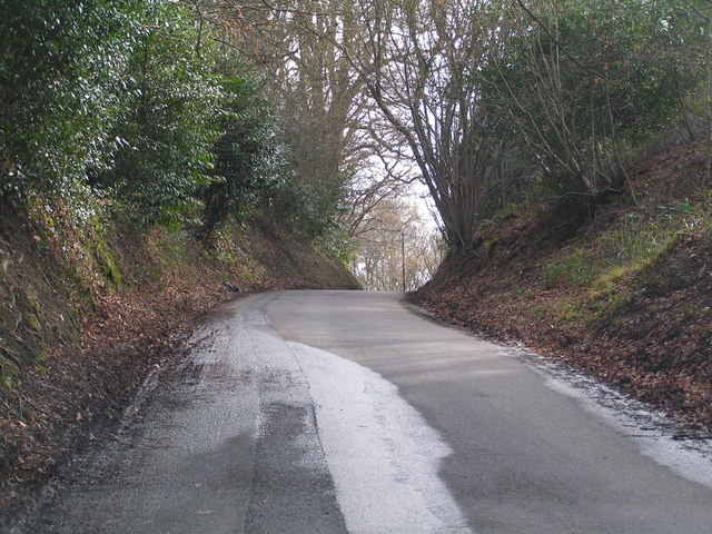
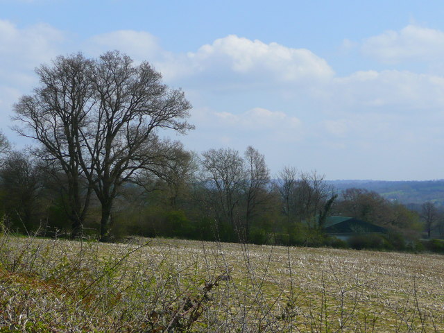
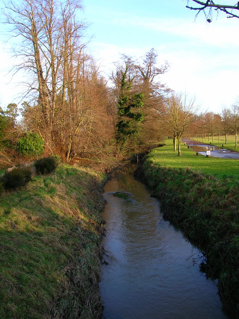
Pound Wood is a picturesque forest located in Sussex, England. Covering an area of approximately 50 acres, it is known for its natural beauty and diverse wildlife. The wood is situated near the village of Forest Row, providing a peaceful and serene escape from the hustle and bustle of urban life.

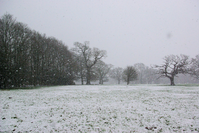
The woodland is predominantly made up of deciduous trees, including oak, beech, and birch, which create a vibrant and ever-changing canopy throughout the seasons. Walking through the wood, visitors can enjoy the dappled sunlight filtering through the leaves, creating a magical atmosphere.

Pound Wood is also home to a variety of wildlife species. Bird enthusiasts will be delighted to spot woodpeckers, nuthatches, and tawny owls among the treetops. Additionally, the wood is inhabited by small mammals such as foxes, badgers, and roe deer, providing a glimpse into the natural ecosystem of the area.

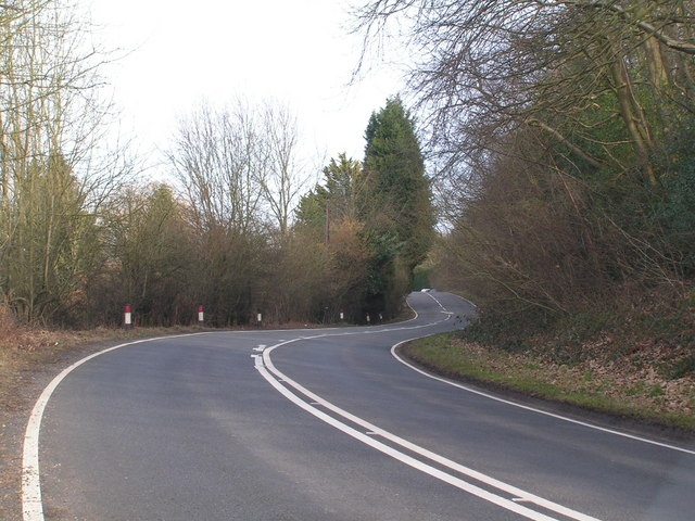
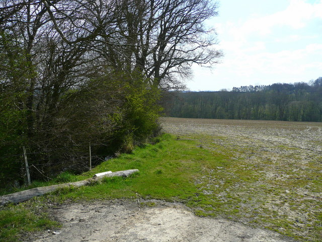
For those seeking outdoor activities, Pound Wood offers several walking trails and pathways, allowing visitors to explore its enchanting surroundings. The wood is well-maintained, with clear signposts and information boards providing guidance and educational insights into the local flora and fauna.

Furthermore, Pound Wood is a designated Site of Special Scientific Interest (SSSI), highlighting its importance for conservation and biodiversity. The wood is carefully managed to protect its unique ecosystem and preserve its natural beauty for future generations to enjoy.

Overall, Pound Wood in Sussex is a charming and idyllic woodland, offering a tranquil retreat for nature lovers, hikers, and wildlife enthusiasts alike.

If you have any feedback on the listing, please let us know in the comments section below.
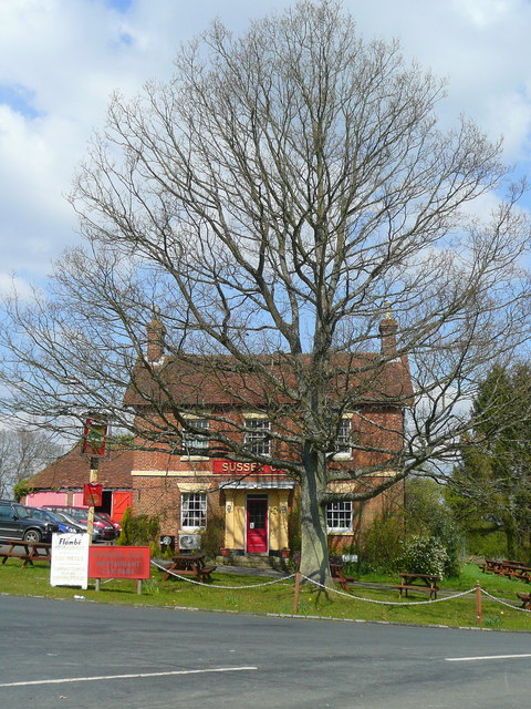
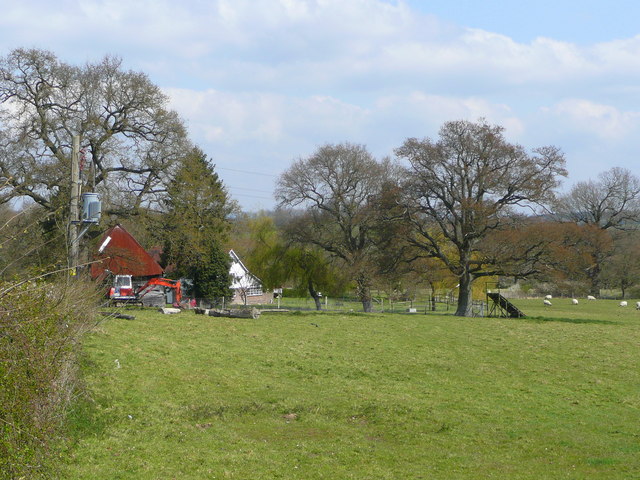
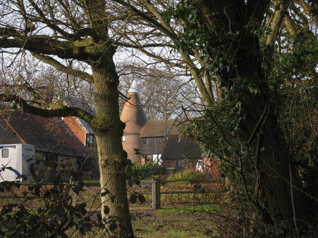
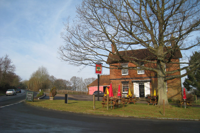
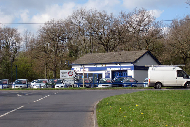
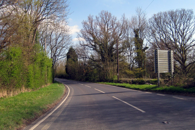
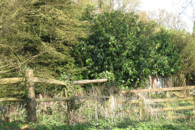
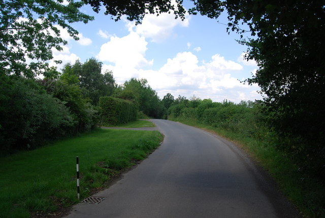
Pound Wood Images

Images are sourced within 2km of 51.135597/0.1324191 or Grid Reference TQ4939. Thanks to Geograph Open Source API. All images are credited.

The Road to Edenbridge (B2026) The B2026 runs 20 miles north - south from Westerham to Maresfield, via Edenbridge. It crosses Ashdown Forest.
<span class="nowrap"><a title="http://www.sabre-roads.org.uk/wiki/index.php?title=B2026" rel="nofollow ugc noopener" href="http://www.sabre-roads.org.uk/wiki/index.php?title=B2026">Link</a><img style="margin-left:2px;" alt="External link" title="External link - shift click to open in new window" src="https://s1.geograph.org.uk/img/external.png" width="10" height="10"/></span>
The Road to Edenbridge (B2026)
The B2026 runs 20 miles north - south from Westerham to Maresfield, via Edenbridge. It crosses Ashdown Forest. LinkExternal link
Kentish Byway
Kentish Byway
Sussex Oak Public House A large roadside inn on the A264 Tunbridge Wells to East Grinstead Road.
Sadly now closed, see <a href="https://www.geograph.org.uk/photo/2944951">TQ4839 : Formerly The Sussex Oak</a>
Sussex Oak Public House
A large roadside inn on the A264 Tunbridge Wells to East Grinstead Road. Sadly now closed, see TQ4839 : Formerly The Sussex Oak
A264 Tunbridge Wells to East Grinstead road, not too busy!
A264
Tunbridge Wells to East Grinstead road, not too busy!
B2026 by Tye Farm Cottages A snowy morning, but a well salted road.
B2026 by Tye Farm Cottages
A snowy morning, but a well salted road.
In the Snow The general direction of the footpath to Lodgefield Farm.
In the Snow
The general direction of the footpath to Lodgefield Farm.
Beech Green Lane in the Snow Falling snow confuses autofocus greatly.
Beech Green Lane in the Snow
Falling snow confuses autofocus greatly.
Red Telephone Box at B2026 crossroads near Holtye Red K6 telephone box at A264/B2026 crossroads near Holtye.
Red Telephone Box at B2026 crossroads near Holtye
Red K6 telephone box at A264/B2026 crossroads near Holtye.
Wealden field south of Blackham The soil lies damp here.
Wealden field south of Blackham
The soil lies damp here.
Unploughed field near Blackham A building at Stephnett's Farm can just be seen.
Unploughed field near Blackham
A building at Stephnett's Farm can just be seen.
The Sussex Oak Both pub and tree alongside the A264 between Ashurst and Holtye.
The welcome sight of Shepherd Neame's scarlet signage!
The Sussex Oak
Both pub and tree alongside the A264 between Ashurst and Holtye. The welcome sight of Shepherd Neame's scarlet signage!
Field by Blackham Lane View north from the junction with the A264 by the Sussex Oak.
Field by Blackham Lane
View north from the junction with the A264 by the Sussex Oak.
Oast House, Salehurst, Blackham, East Sussex Single round kiln oast house.
Oast House, Salehurst, Blackham, East Sussex
Single round kiln oast house.
Sussex Oak Public House, Blackham, East Sussex Former Shepherd Neame pub, now free house.
Sussex Oak Public House, Blackham, East Sussex
Former Shepherd Neame pub, now free house.
Colestock Garage On B2026
Colestock Garage
On B2026
Edenbridge Road Towards Hartfield.
Edenbridge Road
Towards Hartfield.
Remains of Oast House near Perryhill Farmhouse, Hartfield, East Sussex Now heavily covered in foliage.
Remains of Oast House near Perryhill Farmhouse, Hartfield, East Sussex
Now heavily covered in foliage.
Lane north of Teasley Mead, Blackham
Show me another place!

Pound Wood is located at Grid Ref: TQ4939 (Lat: 51.135597, Lng: 0.1324191)

Administrative County: East Sussex

District: Wealden

Police Authority: Sussex

What 3 Words

///arrival.blanks.easygoing. Near Groombridge, East Sussex

Related Wikis

Blackham

Blackham is a village in the Wealden district of East Sussex. It lies within the Withyham civil parish. Its nearest town is Royal Tunbridge Wells, which...

Ashurst railway station

Ashurst railway station is on the Uckfield branch of the Oxted line in southern England and serves Ashurst in Kent (very close to the East Sussex border...

Cowden rail crash

The Cowden rail crash occurred on 15 October 1994, near Cowden Station in Kent (UK), when two trains collided head-on, killing five and injuring thirteen...

Cowden Meadow

Cowden Meadow is a 1.1-hectare (2.7-acre) biological Site of Special Scientific Interest east of Cowden in Kent.This site has flora which are found on...

Mills Rocks

Mills Rocks is a 1.9-hectare (4.7-acre) biological Site of Special Scientific Interest south-east of East Grinstead in West Sussex.This site has rock outcrops...

Bolebroke Castle

Bolebroke Castle is a 15th-century hunting lodge located north of the village of Hartfield, East Sussex, England. It is a Grade II* listed building.The...

Bolebroke Castle Miniature Railway

The Bolebroke Castle Miniature Railway or Bolebroke Castle and Lakes Railway (often abbreviated to BC&LR) was a 7+1⁄4 inches (180 mm) railway that ran...

River Grom

The River Grom is a short tributary of the River Medway near Tunbridge Wells in south-east England. Flowing westwards through High Rocks and Groombridge...

Nearby Amenities

Located within 500m of 51.135597,0.1324191
Power: tower
Lat/Long: 51.1350076/0.1282828
Power: tower
Lat/Long: 51.1379997/0.1380841
Power: tower
Lat/Long: 51.1371605/0.1352629
Power: tower
Lat/Long: 51.1361938/0.1321326
Salehurst Farm
Place: farm
Source Name: OS_OpenData_Streetview
Lat/Long: 51.1392424/0.1312114
The data included in this document is from www.openstreetmap.org. The data is made available under ODbL.

Have you been to Pound Wood?

Leave your review of Pound Wood below (or comments, questions and feedback).