Ash Plantation

Wood, Forest in Cambridgeshire South Cambridgeshire

England

Ash Plantation

Field Farm Cottages
Field Farm Cottages Credit: roger shaw

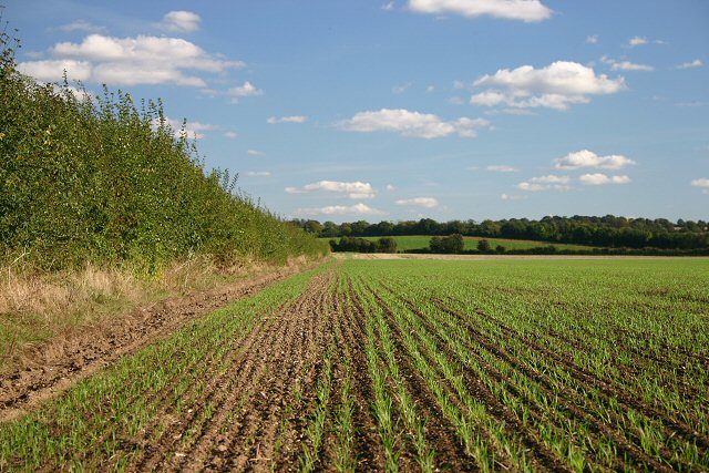
Ash Plantation is a wood located in Cambridgeshire, England. Covering an area of approximately 100 acres, it is a thriving forest that attracts nature enthusiasts and locals alike. The plantation is primarily composed of ash trees, hence its name, although it also features a diverse range of other tree species such as oak, birch, and beech.

The wood is characterized by its dense canopy, providing a cool and shady environment. The understory is rich with an assortment of flora, including bluebells, ferns, and wild garlic, which create a stunning display during the spring months. The forest floor is covered in a thick layer of moss and fallen leaves, adding to its enchanting atmosphere.

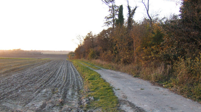
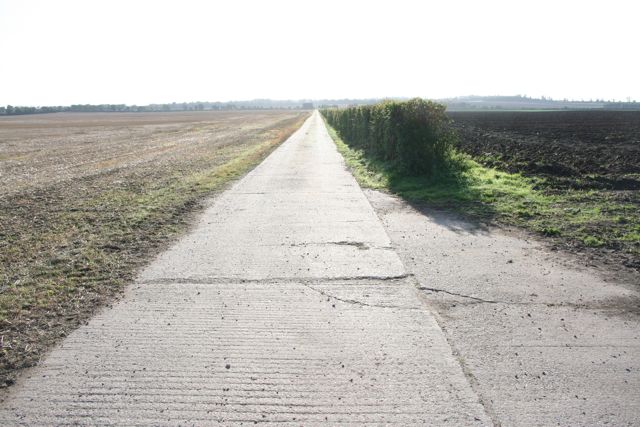
Ash Plantation offers various recreational activities for visitors. There are well-maintained walking trails that wind through the woods, providing opportunities for leisurely strolls, jogging, or dog walking. Birdwatchers can spot a variety of avian species, including woodpeckers, owls, and songbirds. The forest is also home to small mammals such as rabbits, squirrels, and foxes.

As a managed woodland, Ash Plantation is subject to regular maintenance and conservation efforts. The local forestry commission ensures the health and vitality of the trees, while also managing any potential risks such as disease or invasive species. This ensures the long-term sustainability of the plantation while preserving its natural beauty.

Overall, Ash Plantation is a captivating woodland that offers a peaceful escape from the hustle and bustle of urban life. Its diverse ecosystem, well-maintained trails, and tranquil ambiance make it a favorite destination for nature enthusiasts and those seeking solace in the beauty of the natural world.

If you have any feedback on the listing, please let us know in the comments section below.

Ash Plantation Images

Images are sourced within 2km of 52.093362/0.17783761 or Grid Reference TL4946. Thanks to Geograph Open Source API. All images are credited.

Field Farm Cottages
Field Farm Cottages
Field at Pampisford A farm track runs along the left side of the hedgerow, leading to farmland between the A505 and the A11.
Field at Pampisford
A farm track runs along the left side of the hedgerow, leading to farmland between the A505 and the A11.
Track and ploughed field South of Hinxton Grange at sunset.
Track and ploughed field
South of Hinxton Grange at sunset.
Straight concrete farm track at Pampisford Looking more like the air strip at nearby Duxford than a farm track.
Straight concrete farm track at Pampisford
Looking more like the air strip at nearby Duxford than a farm track.
Field track beyond a little-used farm store at Hinxton Piles of beets surrounded by straw bales, a few empty farm buildings then this track heading nowhere.
Field track beyond a little-used farm store at Hinxton
Piles of beets surrounded by straw bales, a few empty farm buildings then this track heading nowhere.
Unused farm store near Hinxton
Road sign near Genome Campus On the A1301 near Stump Cross.
Road sign near Genome Campus
On the A1301 near Stump Cross.
Old Milestone Old milestone near to Hinxton, Cambridgeshire on the A1301. For close up view see <a title="https://www.geograph.org.uk/photo/1535062" href="https://www.geograph.org.uk/photo/1535062">Link</a>
Old Milestone
Old milestone near to Hinxton, Cambridgeshire on the A1301. For close up view see Link
Old Milestone Old milestone near to Hinxton, Cambridgeshire on the A1301. For overall view see <a title="https://www.geograph.org.uk/photo/1535043" href="https://www.geograph.org.uk/photo/1535043">Link</a>
Old Milestone
Old milestone near to Hinxton, Cambridgeshire on the A1301. For overall view see Link
A11 approaching the M11
Heading south on the A11
Roundabout just south of Hinxton on A1301
Hinxton from the air Junction 9a (nearest camera) and 9 of the M11 motorway are prominent.
Hinxton from the air
Junction 9a (nearest camera) and 9 of the M11 motorway are prominent.
Wheat field by the A11
Belles Snacks, A11 A mobile foot outlet in a layby.
Belles Snacks, A11
A mobile foot outlet in a layby.
A11 The A11 is a major road in Eastern England. It runs roughly north east for 111 miles from London to Norwich, With the M11 opening in the 1970s and then the A12 extension in 1999, a lengthy section has been downgraded between the suburbs of east London and the north-west corner of the county of Essex. It also overlaps with the A14 on the Newmarket bypass.
<span class="nowrap"><a title="http://www.sabre-roads.org.uk/wiki/index.php?title=A11" rel="nofollow ugc noopener" href="http://www.sabre-roads.org.uk/wiki/index.php?title=A11">Link</a><img style="margin-left:2px;" alt="External link" title="External link - shift click to open in new window" src="https://s1.geograph.org.uk/img/external.png" width="10" height="10"/></span>
A11
The A11 is a major road in Eastern England. It runs roughly north east for 111 miles from London to Norwich, With the M11 opening in the 1970s and then the A12 extension in 1999, a lengthy section has been downgraded between the suburbs of east London and the north-west corner of the county of Essex. It also overlaps with the A14 on the Newmarket bypass. LinkExternal link
Prairie Landscape
Prairie Landscape
A11 There is a very short section of the A11 in this square.
A11
There is a very short section of the A11 in this square.
Show me another place!

Ash Plantation is located at Grid Ref: TL4946 (Lat: 52.093362, Lng: 0.17783761)

Administrative County: Cambridgeshire

District: South Cambridgeshire

Police Authority: Cambridgeshire

What 3 Words

///salutes.spite.mailings. Near Duxford, Cambridgeshire

Nearby Locations

Ash Plantation

Related Wikis

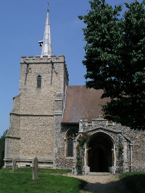
St Mary and St John Church, Hinxton

St Mary and St John Church is a Church of England parish church in the village of Hinxton in Cambridgeshire. It is a medieval flint and rubble church in...

Hanley Grange

Hanley Grange is the name given to an eco-town planned for land north of Hinxton in South Cambridgeshire. Initial proposals for 8,000 homes rising to...

Wellcome Genome Campus

The Wellcome Genome Campus is a scientific research campus built in the grounds of Hinxton Hall, Hinxton in Cambridgeshire, England. == Campus == The Campus...

Hinxton

Hinxton is a village in South Cambridgeshire, England. The River Cam runs through the village, as does the Cambridge to Liverpool Street railway, though...

St Peter's Church, Duxford

St Peter's Church is a Church of England parish church in the village of Duxford in Cambridgeshire. From medieval times until the 19th century it was one...

Parachute Regiment and Airborne Forces Museum

The Parachute Regiment and Airborne Forces Museum is based at Duxford in Cambridgeshire and tells the story of the Parachute Regiment and other airborne...

Duxford

Duxford is a village in Cambridgeshire, England, about 10 miles (16 km) south of Cambridge. It is part of the Hundred Parishes area. == History == The...

Duxford Chapel

Duxford Chapel is a chapel that was once part of the Hospital of St. John, founded by William de Colville (d.1230) at Duxford, in Cambridgeshire, England...

Related Videos

Ringstone, Duxford

Ensum Brown are delighted to offer for sale this double-fronted link-detached family home in Duxford. This property enjoys a ...

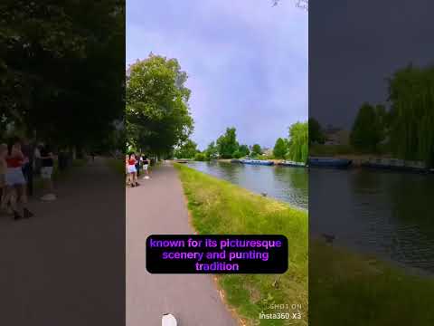
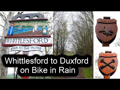
Whittlesford to Duxford and IWM Duxford on Bike in Rain | Cambridgeshire, UK

whittlesford #duxford #cambridgeshire Picking Towns brings for you a virtual bike ride from Whilttlesford village to the Duxford ...

Nearby Amenities

Located within 500m of 52.093362,0.17783761
Power: pole
Lat/Long: 52.0900613/0.1752868
Power: pole
Lat/Long: 52.0935882/0.1748576
Power: pole
Lat/Long: 52.0918411/0.1750722
Power: pole
Lat/Long: 52.0909644/0.1751902
Power: pole
Lat/Long: 52.0961981/0.1744929
Power: pole
Lat/Long: 52.0927178/0.1749649
Power: pole
Lat/Long: 52.0892571/0.1754155
Power: pole
Lat/Long: 52.097075/0.174407
Power: pole
Lat/Long: 52.0944514/0.1747933
Power: pole
Lat/Long: 52.0953346/0.1746323
Parking
Lat/Long: 52.0923536/0.1812914
Power: pole
Lat/Long: 52.095545/0.1716825
Power: pole
Lat/Long: 52.0924339/0.1709637
Power: pole
Lat/Long: 52.094553/0.1713821
Power: pole
Lat/Long: 52.0933041/0.171012
The data included in this document is from www.openstreetmap.org. The data is made available under ODbL.

Have you been to Ash Plantation?

Leave your review of Ash Plantation below (or comments, questions and feedback).