Chalkhurst Wood

Wood, Forest in Kent Sevenoaks

England

Chalkhurst Wood

M25 Clockwise Situated just behind the Polhill Arms on the A224 this spectacular bridge - a landmark for thousands of travellers each day - carries a small track over the M25 where the motorway itself crosses over the London to Sevenoaks railway
M25 Clockwise Credit: rafflesbear

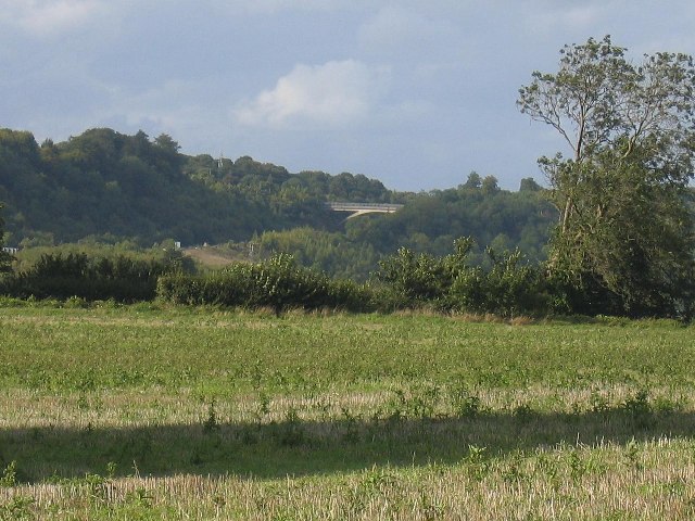
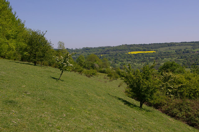
Chalkhurst Wood is a beautiful and ancient woodland located in the county of Kent, England. Covering an area of approximately 50 hectares, this wooded area is known for its diverse flora and fauna, making it a beloved destination for nature enthusiasts and walkers alike.

The wood is primarily composed of beech and oak trees, which create a stunning and vibrant canopy during the spring and summer months. In addition to these dominant species, visitors can also find a variety of other tree species such as birch, hazel, and holly, each adding to the rich biodiversity of the area.

As visitors explore Chalkhurst Wood, they will also come across a wide range of wildlife. The wood is home to an array of bird species, including woodpeckers, owls, and warblers, which can be heard singing their melodious tunes throughout the day. Small mammals like foxes, badgers, and deer also inhabit the wood, adding to the enchanting atmosphere.

For those interested in history, Chalkhurst Wood offers glimpses into the past. Ancient earthworks and remnants of old dwellings can be found scattered throughout the woodland, providing evidence of human habitation dating back hundreds of years.

To enhance the experience for visitors, several walking trails have been established within Chalkhurst Wood, allowing them to explore the area at their own pace. These paths wind through the trees, offering peaceful and serene surroundings for those seeking some tranquility in nature.

Overall, Chalkhurst Wood is a picturesque and captivating woodland, offering a glimpse into Kent's natural beauty and rich history. With its diverse wildlife, ancient trees, and peaceful atmosphere, it is a place that truly captures the essence of the English countryside.

If you have any feedback on the listing, please let us know in the comments section below.

Chalkhurst Wood Images

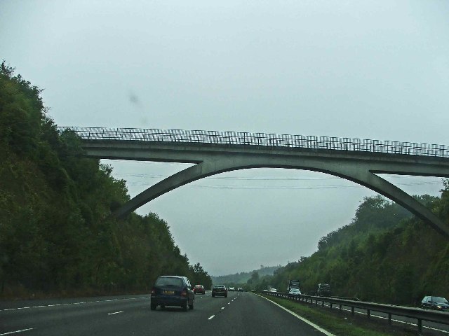
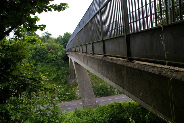
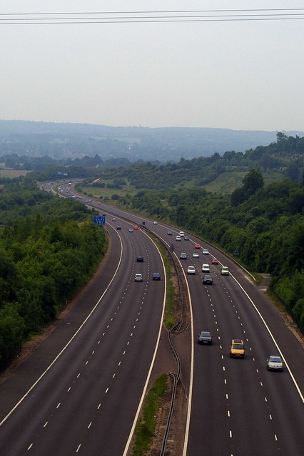
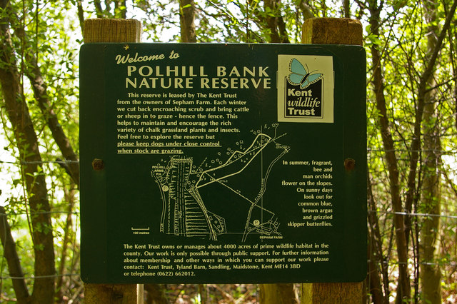
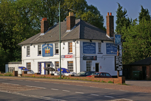
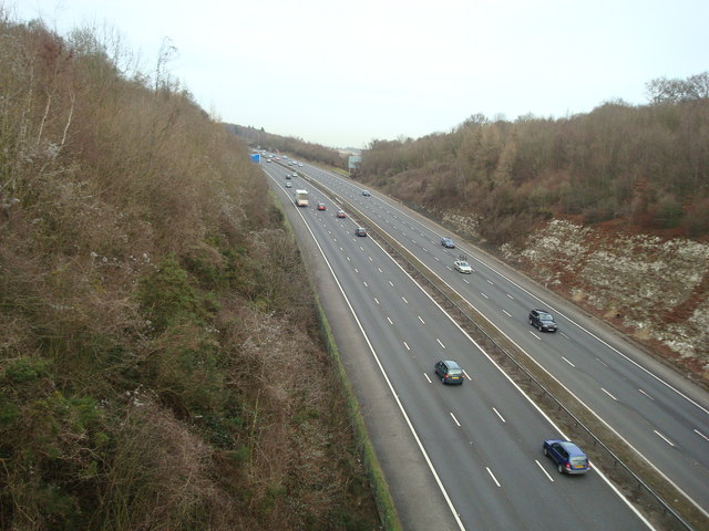
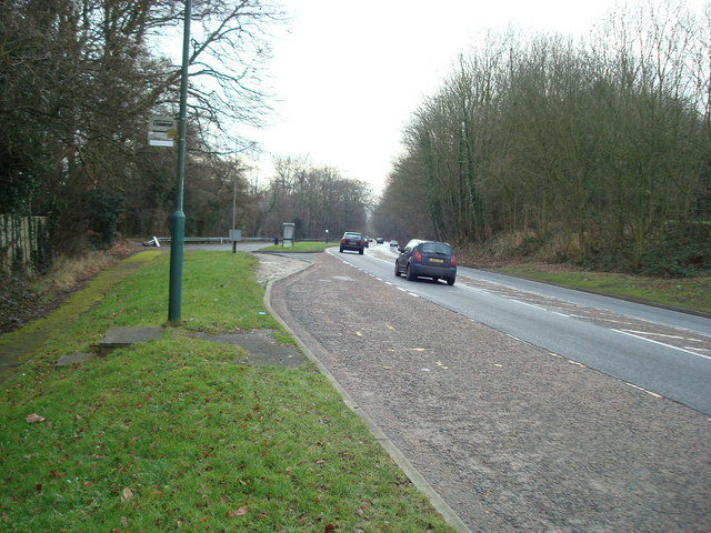
Images are sourced within 2km of 51.329651/0.14136741 or Grid Reference TQ4961. Thanks to Geograph Open Source API. All images are credited.

M25 Clockwise Situated just behind the Polhill Arms on the A224 this spectacular bridge - a landmark for thousands of travellers each day - carries a small track over the M25 where the motorway itself crosses over the London to Sevenoaks railway
M25 Clockwise
Situated just behind the Polhill Arms on the A224 this spectacular bridge - a landmark for thousands of travellers each day - carries a small track over the M25 where the motorway itself crosses over the London to Sevenoaks railway
Shoreham Woods, near M25 junction 4 Shoreham Woods (467 acres) lie to the western side of the Darent Valley. They comprise five different woodlands, linked together by rolling downland grazed by sheep. This is a view looking south, with Meenfield Wood to the left, Andrew's Wood to the right. The area is managed by Sevenoaks District Council.
Shoreham Woods, near M25 junction 4
Shoreham Woods (467 acres) lie to the western side of the Darent Valley. They comprise five different woodlands, linked together by rolling downland grazed by sheep. This is a view looking south, with Meenfield Wood to the left, Andrew's Wood to the right. The area is managed by Sevenoaks District Council.
M25 hidden by trees
M25 hidden by trees
Bridge Over The   M25 This sweeping span carries a bridle path across the M25 near Halstead and Shoreham Kent
Bridge Over The M25
This sweeping span carries a bridle path across the M25 near Halstead and Shoreham Kent
The 'Polhill Arms', near Halstead, Kent The Polhill Arms stands on the A224 (former A21) where it runs very close to the M25 motorway, which bisects this grid square from north to south.  But from the pub, a path run via a footbridge over the motorway, into the lovely Pilots Wood, especially worth a visit at bluebell time.
The 'Polhill Arms', near Halstead, Kent
The Polhill Arms stands on the A224 (former A21) where it runs very close to the M25 motorway, which bisects this grid square from north to south. But from the pub, a path run via a footbridge over the motorway, into the lovely Pilots Wood, especially worth a visit at bluebell time.
Bridle Path Span This bridge carries a bridle path over the M25 it is the only bridge in this area of the Motorway with the supporting arch type of construction. You can see a view of it from the road at <a href="https://www.geograph.org.uk/photo/10406">TQ5060 : M25 Clockwise</a>.
Bridle Path Span
This bridge carries a bridle path over the M25 it is the only bridge in this area of the Motorway with the supporting arch type of construction. You can see a view of it from the road at TQ5060 : M25 Clockwise.
View From The Bridle Path Bridge This is the M25 looking southbound viewed from the bridle path bridge that can be seen in  <a href="https://www.geograph.org.uk/photo/10406">TQ5060 : M25 Clockwise</a>.
View From The Bridle Path Bridge
This is the M25 looking southbound viewed from the bridle path bridge that can be seen in TQ5060 : M25 Clockwise.
M25 Northbound Oh the joys of Classic Car motoring! The MG came to an unscheduled stop a few moments before, northbound on the M25. The shot was taken from

 <a href="https://www.geograph.org.uk/photo/191465">TQ5060 : Bridle Path Span</a>
M25 Northbound
Oh the joys of Classic Car motoring! The MG came to an unscheduled stop a few moments before, northbound on the M25. The shot was taken from TQ5060 : Bridle Path Span
Badgers Sub Rd The road to the left is Shacklands Road, the byway through Barnetts Wood is Badgers sub road.
Badgers Sub Rd
The road to the left is Shacklands Road, the byway through Barnetts Wood is Badgers sub road.
The M25 near Shoreham, Kent Christmas is over, business as usual.
The M25 near Shoreham, Kent
Christmas is over, business as usual.
Shoreham woods, looking across to Meenfield Wood
Owl carving on a post in Shoreham Woods
Polhill Bank Nature Reserve Chalk downland managed by the Kent Wildlife Trust (see <a href="https://www.geograph.org.uk/photo/796306">TQ5060 : Polhill Bank Nature Reserve sign</a> for picture of sign)
Polhill Bank Nature Reserve
Chalk downland managed by the Kent Wildlife Trust (see TQ5060 : Polhill Bank Nature Reserve sign for picture of sign)
Polhill Bank Nature Reserve sign Sign at entrance to reserve (see <a href="https://www.geograph.org.uk/photo/796305">TQ5060 : Polhill Bank Nature Reserve</a>).
Polhill Bank Nature Reserve sign
Sign at entrance to reserve (see TQ5060 : Polhill Bank Nature Reserve).
Polhill Arms Compare with <a href="https://www.geograph.org.uk/photo/163651">TQ5060 : The 'Polhill Arms', near Halstead, Kent</a> - it now has a hanging sign, missing from the earlier photo.
Polhill Arms
Compare with TQ5060 : The 'Polhill Arms', near Halstead, Kent - it now has a hanging sign, missing from the earlier photo.
M25, view from Bridlepath, near Halstead, Kent
M25, view from bridlepath near Halstead Kent
Polhill, near Halstead, Kent
Show me another place!

Chalkhurst Wood is located at Grid Ref: TQ4961 (Lat: 51.329651, Lng: 0.14136741)

Administrative County: Kent

District: Sevenoaks

Police Authority: Kent

What 3 Words

///caller.tests.solar. Near Otford, Kent

Related Wikis

Halstead, Kent

Halstead is a village and civil parish in the Sevenoaks District of Kent, England. It is located 4.7 miles south east of Orpington & 6.1 miles north west...

Badgers Mount

Badgers Mount is a village and civil parish in the Sevenoaks District of Kent, England It is located 3.6 miles south east of Orpington and 5.6 miles north...

St Margaret's Church, Halstead

St Margaret's Church is an Anglican parish church in the village of Halstead and the Sevenoaks deanery, although the church also serves the village of...

Polhill Bank

Polhill Bank is a 4-hectare (9.9-acre) nature reserve south of Shoreham, which is north of Sevenoaks in Kent. It is managed by Kent Wildlife Trust. It...

Nearby Amenities

Located within 500m of 51.329651,0.14136741
Bus Stop
The Cock
Local Ref: adj
Naptan AtcoCode: 2400A034700A
Naptan Bearing: SW
Naptan BusStopType: MKD
Naptan CommonName: The Cock
Naptan Indicator: adj
Naptan Landmark: The Cock
Naptan NaptanCode: kntdmdtp
Naptan RevisionNumber: 3
Naptan Status: act
Naptan Street: Knockholt Road
Naptan Verified: no
Public Transport: platform
Source: naptan_import
Source Date: 2018-09-14
Lat/Long: 51.330147/0.1352006
Pub
The Cock
Addr Postcode: TN14 7DD
Addr Street: Shoreham Lane
Fhrs Id: 1022630
Source Addr: FHRS Open Data
Toilets: yes
Toilets Access: customers
Lat/Long: 51.3307042/0.1359497
Pub
Rose and Crown
Addr Postcode: TN14 7EA
Addr Street: Otford Lane
Fhrs Id: 831068
Source Addr: FHRS Open Data
Toilets: yes
Toilets Access: customers
Lat/Long: 51.3293434/0.1361749
Post Box
Collection Times: Mo-Fr 16:15; Sa 09:30; Su off
Colour: red
Mapillary: 7944066299000821
Post Box Mounting: building
Post Box Type: wall
Ref: TN15 94
Royal Cypher: GR
Royal Cypher Wikidata: Q33102273
Lat/Long: 51.3299627/0.1347705
Cafe
Cabbages and Kings
Lat/Long: 51.3299421/0.1346909
Bus Stop
Clarks Lane
Flag: no
Local Ref: NW-bound
Naptan AtcoCode: 2400107787
Naptan Bearing: NW
Naptan BusStopType: CUS
Naptan CommonName: Clarks Lane
Naptan Indicator: NW-bound
Naptan Landmark: Station Road
Naptan NaptanCode: kntjwmad
Naptan RevisionNumber: 3
Naptan Status: act
Naptan Street: Clarks Lane
Naptan Verified: no
Physically Present: no
Public Transport: platform
Ref: kntjwmad
Source: naptan_import
Source Date: 2018-09-14
Lat/Long: 51.3320869/0.1361262
Power: pole
Lat/Long: 51.3283273/0.1462233
Power: pole
Lat/Long: 51.3294502/0.1449734
Power: pole
Lat/Long: 51.3303284/0.1439837
Power: pole
Lat/Long: 51.3312133/0.1429912
Power: pole
Lat/Long: 51.3320981/0.1420149
Power: pole
Lat/Long: 51.3333919/0.1416099
Power: pole
Lat/Long: 51.3282854/0.1461053
Power: pole
Lat/Long: 51.3294552/0.1447937
Power: pole
Lat/Long: 51.3302681/0.1438764
Power: pole
Lat/Long: 51.3312418/0.142774
Power: pole
Lat/Long: 51.3320898/0.1418567
Power: pole
Lat/Long: 51.3333668/0.141457
Bus Stop
Shoreham Lane
Flag: no
Local Ref: NE-bound
Naptan AtcoCode: 2400107785
Naptan Bearing: NE
Naptan BusStopType: CUS
Naptan CommonName: Shoreham Lane
Naptan Indicator: NE-bound
Naptan Landmark: Clarks Lane
Naptan NaptanCode: kntjwjwt
Naptan RevisionNumber: 3
Naptan Status: act
Naptan Street: Shoreham Lane
Naptan Verified: no
Physically Present: no
Public Transport: platform
Ref: kntjwjwt
Source: naptan_import
Source Date: 2018-09-14
Lat/Long: 51.3311007/0.1374233
Roundabout
Fixme: Can somebody confirm is there is a bus stop here? If yes, can they set naptan:verified to yes and add the bus stop tags (highway=bus_stop and public_tranport=platform)
Naptan AtcoCode: 2400A07478
Naptan Bearing: NE
Naptan CommonName: Roundabout
Naptan Indicator: NE-bound
Naptan Landmark: Roundabout
Naptan NaptanCode: kntjtaja
Naptan Street: Shoreham Lane
Naptan Verified: no
Ref: kntjtaja
Source: NAPTAN
Source Date: 2020-06-30T12:07:23
Lat/Long: 51.3322115/0.1470137
Bus Stop
The Cock
Flag: no
Local Ref: opp
Naptan AtcoCode: 2400A008660A
Naptan Bearing: NE
Naptan BusStopType: CUS
Naptan CommonName: The Cock
Naptan Indicator: opp
Naptan Landmark: Otford Lane
Naptan NaptanCode: kntajtwm
Naptan RevisionNumber: 7
Naptan Status: act
Naptan Street: Knockholt Road
Naptan Verified: no
Public Transport: platform
Ref: kntajtwm
Source: naptan_import
Source Date: 2018-09-14
Lat/Long: 51.3303763/0.1352429
Bus Stop
Clarks Lane
Flag: no
Local Ref: adj
Naptan AtcoCode: 2400103777
Naptan Bearing: S
Naptan BusStopType: CUS
Naptan CommonName: Clarks Lane
Naptan Indicator: adj
Naptan Landmark: Clarks Lane
Naptan NaptanCode: kntjmjag
Naptan RevisionNumber: 1
Naptan Status: act
Naptan Street: Station Road
Naptan Verified: no
Public Transport: platform
Ref: kntjmjag
Source: naptan_import
Source Date: 2018-09-14
Lat/Long: 51.3319774/0.1357192
Post Box
Collection Times: Mo-Fr 09:00; Sa 07:00; Su off
Colour: red
Ref: TN14 63
Royal Cypher: EIIR
Royal Cypher Wikidata: Q33102113
Lat/Long: 51.3322015/0.1472509
The data included in this document is from www.openstreetmap.org. The data is made available under ODbL.

Have you been to Chalkhurst Wood?

Leave your review of Chalkhurst Wood below (or comments, questions and feedback).