Pascalls Wood

Wood, Forest in Kent Sevenoaks

England

Pascalls Wood

Valley View Taken from the point where the footpath meets Shacklands Road at Timberden Bottom.
Hard to believe how close is the M25.
Valley View Credit: Trevor Harris

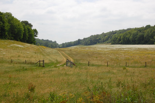
Pascalls Wood is a picturesque forest located in the county of Kent, England. Covering an area of approximately 400 acres, this woodland is renowned for its natural beauty and diverse wildlife.

Situated just a few miles outside of the bustling town of Sevenoaks, Pascalls Wood offers a tranquil escape from the urban environment. The wood is predominantly made up of broadleaf trees, such as oak, beech, and chestnut, which provide a striking display of colors during the autumn months.

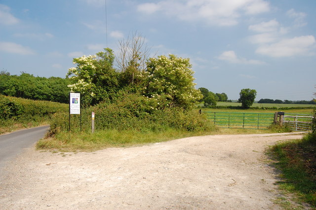
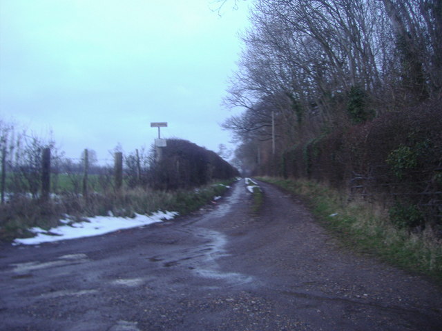
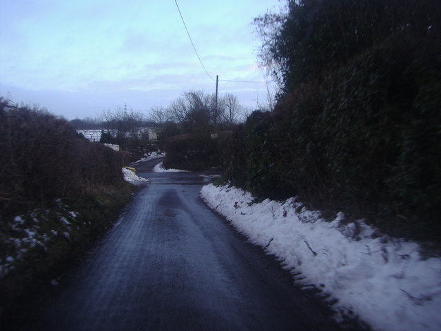
The forest is crisscrossed with a network of well-maintained footpaths, allowing visitors to explore the wood at their own pace. These trails offer a variety of walks, ranging from short strolls to longer hikes, catering to all levels of fitness and ability.

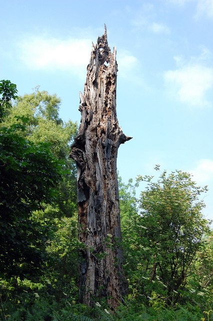
Pascalls Wood is a haven for wildlife enthusiasts, as it is home to a wide range of animals and birds. Keen-eyed visitors may spot deer, foxes, and rabbits, as well as a variety of bird species, including woodpeckers and owls. The wood is also home to a number of rare and protected species, such as the dormouse and the great crested newt.

The woodland is managed by the Forestry Commission, who ensure that it is well-preserved and accessible for visitors. They also organize educational programs and events to promote awareness and understanding of the forest ecosystem.

Whether you are seeking a peaceful stroll, a family day out, or a chance to immerse yourself in nature, Pascalls Wood is a must-visit destination in Kent.

If you have any feedback on the listing, please let us know in the comments section below.

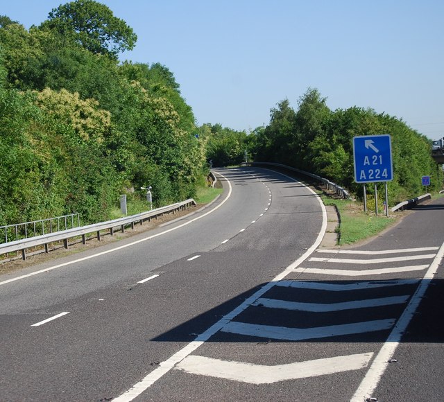
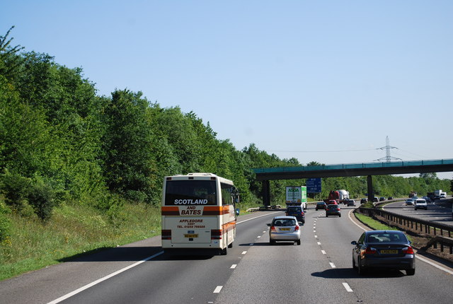
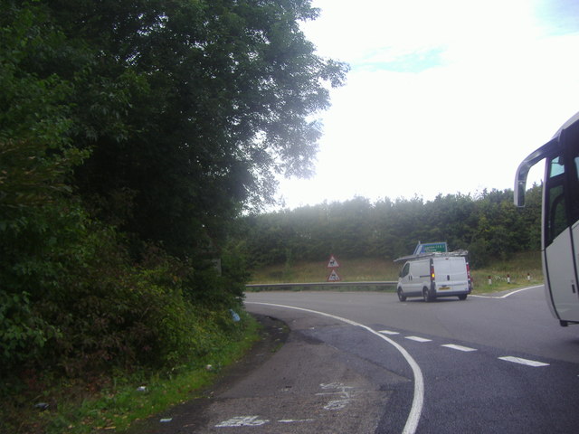
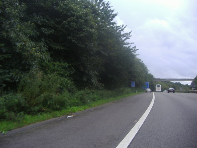
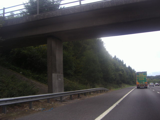
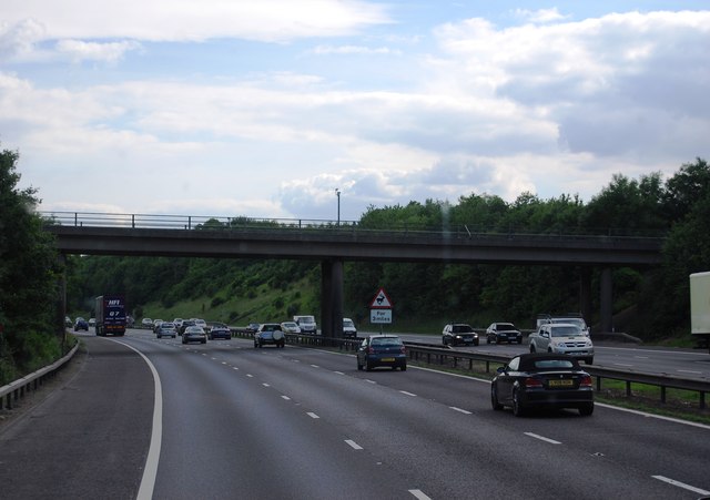
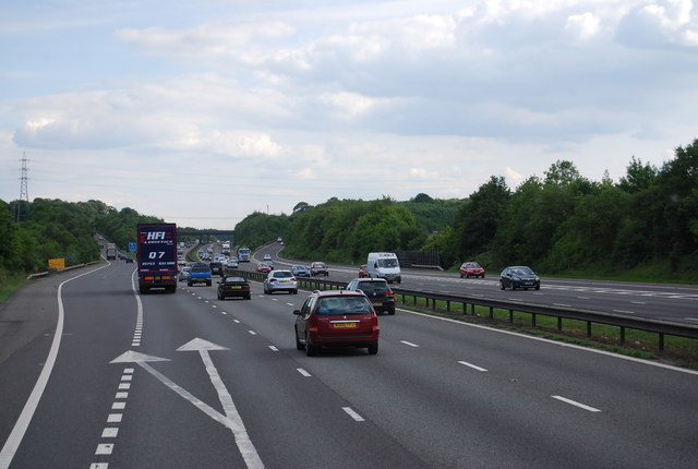
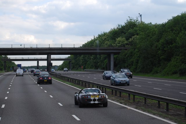
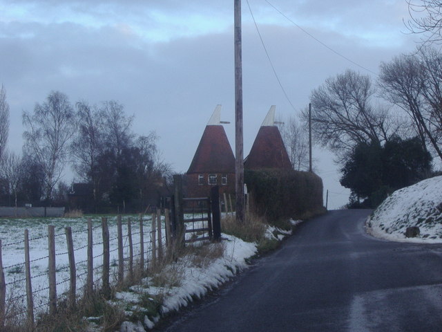
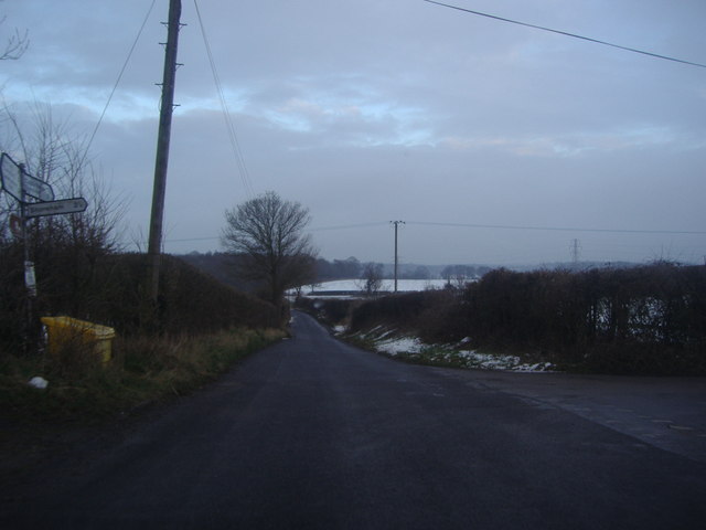
Pascalls Wood Images

Images are sourced within 2km of 51.3495/0.14427457 or Grid Reference TQ4963. Thanks to Geograph Open Source API. All images are credited.

Valley View Taken from the point where the footpath meets Shacklands Road at Timberden Bottom.
Hard to believe how close is the M25.
Valley View
Taken from the point where the footpath meets Shacklands Road at Timberden Bottom. Hard to believe how close is the M25.
Farm track meets Redmans Lane The track to the right goes to Homewood Farm. The track is also start of the footpath to Dalhanna. The sign is advertising Castle Farm which lies in the valley ahead.
Farm track meets Redmans Lane
The track to the right goes to Homewood Farm. The track is also start of the footpath to Dalhanna. The sign is advertising Castle Farm which lies in the valley ahead.
Dead Tree, Beechen Wood The footpath through Beechen Wood passes by this dead tree which has obviously been much pecked by woodpeckers!
Dead Tree, Beechen Wood
The footpath through Beechen Wood passes by this dead tree which has obviously been much pecked by woodpeckers!
The Clubhouse, Lullingstone Park Golf Course The scene outside the clubhouse.
The Clubhouse, Lullingstone Park Golf Course
The scene outside the clubhouse.
Junction 4, M25 The M25 is a 117 mile orbital motorway that encircles London. It was constructed between 1975 and 1986.
The motorway is not a continuous loop as a section to the East of London at The Dartford Crossing is an A-Road.
Wikipedia; <span class="nowrap"><a title="http://en.wikipedia.org/wiki/M25_motorway" rel="nofollow ugc noopener" href="http://en.wikipedia.org/wiki/M25_motorway">Link</a><img style="margin-left:2px;" alt="External link" title="External link - shift click to open in new window" src="https://s1.geograph.org.uk/img/external.png" width="10" height="10"/></span>
Junction 4, M25
The M25 is a 117 mile orbital motorway that encircles London. It was constructed between 1975 and 1986. The motorway is not a continuous loop as a section to the East of London at The Dartford Crossing is an A-Road. Wikipedia; LinkExternal link
M25 near Parkgate Farm The M25 is a 117 mile orbital motorway that encircles London. It was constructed between 1975 and 1986.
The motorway is not a continuous loop as a section to the East of London at The Dartford Crossing is an A-Road.
Wikipedia; <span class="nowrap"><a title="http://en.wikipedia.org/wiki/M25_motorway" rel="nofollow ugc noopener" href="http://en.wikipedia.org/wiki/M25_motorway">Link</a><img style="margin-left:2px;" alt="External link" title="External link - shift click to open in new window" src="https://s1.geograph.org.uk/img/external.png" width="10" height="10"/></span>
M25 near Parkgate Farm
The M25 is a 117 mile orbital motorway that encircles London. It was constructed between 1975 and 1986. The motorway is not a continuous loop as a section to the East of London at The Dartford Crossing is an A-Road. Wikipedia; LinkExternal link
Exit 4 roundabout on the M25 Leading to Badgers Mount on the left turnoff
Exit 4 roundabout on the M25
Leading to Badgers Mount on the left turnoff
The M25 sliproad to Badgers Mount
Footbridge over the M25, Badgers Mount
Parkgate Road Bridge, M25 The M25 is a 117 mile orbital motorway that encircles London. It was constructed between 1975 and 1986.
The motorway is not a continuous loop as a section to the East of London at The Dartford Crossing is an A-Road.
Wikipedia; <span class="nowrap"><a title="http://en.wikipedia.org/wiki/M25_motorway" rel="nofollow ugc noopener" href="http://en.wikipedia.org/wiki/M25_motorway">Link</a><img style="margin-left:2px;" alt="External link" title="External link - shift click to open in new window" src="https://s1.geograph.org.uk/img/external.png" width="10" height="10"/></span>
Parkgate Road Bridge, M25
The M25 is a 117 mile orbital motorway that encircles London. It was constructed between 1975 and 1986. The motorway is not a continuous loop as a section to the East of London at The Dartford Crossing is an A-Road. Wikipedia; LinkExternal link
Junction 4, M25 The M25 is a 117 mile orbital motorway that encircles London. It was constructed between 1975 and 1986.
The motorway is not a continuous loop as a section to the East of London at The Dartford Crossing is an A-Road.
Wikipedia; <span class="nowrap"><a title="http://en.wikipedia.org/wiki/M25_motorway" rel="nofollow ugc noopener" href="http://en.wikipedia.org/wiki/M25_motorway">Link</a><img style="margin-left:2px;" alt="External link" title="External link - shift click to open in new window" src="https://s1.geograph.org.uk/img/external.png" width="10" height="10"/></span>
Junction 4, M25
The M25 is a 117 mile orbital motorway that encircles London. It was constructed between 1975 and 1986. The motorway is not a continuous loop as a section to the East of London at The Dartford Crossing is an A-Road. Wikipedia; LinkExternal link
The M25 from Parkgate Road near Lullingstone
The entrance to Lullingstone Park golf course
Entrance to The Barons, Redmans Lane
Firmingers Road at the junction of Rock Hill
Oast house on Well Hill Road
Well Hill Road at the junction of Cockerhurst Road
Show me another place!

Pascalls Wood is located at Grid Ref: TQ4963 (Lat: 51.3495, Lng: 0.14427457)

Administrative County: Kent

District: Sevenoaks

Police Authority: Kent

What 3 Words

///bids.blog.slim. Near Orpington, London

Related Wikis

Well Hill

Well Hill is a small rural hamlet within the civil parish of Shoreham in the Sevenoaks District of Kent, England. It lies 3 miles south east of Orpington...

Knockholt railway station

Knockholt railway station is on the South Eastern Main Line, located in the London Borough of Bromley, Greater London. It is 16 miles 44 chains (26.6 km...

Badgers Mount

Badgers Mount is a village and civil parish in the Sevenoaks District of Kent, England It is located 3.6 miles south east of Orpington and 5.6 miles north...

Hewitt's Chalk Bank

Hewitt's Chalk Bank is a 4-hectare (10-acre) nature reserve north-east of Pratt's Bottom in the London Borough of Bromley. It is managed by the Kent Wildlife...

Chelsfield

Chelsfield is an area in south-east London, England, within the London Borough of Bromley and, prior to 1965, in the historic county of Kent. It lies south...

Halstead, Kent

Halstead is a village and civil parish in the Sevenoaks District of Kent, England. It is located 4.7 miles south east of Orpington & 6.1 miles north west...

St Margaret's Church, Halstead

St Margaret's Church is an Anglican parish church in the village of Halstead and the Sevenoaks deanery, although the church also serves the village of...

1934 London, Scottish & Provincial Airways Airspeed Courier crash

On 29 September 1934, an Airspeed Courier of London, Scottish & Provincial Airways Ltd crashed just north of Shoreham, Kent. The aircraft was on a scheduled...

Nearby Amenities

Located within 500m of 51.3495,0.14427457
Power: tower
Lat/Long: 51.3465978/0.1437768
Maypole / Bo Peep Public House
Naptan AtcoCode: 490008120S
Naptan Bearing: N
Naptan CommonName: Hewitts Bo-Peep
Naptan Street: HEWITTS ROAD
Naptan Verified: no
Lat/Long: 51.3518908/0.139346
Barrier: stile
Lat/Long: 51.3503795/0.1400269
Pub
Bo Peep
Lat/Long: 51.352025/0.1395634
Power: pole
Lat/Long: 51.3469522/0.1461612
Power: pole
Lat/Long: 51.3464245/0.1439887
Power: pole
Lat/Long: 51.346401/0.144222
Power: pole
Lat/Long: 51.3475889/0.1480604
Power: pole
Lat/Long: 51.3470293/0.1460996
Power: pole
Lat/Long: 51.3475017/0.1480738
Power: pole
Lat/Long: 51.3477798/0.1499111
Power: pole
Lat/Long: 51.3477095/0.1499379
Power: tower
Lat/Long: 51.347807/0.147926
Springwood - Kent Paintball Centre
Fixme: Broken: Website URL
Leisure: sports_centre
Operator: Delta Force
Phone: +44 844 4775050
Sport: shooting
Type: paintball
Website: http://www.paintballgamehttp://www.paintballgames.co.uk/kent-paintball-centreco.uk/
Lat/Long: 51.3478737/0.1418437
Bench
Lat/Long: 51.3477467/0.1478267
Man Made: survey_point
Lat/Long: 51.3472642/0.1483798
Bopeep
Place: village
Lat/Long: 51.3521774/0.1395824
Prestige Cars Kent
Addr City: Orpington
Addr Postcode: BR6 7QR
Addr Street: Hewitts Road
Check Date: 2022-11-22
Currency GBP: yes
Currency XBT: yes
Description: Specialise in the sales and service of prestige cars.
Payment Lightning: no
Payment Lightning Contactless: no
Payment Onchain: yes
Phone: +44 1689 364 177
Second Hand: only
Shop: car
Website: https://www.prestigecarskent.co.uk/
Lat/Long: 51.3500867/0.1372097
The data included in this document is from www.openstreetmap.org. The data is made available under ODbL.

Have you been to Pascalls Wood?

Leave your review of Pascalls Wood below (or comments, questions and feedback).