Black Shaw

Wood, Forest in Sussex Wealden

England

Black Shaw

Stone Mason's Yard at Lower Vert Wood Site of the old sawmill for the Vert Wood complex, one of the largest ancient woodlands in the county, and an important site for butterflies and moths.
Stone Mason's Yard at Lower Vert Wood Credit: David Saunders

The requested URL returned error: 429 Too Many Requests

If you have any feedback on the listing, please let us know in the comments section below.
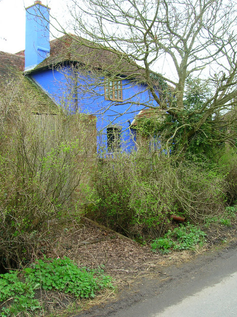
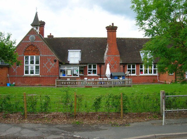
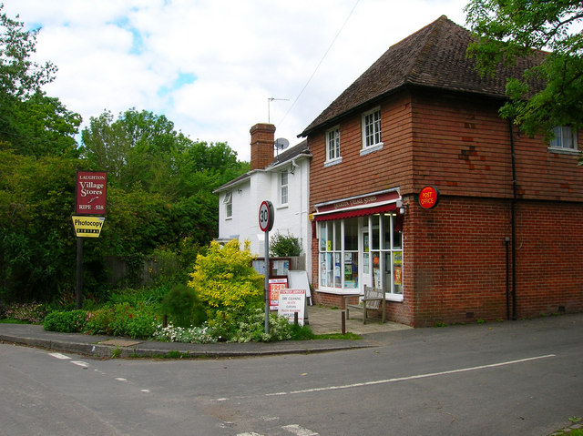
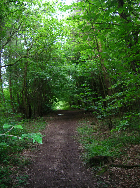
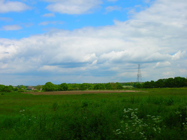
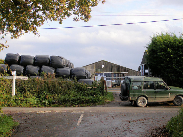
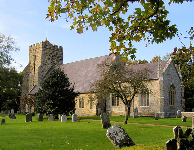
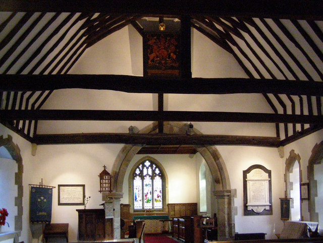
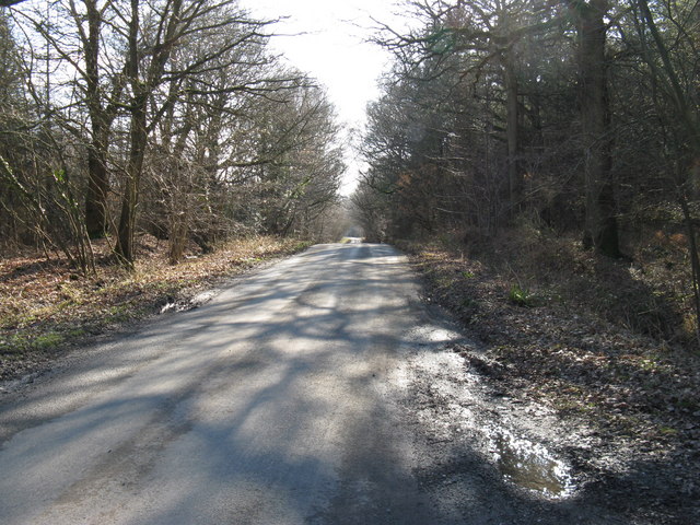
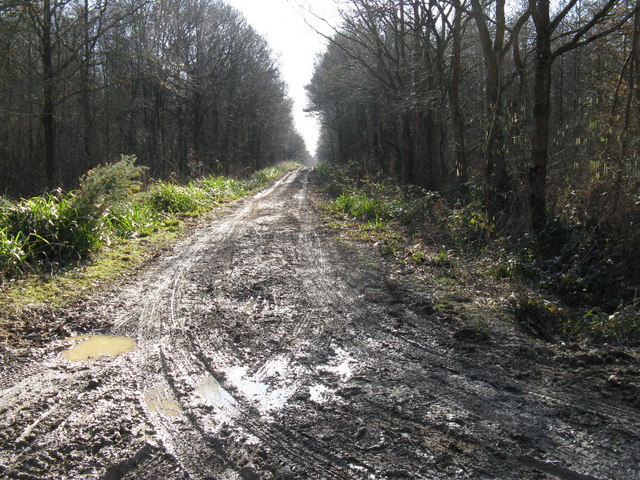
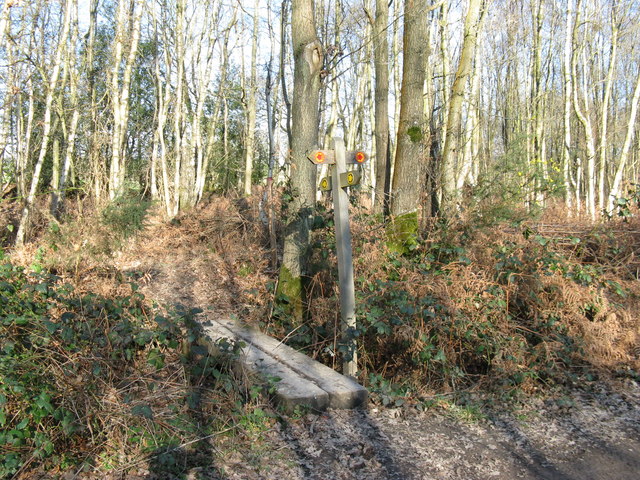
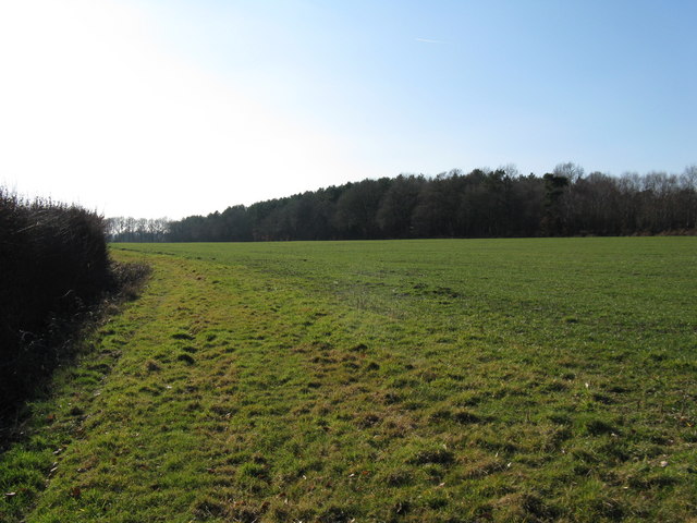
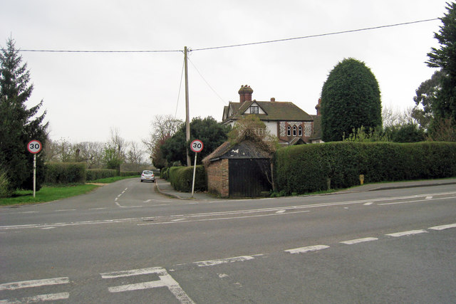
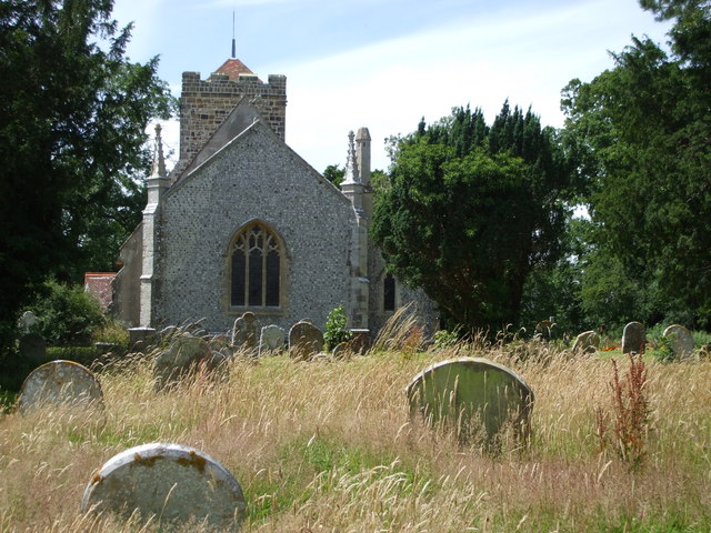
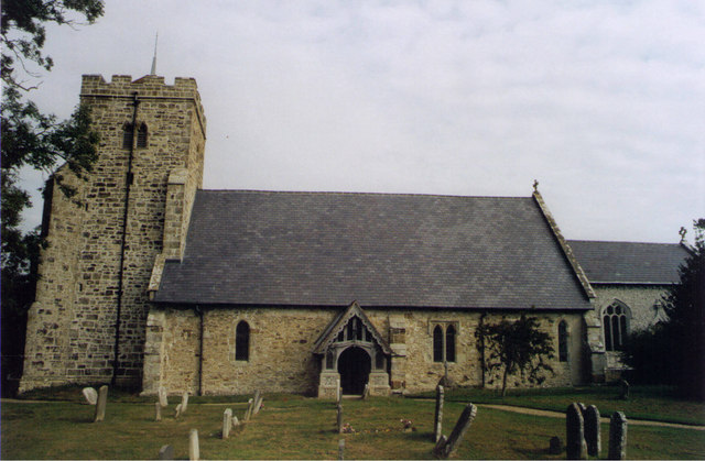
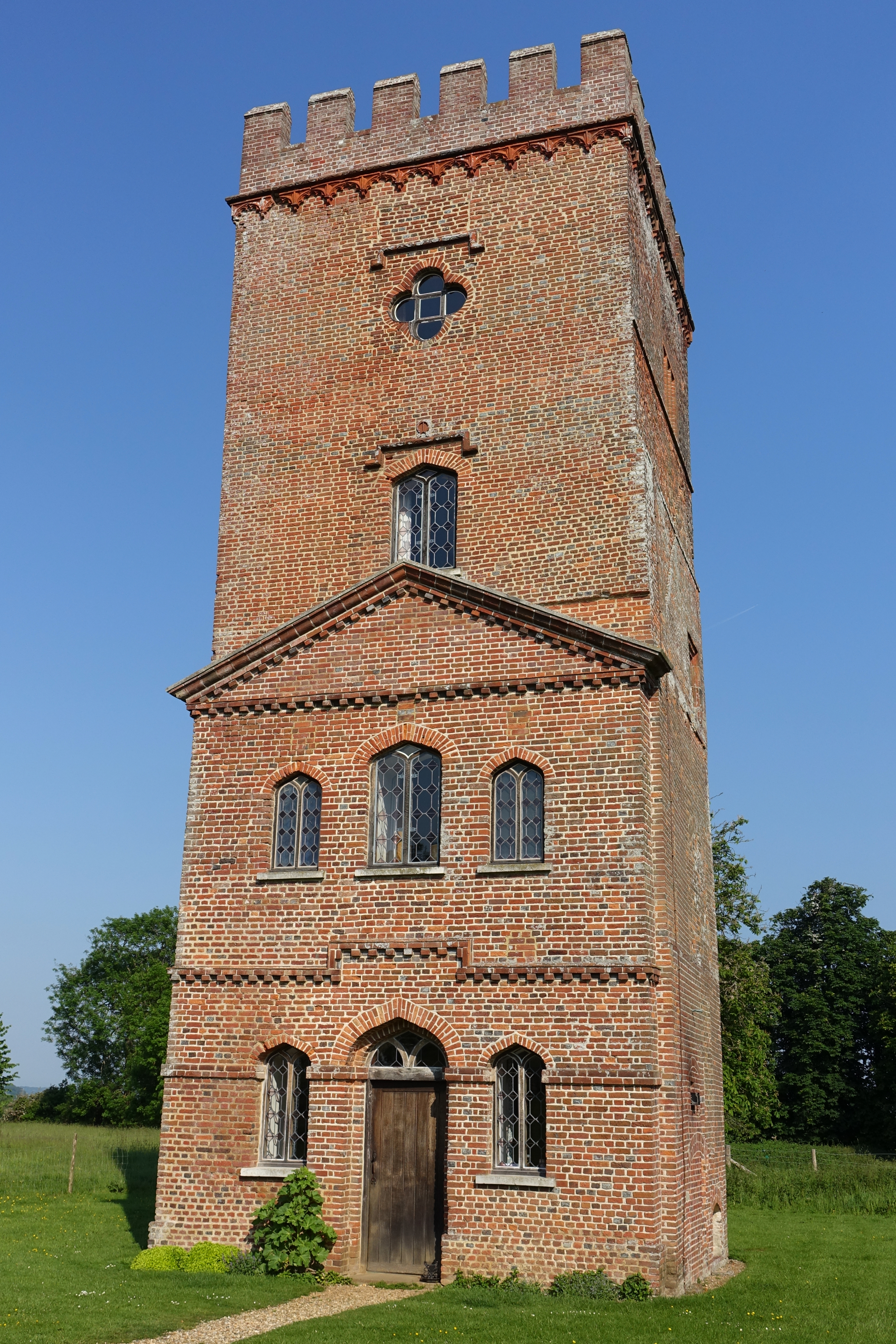
Black Shaw Images

Images are sourced within 2km of 50.893263/0.13016131 or Grid Reference TQ4912. Thanks to Geograph Open Source API. All images are credited.

Stone Mason's Yard at Lower Vert Wood Site of the old sawmill for the Vert Wood complex, one of the largest ancient woodlands in the county, and an important site for butterflies and moths.
Stone Mason's Yard at Lower Vert Wood
Site of the old sawmill for the Vert Wood complex, one of the largest ancient woodlands in the county, and an important site for butterflies and moths.
Stone Cross Farm Sussex Farmhouse at cross roads near Laughton.  Typical timber finger post marks the directions.
Stone Cross Farm
Sussex Farmhouse at cross roads near Laughton. Typical timber finger post marks the directions.
Little Stream Farm near Ripe The brightest thing I saw today. The front and left hand side are all painted in this very bright blue. Taken from Mill Lane.
Little Stream Farm near Ripe
The brightest thing I saw today. The front and left hand side are all painted in this very bright blue. Taken from Mill Lane.
Laughton Community Primary School Small Victorian village school still going strong.
Laughton Community Primary School
Small Victorian village school still going strong.
Laughton Village Stores On the junction of the B2124 Lewes Road and Pound Lane.
Laughton Village Stores
On the junction of the B2124 Lewes Road and Pound Lane.
Laughton Common Wood Taken from Pound Lane track.
Laughton Common Wood
Taken from Pound Lane track.
Communications Mast near Laughton The building is Walls Farm. Taken from the track that links Laughton Common with Whitesmith.
Communications Mast near Laughton
The building is Walls Farm. Taken from the track that links Laughton Common with Whitesmith.
Cleaver's Farm, near Ripe
All Saints Church, Laughton Laughton Church is about a mile south of the village. It was the parish church for the Pelham Family and the Pelham creast, the buckle, decorates the tower.
All Saints Church, Laughton
Laughton Church is about a mile south of the village. It was the parish church for the Pelham Family and the Pelham creast, the buckle, decorates the tower.
All Saints Church, Laughton The church has an uncluttered interior with few memorials. Note the Royal Arms for George III and the two helmets (Funeral Helms) in front of the chancel arch. The chancel is off set to the nave of the church and could indicated the angle of Christ's head on the cross.
All Saints Church, Laughton
The church has an uncluttered interior with few memorials. Note the Royal Arms for George III and the two helmets (Funeral Helms) in front of the chancel arch. The chancel is off set to the nave of the church and could indicated the angle of Christ's head on the cross.
View south down Park Lane Lower Vert Wood is on the left, Laughton Common Wood on the right.
View south down Park Lane
Lower Vert Wood is on the left, Laughton Common Wood on the right.
Two byways converge Laughton Common Wood on the left, Brickhurst Wood on the right
Two byways converge
Laughton Common Wood on the left, Brickhurst Wood on the right
Path junction in Brickhurst Wood
Wood beside footpath to Laughton Park Farm
Junction of Shortgate Road, Laughton Road & Church Lane
Laughton Parish Church The east side of the church. A wedding was just about to take place.
Laughton Parish Church
The east side of the church. A wedding was just about to take place.
All Saints, Laughton
Crossroads on the B2124 at Laughton, East Sussex
Show me another place!

Black Shaw is located at Grid Ref: TQ4912 (Lat: 50.893263, Lng: 0.13016131)

Administrative County: East Sussex

District: Wealden

Police Authority: Sussex

What 3 Words

///mountains.norms.snacks. Near Ringmer, East Sussex

Nearby Locations

Black Shaw

Related Wikis

Laughton, East Sussex

Laughton is a village and civil parish in the Wealden district of East Sussex, England. The village is located five miles (8 km) east of Lewes, at a junction...

Laughton Place

Laughton Place is a historic building near Lewes, Sussex owned by the Landmark Trust. The Pelham family bought Laughton Place, an old fortified manor,...

RAF Deanland

RAF Deanland is a former Royal Air Force advanced landing ground located 4 miles (6.4 km) west of Hailsham, East Sussex and 13.4 miles (21.6 km) north...

Broyle Place

Broyle Place is a historic house in Sussex, England. It is a Grade II listed Elizabethan manor house. In the 12th century, it belonged to Theobald, Archbishop...

Nearby Amenities

Located within 500m of 50.893263,0.13016131
Post Box
Brand: Royal Mail
Brand Wikidata: Q638098
Collection Times: Mo-Fr 16:00; Sa 10:30
Operator: Royal Mail
Operator Wikidata: Q638098
Post Box Type: lamp
Ref: BN8 545
Royal Cypher: EIIR
Royal Cypher Wikidata: Q33102113
Lat/Long: 50.8929493/0.1334886
The data included in this document is from www.openstreetmap.org. The data is made available under ODbL.

Have you been to Black Shaw?

Leave your review of Black Shaw below (or comments, questions and feedback).