Moorhall Wood

Wood, Forest in Essex Epping Forest

England

Moorhall Wood

Housham Road Looking north towards Harlow Road and thence Harlow.
Housham Road Credit: Robin Webster

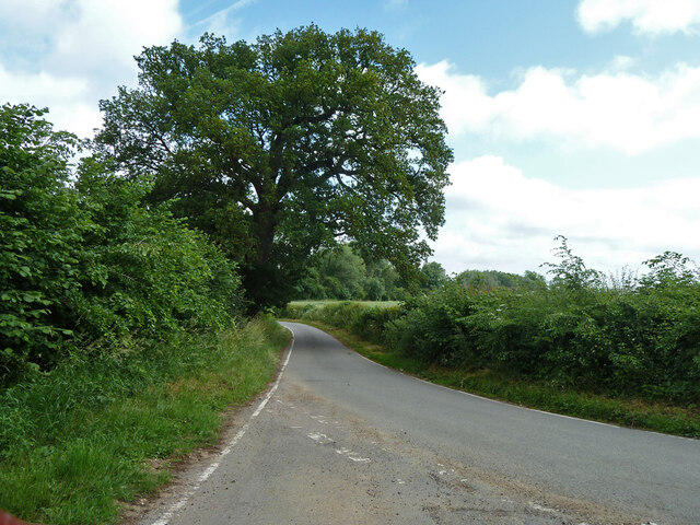
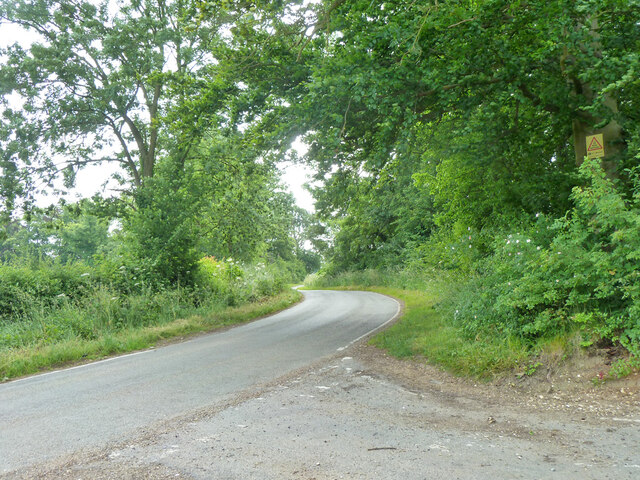
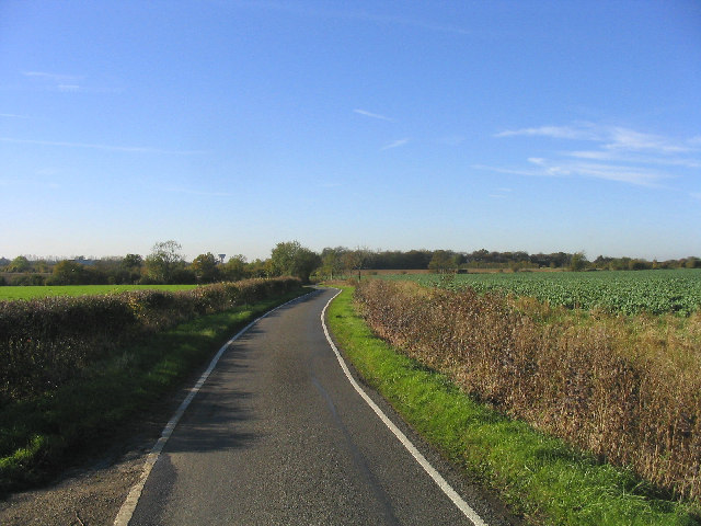
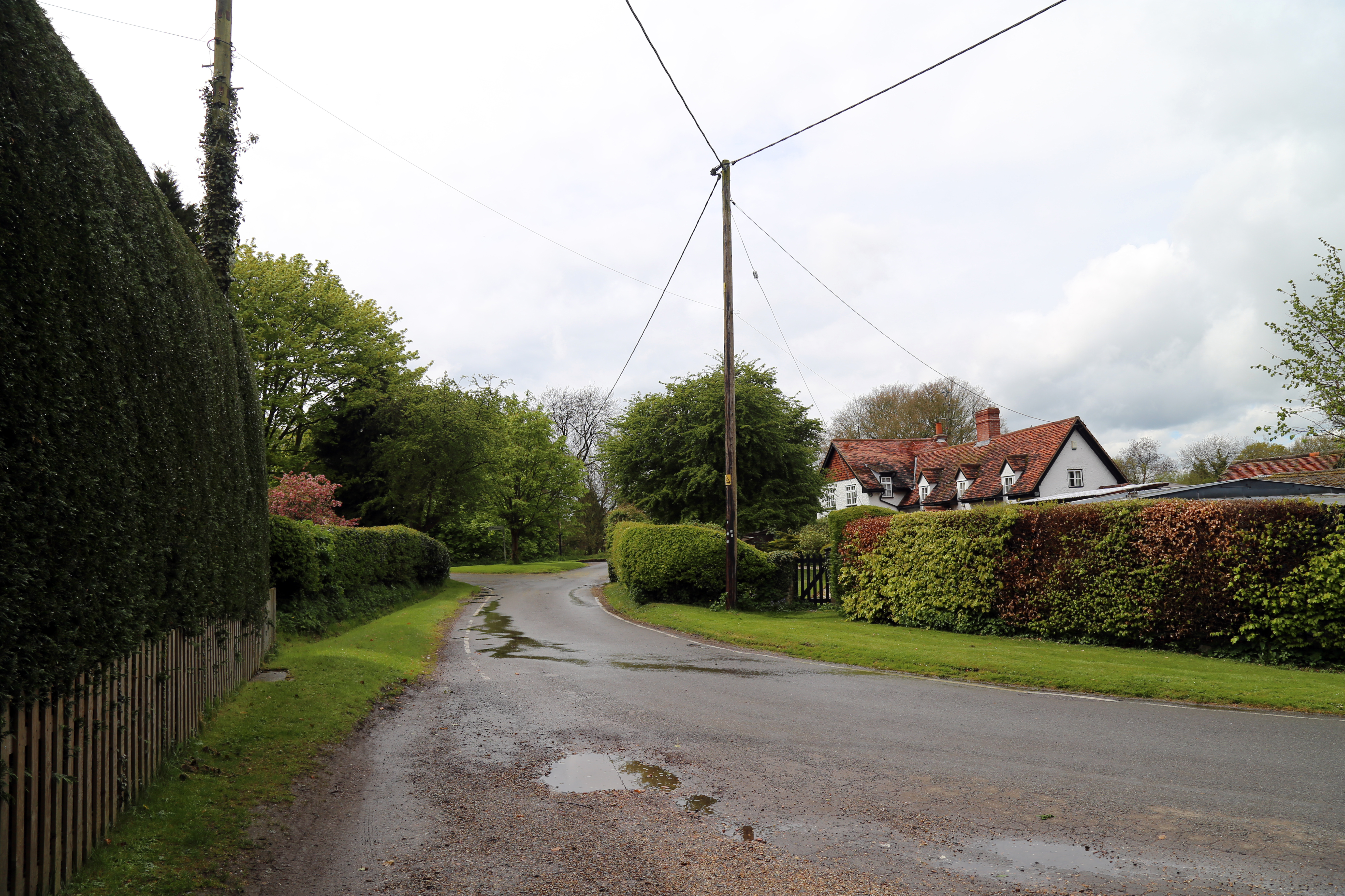
Moorhall Wood is a beautiful woodland area located in Essex, England. Covering an area of approximately 100 acres, this wood is a popular destination for nature enthusiasts and outdoor adventurers. It is situated near the town of Ongar and is easily accessible by public transportation.

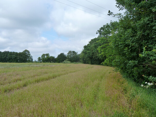
The wood is characterized by its diverse range of tree species, including oak, beech, and hornbeam. These towering trees create a dense canopy, providing a habitat for a variety of wildlife. Visitors often spot deer, rabbits, squirrels, and a wide array of bird species while exploring the wood.

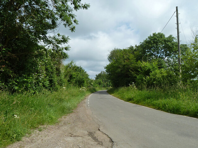
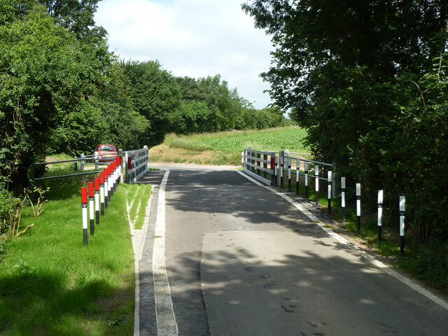
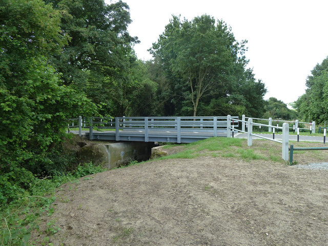
Moorhall Wood offers several walking trails, allowing visitors to fully immerse themselves in the natural beauty of the area. These trails wind through the woodland, leading to picturesque viewpoints and tranquil spots where visitors can relax and appreciate the surroundings. The wood is also intersected by a small stream, adding to its charm and providing a refreshing spot for visitors to cool off on hot summer days.

In addition to its natural beauty, Moorhall Wood has a rich history. It is believed that the wood has been present for centuries, with evidence of human activity dating back to the Iron Age. Today, remnants of old structures and archaeological sites can still be found within the wood, providing a glimpse into its past.

Overall, Moorhall Wood is a captivating destination for those seeking a peaceful retreat in nature. With its stunning scenery, abundant wildlife, and historical significance, it offers a truly memorable experience for visitors of all ages.

If you have any feedback on the listing, please let us know in the comments section below.

Moorhall Wood Images

Images are sourced within 2km of 51.784208/0.17186019 or Grid Reference TL4911. Thanks to Geograph Open Source API. All images are credited.

Housham Road Looking north towards Harlow Road and thence Harlow.
Housham Road
Looking north towards Harlow Road and thence Harlow.
Harlow Road Towards Newman's End and Sheering.
Harlow Road
Towards Newman's End and Sheering.
Footpath Matching 4 From Harlow Road.
Footpath Matching 4
From Harlow Road.
Field edge west of Harlow Road Along the hedge of the farm track used by footpath Matching 4.
Field edge west of Harlow Road
Along the hedge of the farm track used by footpath Matching 4.
Field entrance off Harlow Road
The new Sheering Bridge Officially opened on 5th June 2013, three weeks before this view. The original abutments remain, but the new span is much larger, extending to new supports behind them. This is perhaps to give long term erosion protection to the new structural elements. Pincey Brook is crossed.
The new Sheering Bridge
Officially opened on 5th June 2013, three weeks before this view. The original abutments remain, but the new span is much larger, extending to new supports behind them. This is perhaps to give long term erosion protection to the new structural elements. Pincey Brook is crossed.
Church Lane north of junction with High Lane, 2013 The large oak is now a mostly dead stump.
Church Lane north of junction with High Lane, 2013
The large oak is now a mostly dead stump.
Church Lane south of junction with High Lane
Wheeler's Farm on High Lane
Bridleway 22, Sheering Towards High Lane.
Bridleway 22, Sheering
Towards High Lane.
Wheat fields north-east of Housham Hall
Bridleway Sheering 22 / Matching 2 Somewhere about here is the parish boundary.
Bridleway Sheering 22 / Matching 2
Somewhere about here is the parish boundary.
Trees coming into leaf, late April
'Fly-tipping', High Laver, Essex Whilst this farmer was working in fields off New Way Lane, someone dumped rubbish across the entrance!
'Fly-tipping', High Laver, Essex
Whilst this farmer was working in fields off New Way Lane, someone dumped rubbish across the entrance!
New Way Lane, High Laver, Essex A view west towards Harlow
New Way Lane, High Laver, Essex
A view west towards Harlow
White's Farm, Carters Green, Essex A view northwards from Loyter's Green. The woods behind the farm are part of Matching Park.
White's Farm, Carters Green, Essex
A view northwards from Loyter's Green. The woods behind the farm are part of Matching Park.
Matching Tye, Essex The cottage in this picture is known as Gainsborough Cottage and dated as 1692. It is just one of a few interesting old buildings that make up this hamlet near Hatfield Heath.
Matching Tye, Essex
The cottage in this picture is known as Gainsborough Cottage and dated as 1692. It is just one of a few interesting old buildings that make up this hamlet near Hatfield Heath.
Show me another place!

Moorhall Wood is located at Grid Ref: TL4911 (Lat: 51.784208, Lng: 0.17186019)

Administrative County: Essex

District: Epping Forest

Police Authority: Essex

What 3 Words

///gross.headed.radio. Near Old Harlow, Essex

Nearby Locations

Moorhall Wood

Related Wikis

Housham Tye

Housham Tye is a hamlet in the civil parish of Matching, and the Epping Forest district of Essex, England. The hamlet is 1 mile (1.6 km) south-west from...

Saint Nicholas School, Essex

Saint Nicholas School is a co-educational independent day school in Old Harlow, Essex for children aged 2 1/2 to 16 years old. The current Headmaster is...

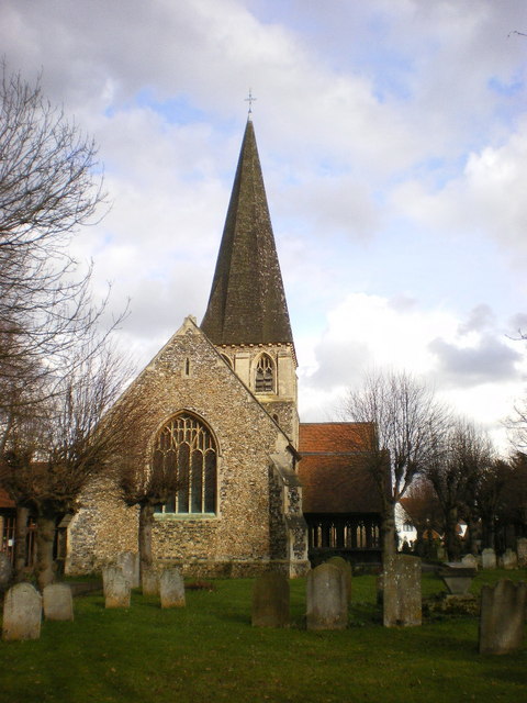
St Mary & St Hugh, Old Harlow

St Mary & St Hugh's Church is a Church of England parish church in Churchgate Street, Old Harlow in Essex, England. The church is of medieval origin and...
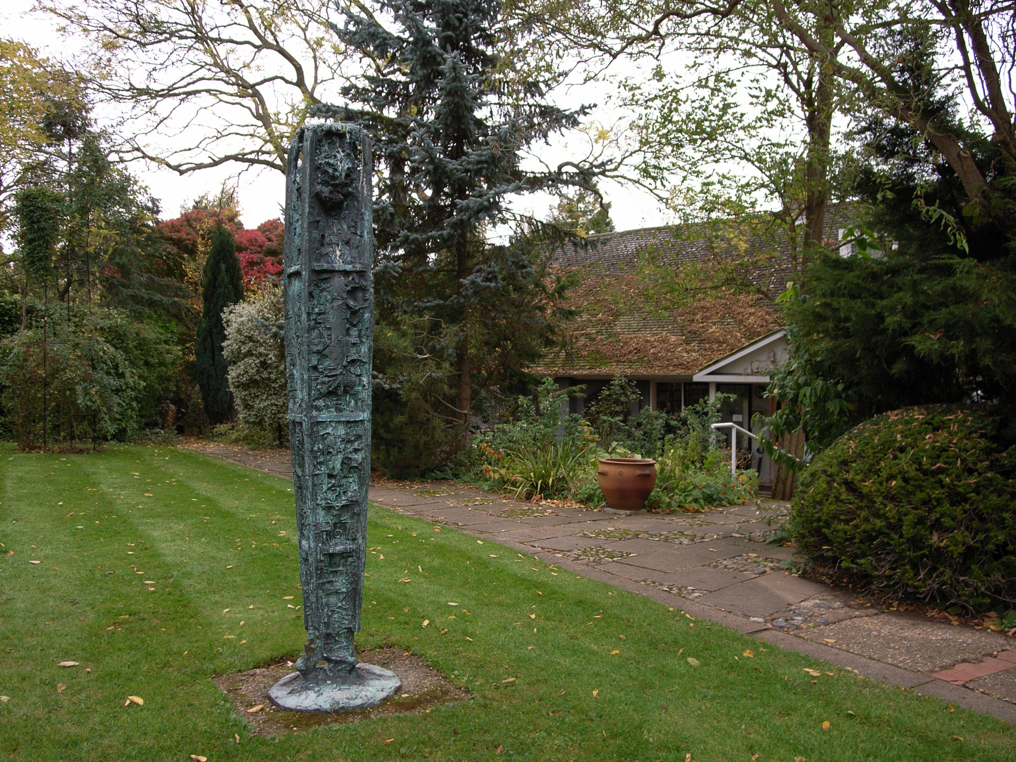
Gibberd Garden

Gibberd Garden is a garden in Harlow, Essex, England, which was created by Sir Frederick Gibberd (the planner of Harlow New Town) and his wife Patricia...

Nearby Amenities

Located within 500m of 51.784208,0.17186019
Created By: YahooApplet 1.0
Lat/Long: 51.7811446/0.1671845
Created By: YahooApplet 1.0
Lat/Long: 51.788427/0.1706913
Created By: YahooApplet 1.0
Lat/Long: 51.7822821/0.1684361
Created By: YahooApplet 1.0
Lat/Long: 51.7815918/0.1682645
Power: pole
Lat/Long: 51.7811666/0.1756095
Power: pole
Lat/Long: 51.7809774/0.1687135
Power: pole
Lat/Long: 51.780083/0.1696201
Power: pole
Lat/Long: 51.780459/0.1719393
Power: pole
Lat/Long: 51.7802267/0.1734387
Motorway Junction
Note: open 2022-06-10
Ref: 7a
Lat/Long: 51.7837945/0.1684021
Crossing
Lat/Long: 51.7841945/0.1777984
The data included in this document is from www.openstreetmap.org. The data is made available under ODbL.

Have you been to Moorhall Wood?

Leave your review of Moorhall Wood below (or comments, questions and feedback).