Square Wood
Wood, Forest in Sussex Wealden
England
Square Wood
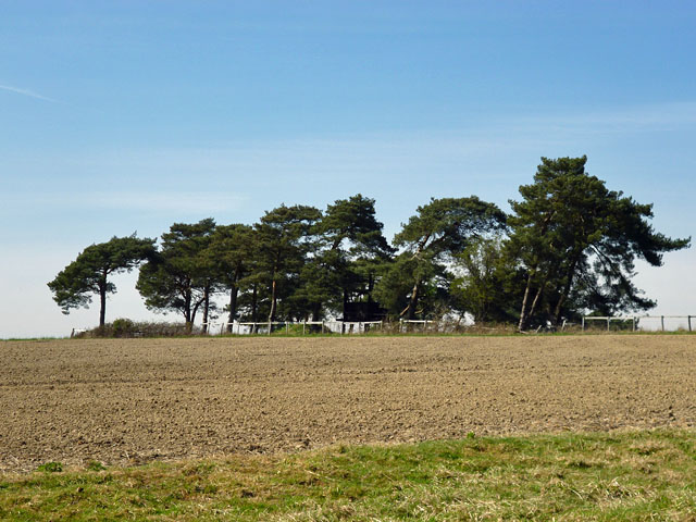
Square Wood is a picturesque forest located in the county of Sussex, England. Spread across an area of approximately 100 acres, it is a haven for nature enthusiasts and outdoor enthusiasts alike. The wood is characterized by its dense population of towering oak trees, which provide a serene and tranquil ambiance.
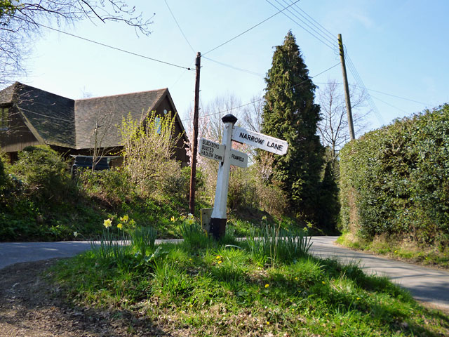
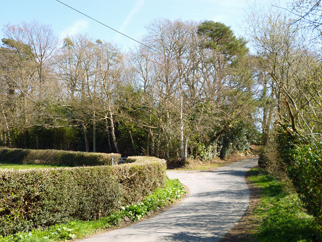
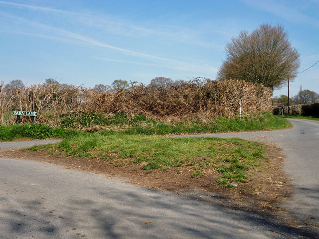
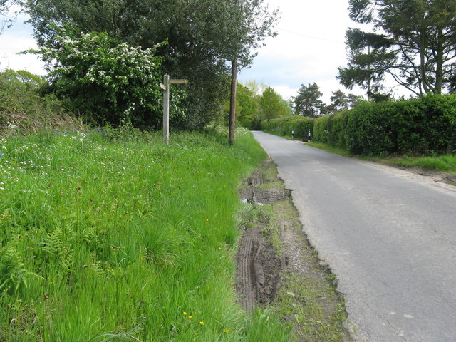
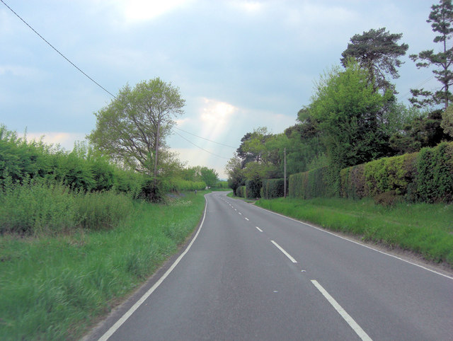
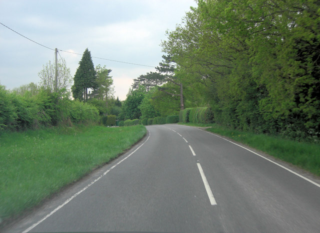
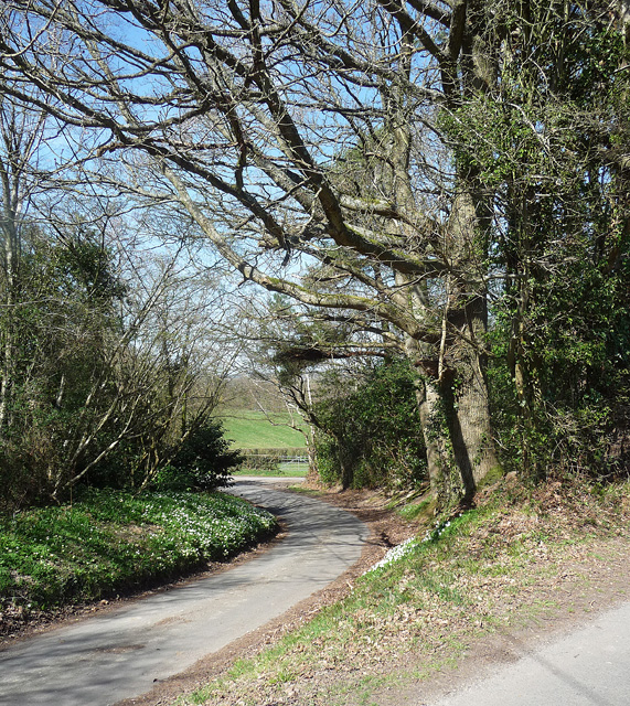
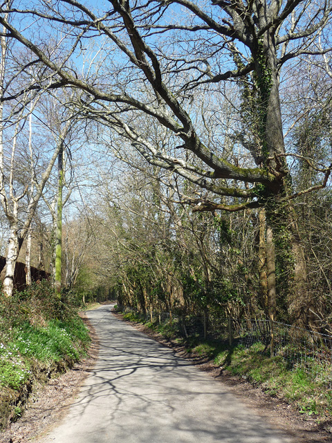
The forest is crisscrossed by a network of well-maintained footpaths, making it easily accessible for visitors to explore and enjoy its natural beauty. These paths wind their way through the woods, leading visitors to hidden clearings, babbling brooks, and vibrant wildflower meadows. The diverse range of flora and fauna found in Square Wood is a testament to its ecological importance.
The wood is home to a variety of wildlife, including deer, foxes, badgers, and a plethora of bird species. Birdwatchers are often delighted by the sight of buzzards, woodpeckers, and owls. It is not uncommon to stumble upon squirrels scampering up and down the trees, adding to the enchanting atmosphere of the forest.
Square Wood is also known for its historical significance. It has been a protected area for centuries, with remnants of ancient settlements and structures still visible today. Archaeological finds suggest that the wood was inhabited as far back as the Iron Age, and evidence of Roman occupation has also been discovered.
For those seeking a peaceful retreat from the hustle and bustle of everyday life, Square Wood offers a sanctuary of natural beauty, wildlife, and a glimpse into the history of Sussex. Whether it's a leisurely stroll, birdwatching, or simply immersing oneself in the serenity of nature, Square Wood provides an idyllic setting for all.
If you have any feedback on the listing, please let us know in the comments section below.
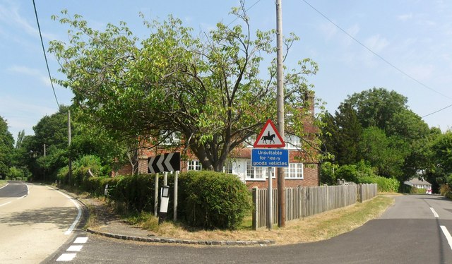
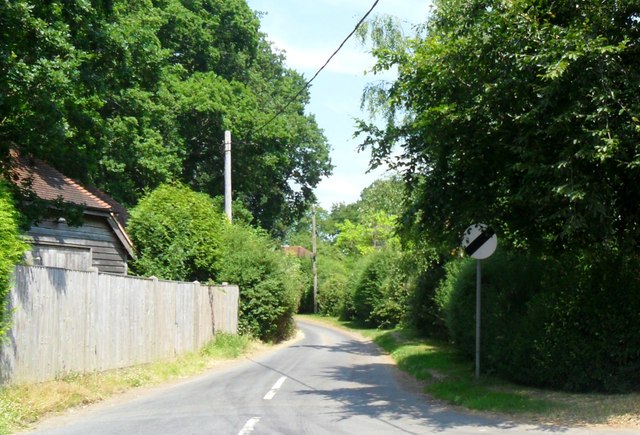
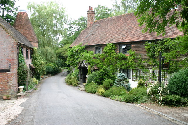
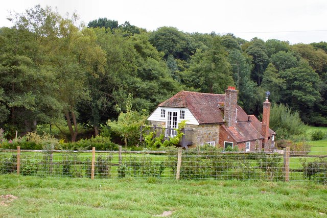
Square Wood Images
Images are sourced within 2km of 50.958602/0.13310556 or Grid Reference TQ4919. Thanks to Geograph Open Source API. All images are credited.


Square Wood is located at Grid Ref: TQ4919 (Lat: 50.958602, Lng: 0.13310556)
Administrative County: East Sussex
District: Wealden
Police Authority: Sussex
What 3 Words
///witty.tadpoles.shrugging. Near Uckfield, East Sussex
Nearby Locations
Related Wikis

Framfield
Framfield is a village and civil parish in the Wealden District of East Sussex, England. The village is located two miles (3 km) east of Uckfield; the...

Uckfield
Uckfield () is a town in the Wealden District of East Sussex in South East England. The town is on the River Uck, one of the tributaries of the River Ouse...

Hempstead Meadow
Hempstead Meadow is a 1.6-hectare (4.0-acre) Local Nature Reserve in Uckfield in East Sussex. It is owned and managed by Uckfield Town Council.The site...

Uckfield College
Uckfield College (formerly Uckfield Community Technology College) is a community college situated in Uckfield, UK. It has approximately 1,720 students...

Uckfield railway station
Uckfield railway station is the southern terminus of a branch of the Oxted Line in England, serving the town of Uckfield, East Sussex. It is 46 miles 8...
Uckfield Town F.C.
Uckfield Town F.C. was a football club based in Uckfield, East Sussex, England. For their final season, 2013–14, they were members of the Sussex County...
Etchingwood
Etchingwood is a small cluster of mostly detached properties and farms within the civil parish of Buxted in the Wealden district of East Sussex, England...
Vanguard Way
The Vanguard Way is a long-distance walk of 66.2 mi (106.5 km) from East Croydon station in outer London (OS grid reference TQ328658), travelling from...
Nearby Amenities
Located within 500m of 50.958602,0.13310556Have you been to Square Wood?
Leave your review of Square Wood below (or comments, questions and feedback).