Bury Wood

Wood, Forest in Sussex Wealden

England

Bury Wood

Stile next to Crossroads, Palehouse Common Much negotiation required to avoid wet feet if trying to escape this field. The point where the footpath from Honey's Green meets a crossroads of minor lanes. The buildings behind belong to Palehouse Common Farm.
Stile next to Crossroads, Palehouse Common Credit: Simon Carey

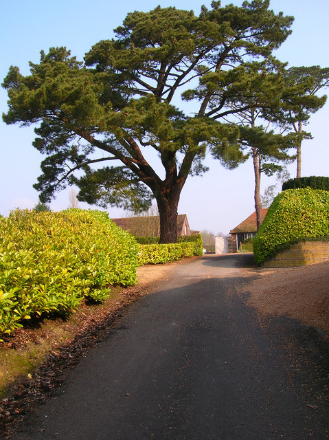
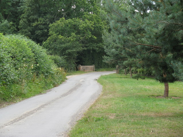
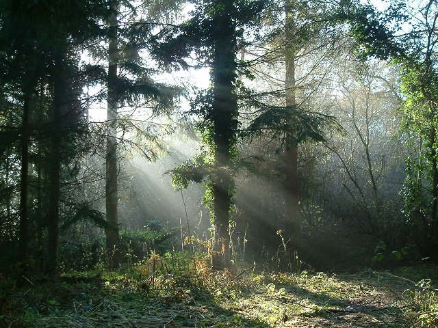
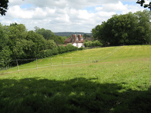
Bury Wood, located in Sussex, England, is a serene and picturesque woodland renowned for its natural beauty and rich biodiversity. Spanning an area of approximately 500 acres, this ancient forest boasts a diverse range of plant and animal species, making it a haven for nature enthusiasts and wildlife lovers alike.

The wood is predominantly composed of broadleaf trees, including oak, beech, and birch, which create a dense canopy and provide shelter for an array of woodland creatures. The forest floor is adorned with a tapestry of wildflowers and ferns, adding to its enchanting atmosphere.

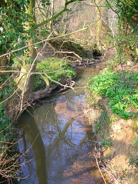
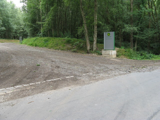
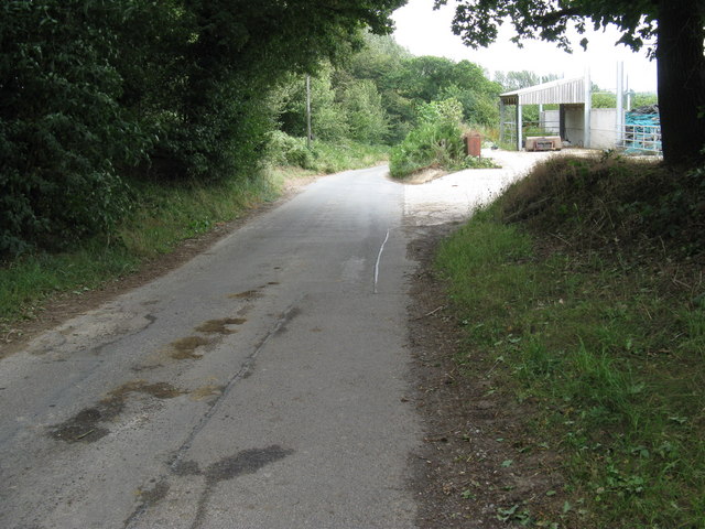
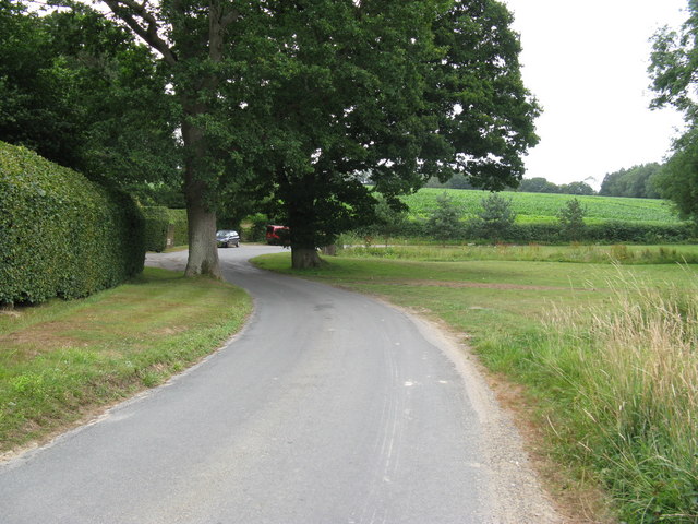
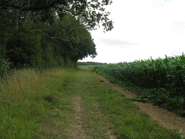
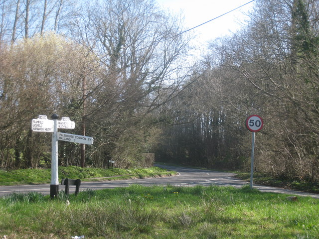
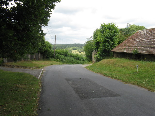
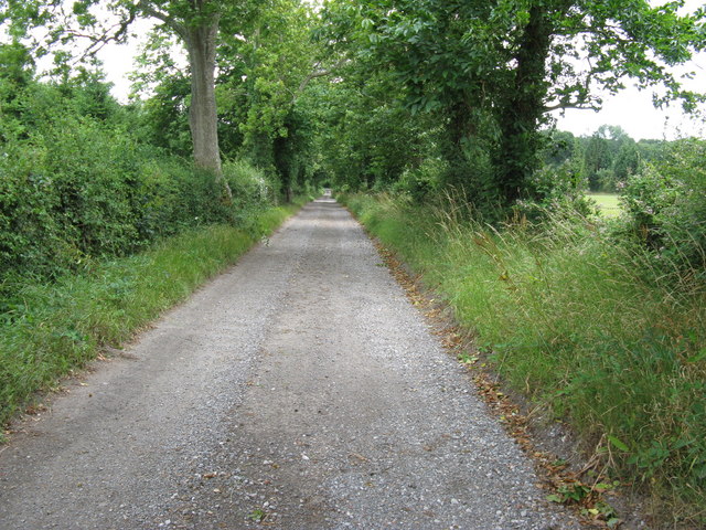
Bury Wood is traversed by a network of well-maintained footpaths that allow visitors to explore its hidden treasures. These trails wind through the forest, offering glimpses of babbling brooks, small ponds, and meandering streams that provide habitats for various aquatic species.

Birdwatchers will be delighted by the woodland's avian population, as it is home to a variety of species such as woodpeckers, owls, and thrushes. Additionally, the woodland is frequented by mammals like deer, foxes, and badgers, which can often be spotted foraging amidst the undergrowth.

The wood is accessible throughout the year, though it is particularly captivating during the autumn season when the foliage transforms into a kaleidoscope of vibrant colors. Its idyllic setting and tranquil ambiance make Bury Wood a popular destination for hikers, picnickers, and those seeking solace in nature.

If you have any feedback on the listing, please let us know in the comments section below.
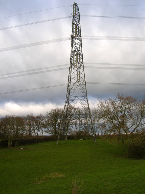
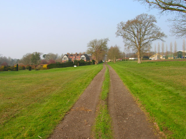
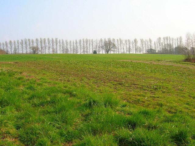
Bury Wood Images

Images are sourced within 2km of 50.955796/0.12075977 or Grid Reference TQ4919. Thanks to Geograph Open Source API. All images are credited.

Stile next to Crossroads, Palehouse Common Much negotiation required to avoid wet feet if trying to escape this field. The point where the footpath from Honey's Green meets a crossroads of minor lanes. The buildings behind belong to Palehouse Common Farm.
Stile next to Crossroads, Palehouse Common
Much negotiation required to avoid wet feet if trying to escape this field. The point where the footpath from Honey's Green meets a crossroads of minor lanes. The buildings behind belong to Palehouse Common Farm.
Electricity Pylon near The Lews Taken from the footpath from Honey's Green
Electricity Pylon near The Lews
Taken from the footpath from Honey's Green
Electricity Pylons near The Lews Straight on view of <a href="https://www.geograph.org.uk/photo/323458">TQ5018 : Electricity Pylon near The Lews</a> as the iron giant and his dark black cloud bear down on a lonely geographer. Actually the picture is taken in a small dip next to a stream looking up the slope towards the pylon.
Electricity Pylons near The Lews
Straight on view of TQ5018 : Electricity Pylon near The Lews as the iron giant and his dark black cloud bear down on a lonely geographer. Actually the picture is taken in a small dip next to a stream looking up the slope towards the pylon.
New Place Country house with gardens on the left, working farm to the right.
New Place
Country house with gardens on the left, working farm to the right.
Framfield Stream Small tributary of the Uck that rises near Blackboys. Taken from the footbridge that carries the footpath to Palehouse Common Farm.
Framfield Stream
Small tributary of the Uck that rises near Blackboys. Taken from the footbridge that carries the footpath to Palehouse Common Farm.
Birches Lining Pump Lane Planted as windbreakers these birches line the route of Pump Lane. Taken from the footpath near Framfield Stream.
Birches Lining Pump Lane
Planted as windbreakers these birches line the route of Pump Lane. Taken from the footpath near Framfield Stream.
New Place Farm The tree is located next to the point when the public footpath swings to the east.
New Place Farm
The tree is located next to the point when the public footpath swings to the east.
Agricultural dealers off Pump Lane in Pump Wood
Arches Farm by Pump Lane
Sharp bend in Pump Lane The entrance to Newplace Farm leads off to the left.
Sharp bend in Pump Lane
The entrance to Newplace Farm leads off to the left.
Bridge carrying Pump Lane over Framfield Stream
Wealdway passing through Maize fields
Framfield woodland Conifer plantation on land that is marked as fields on the 1940s OS map.
Framfield woodland
Conifer plantation on land that is marked as fields on the 1940s OS map.
Sign Post on Gatehouse Lane At junction with Pump Lane.
Sign Post on Gatehouse Lane
At junction with Pump Lane.
Oast house appearance to property on Gatehouse Lane
NW on Gatehouse Lane Gatehouse Cottages are on the right.
NW on Gatehouse Lane
Gatehouse Cottages are on the right.
Disused farm buildings near Gatehouse Lane
Private road leading to the B2102 Grid reference change
Private road leading to the B2102
Grid reference change
Show me another place!

Bury Wood is located at Grid Ref: TQ4919 (Lat: 50.955796, Lng: 0.12075977)

Administrative County: East Sussex

District: Wealden

Police Authority: Sussex

What 3 Words

///sculpture.replenish.corrupted. Near Uckfield, East Sussex

Related Wikis

Framfield

Framfield is a village and civil parish in the Wealden District of East Sussex, England. The village is located two miles (3 km) east of Uckfield; the...

Hempstead Meadow

Hempstead Meadow is a 1.6-hectare (4.0-acre) Local Nature Reserve in Uckfield in East Sussex. It is owned and managed by Uckfield Town Council.The site...

East Sussex National Golf Club

East Sussex National Golf Club is a golf course located near to Uckfield in East Sussex. It is considered one of the finer golf courses in the British...

Uckfield

Uckfield () is a town in the Wealden District of East Sussex in South East England. The town is on the River Uck, one of the tributaries of the River Ouse...

Uckfield Town F.C.

Uckfield Town F.C. was a football club based in Uckfield, East Sussex, England. For their final season, 2013–14, they were members of the Sussex County...

Little Horsted

Little Horsted (also known as Horsted Parva) is a village and civil parish in the Wealden district of East Sussex, England. It is located two miles (3...

Uckfield railway station

Uckfield railway station is the southern terminus of a branch of the Oxted Line in England, serving the town of Uckfield, East Sussex. It is 46 miles 8...

Horsted Place

Horsted Place is a Tudor Revival country house, now a hotel, in Little Horsted, East Sussex, England. The current building dates to 1850, when it was built...

Related Videos

National Trust - Sheffield Park walkabout

a beaitiful day at Sheffield Park, Ukcfield, UK.

Resurrecting a Forgotten Legend - HTPG 2019 Crowdfunder

In 2019, the Hawker Typhoon Preservation Group launched a crowdfunding effort to raise funds to restore the rear fuselage of ...

UCKFIELD DELIVERING!

Make sure to press the subscribe button! Tiktok - https://vm.tiktok.com/ZMRmUmaqd/ Instagram bio - ...

swcwalks, swcwalk 272, Uckfield to Lewes. 1/5/19.

This was another 13 mile Wealden Wonder! After the first 3/4 of a mile of road walking was eliminated. Straight after, there was a ...

Nearby Amenities

Located within 500m of 50.955796,0.12075977
Material: wood
Power: pole
Lat/Long: 50.9544361/0.1145846
Material: wood
Power: pole
Lat/Long: 50.9550495/0.1151577
Material: wood
Power: pole
Lat/Long: 50.9557979/0.1157686
Material: wood
Power: pole
Lat/Long: 50.9566186/0.1164786
Material: wood
Power: pole
Lat/Long: 50.9573821/0.1171202
Material: wood
Power: pole
Lat/Long: 50.9579436/0.1176361
Post Box
Brand: Royal Mail
Brand Wikidata: Q638098
Brand Wikipedia: en:Royal Mail
Operator: Royal Mail
Operator Wikidata: Q638098
Post Box Type: lamp
Ref: TN22 94
Royal Cypher: EIIR
Royal Cypher Wikidata: Q33102113
Lat/Long: 50.9529886/0.1166651
Cysleys Farm
Place: farm
Lat/Long: 50.9556835/0.11372
Paygate Farm
Place: farm
Source Name: OS_OpenData_StreetView
Lat/Long: 50.9524098/0.1187666
Upper Brookhouse Farm
Place: farm
Source Name: OS OpenData StreetView
Lat/Long: 50.9578079/0.1231155
Brook House Farm
Addr Postcode: TN22 5QJ
Place: farm
Source Name: OS OpenData StreetView
Lat/Long: 50.954498/0.1223118
Bus Stop
Rajdutt Restaurant
Bus: yes
Public Transport: platform
Shelter: yes
Lat/Long: 50.9529346/0.11669
Bus Stop
Rajdutt Restaurant
Bus: yes
Naptan AtcoCode: 1400WE0400
Naptan NaptanCode: esudadga
Public Transport: platform
Lat/Long: 50.9529177/0.1169509
Barrier: kissing_gate
Foot: yes
Lat/Long: 50.9529762/0.1165071
Barrier: stile
Lat/Long: 50.9570301/0.1263752
The data included in this document is from www.openstreetmap.org. The data is made available under ODbL.

Have you been to Bury Wood?

Leave your review of Bury Wood below (or comments, questions and feedback).