Littlejohn's Grove

Wood, Forest in Essex Uttlesford

England

Littlejohn's Grove

St. Mary's church, Strethall, Essex Almost entirely obscured by trees, Strethall church stands by a farm in a remote part of north Essex. The church dates back to the 11th century and has a Saxon nave with a fine Saxon chancel arch. The chancel and tower are 15th century.
St. Mary's church, Strethall, Essex Credit: Robert Edwards

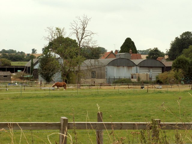
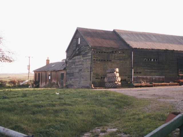
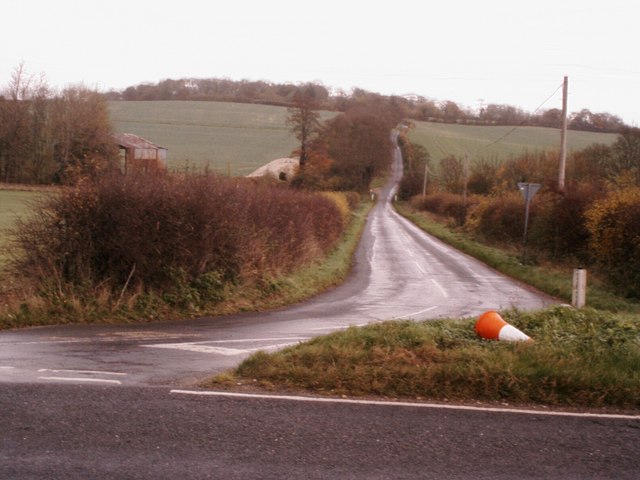
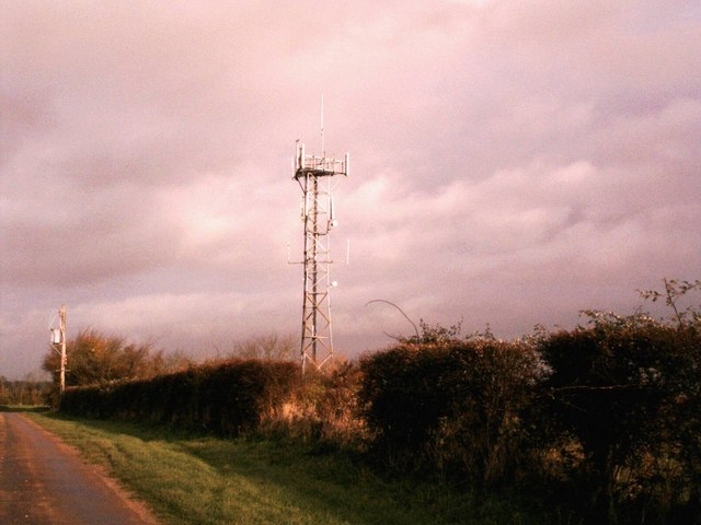
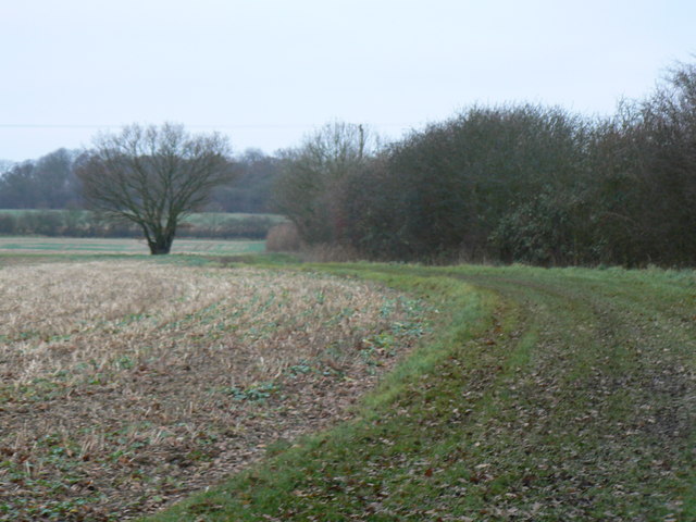
Littlejohn's Grove is a picturesque woodland located in Essex, England. Situated near the village of Wood, this forested area covers an approximate area of 100 acres and is known for its natural beauty and diverse wildlife.

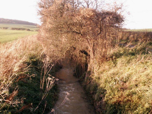
The grove is characterized by its dense canopy of mature trees, which primarily consists of oak, beech, and birch. These towering trees provide a serene and tranquil atmosphere, making it a popular destination for nature lovers and outdoor enthusiasts. The forest floor is covered in a rich carpet of moss, ferns, and wildflowers, adding to the enchanting ambiance of the grove.

Littlejohn's Grove is a haven for various wildlife species. Visitors may spot a wide range of bird species, including woodpeckers, owls, and thrushes, as well as small mammals like rabbits, squirrels, and hedgehogs. The grove is also home to a variety of insects, such as butterflies and beetles, which thrive in the diverse ecosystem.

There are several pathways that wind through the grove, allowing visitors to explore the woodland at their own pace. These trails offer stunning views of the surrounding landscape, with glimpses of nearby meadows and rolling hills. Along the paths, there are strategically placed benches and picnic areas where visitors can take a break and appreciate the serenity of the grove.

Littlejohn's Grove is open to the public year-round, and admission is free. It is a cherished natural treasure in the Essex countryside, providing a peaceful retreat for those seeking solace in nature.

If you have any feedback on the listing, please let us know in the comments section below.

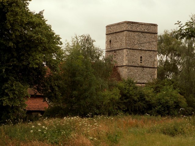
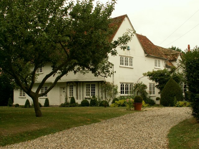
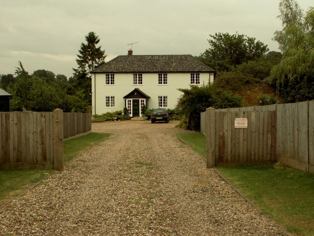
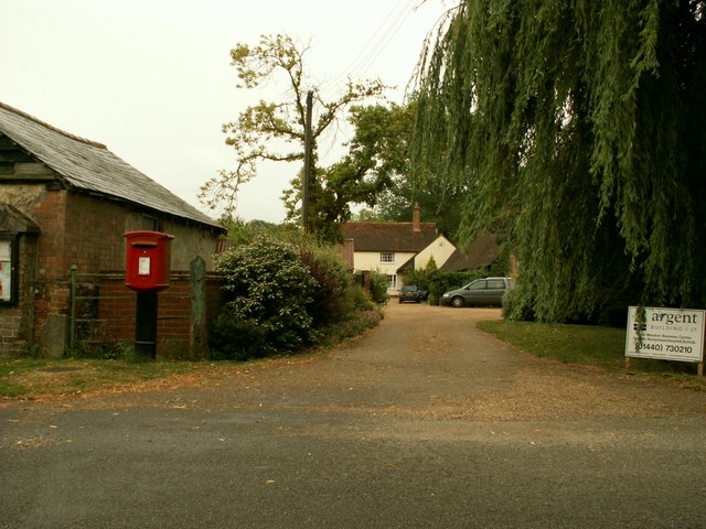
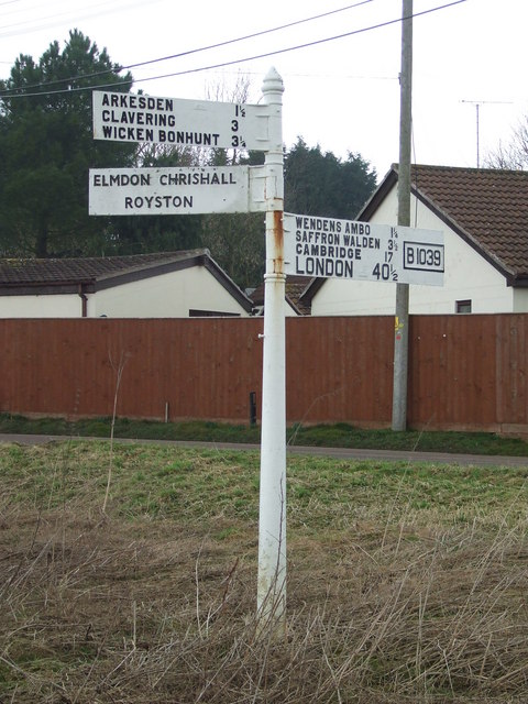
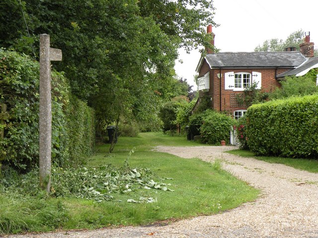
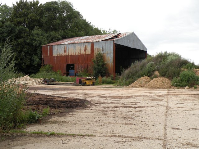
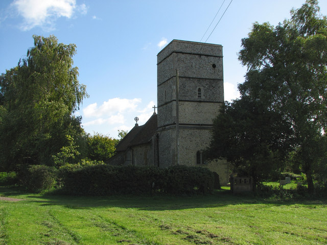
Littlejohn's Grove Images

Images are sourced within 2km of 52.019893/0.17069583 or Grid Reference TL4937. Thanks to Geograph Open Source API. All images are credited.

St. Mary's church, Strethall, Essex Almost entirely obscured by trees, Strethall church stands by a farm in a remote part of north Essex. The church dates back to the 11th century and has a Saxon nave with a fine Saxon chancel arch. The chancel and tower are 15th century.
St. Mary's church, Strethall, Essex
Almost entirely obscured by trees, Strethall church stands by a farm in a remote part of north Essex. The church dates back to the 11th century and has a Saxon nave with a fine Saxon chancel arch. The chancel and tower are 15th century.
Old house at Catmere End, Strethall, Essex
Seamans Farm, Littlebury Green, Essex
Green Farm, Littlebury Green, Essex
Clanverend Farm, near Wendens Ambo, Essex
Stream at Long Lane Bridge Stream alongside the B1039 at Long Lane Bridge swollen by recent heavy rain.
Stream at Long Lane Bridge
Stream alongside the B1039 at Long Lane Bridge swollen by recent heavy rain.
Farm buildings at New Farm Farm buildings at New Farm on the b1039 near Littlebury green
Farm buildings at New Farm
Farm buildings at New Farm on the b1039 near Littlebury green
The road to Littlebury Green Road to Littlebury Green from the B1039
The road to Littlebury Green
Road to Littlebury Green from the B1039
Communications tower near Littlebury Green Communications tower near Littlebury Green, almost certainly a mobile phone repeater.
Communications tower near Littlebury Green
Communications tower near Littlebury Green, almost certainly a mobile phone repeater.
Some path near Strethall Picture of a path and tree in top NE corner of the grid square. Best picture of the ones I took, as this square is just fields, and landscape shots were pretty hazy due to the clouds and it being quite a dark day.
Some path near Strethall
Picture of a path and tree in top NE corner of the grid square. Best picture of the ones I took, as this square is just fields, and landscape shots were pretty hazy due to the clouds and it being quite a dark day.
St Peter's, Littlebury Green St Peter's was set up as a chapel of ease to save residents the trek to the parish church in Littlebury.  It was assembled from a kit which came complete with stained glass windows.
St Peter's, Littlebury Green
St Peter's was set up as a chapel of ease to save residents the trek to the parish church in Littlebury. It was assembled from a kit which came complete with stained glass windows.
Road Junction Road junction near to Wendens Ambo, Essex. For close up of the finger post see <a title="https://www.geograph.org.uk/photo/1177218" href="https://www.geograph.org.uk/photo/1177218">Link</a>
Road Junction
Road junction near to Wendens Ambo, Essex. For close up of the finger post see Link
Finger Post Finger post at road junction near to Wendens Ambo, Essex. For overall view see <a title="https://www.geograph.org.uk/photo/1170884" href="https://www.geograph.org.uk/photo/1170884">Link</a>
Finger Post
Finger post at road junction near to Wendens Ambo, Essex. For overall view see Link
Public byway to Free Wood and beyond
An old farm building, southwest of Littlebury Green
Strethall: St Mary Parts of Strethall church date from the 11th century. It stands at the end of a lane high in the chalk hills of North Essex, just south of the Cambridgeshire border. For more about Strethall, see <span class="nowrap"><a title="http://www.recordinguttlesfordhistory.org.uk/strethall/strethallbriefhistory.html" rel="nofollow ugc noopener" href="http://www.recordinguttlesfordhistory.org.uk/strethall/strethallbriefhistory.html">Link</a><img style="margin-left:2px;" alt="External link" title="External link - shift click to open in new window" src="https://s1.geograph.org.uk/img/external.png" width="10" height="10"/></span> .
Strethall: St Mary
Parts of Strethall church date from the 11th century. It stands at the end of a lane high in the chalk hills of North Essex, just south of the Cambridgeshire border. For more about Strethall, see LinkExternal link .
Strethall: St Mary's church tower Parts of Strethall church date from the 11th century. It stands at the end of a lane high in the chalk hills of North Essex, just south of the Cambridgeshire border. The churchyard is small and there are lots of trees, so it's not easy to get a picture of the whole building. For more about Strethall, see <span class="nowrap"><a title="http://www.recordinguttlesfordhistory.org.uk/strethall/strethallbriefhistory.html" rel="nofollow ugc noopener" href="http://www.recordinguttlesfordhistory.org.uk/strethall/strethallbriefhistory.html">Link</a><img style="margin-left:2px;" alt="External link" title="External link - shift click to open in new window" src="https://s1.geograph.org.uk/img/external.png" width="10" height="10"/></span> .
Strethall: St Mary's church tower
Parts of Strethall church date from the 11th century. It stands at the end of a lane high in the chalk hills of North Essex, just south of the Cambridgeshire border. The churchyard is small and there are lots of trees, so it's not easy to get a picture of the whole building. For more about Strethall, see LinkExternal link .
Strethall: St Mary - the porch Parts of Strethall church date from the 11th century. It stands at the end of a lane high in the chalk hills of North Essex, just south of the Cambridgeshire border. For more about Strethall, see <span class="nowrap"><a title="http://www.recordinguttlesfordhistory.org.uk/strethall/strethallbriefhistory.html" rel="nofollow ugc noopener" href="http://www.recordinguttlesfordhistory.org.uk/strethall/strethallbriefhistory.html">Link</a><img style="margin-left:2px;" alt="External link" title="External link - shift click to open in new window" src="https://s1.geograph.org.uk/img/external.png" width="10" height="10"/></span> .
Strethall: St Mary - the porch
Parts of Strethall church date from the 11th century. It stands at the end of a lane high in the chalk hills of North Essex, just south of the Cambridgeshire border. For more about Strethall, see LinkExternal link .
Show me another place!

Littlejohn's Grove is located at Grid Ref: TL4937 (Lat: 52.019893, Lng: 0.17069583)

Administrative County: Essex

District: Uttlesford

Police Authority: Essex

What 3 Words

///dives.stunner.mocking. Near Saffron Walden, Essex

Related Wikis

Littlebury Green

Littlebury Green is a village in the civil parish of Littlebury and the district of Uttlesford in Essex, England. Littlebury Green is one of three settlements...

Strethall

Strethall is a village and a civil parish in the Uttlesford District, in the English county of Essex, near the town of Saffron Walden. Having suffered...

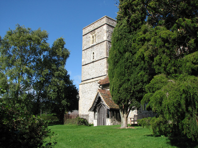
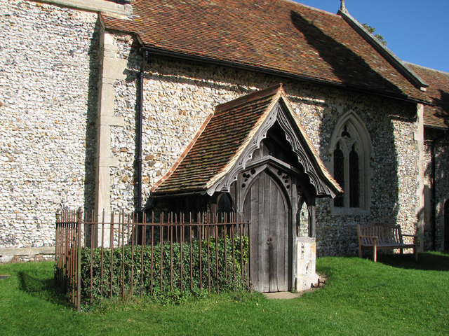
St Mary the Virgin Church, Wendens Ambo

St Mary the Virgin Church is a Church of England parish church in the village of Wendens Ambo in Essex, England. It is listed Grade I for its architectural...

Wendens Ambo

Wendens Ambo is a village in the Uttlesford district of Essex, England. The population at the 2011 census was measured at 473. Its name originates from...

Elmdon

See also, Elmdon, West Midlands.Elmdon is a village in the civil parish of Elmdon, Duddenhoe End & Wenden Lofts situated in the Uttlesford district of...

Audley End railway station

Audley End railway station is on the West Anglia Main Line serving the village of Wendens Ambo and the town of Saffron Walden in Essex, England. It is...

Garden Organic

Garden Organic, formerly known as the Henry Doubleday Research Association (HDRA), is a UK organic growing charity dedicated to researching and promoting...

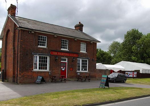
Waldstock Festival UK

Waldstock is an annual charity music festival held in the grounds of the Fighting Cocks Public House, Wendens Ambo, Essex. Waldstock is organised entirely...

Related Videos

UK Country Road Driving / Wenden Ambo, Essex

Dirigindo no interior da Inglaterra.

Nearby Amenities

Located within 500m of 52.019893,0.17069583
Teapond Grove
Place: locality
Lat/Long: 52.0212032/0.1687816
Littlejohn's Grove
Place: locality
Lat/Long: 52.0199025/0.1706914
Cups Grove
Place: locality
Lat/Long: 52.0187075/0.1721934
Bush Pasture Grove
Place: locality
Lat/Long: 52.0194668/0.1736525
The data included in this document is from www.openstreetmap.org. The data is made available under ODbL.

Have you been to Littlejohn's Grove?

Leave your review of Littlejohn's Grove below (or comments, questions and feedback).