Cups Grove

Wood, Forest in Essex Uttlesford

England

Cups Grove

Old house at Catmere End, Strethall, Essex
Old house at Catmere End, Strethall, Essex Credit: Robert Edwards

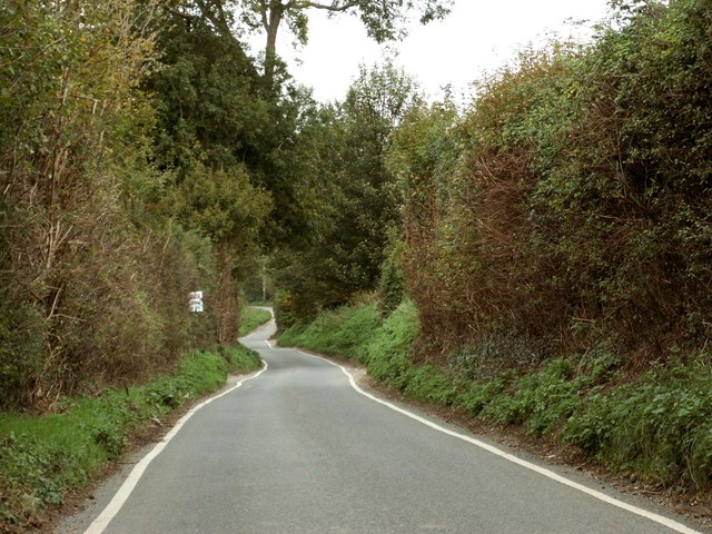
Cups Grove, located in Essex, England, is a picturesque woodland area known for its serene beauty and rich biodiversity. This enchanting forest, also referred to as Wood or Forest, covers a vast expanse of approximately 500 acres and is a popular destination for nature enthusiasts and adventurers.

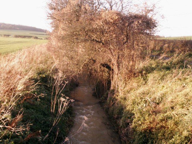
The woodland boasts a diverse range of tree species, including oak, beech, and birch, creating a stunning canopy that provides shade and shelter for various flora and fauna. Cups Grove is also home to a variety of wildlife, including deer, foxes, rabbits, and a plethora of bird species, making it a haven for birdwatchers.

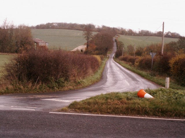
The forest offers a network of trails and footpaths, allowing visitors to explore its natural wonders. These paths lead to hidden ponds, streams, and meadows, providing opportunities for peaceful walks and picnics amidst the serene surroundings. The tranquility of Cups Grove is further enhanced by the absence of motor vehicles, making it an ideal retreat for those seeking solace in nature.

The area is managed by the local council, ensuring that the woodland is well-preserved and accessible to the public. In recent years, efforts have been made to promote sustainable practices and conservation, including the establishment of guided nature walks and educational programs for schools and community groups.

Cups Grove, with its idyllic charm and diverse ecosystem, offers a much-needed escape from the hustle and bustle of urban life. Whether one wishes to immerse themselves in the beauty of nature or simply unwind in a peaceful setting, this woodland gem in Essex provides an unforgettable experience for visitors of all ages.

If you have any feedback on the listing, please let us know in the comments section below.
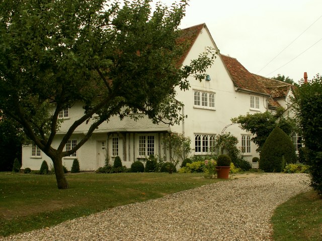
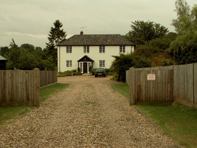
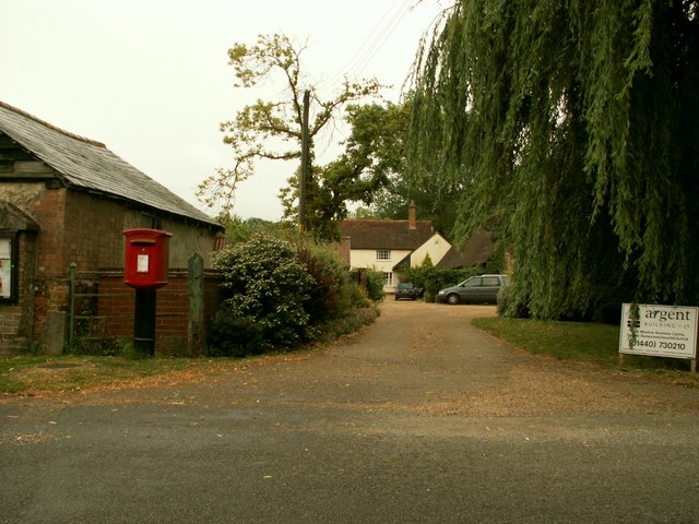
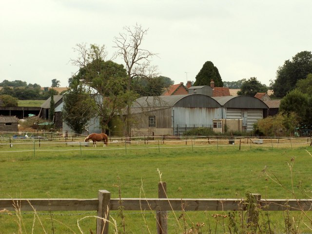
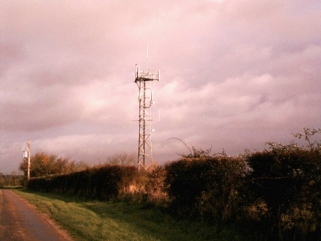
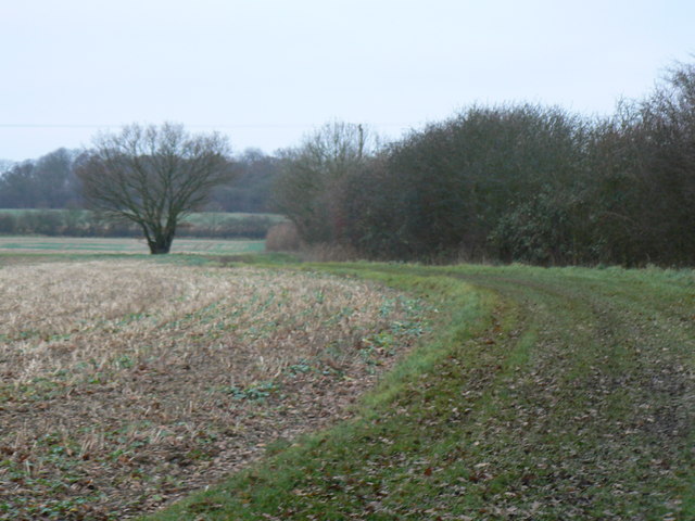
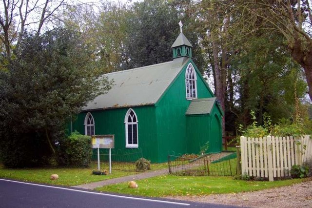
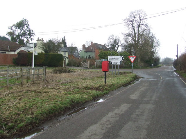
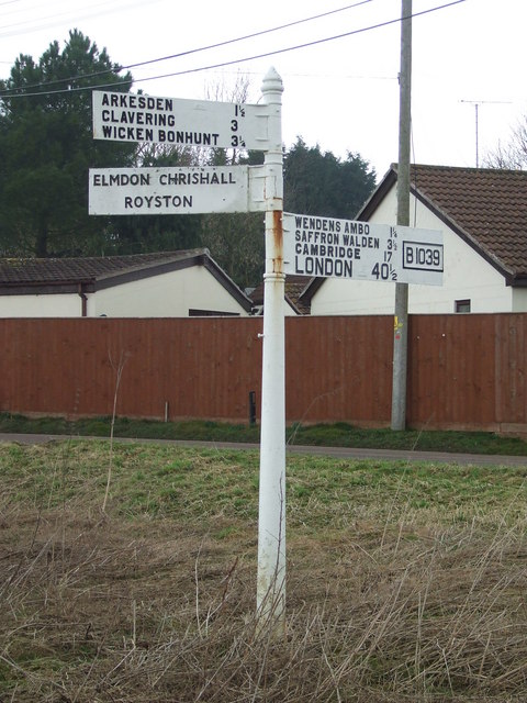
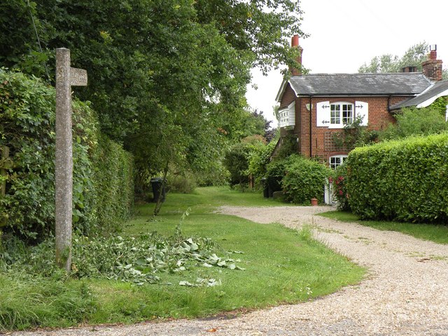
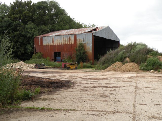
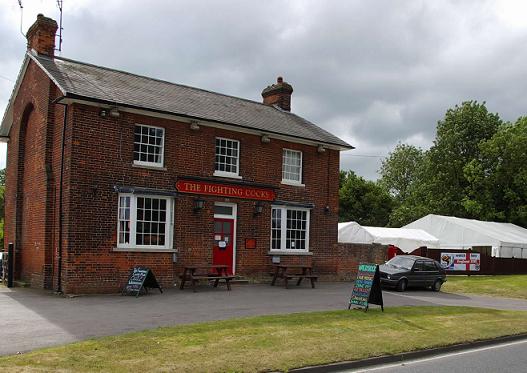
Cups Grove Images

Images are sourced within 2km of 52.018634/0.17217978 or Grid Reference TL4937. Thanks to Geograph Open Source API. All images are credited.

Old house at Catmere End, Strethall, Essex
Seamans Farm, Littlebury Green, Essex
Green Farm, Littlebury Green, Essex
Clanverend Farm, near Wendens Ambo, Essex
Poore Street This is the section near Clanverend Bridge.
Poore Street
This is the section near Clanverend Bridge.
Stream at Long Lane Bridge Stream alongside the B1039 at Long Lane Bridge swollen by recent heavy rain.
Stream at Long Lane Bridge
Stream alongside the B1039 at Long Lane Bridge swollen by recent heavy rain.
Farm buildings at New Farm Farm buildings at New Farm on the b1039 near Littlebury green
Farm buildings at New Farm
Farm buildings at New Farm on the b1039 near Littlebury green
The road to Littlebury Green Road to Littlebury Green from the B1039
The road to Littlebury Green
Road to Littlebury Green from the B1039
Communications tower near Littlebury Green Communications tower near Littlebury Green, almost certainly a mobile phone repeater.
Communications tower near Littlebury Green
Communications tower near Littlebury Green, almost certainly a mobile phone repeater.
Some path near Strethall Picture of a path and tree in top NE corner of the grid square. Best picture of the ones I took, as this square is just fields, and landscape shots were pretty hazy due to the clouds and it being quite a dark day.
Some path near Strethall
Picture of a path and tree in top NE corner of the grid square. Best picture of the ones I took, as this square is just fields, and landscape shots were pretty hazy due to the clouds and it being quite a dark day.
St Peter's, Littlebury Green St Peter's was set up as a chapel of ease to save residents the trek to the parish church in Littlebury.  It was assembled from a kit which came complete with stained glass windows.
St Peter's, Littlebury Green
St Peter's was set up as a chapel of ease to save residents the trek to the parish church in Littlebury. It was assembled from a kit which came complete with stained glass windows.
Road Junction Road junction near to Wendens Ambo, Essex. For close up of the finger post see <a title="https://www.geograph.org.uk/photo/1177218" href="https://www.geograph.org.uk/photo/1177218">Link</a>
Road Junction
Road junction near to Wendens Ambo, Essex. For close up of the finger post see Link
Finger Post Finger post at road junction near to Wendens Ambo, Essex. For overall view see <a title="https://www.geograph.org.uk/photo/1170884" href="https://www.geograph.org.uk/photo/1170884">Link</a>
Finger Post
Finger post at road junction near to Wendens Ambo, Essex. For overall view see Link
Public byway to Free Wood and beyond
An old farm building, southwest of Littlebury Green
Littlebury Green Road, Littlebury, Essex This photo shows the point where Littlebury Green Road crosses over the M11 motorway.
Littlebury Green Road, Littlebury, Essex
This photo shows the point where Littlebury Green Road crosses over the M11 motorway.
Chestnut Avenue, near Audley End, Essex The bridge carries the M11 motorway.
Chestnut Avenue, near Audley End, Essex
The bridge carries the M11 motorway.
Cereal crops near Wendens Ambo Views across cereal crops on farmland near Wendens Ambo. Some angry-looking storm clouds on the horizon.
Cereal crops near Wendens Ambo
Views across cereal crops on farmland near Wendens Ambo. Some angry-looking storm clouds on the horizon.
Show me another place!

Cups Grove is located at Grid Ref: TL4937 (Lat: 52.018634, Lng: 0.17217978)

Administrative County: Essex

District: Uttlesford

Police Authority: Essex

What 3 Words

///inferior.assess.song. Near Saffron Walden, Essex

Related Wikis

Littlebury Green

Littlebury Green is a village in the civil parish of Littlebury and the district of Uttlesford in Essex, England. Littlebury Green is one of three settlements...

Strethall

Strethall is a village and a civil parish in the Uttlesford District, in the English county of Essex, near the town of Saffron Walden. Having suffered...

St Mary the Virgin Church, Wendens Ambo

St Mary the Virgin Church is a Church of England parish church in the village of Wendens Ambo in Essex, England. It is listed Grade I for its architectural...

Wendens Ambo

Wendens Ambo is a village in the Uttlesford district of Essex, England. The population at the 2011 census was measured at 473. Its name originates from...

Audley End railway station

Audley End railway station is on the West Anglia Main Line serving the village of Wendens Ambo and the town of Saffron Walden in Essex, England. It is...

Waldstock Festival UK

Waldstock is an annual charity music festival held in the grounds of the Fighting Cocks Public House, Wendens Ambo, Essex. Waldstock is organised entirely...

Garden Organic

Garden Organic, formerly known as the Henry Doubleday Research Association (HDRA), is a UK organic growing charity dedicated to researching and promoting...
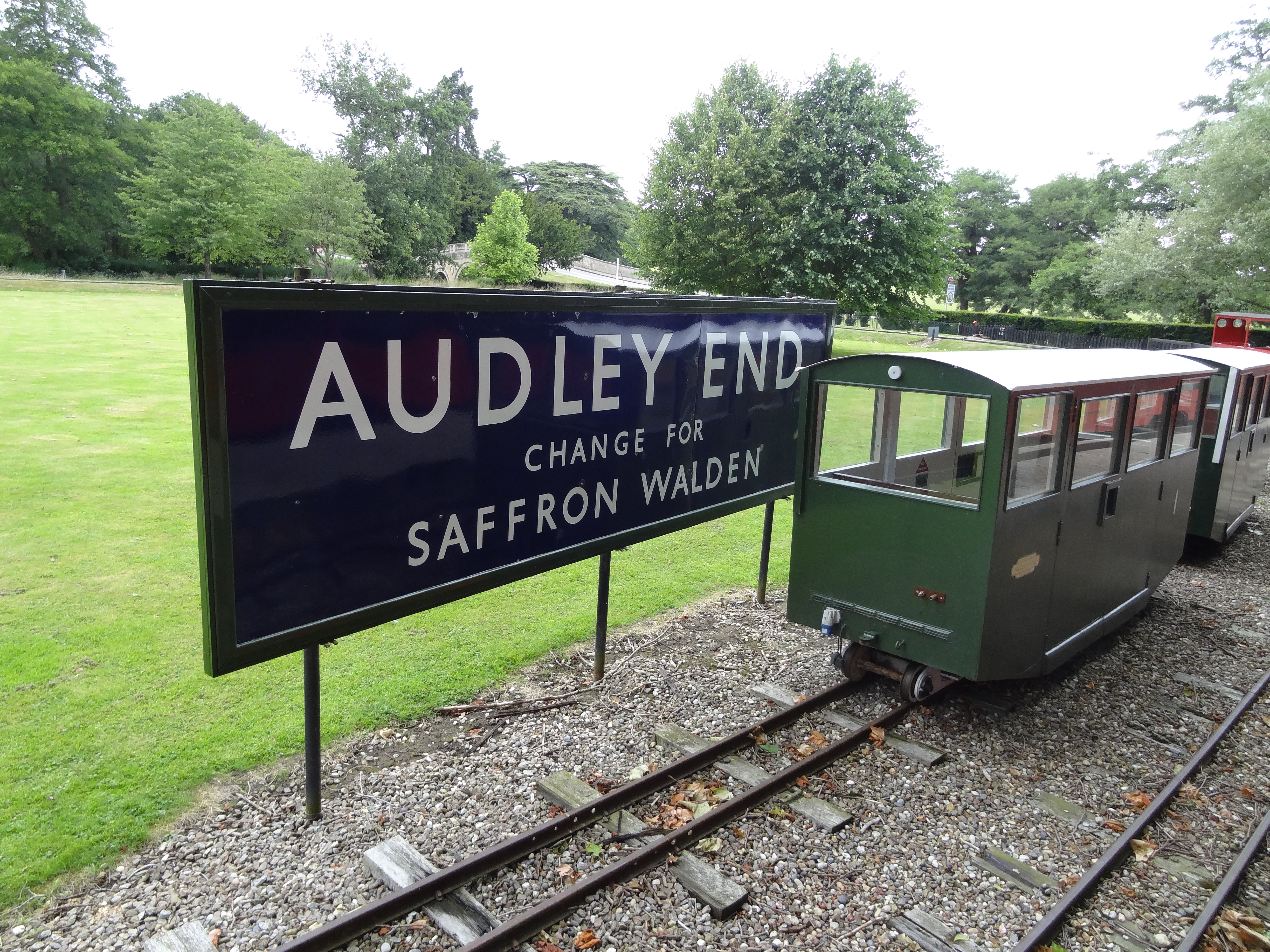
Audley End Railway

The Audley End Miniature Railway is a miniature railway in Essex, England. == Overview == The 10+1⁄4 in (260 mm)-gauge circuit was built by Lord Braybrooke...

Nearby Amenities

Located within 500m of 52.018634,0.17217978
Teapond Grove
Place: locality
Lat/Long: 52.0212032/0.1687816
Littlejohn's Grove
Place: locality
Lat/Long: 52.0199025/0.1706914
Cups Grove
Place: locality
Lat/Long: 52.0187075/0.1721934
Bush Pasture Grove
Place: locality
Lat/Long: 52.0194668/0.1736525
The data included in this document is from www.openstreetmap.org. The data is made available under ODbL.

Have you been to Cups Grove?

Leave your review of Cups Grove below (or comments, questions and feedback).