Five Acre Plantation

Wood, Forest in Lincolnshire East Lindsey

England

Five Acre Plantation

Orby: aerial 2022 (1)
Orby: aerial 2022 (1) Credit: Simon Tomson

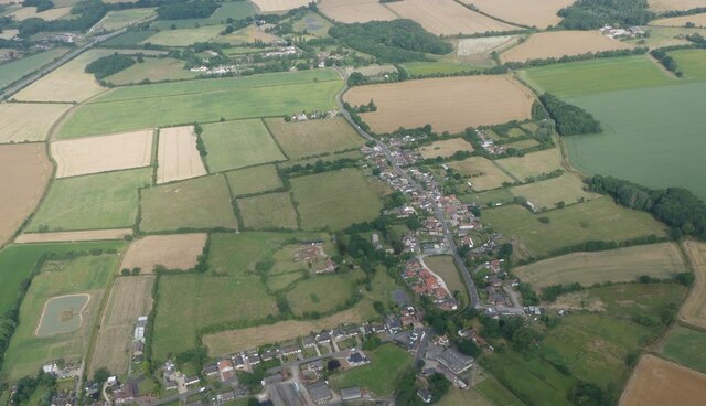
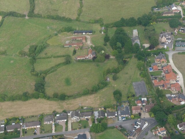
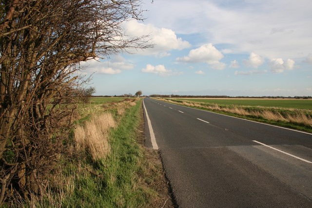
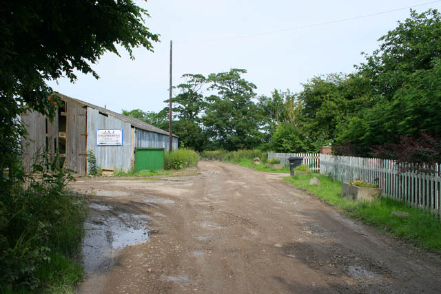
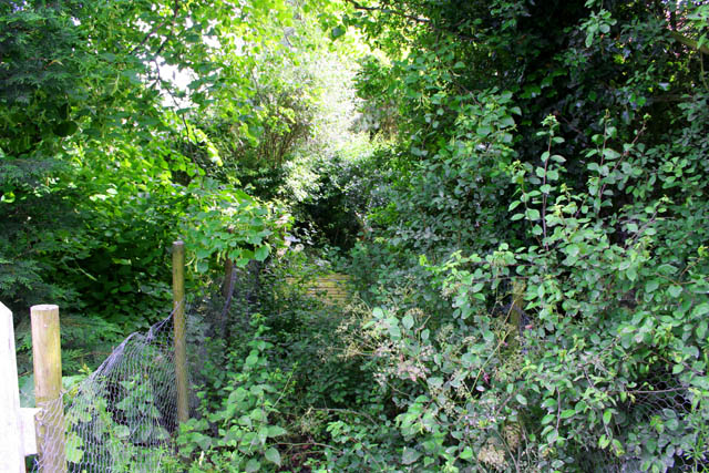
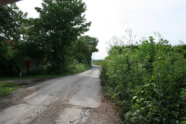
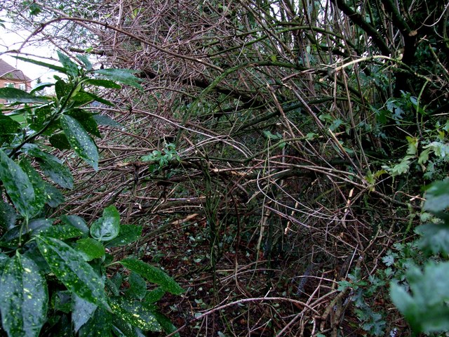
Five Acre Plantation is a picturesque woodland located in Lincolnshire, England. Spanning across an area of five acres, this plantation is known for its lush greenery and diverse range of trees. It is situated in a serene and tranquil environment, making it a popular destination for nature enthusiasts and those seeking a peaceful retreat.

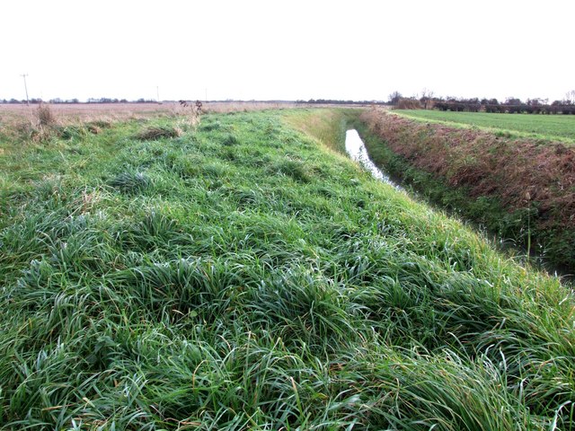
The woodland is home to a variety of tree species, including oak, beech, birch, and pine. These trees create a dense canopy that provides shade and shelter for a myriad of wildlife species, such as birds, squirrels, and rabbits. The plantation is also adorned with beautiful wildflowers that bloom during the spring and summer seasons, adding vibrant colors to the landscape.

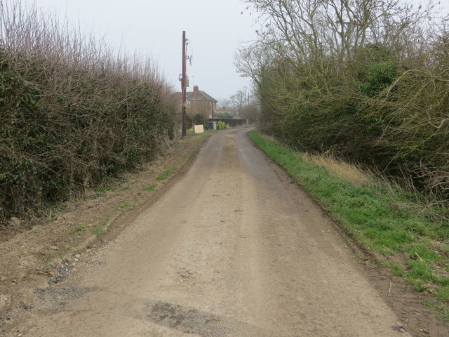
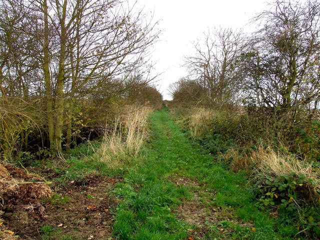
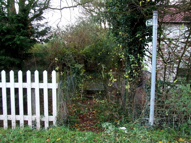
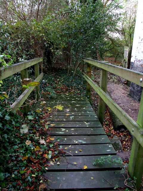
Visitors to Five Acre Plantation can enjoy a leisurely stroll through the well-maintained paths that wind through the woodland. The paths are surrounded by tall trees, creating a sense of being immersed in nature. There are also designated picnic areas, allowing visitors to relax and enjoy a meal amidst the tranquil surroundings.

The plantation is open to the public throughout the year, and entry is free of charge. It is a popular spot for nature walks, birdwatching, and photography. The management of Five Acre Plantation is committed to the conservation and preservation of the woodland, ensuring its natural beauty and biodiversity are maintained for future generations to enjoy.

Overall, Five Acre Plantation in Lincolnshire offers a peaceful and idyllic setting for those seeking a connection with nature. With its diverse range of trees, abundant wildlife, and well-maintained pathways, it is a haven of tranquility that provides a welcome respite from the hustle and bustle of everyday life.

If you have any feedback on the listing, please let us know in the comments section below.

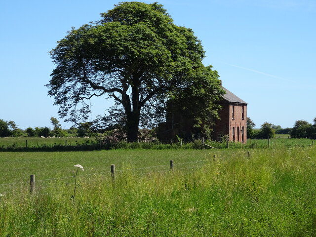
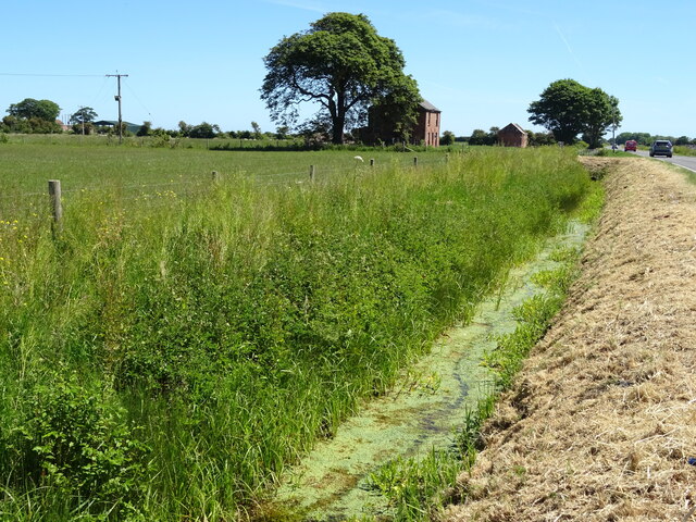
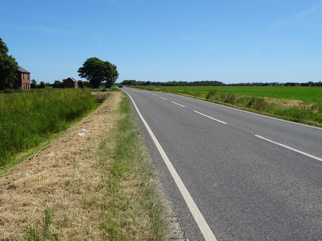
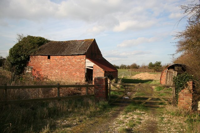
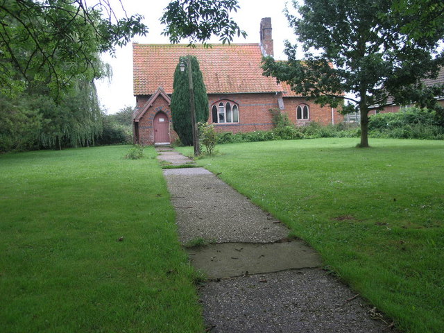
Five Acre Plantation Images

Images are sourced within 2km of 53.187886/0.2294642 or Grid Reference TF4967. Thanks to Geograph Open Source API. All images are credited.

Orby: aerial 2022 (1)
Orby: aerial 2022 (2)
Habertoft Lane approaching Habertoft Farm Looking eastward.
Habertoft Lane approaching Habertoft Farm
Looking eastward.
Farm buildings, Faulkers House Farm
Farmland towards poultry houses Off Marsh Road.
Farmland towards poultry houses
Off Marsh Road.
The Holding
The Holding
Drain beside Marsh Lane
Marsh Lane Towards Orby Marsh.
Marsh Lane
Towards Orby Marsh.
The Holding Disused farm buildings at the Holding near Orby
The Holding
Disused farm buildings at the Holding near Orby
Marsh Road Typical Lincolnshire marshland road near Orby .... flat and straight
Marsh Road
Typical Lincolnshire marshland road near Orby .... flat and straight
The end of the road Habertoft consists of three houses, a farm and a small agricultural engineering works. The metalled road stops here but the way carries on across the fields as a farm track.
The end of the road
Habertoft consists of three houses, a farm and a small agricultural engineering works. The metalled road stops here but the way carries on across the fields as a farm track.
Overgrown path This is a public footpath would you believe!
Overgrown path
This is a public footpath would you believe!
One road in and one road out Habertoft, comprising 3 houses and one large farm, is at the end of the road. Even so it still has its own post box.
Looking towards Orby Bank and Welton-le-Marsh.
One road in and one road out
Habertoft, comprising 3 houses and one large farm, is at the end of the road. Even so it still has its own post box. Looking towards Orby Bank and Welton-le-Marsh.
Farm track and dyke near Habertoft At the point where the track ends, a footpath heads northwards to Habertoft. I'm standing near where another footpath is marked on the map, but there is no sign in the field.
Farm track and dyke near Habertoft
At the point where the track ends, a footpath heads northwards to Habertoft. I'm standing near where another footpath is marked on the map, but there is no sign in the field.
Footpath to Habertoft The footpath is clear and well defined this end, even though there is no sign, but at the other end the exit is completely blocked.
Footpath to Habertoft
The footpath is clear and well defined this end, even though there is no sign, but at the other end the exit is completely blocked.
Footpath at Habertoft The only thing that's happened since Kate Jewell visited these parts, <a title="https://www.geograph.org.uk/photo/472652" href="https://www.geograph.org.uk/photo/472652">Link</a> is that the weeds have started to die back. Not much of a footpath. <a title="https://www.geograph.org.uk/photo/620915" href="https://www.geograph.org.uk/photo/620915">Link</a>
Footpath at Habertoft
The only thing that's happened since Kate Jewell visited these parts, Link is that the weeds have started to die back. Not much of a footpath. Link
Footbridge at Habertoft The footpath beyond the bridge is completely overgrown. Another house appears to have been built since Kate Jewel visited this square, the grounds of which are beyond. There is another footpath to the east and this has been tied off with baling twine. Two footpaths unavailable in the same square.
Footbridge at Habertoft
The footpath beyond the bridge is completely overgrown. Another house appears to have been built since Kate Jewel visited this square, the grounds of which are beyond. There is another footpath to the east and this has been tied off with baling twine. Two footpaths unavailable in the same square.
Footpath at Habertoft A pair of loppers or a chainsaw would be the only means of getting any further on this footpath.
Footpath at Habertoft
A pair of loppers or a chainsaw would be the only means of getting any further on this footpath.
Show me another place!

Five Acre Plantation is located at Grid Ref: TF4967 (Lat: 53.187886, Lng: 0.2294642)

Administrative County: Lincolnshire

District: East Lindsey

Police Authority: Lincolnshire

What 3 Words

///escalates.custom.sliders. Near Burgh le Marsh, Lincolnshire

Related Wikis

Orby

Orby is a village and civil parish in the East Lindsey district of Lincolnshire, England. It is situated approximately 9 miles (14 km) east from the town...

Burgh-le-Marsh railway station

Burgh-le-Marsh was a railway station on the East Lincolnshire Railway which served the town of Burgh le Marsh in Lincolnshire between 1848 and 1970. It...

Welton le Marsh

Welton le Marsh (or Welton in the Marsh) is a village and civil parish in the East Lindsey district of Lincolnshire, England. It is situated approximately...

Burgh Bypass

Burgh Bypass is a bypass of the town of Burgh Le Marsh near Skegness. It was passed in 2005 and construction began in September 2006 after a lengthy campaign...

Gunby Hall

Gunby Hall is a country house in Gunby, near Spilsby, in Lincolnshire, England, reached by a half mile long private drive. The Estate comprises the 42...

Sloothby

Sloothby is a small village in the East Lindsey district of Lincolnshire, England. It is situated approximately 5 miles (8 km) south from the Lincolnshire...

Burgh le Marsh

Burgh le Marsh is a town and civil parish in the East Lindsey district of Lincolnshire, England. == Geography == The town is built on a low hill surrounded...

Thwaite Priory

Thwaite Priory was a monastery at Welton le Marsh in Lincolnshire, England. It was a house of Augustinian Canons Regular, dependent on Thornton Abbey...

Nearby Amenities

Located within 500m of 53.187886,0.2294642
Boothby Pumping Station
Man Made: pumping_station
Operator: Lindsey Marsh Drainage Board
Source: Bing
Lat/Long: 53.1909913/0.2309084
The data included in this document is from www.openstreetmap.org. The data is made available under ODbL.

Have you been to Five Acre Plantation?

Leave your review of Five Acre Plantation below (or comments, questions and feedback).