Peter's Shaw

Wood, Forest in Sussex Wealden

England

Peter's Shaw

Stile next to Crossroads, Palehouse Common Much negotiation required to avoid wet feet if trying to escape this field. The point where the footpath from Honey's Green meets a crossroads of minor lanes. The buildings behind belong to Palehouse Common Farm.
Stile next to Crossroads, Palehouse Common Credit: Simon Carey

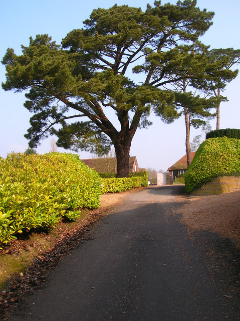
Peter's Shaw is a picturesque wood located in Sussex, England. Situated in a charming forest area, it covers a vast area of land and is renowned for its natural beauty and tranquility. The wood is named after its owner, Peter Shaw, who has dedicated himself to preserving its pristine state.

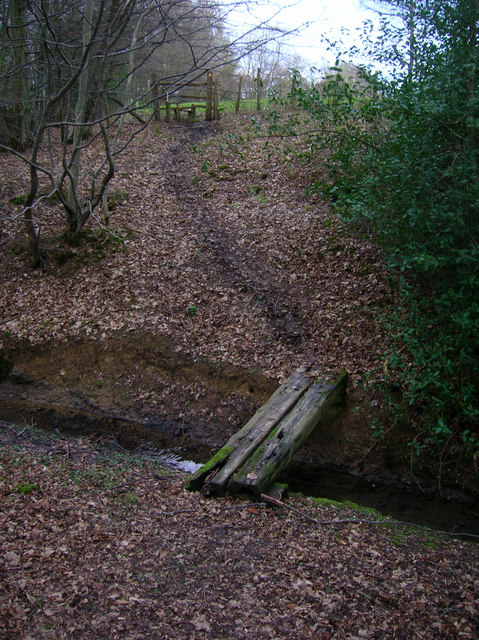
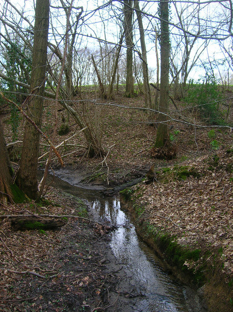
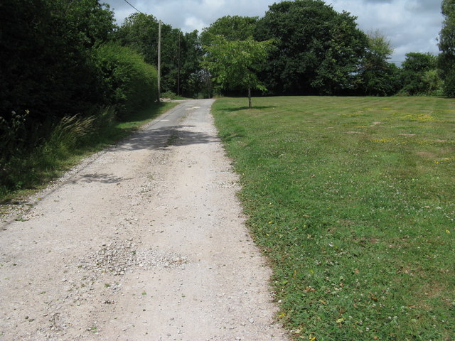
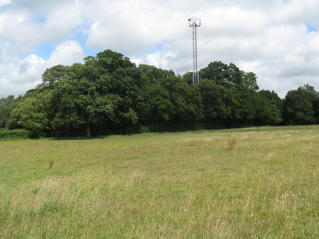
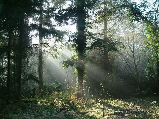
The wood is characterized by its dense canopy of tall oak, beech, and pine trees, creating a serene and peaceful atmosphere. Walking along the well-maintained trails, visitors can immerse themselves in the beauty of nature, surrounded by the sights and sounds of various wildlife species that call the wood their home. The vibrant flora adds to the wood's allure, with an array of wildflowers, ferns, and mosses adorning the forest floor.

Peter's Shaw is not only a haven for nature enthusiasts but also a popular destination for outdoor activities. The wood offers numerous opportunities for hiking, bird watching, and photography. There are also designated areas for picnics and camping, allowing visitors to fully appreciate the wood's charm and spend quality time with family and friends.

To ensure the wood's preservation, Peter Shaw has implemented sustainable practices, such as controlled logging and habitat management, which have helped maintain the balance between conservation and recreational activities. Additionally, educational programs are organized to raise awareness about the importance of environmental conservation and the significance of Peter's Shaw in supporting biodiversity.

Overall, Peter's Shaw in Sussex is a remarkable woodland that offers a peaceful retreat from the bustling city life. With its breathtaking scenery and diverse wildlife, it serves as a testament to the beauty of nature and the importance of responsible land stewardship.

If you have any feedback on the listing, please let us know in the comments section below.
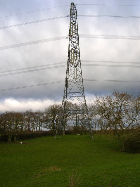
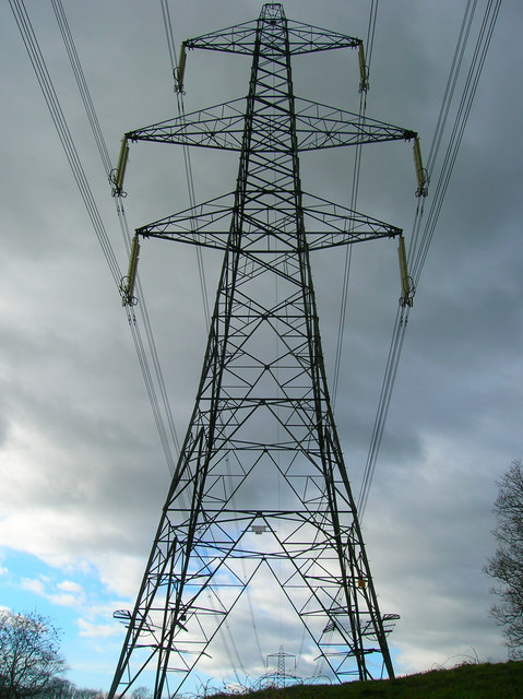
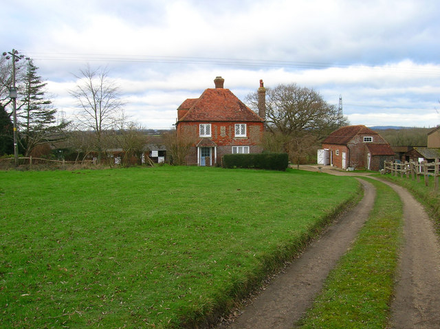
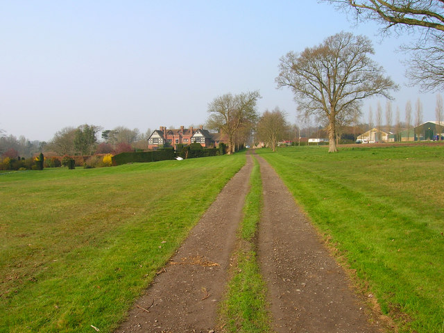
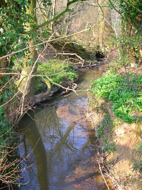
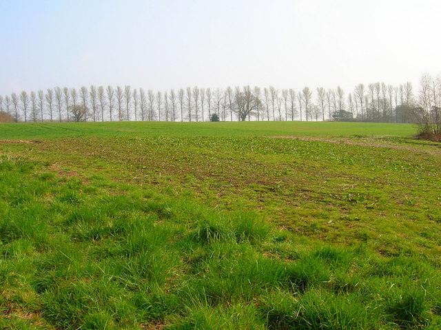
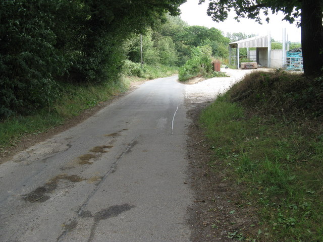
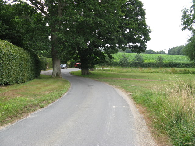
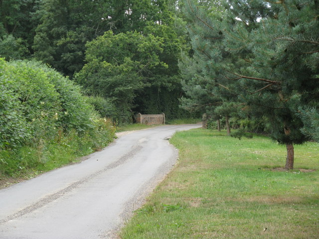
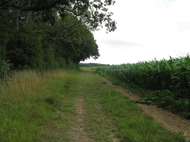
Peter's Shaw Images

Images are sourced within 2km of 50.952394/0.12387966 or Grid Reference TQ4919. Thanks to Geograph Open Source API. All images are credited.

Stile next to Crossroads, Palehouse Common Much negotiation required to avoid wet feet if trying to escape this field. The point where the footpath from Honey's Green meets a crossroads of minor lanes. The buildings behind belong to Palehouse Common Farm.
Stile next to Crossroads, Palehouse Common
Much negotiation required to avoid wet feet if trying to escape this field. The point where the footpath from Honey's Green meets a crossroads of minor lanes. The buildings behind belong to Palehouse Common Farm.
Electricity Pylon near The Lews Taken from the footpath from Honey's Green
Electricity Pylon near The Lews
Taken from the footpath from Honey's Green
Electricity Pylons near The Lews Straight on view of <a href="https://www.geograph.org.uk/photo/323458">TQ5018 : Electricity Pylon near The Lews</a> as the iron giant and his dark black cloud bear down on a lonely geographer. Actually the picture is taken in a small dip next to a stream looking up the slope towards the pylon.
Electricity Pylons near The Lews
Straight on view of TQ5018 : Electricity Pylon near The Lews as the iron giant and his dark black cloud bear down on a lonely geographer. Actually the picture is taken in a small dip next to a stream looking up the slope towards the pylon.
Footbridge over Unnamed Stream, The Lews The stream actually carves out a small gorge here, the drop from either side of the footpath towards the footbridge is quite steep. This view looks northwards.
Footbridge over Unnamed Stream, The Lews
The stream actually carves out a small gorge here, the drop from either side of the footpath towards the footbridge is quite steep. This view looks northwards.
Two Streams Converging, The Lews Taken from the footbridge <a href="https://www.geograph.org.uk/photo/323477">TQ5017 : Footbridge over Unnamed Stream, The Lews</a> looking westwards.
Two Streams Converging, The Lews
Taken from the footbridge TQ5017 : Footbridge over Unnamed Stream, The Lews looking westwards.
Upper Honeys Green Farm The footpath follows the track then turns right next to the barn.
Upper Honeys Green Farm
The footpath follows the track then turns right next to the barn.
New Place Country house with gardens on the left, working farm to the right.
New Place
Country house with gardens on the left, working farm to the right.
Framfield Stream Small tributary of the Uck that rises near Blackboys. Taken from the footbridge that carries the footpath to Palehouse Common Farm.
Framfield Stream
Small tributary of the Uck that rises near Blackboys. Taken from the footbridge that carries the footpath to Palehouse Common Farm.
Birches Lining Pump Lane Planted as windbreakers these birches line the route of Pump Lane. Taken from the footpath near Framfield Stream.
Birches Lining Pump Lane
Planted as windbreakers these birches line the route of Pump Lane. Taken from the footpath near Framfield Stream.
New Place Farm The tree is located next to the point when the public footpath swings to the east.
New Place Farm
The tree is located next to the point when the public footpath swings to the east.
Footpath approach to Lower Honeys Green Farm
Communications Mast on the edge of The Bungers
Agricultural dealers off Pump Lane in Pump Wood
Arches Farm by Pump Lane
Sharp bend in Pump Lane The entrance to Newplace Farm leads off to the left.
Sharp bend in Pump Lane
The entrance to Newplace Farm leads off to the left.
Bridge carrying Pump Lane over Framfield Stream
Wealdway passing through Maize fields
Framfield woodland Conifer plantation on land that is marked as fields on the 1940s OS map.
Framfield woodland
Conifer plantation on land that is marked as fields on the 1940s OS map.
Show me another place!

Peter's Shaw is located at Grid Ref: TQ4919 (Lat: 50.952394, Lng: 0.12387966)

Administrative County: East Sussex

District: Wealden

Police Authority: Sussex

What 3 Words

///icon.refer.skate. Near Uckfield, East Sussex

Related Wikis

Framfield

Framfield is a village and civil parish in the Wealden District of East Sussex, England. The village is located two miles (3 km) east of Uckfield; the...

Ridgewood, East Sussex

Ridgewood is a suburb and voting ward 1 mile south of Uckfield in East Sussex, England. It is inland between the seaside towns of Eastbourne (20 mi (32...

East Sussex National Golf Club

East Sussex National Golf Club is a golf course located near to Uckfield in East Sussex. It is considered one of the finer golf courses in the British...

Little Horsted

Little Horsted (also known as Horsted Parva) is a village and civil parish in the Wealden district of East Sussex, England. It is located two miles (3...

Nearby Amenities

Located within 500m of 50.952394,0.12387966
Paygate Farm
Place: farm
Source Name: OS_OpenData_StreetView
Lat/Long: 50.9524098/0.1187666
Brook House Farm
Addr Postcode: TN22 5QJ
Place: farm
Source Name: OS OpenData StreetView
Lat/Long: 50.954498/0.1223118
Bus Stop
Rajdutt Restaurant
Bus: yes
Naptan AtcoCode: 1400WE0400
Naptan NaptanCode: esudadga
Public Transport: platform
Lat/Long: 50.9529177/0.1169509
Palehouse Farm
Place: farm
Source Name: OS_OpenData_Streetview
Lat/Long: 50.950499/0.1259994
Palehouse Common
Place: hamlet
Source Name: OS_OpenData_Streetview
Lat/Long: 50.9497758/0.1277482
High Cross
Place: locality
Lat/Long: 50.9488498/0.1228559
Barrier: stile
Lat/Long: 50.950156/0.124906
The data included in this document is from www.openstreetmap.org. The data is made available under ODbL.

Have you been to Peter's Shaw?

Leave your review of Peter's Shaw below (or comments, questions and feedback).