Duck Decoy Holt

Wood, Forest in Lincolnshire East Lindsey

England

Duck Decoy Holt

Fields towards Sloothby: aerial 2023
Fields towards Sloothby: aerial 2023 Credit: Chris

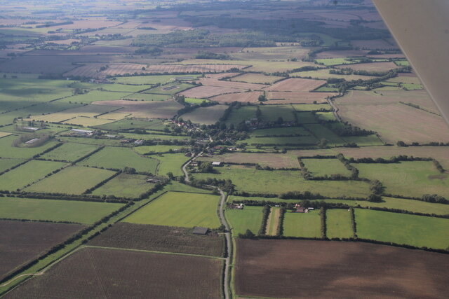
Duck Decoy Holt is a small wood located in the county of Lincolnshire, England. Situated in the heart of the countryside, this forested area spans approximately 200 acres and is renowned for its rich wildlife and historical significance.

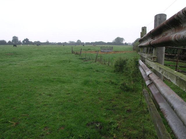
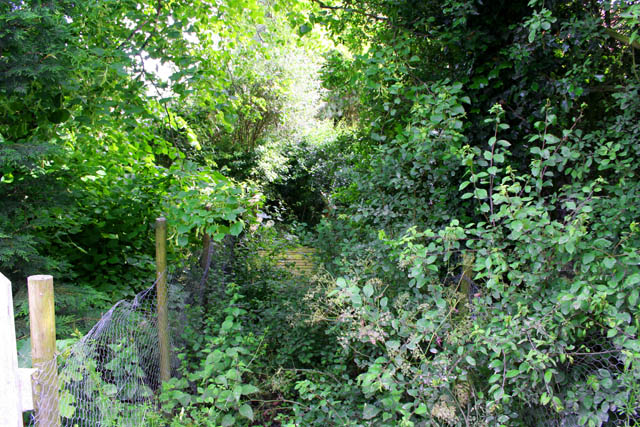
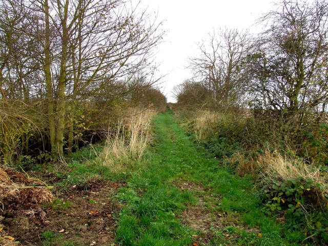
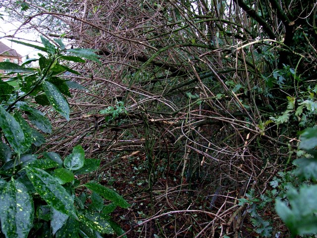
The wood is predominantly composed of native deciduous trees, including oak, beech, and birch, which provide a diverse and vibrant habitat for various flora and fauna. It is particularly known for its abundance of waterfowl, making it a popular spot for birdwatching enthusiasts. The wood features a network of winding paths and trails, allowing visitors to explore its natural beauty and observe the many species that call it home.

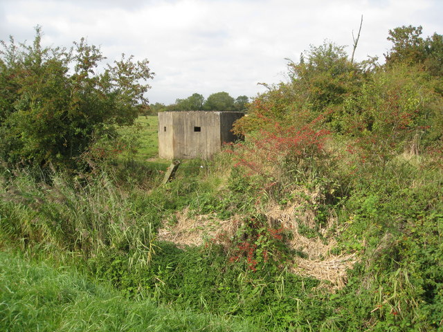
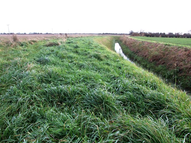
Duck Decoy Holt has a fascinating history dating back to the medieval times when it was used as a duck decoy, a specialized trapping method for capturing wildfowl. The remnants of the decoy, including channels and ponds, can still be seen today, serving as a reminder of the area's past.

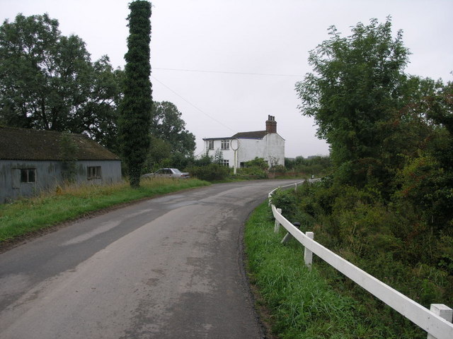
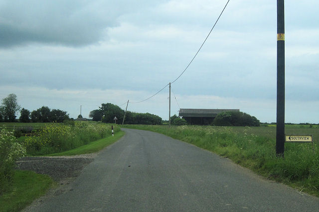
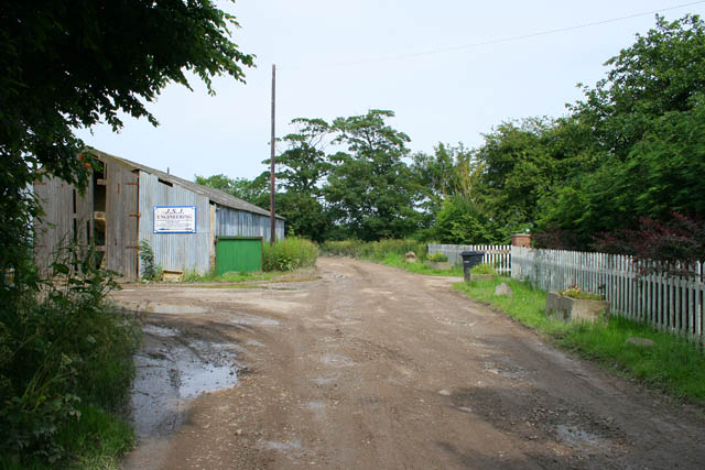
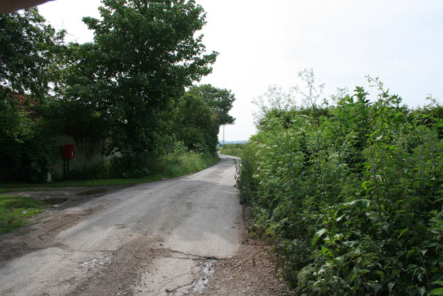
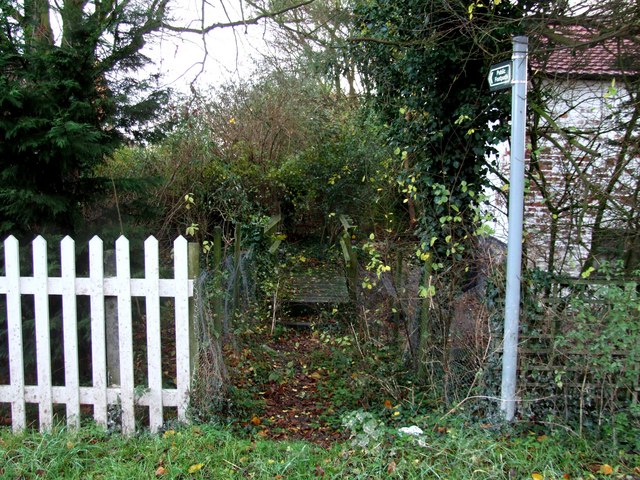
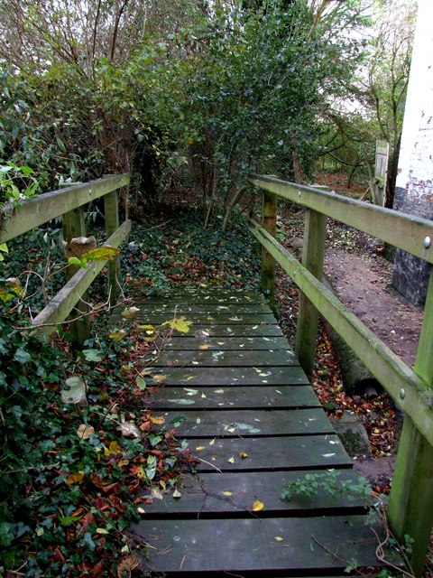
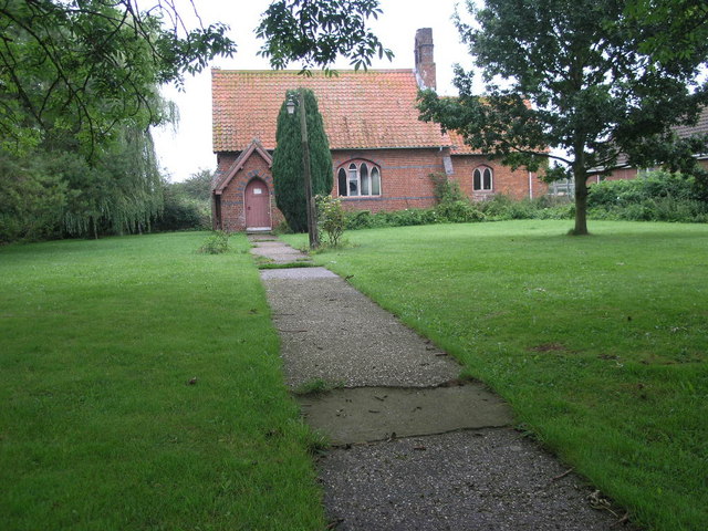
The wood is managed by a local conservation organization in partnership with the government, ensuring its preservation and protection for future generations. It is open to the public year-round, offering a peaceful escape from the hustle and bustle of urban life.

Visitors to Duck Decoy Holt can enjoy leisurely walks, picnics, or simply immerse themselves in the tranquil atmosphere. The wood provides an ideal setting for nature lovers, birdwatchers, and those seeking a slice of nature's beauty in the heart of Lincolnshire.

If you have any feedback on the listing, please let us know in the comments section below.

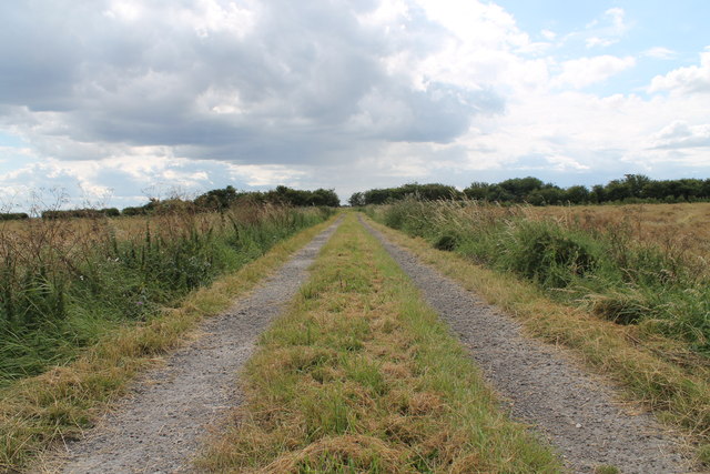
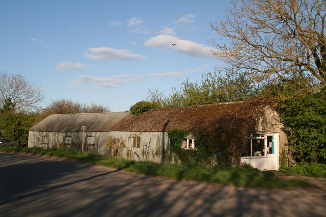
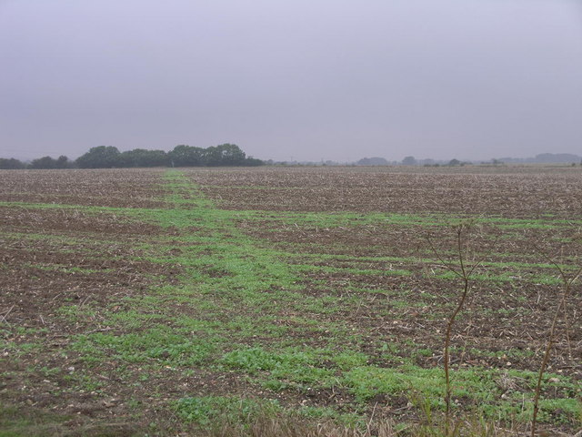
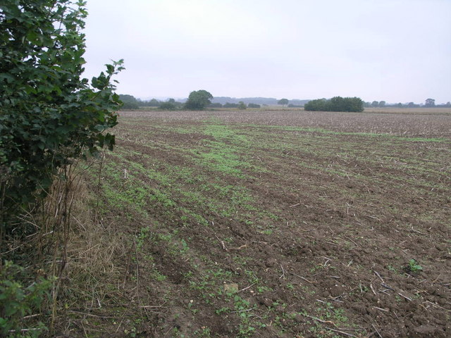
Duck Decoy Holt Images

Images are sourced within 2km of 53.203561/0.23354226 or Grid Reference TF4969. Thanks to Geograph Open Source API. All images are credited.

Fields towards Sloothby: aerial 2023
Artificial Tree The tall narrow tree is actually a telegraph pole that is covered in ivy.  The tall white pole near the house has a large round hoop on the top which looks like it may have once been a petrol station.
Artificial Tree
The tall narrow tree is actually a telegraph pole that is covered in ivy. The tall white pole near the house has a large round hoop on the top which looks like it may have once been a petrol station.
Pillbox off Sloothby High Lane
Sloothby High Lane at entrance to Southview
Low Lane - A track off Sloothby High Lane
Sloothby's iconic Community Centre Tea and cakes served on Tuesday mornings.
Sloothby's iconic Community Centre
Tea and cakes served on Tuesday mornings.
Sloothby Mission Church Services are held here at 3 PM on the third Sunday of every month.
Sloothby Mission Church
Services are held here at 3 PM on the third Sunday of every month.
Path in the Rain This footpath is well marked if not so well walked.  It leads to Bonthorpe a couple of squares north.  This one is for all the ex-pats in Australia that are missing the rain.
Path in the Rain
This footpath is well marked if not so well walked. It leads to Bonthorpe a couple of squares north. This one is for all the ex-pats in Australia that are missing the rain.
Path to Willoughby This footpath which is visible in the field as a line of small green plants leads to Willoughby in the next square west.
Path to Willoughby
This footpath which is visible in the field as a line of small green plants leads to Willoughby in the next square west.
Cows and Crash Barrier The cows in this field must need some controlling at times given the motorway barrier in use at the field entrance.
Cows and Crash Barrier
The cows in this field must need some controlling at times given the motorway barrier in use at the field entrance.
The end of the road Habertoft consists of three houses, a farm and a small agricultural engineering works. The metalled road stops here but the way carries on across the fields as a farm track.
The end of the road
Habertoft consists of three houses, a farm and a small agricultural engineering works. The metalled road stops here but the way carries on across the fields as a farm track.
Overgrown path This is a public footpath would you believe!
Overgrown path
This is a public footpath would you believe!
One road in and one road out Habertoft, comprising 3 houses and one large farm, is at the end of the road. Even so it still has its own post box.
Looking towards Orby Bank and Welton-le-Marsh.
One road in and one road out
Habertoft, comprising 3 houses and one large farm, is at the end of the road. Even so it still has its own post box. Looking towards Orby Bank and Welton-le-Marsh.
Farm track and dyke near Habertoft At the point where the track ends, a footpath heads northwards to Habertoft. I'm standing near where another footpath is marked on the map, but there is no sign in the field.
Farm track and dyke near Habertoft
At the point where the track ends, a footpath heads northwards to Habertoft. I'm standing near where another footpath is marked on the map, but there is no sign in the field.
Footpath to Habertoft The footpath is clear and well defined this end, even though there is no sign, but at the other end the exit is completely blocked.
Footpath to Habertoft
The footpath is clear and well defined this end, even though there is no sign, but at the other end the exit is completely blocked.
Footpath at Habertoft The only thing that's happened since Kate Jewell visited these parts, <a title="https://www.geograph.org.uk/photo/472652" href="https://www.geograph.org.uk/photo/472652">Link</a> is that the weeds have started to die back. Not much of a footpath. <a title="https://www.geograph.org.uk/photo/620915" href="https://www.geograph.org.uk/photo/620915">Link</a>
Footpath at Habertoft
The only thing that's happened since Kate Jewell visited these parts, Link is that the weeds have started to die back. Not much of a footpath. Link
Footbridge at Habertoft The footpath beyond the bridge is completely overgrown. Another house appears to have been built since Kate Jewel visited this square, the grounds of which are beyond. There is another footpath to the east and this has been tied off with baling twine. Two footpaths unavailable in the same square.
Footbridge at Habertoft
The footpath beyond the bridge is completely overgrown. Another house appears to have been built since Kate Jewel visited this square, the grounds of which are beyond. There is another footpath to the east and this has been tied off with baling twine. Two footpaths unavailable in the same square.
Footpath at Habertoft A pair of loppers or a chainsaw would be the only means of getting any further on this footpath.
Footpath at Habertoft
A pair of loppers or a chainsaw would be the only means of getting any further on this footpath.
Show me another place!

Duck Decoy Holt is located at Grid Ref: TF4969 (Lat: 53.203561, Lng: 0.23354226)

Administrative County: Lincolnshire

District: East Lindsey

Police Authority: Lincolnshire

What 3 Words

///aged.clotting.myth. Near Burgh le Marsh, Lincolnshire

Nearby Locations

Duck Decoy Holt

Related Wikis

Sloothby

Sloothby is a small village in the East Lindsey district of Lincolnshire, England. It is situated approximately 5 miles (8 km) south from the Lincolnshire...

Willoughby with Sloothby

Willoughby with Sloothby is a civil parish in the East Lindsey district of Lincolnshire in the East Midlands of England. The parish includes the settlements...

Welton le Marsh

Welton le Marsh (or Welton in the Marsh) is a village and civil parish in the East Lindsey district of Lincolnshire, England. It is situated approximately...

Orby

Orby is a village and civil parish in the East Lindsey district of Lincolnshire, England. It is situated approximately 9 miles (14 km) east from the town...

Nearby Amenities

Located within 500m of 53.203561,0.23354226
Power: pole
Lat/Long: 53.1996644/0.2363818
Power: pole
Lat/Long: 53.1998086/0.2362073
Power: pole
Lat/Long: 53.2019348/0.2356885
Power: pole
Lat/Long: 53.2026934/0.2355091
Power: pole
Lat/Long: 53.2050021/0.2355421
Power: pole
Lat/Long: 53.2056544/0.2400111
Power: pole
Lat/Long: 53.2058517/0.2356749
Power: pole
Lat/Long: 53.2066627/0.2358253
Power: pole
Lat/Long: 53.2074545/0.236008
Place: farm
Lat/Long: 53.2006105/0.2339963
The data included in this document is from www.openstreetmap.org. The data is made available under ODbL.

Have you been to Duck Decoy Holt?

Leave your review of Duck Decoy Holt below (or comments, questions and feedback).