Longbroom Shaw
Wood, Forest in Kent Sevenoaks
England
Longbroom Shaw
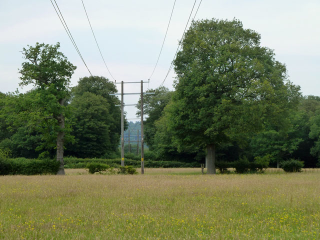
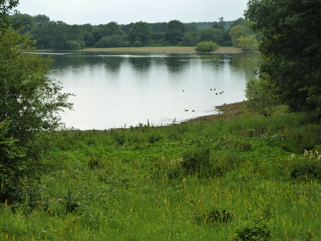
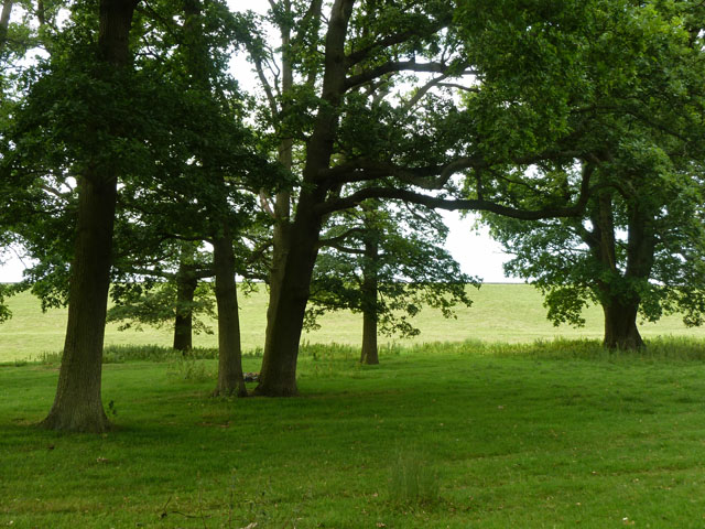
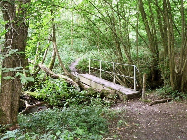
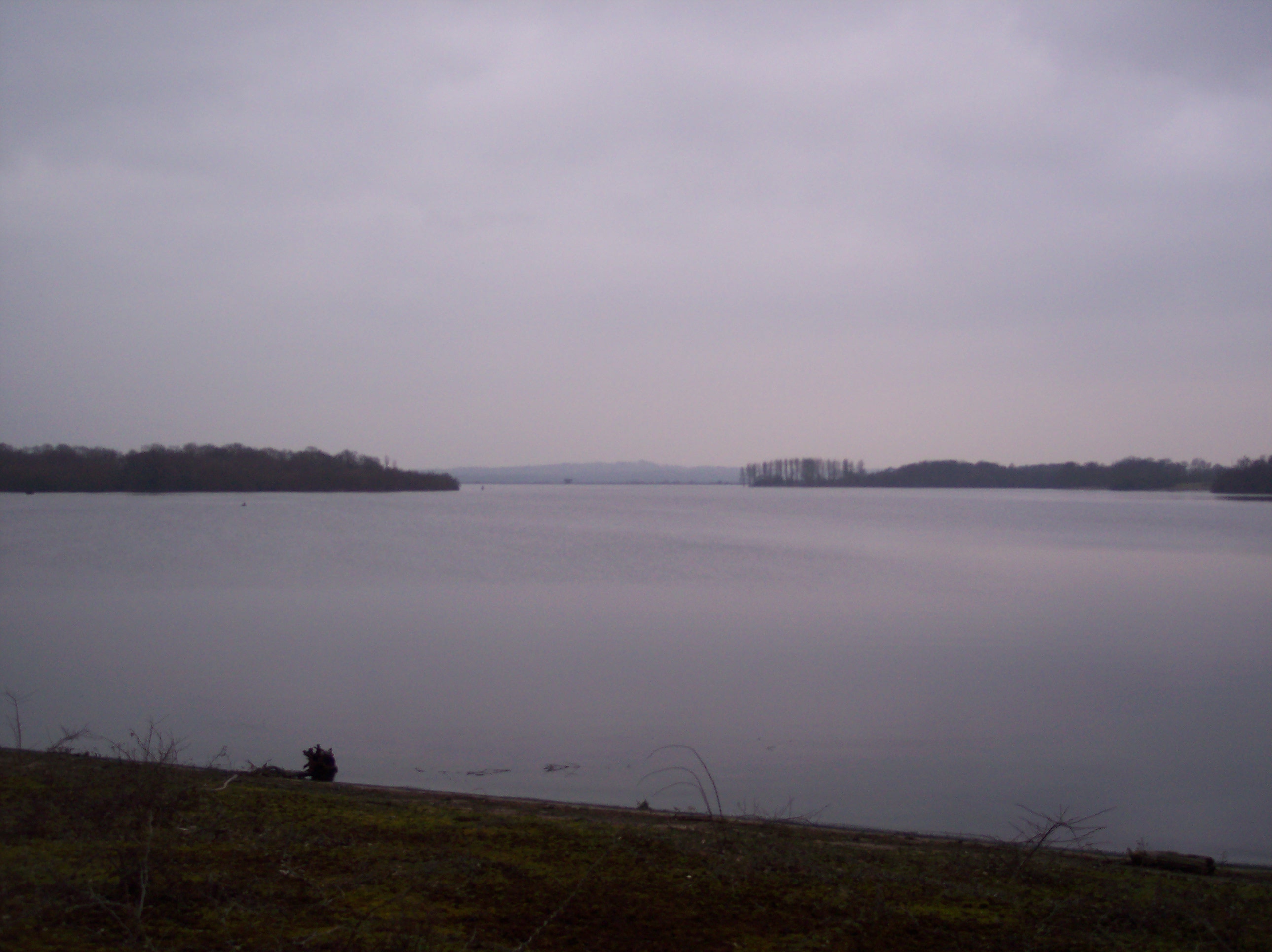
Longbroom Shaw is a picturesque woodland area located in Kent, England. Situated in the heart of the county, this forested space offers a tranquil and natural escape from the bustling cities nearby. Spanning across a considerable area, Longbroom Shaw is known for its diverse flora and fauna, making it a haven for nature enthusiasts and wildlife lovers.
The woodland is predominantly composed of broadleaf trees, including oak, beech, and birch. These majestic trees provide a dense canopy, creating a cool and shaded environment even during the height of summer. Walking through the forest, visitors can enjoy the peaceful ambiance and the soothing sounds of birds chirping and leaves rustling in the wind.
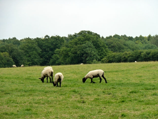
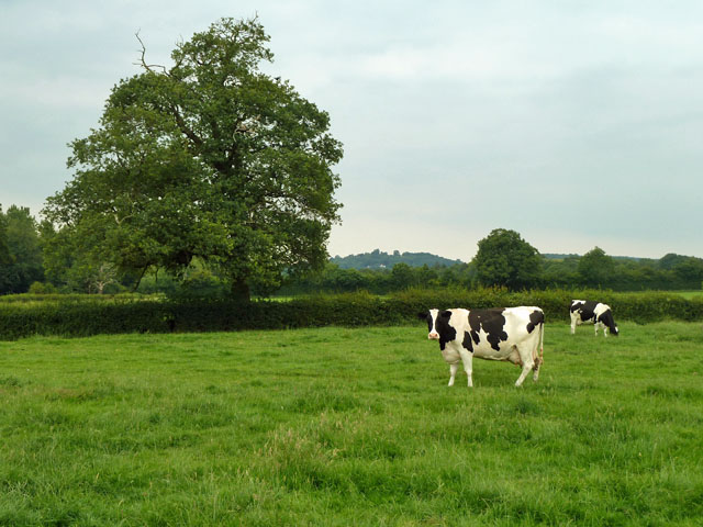
Longbroom Shaw is also home to a variety of wildlife species. Deer, foxes, rabbits, and squirrels can often be spotted roaming the forest floor, while a myriad of bird species, such as woodpeckers and owls, can be observed perched on tree branches or soaring through the sky.
The woodland offers several well-maintained trails for visitors to explore, providing an opportunity for leisurely walks or more adventurous hikes. These paths wind through the forest, guiding visitors to hidden clearings, babbling brooks, and stunning viewpoints. There are also designated picnic areas, where visitors can relax and enjoy a snack amidst the serene surroundings.
Longbroom Shaw is a cherished natural gem in Kent, offering a peaceful retreat for those seeking solace in nature. With its enchanting woodland, diverse wildlife, and well-maintained trails, this forested area is a must-visit destination for both locals and tourists alike.
If you have any feedback on the listing, please let us know in the comments section below.
Longbroom Shaw Images
Images are sourced within 2km of 51.221098/0.13623949 or Grid Reference TQ4949. Thanks to Geograph Open Source API. All images are credited.


Longbroom Shaw is located at Grid Ref: TQ4949 (Lat: 51.221098, Lng: 0.13623949)
Administrative County: Kent
District: Sevenoaks
Police Authority: Kent
What 3 Words
///calms.bolts.nights. Near Edenbridge, Kent
Nearby Locations
Related Wikis
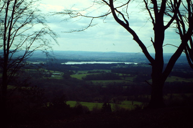
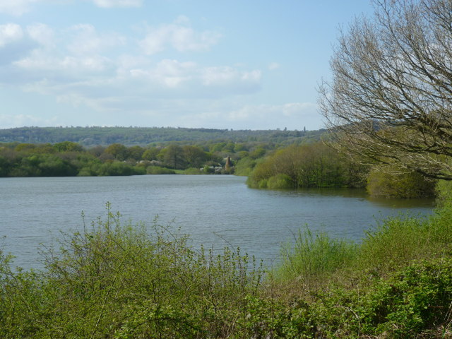
Bough Beech Reservoir
Bough Beech Reservoir is a 42-hectare (100-acre) nature reserve in Bough Beech, south-west of Sevenoaks in Kent. It was managed by the Kent Wildlife Trust...

Bore Place
Bore Place (also Boar Place) was the country seat of the manor of Milbroke in Kent. The manor house was constructed in around 1745. It was originally named...

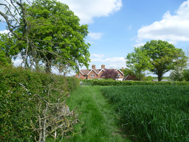
Polebrook Farm
Polebrook Farm is a 13-hectare (32-acre) biological Site of Special Scientific Interest south of Sevenoaks in Kent, England.The field layout of this farm...

Bough Beech
Bough Beech is a hamlet in the county of Kent, England, and is south of the Bough Beech Reservoir. It is located approximately three miles east of Edenbridge...
Nearby Amenities
Located within 500m of 51.221098,0.13623949Have you been to Longbroom Shaw?
Leave your review of Longbroom Shaw below (or comments, questions and feedback).