West Green Plantation

Wood, Forest in Cambridgeshire South Cambridgeshire

England

West Green Plantation

College Farm, Pampisford, Cambridgeshire
College Farm, Pampisford, Cambridgeshire Credit: Robert Edwards

West Green Plantation is a picturesque woodland located in the county of Cambridgeshire, England. Spanning over a vast area of land, this plantation is known for its thriving wood and forest ecosystem. The plantation is situated in the heart of the countryside, offering visitors a peaceful and serene environment to explore.

The woodland of West Green Plantation is home to a diverse array of plant and animal species. Towering oak and beech trees dominate the landscape, providing a dense canopy that allows limited sunlight to penetrate through the forest floor. This creates a unique setting, with dappled sunlight filtering through the leaves, creating a mesmerizing play of light and shadow.

The forest floor is covered in a rich carpet of moss, ferns, and wildflowers, providing a habitat for a variety of small mammals, birds, and insects. Visitors can catch glimpses of squirrels darting through the trees, while birdsong fills the air, creating a harmonious symphony of nature.

Numerous walking trails crisscross the plantation, allowing visitors to explore the woodland at their own pace. These paths wind through the enchanting forest, leading to hidden clearings and tranquil ponds. Nature enthusiasts can partake in birdwatching or simply immerse themselves in the tranquil ambiance of the woodland.

West Green Plantation is a cherished natural gem within Cambridgeshire, attracting both locals and tourists alike. Its untouched beauty and rich biodiversity make it an ideal destination for nature lovers and those seeking a peaceful escape from the hustle and bustle of everyday life.

If you have any feedback on the listing, please let us know in the comments section below.

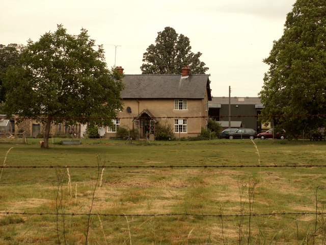
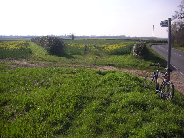
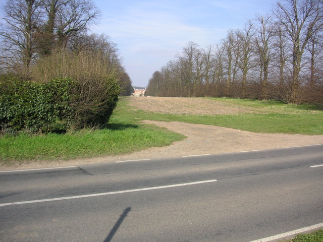
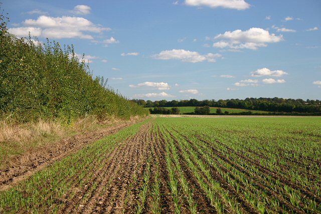
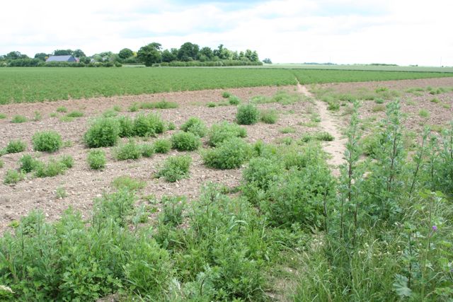
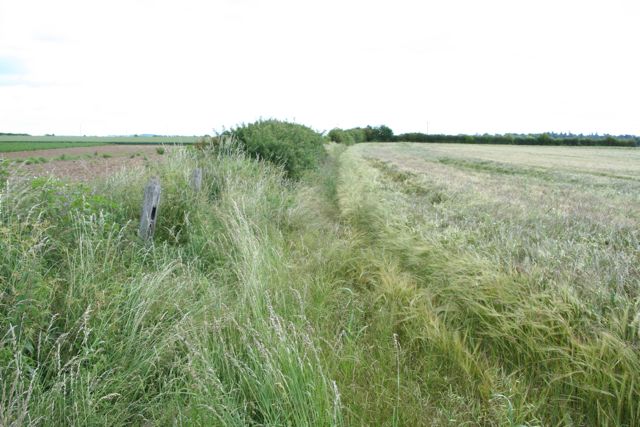
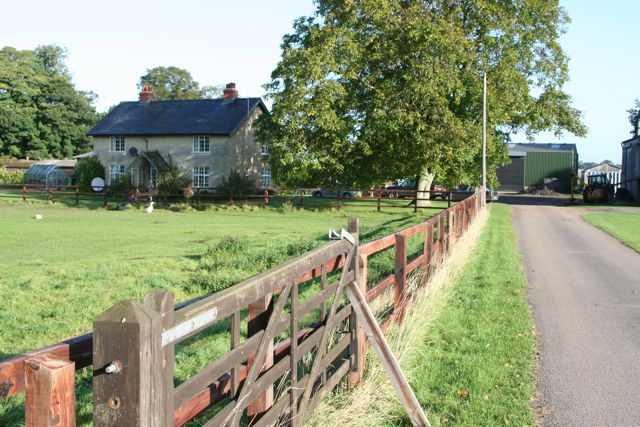
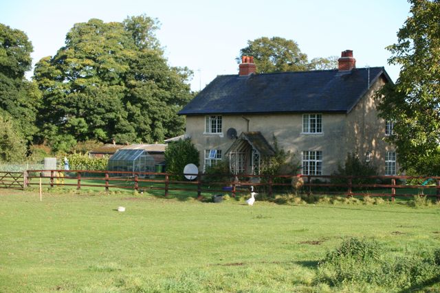
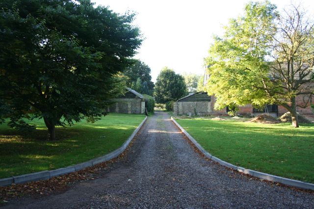
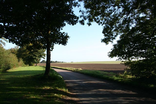
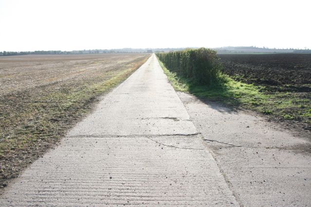
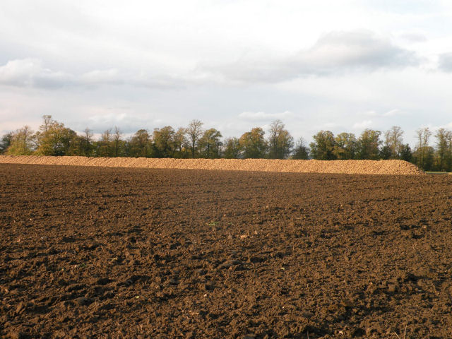
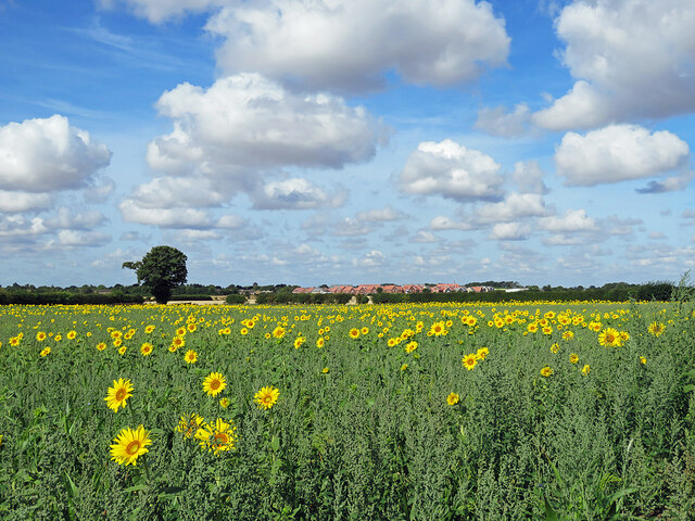
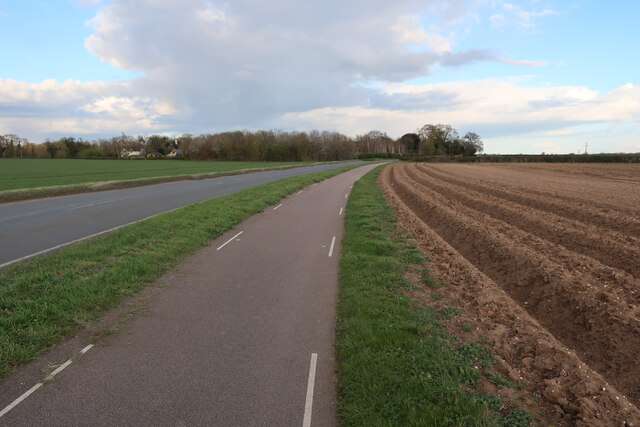
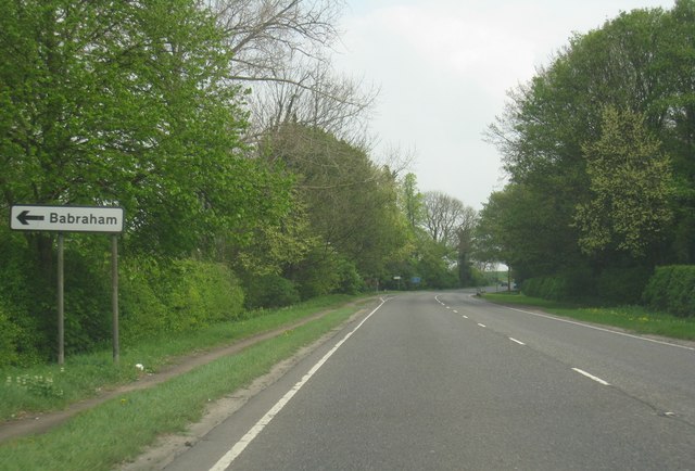
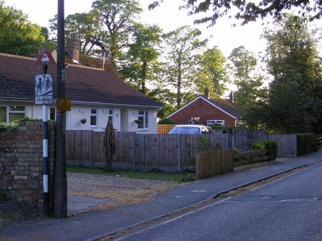
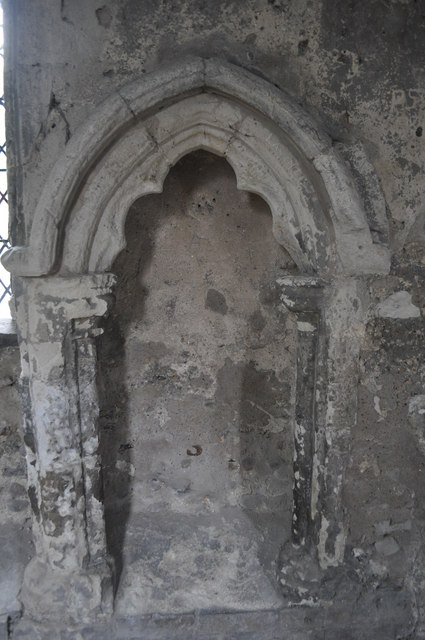
West Green Plantation Images

Images are sourced within 2km of 52.116042/0.17872394 or Grid Reference TL4948. Thanks to Geograph Open Source API. All images are credited.

College Farm, Pampisford, Cambridgeshire
Footpath diverging from Sawston Road Footpath diverging from Sawston Road near Church Farm. At the horizon there are the buildings of Sawston visible.
Footpath diverging from Sawston Road
Footpath diverging from Sawston Road near Church Farm. At the horizon there are the buildings of Sawston visible.
Babraham Hall viewed from Sawston Road Babraham Hall viewed from Sawston Road near Church Farm
Babraham Hall viewed from Sawston Road
Babraham Hall viewed from Sawston Road near Church Farm
Field at Pampisford A farm track runs along the left side of the hedgerow, leading to farmland between the A505 and the A11.
Field at Pampisford
A farm track runs along the left side of the hedgerow, leading to farmland between the A505 and the A11.
Track from Babraham to Sawston At this point it crosses a dismantled railway.
Track from Babraham to Sawston
At this point it crosses a dismantled railway.
Track from Babraham to Sawston Showing the line of the dismantled railway.
Track from Babraham to Sawston
Showing the line of the dismantled railway.
College Farm
College Farm
College Farm
College Farm
Home Farm
Home Farm
The Road to Babraham near Home Farm Peaceful and calm fields yet just yards from the busy A505 and A11
The Road to Babraham near Home Farm
Peaceful and calm fields yet just yards from the busy A505 and A11
Straight concrete farm track at Pampisford Looking more like the air strip at nearby Duxford than a farm track.
Straight concrete farm track at Pampisford
Looking more like the air strip at nearby Duxford than a farm track.
The Great Wall of Sugar-Beet
Sunflowers, sky and the new edge of Sawston Looking west from the cycle path near Church Farm towards the red roofs of the new estate going up off Babraham Road, on the north-eastern edge of Sawston (in <a href="https://www.geograph.org.uk/gridref/TL4950">TL4950</a>).
Sunflowers, sky and the new edge of Sawston
Looking west from the cycle path near Church Farm towards the red roofs of the new estate going up off Babraham Road, on the north-eastern edge of Sawston (in TL4950).
Cyclepath by Sawston Road With the field prepared for potatoes.
Cyclepath by Sawston Road
With the field prepared for potatoes.
Babraham turning - A505
Mill Lane, Sawston One of two pre-Worboys road signs that can be found either side of the local school. This sign is across the road from the local fire station.
Mill Lane, Sawston
One of two pre-Worboys road signs that can be found either side of the local school. This sign is across the road from the local fire station.
Mill Lane, Sawston Historic pre-Worboys school road sign as seen from entering from the High Street
Mill Lane, Sawston
Historic pre-Worboys school road sign as seen from entering from the High Street
Duxford Chapel A small 14th century chapel once part of hospital. The building is opened and run by English Heritage. See <span class="nowrap"><a title="http://www.english-heritage.org.uk/daysout/properties/duxford-chapel/" rel="nofollow ugc noopener" href="http://www.english-heritage.org.uk/daysout/properties/duxford-chapel/">Link</a><img style="margin-left:2px;" alt="External link" title="External link - shift click to open in new window" src="https://s1.geograph.org.uk/img/external.png" width="10" height="10"/></span>
Duxford Chapel
A small 14th century chapel once part of hospital. The building is opened and run by English Heritage. See LinkExternal link
Show me another place!

West Green Plantation is located at Grid Ref: TL4948 (Lat: 52.116042, Lng: 0.17872394)

Administrative County: Cambridgeshire

District: South Cambridgeshire

Police Authority: Cambridgeshire

What 3 Words

///elections.headrest.unwanted. Near Sawston, Cambridgeshire

Related Wikis

Sawston Hall Meadows

Sawston Hall Meadows is a 7.4-hectare (18-acre) biological Site of Special Scientific Interest in Sawston in Cambridgeshire.This site has spring fed peat...

Pampisford

Pampisford is a village, south of Cambridge, on the A505 road near Sawston, Cambridgeshire, England. The remaining section of a defensive ditch, dug to...
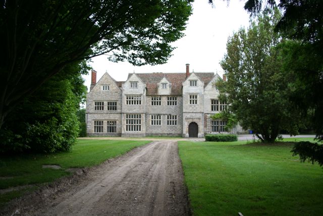
Sawston Hall

Sawston Hall is a Grade I listed Tudor manor house in Sawston, Cambridgeshire dating from the 16th century. It has many fine features, such as the magnificent...

Sawston

Sawston is a large village in Cambridgeshire in England, situated on the River Cam about seven miles (11 km) south of Cambridge. It has a population of...

Nearby Amenities

Located within 500m of 52.116042,0.17872394
Turning Circle
Lat/Long: 52.114456/0.1723444
Post Box
Collection Times: Mo-Fr 09:00; Sa 07:00
Operator: Royal Mail
Post Box Design: type_m
Post Box Type: pillar
Ref: CB22 473
Royal Cypher: EIIR
Royal Cypher Wikidata: Q33102113
Source: survey
Lat/Long: 52.1174389/0.1724916
Bus Stop
Brewery Road
Naptan AtcoCode: 0500SPAMP008
Naptan Bearing: E
Naptan BusStopType: CUS
Naptan CommonName: Brewery Road
Naptan Indicator: opp 61
Naptan Landmark: Brewery Road
Naptan NaptanCode: cmbgapdj
Naptan ShortCommonName: Brewery Road
Naptan Street: Brewery Road
Naptan Verified: no
Source: naptan_import
Lat/Long: 52.1127595/0.1780247
Bus Stop
Brewery Road
Naptan AtcoCode: 0500SPAMP009
Naptan Bearing: W
Naptan CommonName: Brewery Road
Naptan Indicator: o/s 61
Naptan Landmark: Brewery Road
Naptan NaptanCode: cmbgapdm
Naptan ShortCommonName: Brewery Road
Naptan Street: Brewery Road
Naptan Verified: no
Public Transport: platform
Source: naptan_import
Lat/Long: 52.1126697/0.1780204
Turning Circle
Lat/Long: 52.1156226/0.1728228
Turning Circle
Lat/Long: 52.1152174/0.1719832
Generator Method: photovoltaic
Generator Output Electricity: yes
Generator Source: solar
Generator Type: solar_photovoltaic_panel
Location: roof
Power: generator
Lat/Long: 52.1141649/0.1727959
Generator Method: photovoltaic
Generator Output Electricity: yes
Generator Source: solar
Generator Type: solar_photovoltaic_panel
Location: roof
Power: generator
Lat/Long: 52.1142753/0.1729542
Generator Method: photovoltaic
Generator Output Electricity: yes
Generator Source: solar
Generator Type: solar_photovoltaic_panel
Location: roof
Power: generator
Lat/Long: 52.1142259/0.1728764
Generator Method: photovoltaic
Generator Output Electricity: yes
Generator Source: solar
Generator Type: solar_photovoltaic_panel
Location: roof
Power: generator
Lat/Long: 52.1144087/0.1727074
Generator Method: photovoltaic
Generator Output Electricity: yes
Generator Source: solar
Generator Type: solar_photovoltaic_panel
Location: roof
Power: generator
Lat/Long: 52.1143692/0.1726162
Generator Method: photovoltaic
Generator Output Electricity: yes
Generator Source: solar
Generator Type: solar_photovoltaic_panel
Location: roof
Power: generator
Lat/Long: 52.1142259/0.1725653
Generator Method: photovoltaic
Generator Output Electricity: yes
Generator Source: solar
Generator Type: solar_photovoltaic_panel
Location: roof
Power: generator
Lat/Long: 52.1161464/0.1722836
Generator Method: photovoltaic
Generator Output Electricity: yes
Generator Source: solar
Generator Type: solar_photovoltaic_panel
Location: roof
Power: generator
Lat/Long: 52.1164791/0.1742966
Generator Method: photovoltaic
Generator Output Electricity: yes
Generator Source: solar
Generator Type: solar_photovoltaic_panel
Location: roof
Power: generator
Lat/Long: 52.1161307/0.1743489
Generator Method: photovoltaic
Generator Output Electricity: yes
Generator Source: solar
Generator Type: solar_photovoltaic_panel
Location: roof
Power: generator
Lat/Long: 52.1158993/0.1727141
Generator Method: photovoltaic
Generator Output Electricity: yes
Generator Source: solar
Generator Type: solar_photovoltaic_panel
Location: roof
Power: generator
Lat/Long: 52.1158812/0.1726793
Generator Method: photovoltaic
Generator Output Electricity: yes
Generator Source: solar
Generator Type: solar_photovoltaic_panel
Location: roof
Power: generator
Lat/Long: 52.1145817/0.1722354
Generator Method: photovoltaic
Generator Output Electricity: yes
Generator Source: solar
Generator Type: solar_photovoltaic_panel
Location: roof
Power: generator
Lat/Long: 52.1146377/0.1724526
Generator Method: photovoltaic
Generator Output Electricity: yes
Generator Source: solar
Generator Type: solar_photovoltaic_panel
Location: roof
Power: generator
Lat/Long: 52.1146574/0.1725572
Generator Method: photovoltaic
Generator Output Electricity: yes
Generator Source: solar
Generator Type: solar_photovoltaic_panel
Location: roof
Power: generator
Lat/Long: 52.114692/0.1726605
Generator Method: photovoltaic
Generator Output Electricity: yes
Generator Source: solar
Generator Type: solar_photovoltaic_panel
Location: roof
Power: generator
Lat/Long: 52.1150503/0.1727785
Generator Method: photovoltaic
Generator Output Electricity: yes
Generator Source: solar
Generator Type: solar_photovoltaic_panel
Location: roof
Power: generator
Lat/Long: 52.1149959/0.1728161
Generator Method: photovoltaic
Generator Output Electricity: yes
Generator Source: solar
Generator Type: solar_photovoltaic_panel
Location: roof
Power: generator
Lat/Long: 52.1148246/0.1731232
Leisure: park
Lat/Long: 52.1130924/0.18132
Bench
Inscription: In memory of Dick Brown
Lat/Long: 52.1127818/0.181
Bench
Lat/Long: 52.112773/0.181124
The data included in this document is from www.openstreetmap.org. The data is made available under ODbL.

Have you been to West Green Plantation?

Leave your review of West Green Plantation below (or comments, questions and feedback).