Creek's Plantation

Wood, Forest in Cambridgeshire South Cambridgeshire

England

Creek's Plantation

College Farm, Pampisford, Cambridgeshire
College Farm, Pampisford, Cambridgeshire Credit: Robert Edwards

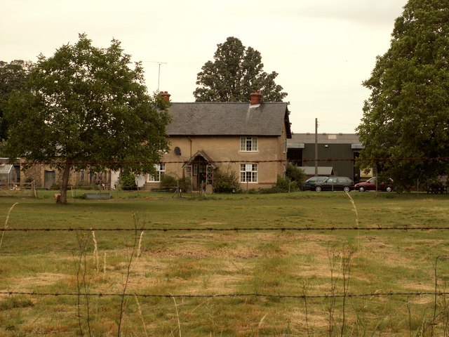
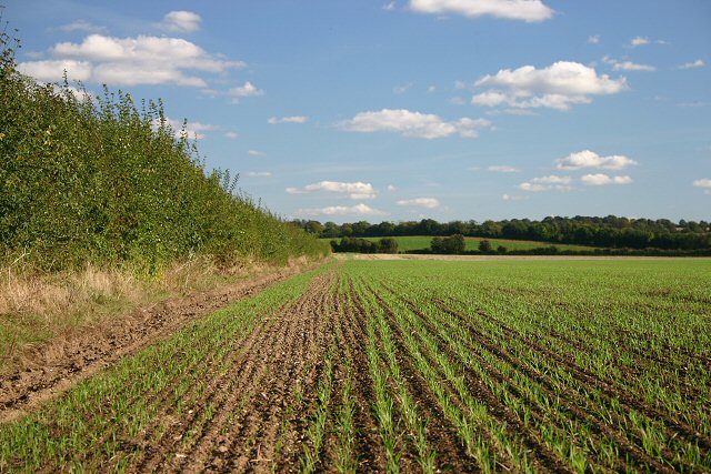
Creek's Plantation, located in Cambridgeshire, England, is a picturesque woodland area known for its natural beauty and diverse ecosystem. Covering a substantial area of land, the plantation is a haven for nature enthusiasts and those seeking tranquility amidst the bustling urban environment.

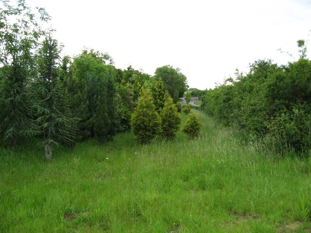
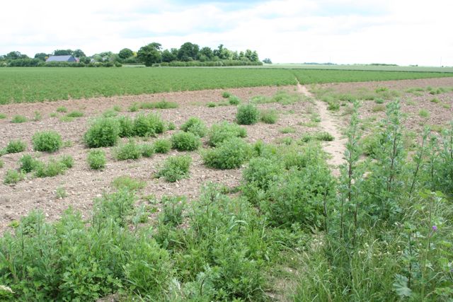
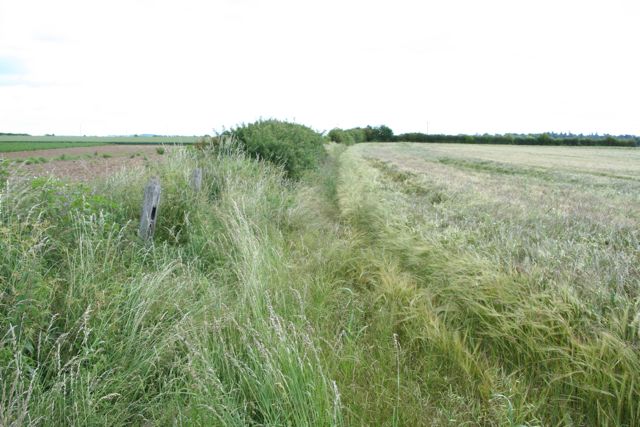
The plantation is predominantly made up of various species of trees, creating a stunning forest landscape. Towering oak, beech, and ash trees dominate the area, their majestic canopies providing shade and shelter for an array of wildlife. The forest floor is a carpet of lush greenery, with ferns, wildflowers, and mosses creating a rich tapestry of colors.

This woodland is not only visually appealing but also plays a vital role in supporting local biodiversity. Creek's Plantation is home to numerous animal species, including deer, foxes, badgers, and an abundance of birdlife. Birdwatchers will delight in the opportunity to spot woodpeckers, owls, and various songbirds that call this place home.

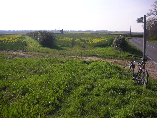
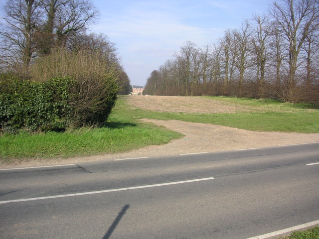
The plantation offers a range of recreational activities for visitors. Well-maintained trails meander through the woodland, allowing hikers, joggers, and cyclists to explore the area at their leisure. Picnic spots are scattered throughout the plantation, offering the perfect setting for a peaceful outdoor lunch or a family gathering.

Creek's Plantation is not only a place of natural beauty but also an important site for conservation and education. Local organizations organize guided tours and educational programs to create awareness about the importance of preserving and protecting our natural habitats.

Overall, Creek's Plantation is a treasured woodland area in Cambridgeshire that provides a sanctuary for both wildlife and humans alike, offering a respite from the modern world and a chance to connect with nature.

If you have any feedback on the listing, please let us know in the comments section below.

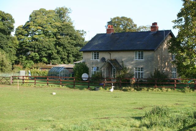
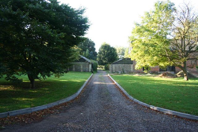
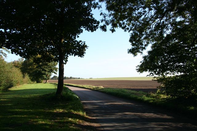
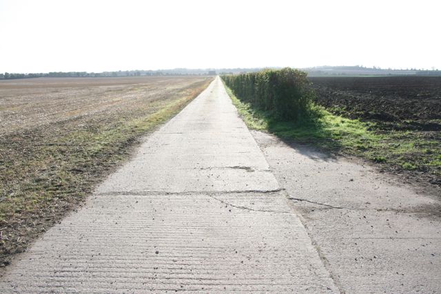
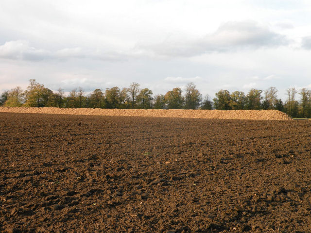
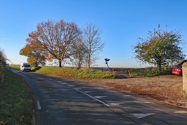
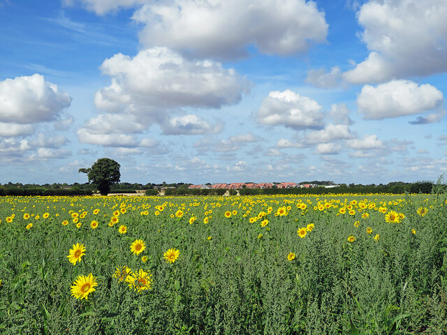
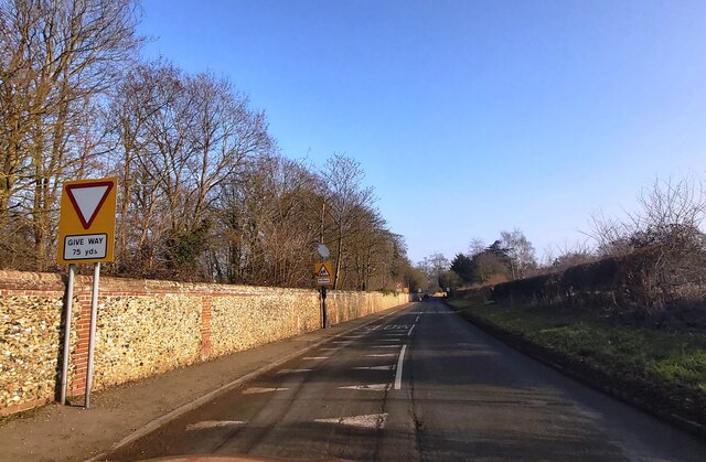
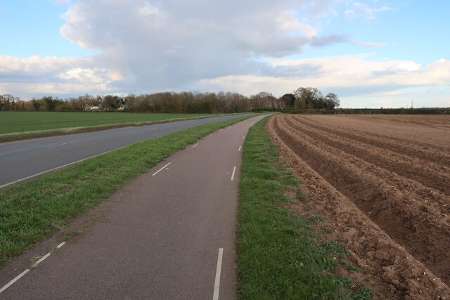
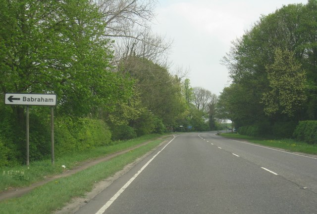
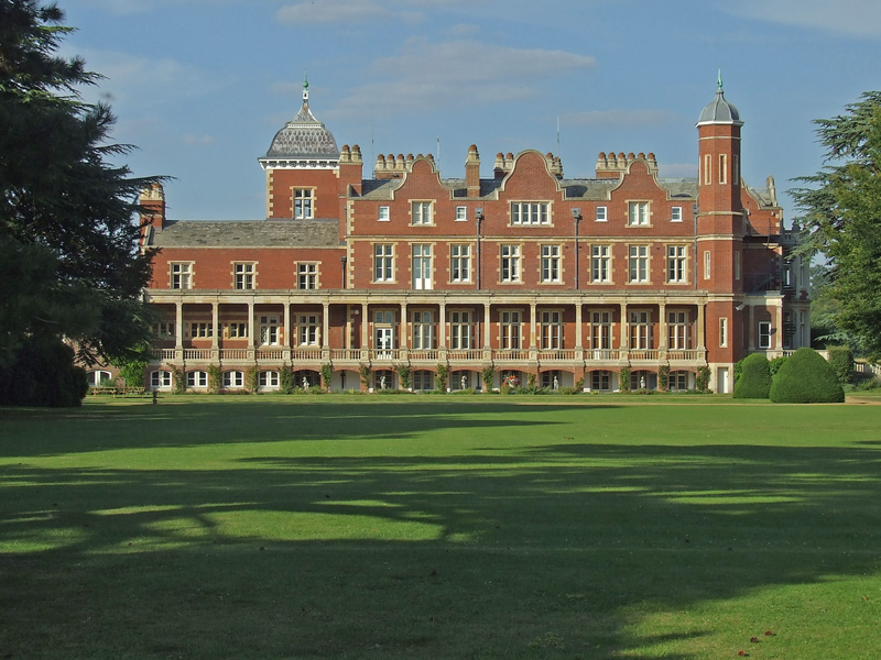
Creek's Plantation Images

Images are sourced within 2km of 52.115041/0.18470747 or Grid Reference TL4948. Thanks to Geograph Open Source API. All images are credited.

College Farm, Pampisford, Cambridgeshire
Footpath diverging from Sawston Road Footpath diverging from Sawston Road near Church Farm. At the horizon there are the buildings of Sawston visible.
Footpath diverging from Sawston Road
Footpath diverging from Sawston Road near Church Farm. At the horizon there are the buildings of Sawston visible.
Babraham Hall viewed from Sawston Road Babraham Hall viewed from Sawston Road near Church Farm
Babraham Hall viewed from Sawston Road
Babraham Hall viewed from Sawston Road near Church Farm
Course of old railway Course of the old Cambridge to Haverhill railway line (part of the 'Stour Valley Line') near Pampisford. The site of Pampisford station is now lost under the widened A11 trunk road.
Course of old railway
Course of the old Cambridge to Haverhill railway line (part of the 'Stour Valley Line') near Pampisford. The site of Pampisford station is now lost under the widened A11 trunk road.
Field at Pampisford A farm track runs along the left side of the hedgerow, leading to farmland between the A505 and the A11.
Field at Pampisford
A farm track runs along the left side of the hedgerow, leading to farmland between the A505 and the A11.
Track from Babraham to Sawston At this point it crosses a dismantled railway.
Track from Babraham to Sawston
At this point it crosses a dismantled railway.
Track from Babraham to Sawston Showing the line of the dismantled railway.
Track from Babraham to Sawston
Showing the line of the dismantled railway.
College Farm
College Farm
College Farm
College Farm
Home Farm
Home Farm
The Road to Babraham near Home Farm Peaceful and calm fields yet just yards from the busy A505 and A11
The Road to Babraham near Home Farm
Peaceful and calm fields yet just yards from the busy A505 and A11
Straight concrete farm track at Pampisford Looking more like the air strip at nearby Duxford than a farm track.
Straight concrete farm track at Pampisford
Looking more like the air strip at nearby Duxford than a farm track.
The Great Wall of Sugar-Beet
Babraham: at the corner of Rowley Lane The skew-whiff fingerpost points along Rowley Lane, a track to Stapleford. The van is coming in to Babraham from Sawston or Pampisford.
Babraham: at the corner of Rowley Lane
The skew-whiff fingerpost points along Rowley Lane, a track to Stapleford. The van is coming in to Babraham from Sawston or Pampisford.
Sunflowers, sky and the new edge of Sawston Looking west from the cycle path near Church Farm towards the red roofs of the new estate going up off Babraham Road, on the north-eastern edge of Sawston (in <a href="https://www.geograph.org.uk/gridref/TL4950">TL4950</a>).
Sunflowers, sky and the new edge of Sawston
Looking west from the cycle path near Church Farm towards the red roofs of the new estate going up off Babraham Road, on the north-eastern edge of Sawston (in TL4950).
Approaching Babraham
Cyclepath by Sawston Road With the field prepared for potatoes.
Cyclepath by Sawston Road
With the field prepared for potatoes.
Babraham turning - A505
Show me another place!

Creek's Plantation is located at Grid Ref: TL4948 (Lat: 52.115041, Lng: 0.18470747)

Administrative County: Cambridgeshire

District: South Cambridgeshire

Police Authority: Cambridgeshire

What 3 Words

///pickle.micro.dreading. Near Sawston, Cambridgeshire

Related Wikis

Pampisford

Pampisford is a village, south of Cambridge, on the A505 road near Sawston, Cambridgeshire, England. The remaining section of a defensive ditch, dug to...

Sawston Hall Meadows

Sawston Hall Meadows is a 7.4-hectare (18-acre) biological Site of Special Scientific Interest in Sawston in Cambridgeshire.This site has spring fed peat...
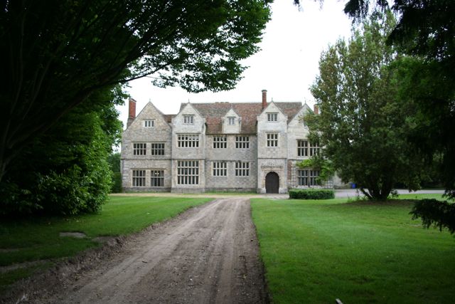
Sawston Hall

Sawston Hall is a Grade I listed Tudor manor house in Sawston, Cambridgeshire dating from the 16th century. It has many fine features, such as the magnificent...

Babraham

Babraham is a village and civil parish in the South Cambridgeshire district of Cambridgeshire, England, about 6 miles (9.7 km) south-east of Cambridge...

Pampisford Hall

Pampisford Hall is a country house designed by George Goldie in the civil parish of Pampisford in the English county of Cambridgeshire. It became a Grade...

Sawston

Sawston is a large village in Cambridgeshire in England, situated on the River Cam about seven miles (11 km) south of Cambridge. It has a population of...

Hanley Grange

Hanley Grange is the name given to an eco-town planned for land north of Hinxton in South Cambridgeshire. Initial proposals for 8,000 homes rising to...

Duxford Chapel

Duxford Chapel is a chapel that was once part of the Hospital of St. John, founded by William de Colville (d.1230) at Duxford, in Cambridgeshire, England...

Nearby Amenities

Located within 500m of 52.115041,0.18470747
Pampisford
Is In: Cambridgeshire, England, UK
Place: village
Population: 350
Source Population: http://www.scambs.gov.uk/CommunityandLiving/VillageServicesAndAmenities/
Wikidata: Q2119953
Lat/Long: 52.1115476/0.184173
Rectory Farm
Note Retag: CS #48756035
Place: farm
Lat/Long: 52.1111012/0.183288
Post Box
Collection Times: Mo-Fr 09:00; Sa 07:00
Operator: Royal Mail
Post Box Type: lamp
Ref: CB22 453
Royal Cypher: EIIR
Royal Cypher Wikidata: Q33102113
Source: survey
Lat/Long: 52.1108646/0.1850306
College Farm
Note Retag: CS #48756035
Place: farm
Lat/Long: 52.1148368/0.1900477
Bus Stop
High Street
Naptan AtcoCode: 0500SPAMP004
Naptan Bearing: SE
Naptan CommonName: High Street
Naptan Indicator: near
Naptan Landmark: High Street
Naptan NaptanCode: cmbgapat
Naptan ShortCommonName: High Street
Naptan Street: Brewery Road
Naptan Verified: no
Source: naptan_import
Lat/Long: 52.1109029/0.184565
Bus Stop
High Street
Naptan AtcoCode: 0500SPAMP006
Naptan Bearing: NW
Naptan CommonName: High Street
Naptan Indicator: opp
Naptan Landmark: High Street
Naptan NaptanCode: cmbgapda
Naptan ShortCommonName: High Street
Naptan Street: Brewery Road
Naptan Verified: no
Public Transport: platform
Source: naptan_import
Lat/Long: 52.1109684/0.1841755
Generator Method: photovoltaic
Generator Output Electricity: yes
Generator Source: solar
Generator Type: solar_photovoltaic_panel
Location: roof
Power: generator
Lat/Long: 52.112022/0.1828006
Leisure: park
Lat/Long: 52.1130924/0.18132
Bench
Inscription: In memory of Dick Brown
Lat/Long: 52.1127818/0.181
Bench
Lat/Long: 52.112773/0.181124
Telephone
Booth: K6
Covered: booth
Listed Status: Grade II
Phone: +44 1223 834817
Wikidata: Q26561843
Lat/Long: 52.1117525/0.1852883
The data included in this document is from www.openstreetmap.org. The data is made available under ODbL.

Have you been to Creek's Plantation?

Leave your review of Creek's Plantation below (or comments, questions and feedback).